Aber-Cneiddion Wood
Wood, Forest in Brecknockshire
Wales
Aber-Cneiddion Wood

Aber-Cneiddion Wood is a picturesque woodland located in Brecknockshire, Wales. Covering an area of approximately 200 acres, this ancient forest is nestled within the stunning Brecon Beacons National Park, offering visitors a tranquil and enchanting natural haven.
The woodland is primarily composed of native broadleaf trees such as oak, beech, and birch, creating a diverse and rich ecosystem. These majestic trees provide a sanctuary for a variety of wildlife, including birds, mammals, and insects, making it a popular destination for nature enthusiasts and birdwatchers.
The forest is crisscrossed by a network of well-maintained paths and trails, allowing visitors to explore its hidden gems at their own pace. These paths lead to scenic viewpoints, babbling streams, and peaceful picnic spots, providing ample opportunities for relaxation and immersion in nature.
Aber-Cneiddion Wood boasts a rich history, with evidence of human habitation dating back thousands of years. The presence of ancient burial mounds and remnants of Iron Age settlements in the surrounding area adds to the intrigue and sense of connection to the past.
The woodland is managed by the local authorities, who prioritize conservation and maintaining the natural integrity of the forest. They organize educational programs and guided walks to promote environmental awareness and appreciation of the area's natural heritage.
A visit to Aber-Cneiddion Wood promises a rejuvenating experience amidst the beauty of nature. Whether it's a leisurely stroll, an exploration of its historical significance, or simply a moment of tranquility, this woodland offers something for everyone seeking solace in the great outdoors.
If you have any feedback on the listing, please let us know in the comments section below.
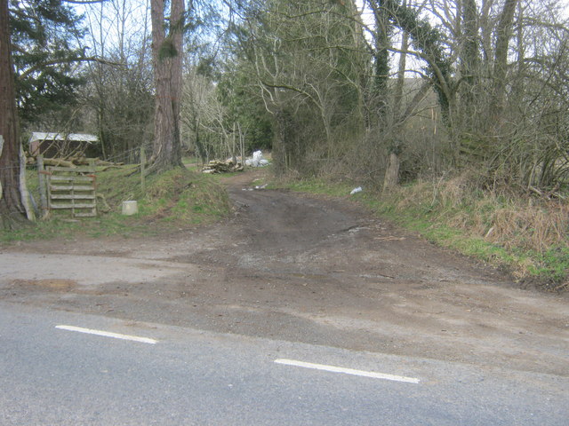
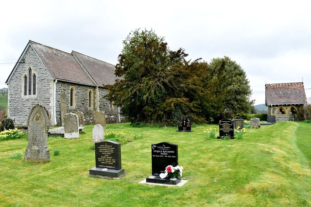
Aber-Cneiddion Wood Images
Images are sourced within 2km of 52.138463/-3.4307364 or Grid Reference SO0249. Thanks to Geograph Open Source API. All images are credited.


Aber-Cneiddion Wood is located at Grid Ref: SO0249 (Lat: 52.138463, Lng: -3.4307364)
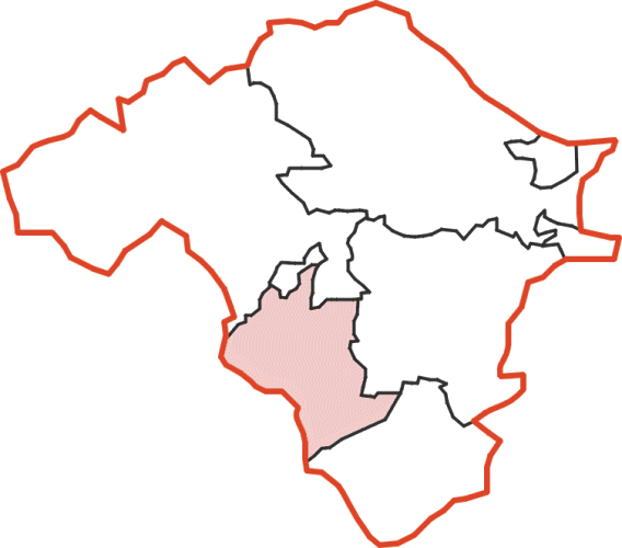
Unitary Authority: Powys
Police Authority: Dyfed Powys
What 3 Words
///hiked.users.worry. Near Builth Wells, Powys
Nearby Locations
Related Wikis
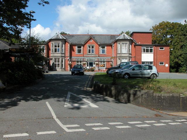
Builth Wells Hospital
Builth Wells Hospital (Welsh: Ysbyty Llanfair ym Muallt) was a heath facility in Bronllys, Wales. It was managed by Powys Teaching Health Board. ��2�...

Builth Wells F.C.
Builth Wells F.C. is a Welsh football club based in Builth Wells, Powys. They are currently playing in the Ardal Leagues North East, the third tier of...

Builth Wells
Builth Wells (; Welsh: Llanfair-ym-Muallt) is a market town and community in the county of Powys and historic county of Brecknockshire (Breconshire), mid...
Colwyn Rural District
Colwyn was, from 1894 to 1974, a rural district in the administrative county of Radnorshire, Wales. The district was formed by the Local Government Act...
Nearby Amenities
Located within 500m of 52.138463,-3.4307364Have you been to Aber-Cneiddion Wood?
Leave your review of Aber-Cneiddion Wood below (or comments, questions and feedback).