Coed Bâch
Wood, Forest in Montgomeryshire
Wales
Coed Bâch

The requested URL returned error: 429 Too Many Requests
If you have any feedback on the listing, please let us know in the comments section below.
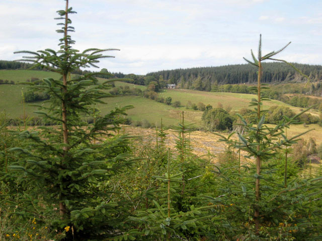
Coed Bâch Images
Images are sourced within 2km of 52.681945/-3.4486444 or Grid Reference SJ0210. Thanks to Geograph Open Source API. All images are credited.


Coed Bâch is located at Grid Ref: SJ0210 (Lat: 52.681945, Lng: -3.4486444)
Unitary Authority: Powys
Police Authority: Dyfed Powys
What 3 Words
///audio.sand.height. Near Llangadfan, Powys
Nearby Locations
Related Wikis

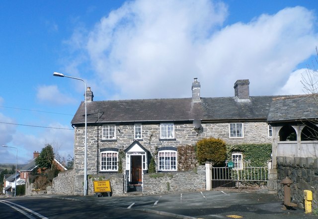
Llangadfan
Llangadfan is a small village in Powys, Wales, based in the community of Banwy. The village lies on the A458 between Foel and Llanerfyl, 12 kilometres...
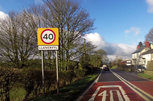
Llanerfyl
Llanerfyl is a village and community in Montgomeryshire, Powys, Wales. Located near the River Banwy, the community includes the village of Llanerfyl, several...

Four Crosses, Llanfair Caereinion
Four Crosses is a hamlet located west of Llanfair Caereinion in Powys, Wales. It is situated off the A458 between Llanfair Caereinion and Mallwyd. The...
Dyfnant Forest
Dyfnant Forest is a remote forest in northeastern-central Powys, Wales. == Location == Dyfnant Forest lies to the west of the B4395 road, a road which...
Nearby Amenities
Located within 500m of 52.681945,-3.4486444Have you been to Coed Bâch?
Leave your review of Coed Bâch below (or comments, questions and feedback).