Coed Gaerwen
Wood, Forest in Merionethshire
Wales
Coed Gaerwen

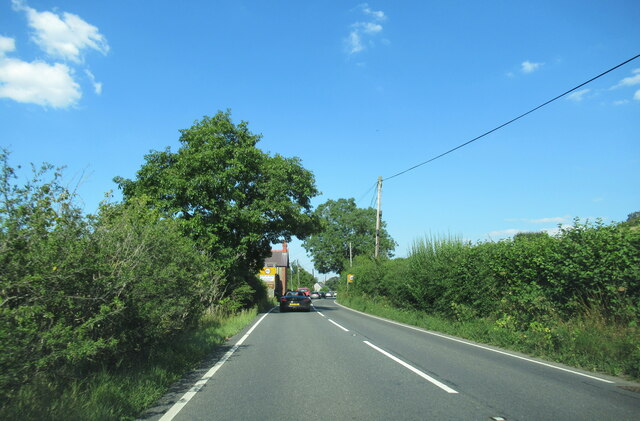
Coed Gaerwen is a picturesque woodland located in the county of Merionethshire, Wales. Situated near the village of Gaerwen, this enchanting forest covers an area of approximately 200 acres. Coed Gaerwen is renowned for its rich biodiversity, stunning landscapes, and tranquil atmosphere.
The woodland is predominantly composed of native tree species such as oak, beech, and birch, which create a dense canopy that provides shade and shelter for a variety of flora and fauna. The forest floor is adorned with an array of wildflowers, including bluebells, primroses, and foxgloves, which add vibrant splashes of color during the spring and summer months.
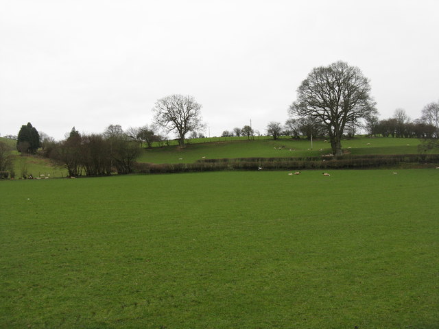
Coed Gaerwen is a haven for wildlife enthusiasts, as it is home to a diverse range of animal species. Visitors may have the opportunity to spot native mammals such as foxes, badgers, and otters, as well as a wide variety of bird species including woodpeckers, owls, and buzzards. The forest also supports a thriving population of insects, providing a vital habitat for butterflies, beetles, and dragonflies.
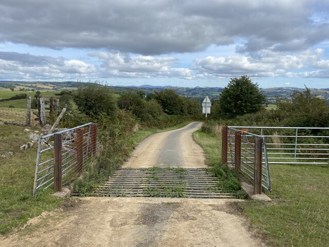
In addition to its ecological significance, Coed Gaerwen offers a range of recreational opportunities for visitors. The forest is crisscrossed with a network of well-maintained walking trails, allowing visitors to explore the woodland at their own pace. The peaceful ambiance of the forest makes it an ideal location for nature walks, picnics, and photography.
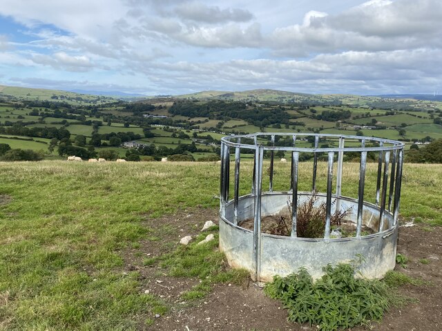
Overall, Coed Gaerwen is a captivating woodland that attracts nature lovers and outdoor enthusiasts alike. Its stunning natural beauty, diverse wildlife, and tranquil atmosphere make it a must-visit destination for anyone seeking to immerse themselves in the wonders of nature.
If you have any feedback on the listing, please let us know in the comments section below.
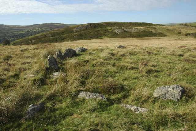
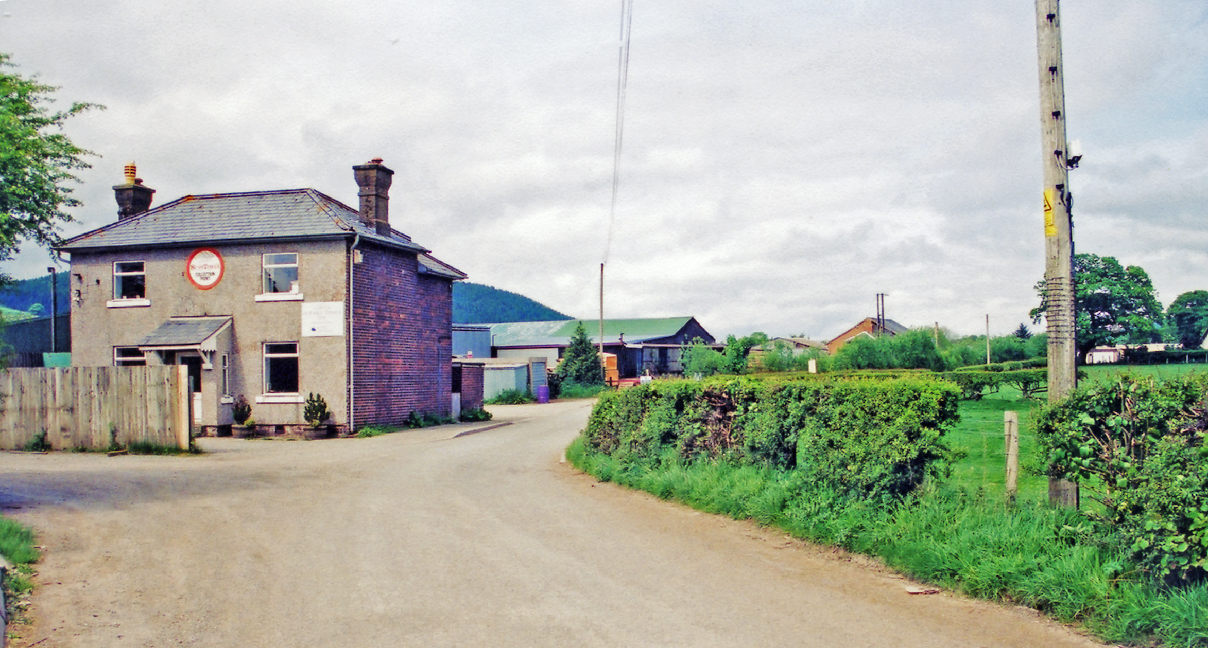
Coed Gaerwen Images
Images are sourced within 2km of 52.954133/-3.459632 or Grid Reference SJ0240. Thanks to Geograph Open Source API. All images are credited.


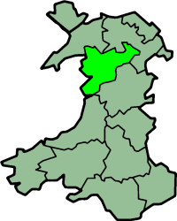
Coed Gaerwen is located at Grid Ref: SJ0240 (Lat: 52.954133, Lng: -3.459632)
Unitary Authority: Denbighshire
Police Authority: North Wales
What 3 Words
///pile.ballroom.encodes. Near Llandrillo, Denbighshire
Nearby Locations
Related Wikis

Glan-yr-afon, Gwynedd
Glan-yr-afon is a small village near Corwen in Gwynedd, Wales and is situated on the A494. The village is on the boundary of Gwynedd and Denbighshire....
A494 road
The A494 is a trunk road in Wales and England. The route, which is officially known as the Dolgellau to South of Birkenhead Trunk Road, runs between the...
Caer Euni
Caer Euni [Grid reference SJ 00027 41266] is an Iron Age hillfort, about 2.5 miles (4 km) north-east of the village of Llandderfel and about 5 miles (8...
Llandrillo railway station
Llandrillo railway station (ɬandriːɬɔ) in Denbighshire, Wales, was a station on the Ruabon to Barmouth line. It was to have closed to passengers on Monday...
Edeirnion
Edeirnion or Edeyrnion is an area of the county of Denbighshire and an ancient commote of medieval Wales in the cantref of Penllyn. According to tradition...

Cynwyd railway station (Wales)
Cynwyd () was a railway station in Cynwyd, Denbighshire, Wales on the Ruabon Barmouth Line. It was to have closed to passengers on Monday 18 January 1965...

Druid, Denbighshire
Druid (Welsh: Y Ddwyryd) is a small village in Denbighshire, Wales. The village is located where the A5 and the A494 meet, about two miles west of Corwen...
Gwerclas
Gwerclas usually refers to a former castle and farmstead close to Cymmer in the parish of Llangar in the ancient cantref of Edeyrnion, Wales. It is now...
Nearby Amenities
Located within 500m of 52.954133,-3.459632Have you been to Coed Gaerwen?
Leave your review of Coed Gaerwen below (or comments, questions and feedback).