Broneirion Wood
Wood, Forest in Montgomeryshire
Wales
Broneirion Wood

Broneirion Wood is a pristine woodland located in Montgomeryshire, Wales. Situated near the village of Llandinam, this enchanting forest covers a vast area of approximately 100 acres. The wood is nestled within the picturesque Severn Valley, surrounded by rolling hills and meandering streams.
The woodland is predominantly composed of native tree species, including oak, beech, birch, and ash. These majestic trees create a dense canopy, which filters sunlight and creates a tranquil atmosphere throughout the wood. The forest floor is adorned with an array of wildflowers, ferns, and mosses, adding to the natural beauty of the landscape.
Broneirion Wood is a haven for wildlife, providing an ideal habitat for various species. Birdwatchers can spot a variety of avian inhabitants, such as woodpeckers, nuthatches, and tawny owls. Squirrels can be seen darting through the branches, while badgers and foxes leave their traces on the forest floor.
The wood offers a network of well-maintained walking trails, allowing visitors to explore its magical surroundings. These trails wind through the woodland, offering glimpses of breathtaking vistas and secluded spots for picnics or quiet contemplation. The serene atmosphere and natural beauty make Broneirion Wood a popular destination for nature enthusiasts, hikers, and photographers.
Managed by local conservation organizations, the woodland is carefully preserved and protected. Visitors are encouraged to respect the delicate ecosystem and adhere to designated pathways. With its tranquil ambiance, diverse wildlife, and stunning scenery, Broneirion Wood continues to captivate visitors and serve as a testament to the natural wonders of Montgomeryshire.
If you have any feedback on the listing, please let us know in the comments section below.
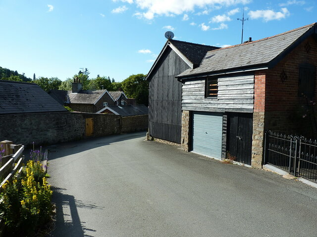
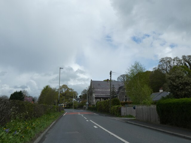
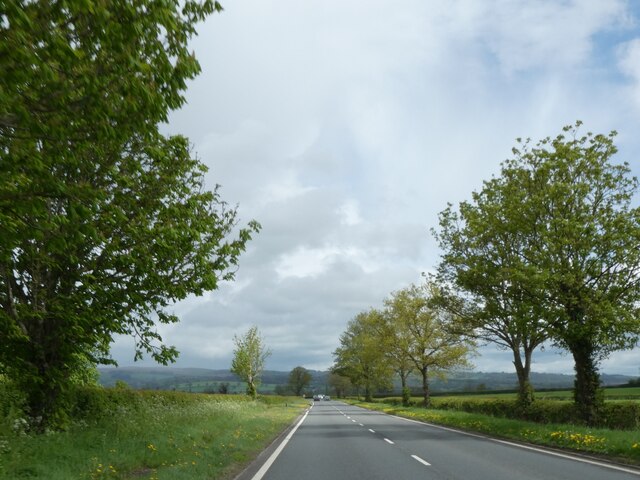
Broneirion Wood Images
Images are sourced within 2km of 52.487805/-3.4455544 or Grid Reference SO0188. Thanks to Geograph Open Source API. All images are credited.


![Council axle weight restriction on Llandinam Bridge Dated 1906 by Montgomeryshire CC, the cast iron sign states that &quot;This bridge is insufficient[ly strong] to carry heavy motor cars&quot; where the registered axle weight of any axle exceeds three tons. It forms part of the bridge&#039;s Grade II* listing <span class="nowrap"><a title="https://britishlistedbuildings.co.uk/300015653-llandinam-bridge-llandinam#.Yt14XnbMLIU" rel="nofollow ugc noopener" href="https://britishlistedbuildings.co.uk/300015653-llandinam-bridge-llandinam#.Yt14XnbMLIU">Link</a><img style="margin-left:2px;" alt="External link" title="External link - shift click to open in new window" src="https://s1.geograph.org.uk/img/external.png" width="10" height="10"/></span>](https://s0.geograph.org.uk/geophotos/07/23/69/7236920_fef2575f.jpg)


Broneirion Wood is located at Grid Ref: SO0188 (Lat: 52.487805, Lng: -3.4455544)
Unitary Authority: Powys
Police Authority: Dyfed Powys
What 3 Words
///linked.divisible.websites. Near Mochdre, Powys
Nearby Locations
Related Wikis

Broneirion
Broneirion is a Victorian house and grounds on the hillside across the River Severn from the village of Llandinam. It was built by Welsh industrialist...

Llandinam railway station
Llandinam railway station was a station serving Llandinam, Powys, on the Llanidloes and Newtown Railway (L&NR) line. The L&NR was authorised in August...
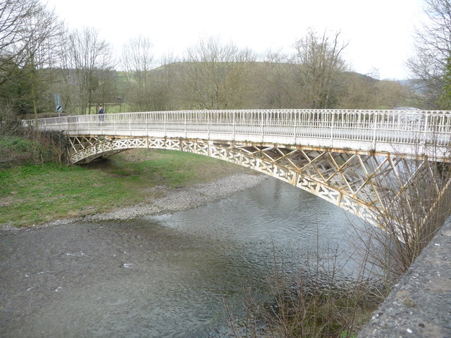
Llandinam Bridge
Llandinam Bridge (Welsh: Pont Llandinam) is a single-arch cast-iron Grade II*-listed bridge located in Llandinam, Powys, Wales. Constructed in 1846, it...

Penystrywad
Penystrywad is a village near Llandinam in Powys, central Wales, between Newtown and Llanidloes, located on the A470.

Llandinam
Llandinam () is a village and community in Montgomeryshire, Powys, central Wales, between Newtown and Llanidloes, located on the A470. As a community,...

Cefn Carnedd
Cefn Carnedd is an Iron Age hillfort, about 1.5 miles (2 km) south-west of Caersws, in Powys, Wales. It is a scheduled monument.It is on a hill overlooking...
Recreation Ground, Caersws
Recreation Ground is a multi-use stadium in Caersws, Wales. It is currently used mostly for football matches and is the home ground of Caersws F.C. The...

Caersws railway station
Caersws railway station is on the Cambrian Line in mid-Wales, serving the village of Caersws. It is notable in that there are 22 miles (35 km) separating...
Nearby Amenities
Located within 500m of 52.487805,-3.4455544Have you been to Broneirion Wood?
Leave your review of Broneirion Wood below (or comments, questions and feedback).