Coed Faenol-bropor
Wood, Forest in Flintshire
Wales
Coed Faenol-bropor
Coed Faenol-bropor is a charming woodland located in Flintshire, Wales. Covering an area of approximately 100 acres, it is a haven of natural beauty and tranquility. The woodland is nestled within the picturesque landscape of Flintshire, offering visitors a unique opportunity to explore and immerse themselves in nature.
Coed Faenol-bropor is home to a diverse range of trees, including oak, beech, and birch, which create a dense and enchanting forest canopy. The woodland floor is carpeted with a rich variety of flora, such as bluebells, wild garlic, and ferns, adding to the magical atmosphere.
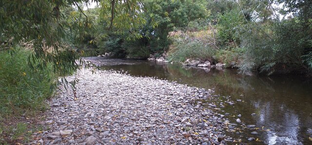
The woodland is crisscrossed by a network of paths and trails, allowing visitors to explore its beauty at their own pace. These paths lead to hidden gems, such as a picturesque stream that meanders through the forest, providing a soothing soundtrack of trickling water.
Wildlife thrives in Coed Faenol-bropor, making it a haven for nature enthusiasts. The woodland is home to a range of species, including deer, foxes, badgers, and a myriad of bird species. Keen-eyed visitors may also spot elusive creatures such as squirrels and rabbits darting amongst the trees.
Coed Faenol-bropor offers a peaceful retreat from the hustle and bustle of everyday life. Whether visitors are seeking a leisurely stroll, a picnic spot, or a place to admire nature's wonders, this woodland is sure to captivate and delight. With its abundant natural beauty and diverse wildlife, Coed Faenol-bropor is a true gem of Flintshire.
If you have any feedback on the listing, please let us know in the comments section below.
Coed Faenol-bropor Images
Images are sourced within 2km of 53.259808/-3.4790321 or Grid Reference SJ0174. Thanks to Geograph Open Source API. All images are credited.


Coed Faenol-bropor is located at Grid Ref: SJ0174 (Lat: 53.259808, Lng: -3.4790321)
Unitary Authority: Denbighshire
Police Authority: North Wales
What 3 Words
///customers.deploying.necklace. Near Bodelwyddan, Denbighshire
Nearby Locations
Related Wikis

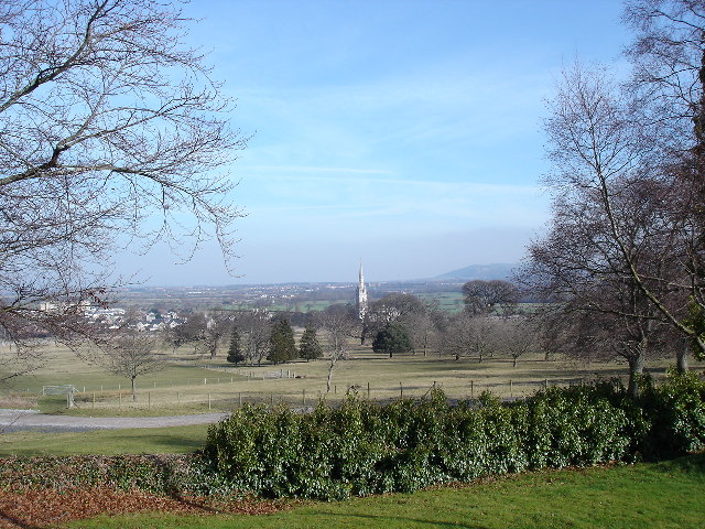
Marble Church, Bodelwyddan
St Margaret's Church, Bodelwyddan, nicknamed the Marble Church, is a Decorated Gothic Style parish church in the lower Vale of Clwyd in Denbighshire, Wales...
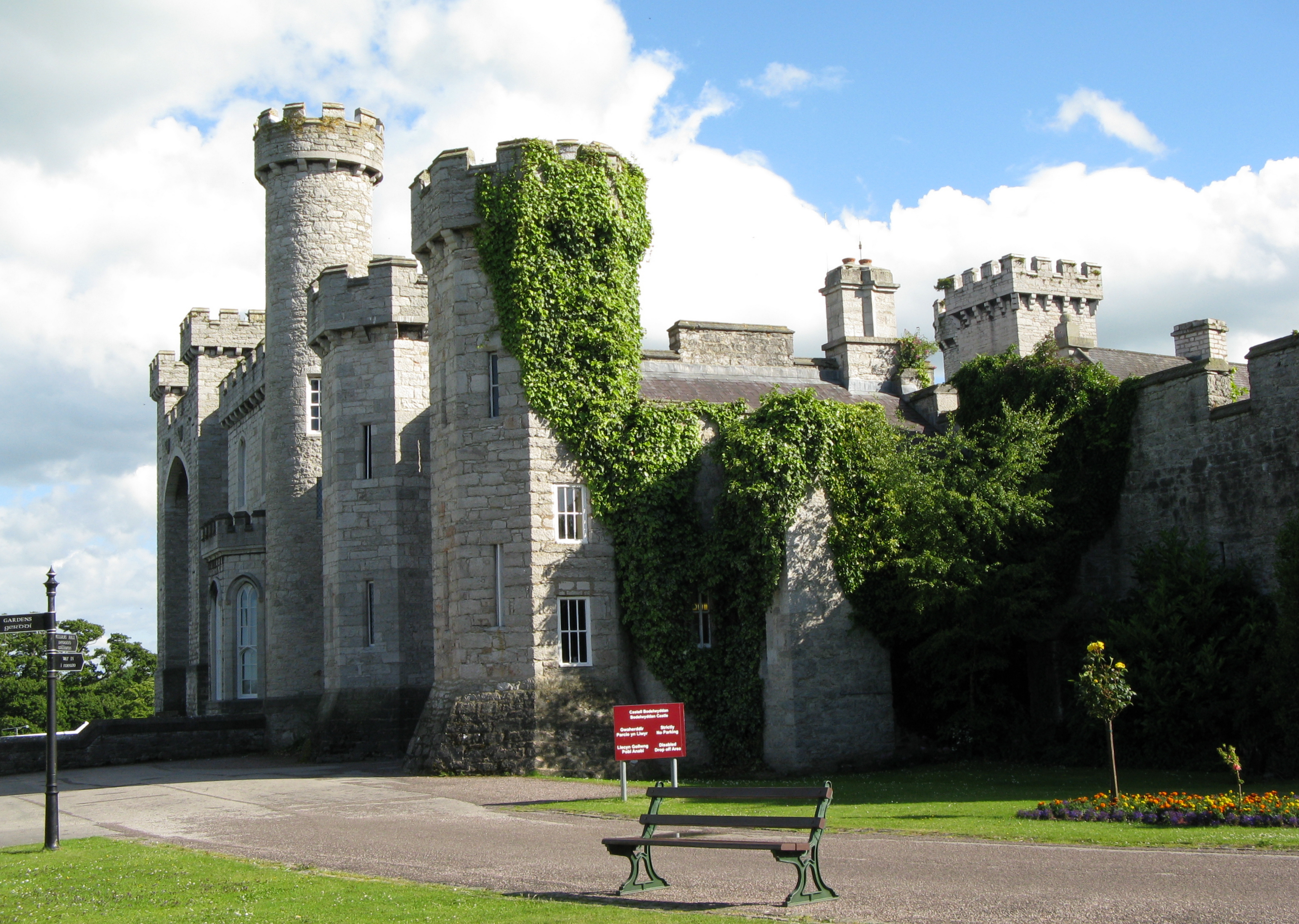
Bodelwyddan Castle
Bodelwyddan Castle (Welsh: Castell Bodelwyddan), close to the village of Bodelwyddan, near Rhyl, Denbighshire in Wales, was built around 1460 by the Humphreys...
Bodelwyddan
Bodelwyddan (Welsh pronunciation: [bɔdɛlˈwəðan]) is a village, electoral ward and community in Denbighshire, Wales, approximately 5 miles (8 km) South...
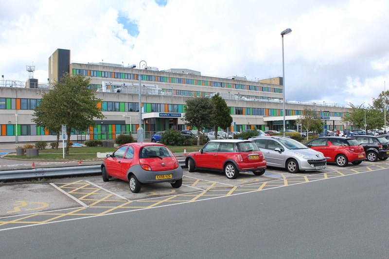
Glan Clwyd Hospital
Glan Clwyd Hospital (Welsh: Ysbyty Glan Clwyd) is a hospital in Bodelwyddan, Denbighshire, Wales. It is managed by the Betsi Cadwaladr University Health...
Related Videos
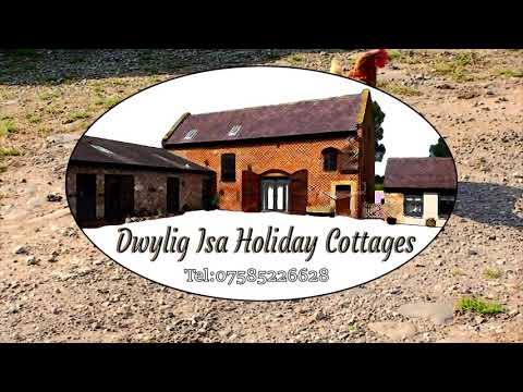
Dwylig Isa Holiday Cottages
Dwylig Isa Holiday Cottages Self contained holiday cottage in quiet countryside setting in between the quaint little village of ...
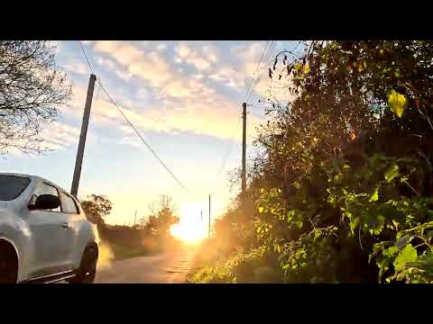
Walking boots on for GOLDEN Autumn WALK in STUNNING North Wales
Early morning walk from Rhuddlan to Dyserth in stunning Denbighshire #walking #denbighshire #earlymorning #rambling ...

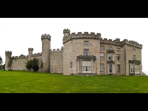
Bodelwyddan Castle Break April 2022
Hi Everybody In this video we take you on a tour round Bodelwyddan Castle where we stayed from 11th to 15th April this year.
Nearby Amenities
Located within 500m of 53.259808,-3.4790321Have you been to Coed Faenol-bropor?
Leave your review of Coed Faenol-bropor below (or comments, questions and feedback).