Coed Berth-ddu

Wood, Forest in Montgomeryshire

Wales

Coed Berth-ddu

A470 near Glanfeinion
A470 near Glanfeinion Credit: Colin Pyle

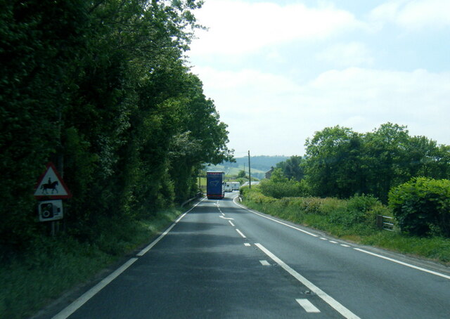
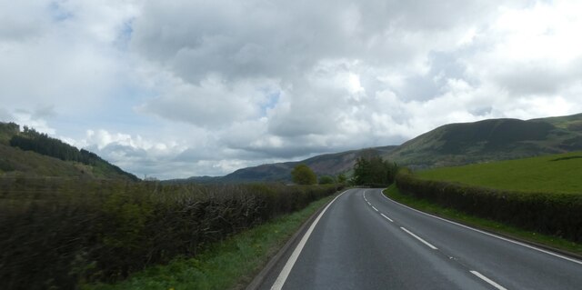
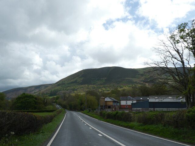
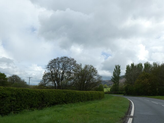
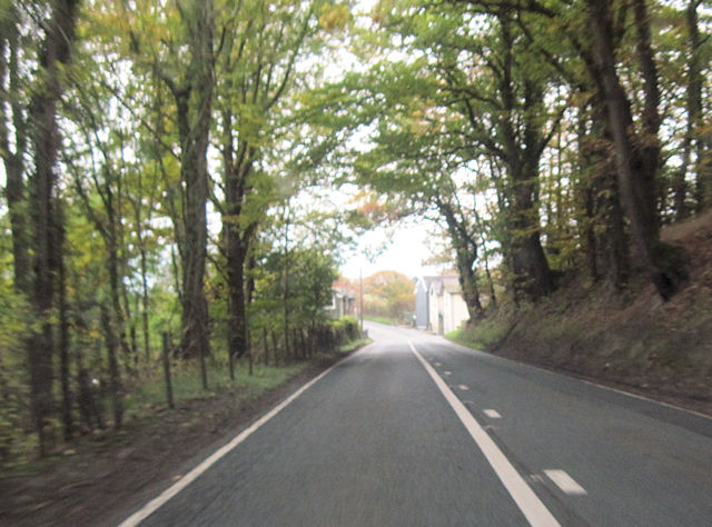
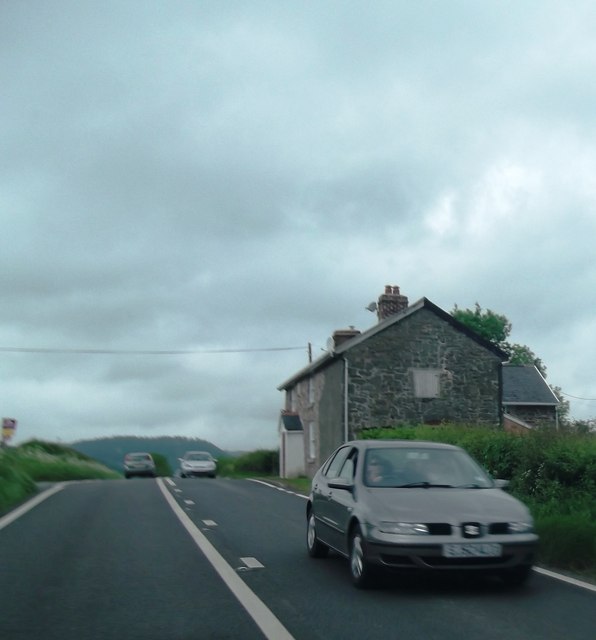
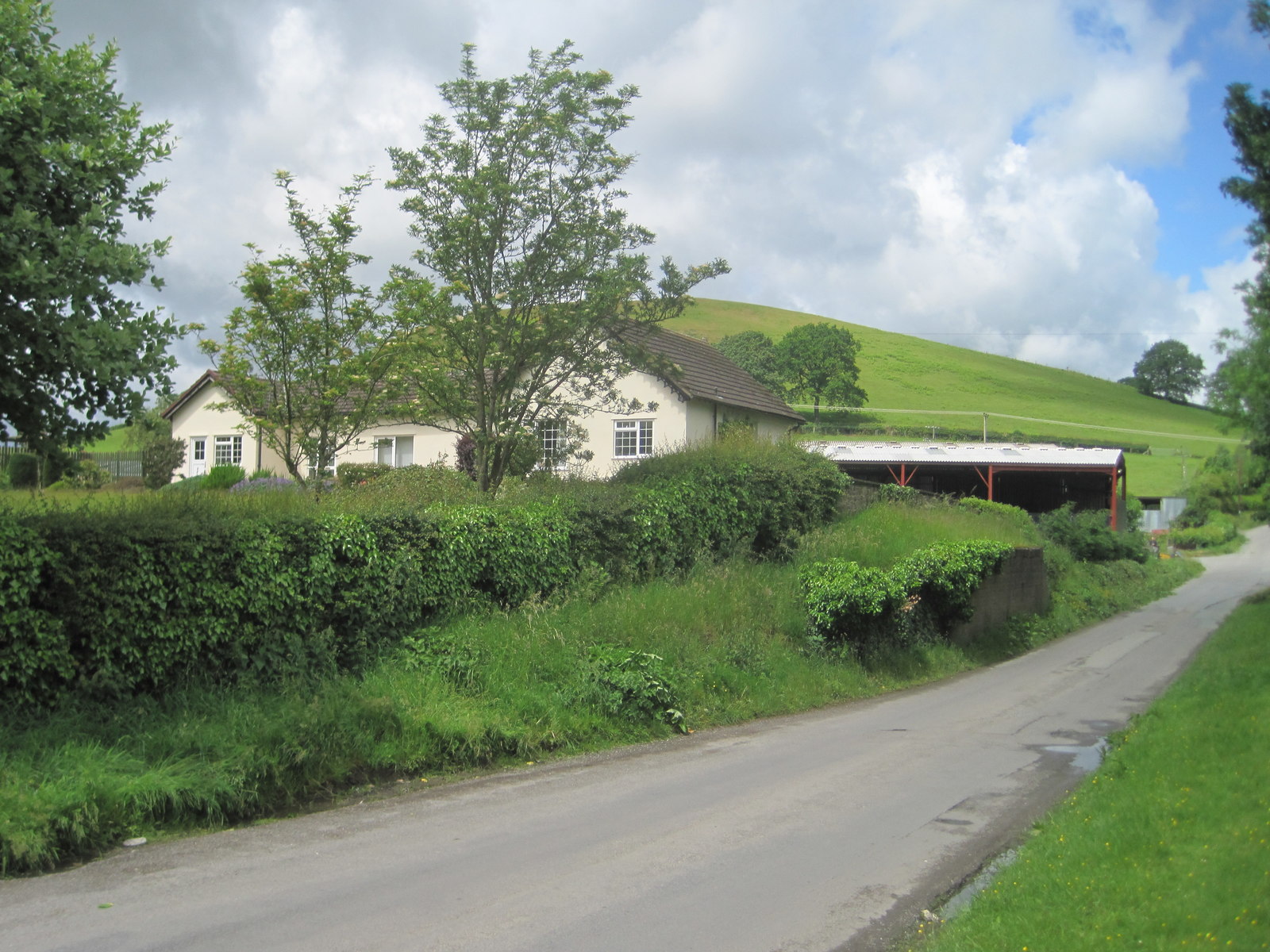
Coed Berth-ddu is a picturesque woodland area located in Montgomeryshire, Wales. Covering an area of approximately 200 acres, it is a haven for nature lovers and outdoor enthusiasts. The woodland is easily accessible, situated just a short distance from the small village of Berriew.

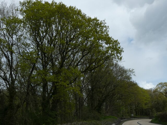
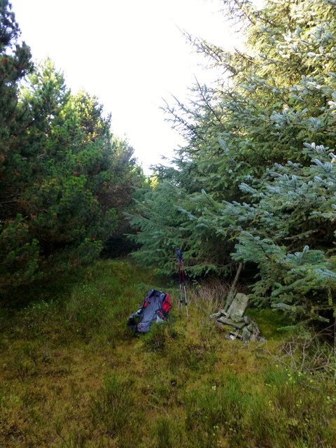
Coed Berth-ddu is characterized by its rich biodiversity and stunning natural beauty. The woodland is predominantly composed of native tree species such as oak, birch, and beech, creating a diverse and vibrant ecosystem. The forest floor is adorned with an array of wildflowers, adding a splash of color to the landscape during the spring and summer months.

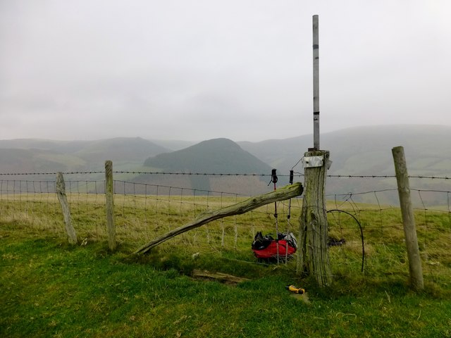
The woodland is crisscrossed by a network of walking trails, allowing visitors to explore its hidden corners and discover its natural wonders. These trails cater to all abilities, ranging from gentle strolls to more challenging hikes. Along the way, visitors may encounter a variety of wildlife, including deer, foxes, and a wide assortment of bird species.

Coed Berth-ddu also boasts a number of picnic areas and viewpoints, providing the perfect opportunity to relax and take in the breathtaking surroundings. The peaceful ambiance of the woodland makes it an ideal spot for nature photography and birdwatching.

In addition to its natural attractions, Coed Berth-ddu is also of historical significance. The woodland was once part of a larger estate and contains remnants of an ancient manor house. These historical features add an extra layer of interest for visitors seeking a deeper understanding of the area's past.

Overall, Coed Berth-ddu offers a tranquil retreat for those seeking to reconnect with nature and enjoy the beauty of Montgomeryshire's woodlands.

If you have any feedback on the listing, please let us know in the comments section below.

Coed Berth-ddu Images

Images are sourced within 2km of 52.457751/-3.452738 or Grid Reference SO0185. Thanks to Geograph Open Source API. All images are credited.

A470 near Glanfeinion
A470 west of Glanfeinion
A470 entering Glanfeinion from west
A470 approaching Pen-rhuddlan Bridge
Trees lining A470 north of Pen-rhuddlan Bridge
Pwllan Cottages on A470
Pwllan Cottages from A470 south
A470 approaching Glan-Feinion Southbound A470
A470 approaching Glan-Feinion
Southbound A470
A470 passed Upper Penrhuddlan Entrance to Upper Penrhuddlan to the right
A470 passed Upper Penrhuddlan
Entrance to Upper Penrhuddlan to the right
A470 past Neuadd Fach Looking towards Caersws
A470 past Neuadd Fach
Looking towards Caersws
A470 at Glanfeinon
A470 at Glanfeinon
Y Foel Parked easily to N. Followed track to ruined house. Then enter the forest. At point SO 01678 84331 a small path starts and goes all the way.

Name: Y Foel
Hill number: 5213
Height: 435m / 1427ft
Area: 31B: Welshpool to Hay-on-Wye
Class: Hu
Grid ref: SO 01868 84072
Summit feature: cairn with fence post
Drop: 116m
Col: 319m  SO022842
Y Foel
Parked easily to N. Followed track to ruined house. Then enter the forest. At point SO 01678 84331 a small path starts and goes all the way. Name: Y Foel Hill number: 5213 Height: 435m / 1427ft Area: 31B: Welshpool to Hay-on-Wye Class: Hu Grid ref: SO 01868 84072 Summit feature: cairn with fence post Drop: 116m Col: 319m SO022842
Coed y Gaer Coed y Gaer looking across to wooded summit of Y Foel. 

Name: Coed y Gaer
Hill number: 5223
Height: 362m / 1188ft
Area: 31B: Welshpool to Hay-on-Wye
Class: Hu
Grid ref: SO 00498 84396
Summit feature: ground beside fence
Drop: 120m
Col: 242m  SO005839
Coed y Gaer
Coed y Gaer looking across to wooded summit of Y Foel. Name: Coed y Gaer Hill number: 5223 Height: 362m / 1188ft Area: 31B: Welshpool to Hay-on-Wye Class: Hu Grid ref: SO 00498 84396 Summit feature: ground beside fence Drop: 120m Col: 242m SO005839
Rural lane in the rain At the end of my long walk the rain had come and I was completing my day in soggy conditions.
Rural lane in the rain
At the end of my long walk the rain had come and I was completing my day in soggy conditions.
Dolwen railway station (site), Powys Opened in 1859 on the Cambrian Railway's line from Newtown to Brecon, this station closed in 1962.
View north west at what is now a private residence. The platform was on this side of the former station building and the railway crossed the road just to the right of it.
Dolwen railway station (site), Powys
Opened in 1859 on the Cambrian Railway's line from Newtown to Brecon, this station closed in 1962. View north west at what is now a private residence. The platform was on this side of the former station building and the railway crossed the road just to the right of it.
Narrow grassy track leading up to Cefn farm
Another view of the small paddock adjacent to Cefn farm
Show me another place!

Coed Berth-ddu is located at Grid Ref: SO0185 (Lat: 52.457751, Lng: -3.452738)

Unitary Authority: Powys

Police Authority: Dyfed Powys

What 3 Words

///politics.peroxide.aimless. Near Llanidloes, Powys

Nearby Locations

Coed Pandy Coed Berth-ddu

Related Wikis

Dolwen railway station

Dolwen railway station was a station to the southwest of Llandinam, Powys, Wales. The station was opened in 1859 and closed in 1963. The station building...

Penystrywad

Penystrywad is a village near Llandinam in Powys, central Wales, between Newtown and Llanidloes, located on the A470.

Llandinam

Llandinam () is a village and community in Montgomeryshire, Powys, central Wales, between Newtown and Llanidloes, located on the A470. As a community,...

Llandinam railway station

Llandinam railway station was a station serving Llandinam, Powys, on the Llanidloes and Newtown Railway (L&NR) line. The L&NR was authorised in August...

Nearby Amenities

Located within 500m of 52.457751,-3.452738
Place: farm
Lat/Long: 52.4570139/-3.4563683
The data included in this document is from www.openstreetmap.org. The data is made available under ODbL.

Have you been to Coed Berth-ddu?

Leave your review of Coed Berth-ddu below (or comments, questions and feedback).