Butleigh Wootton
Settlement in Somerset Mendip
England
Butleigh Wootton

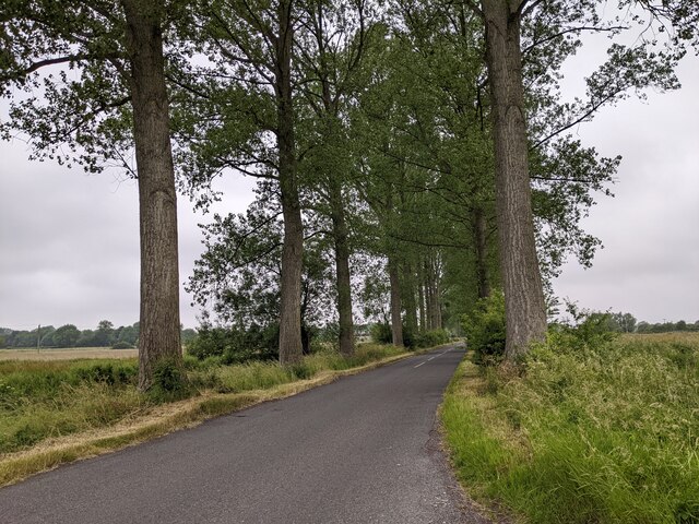
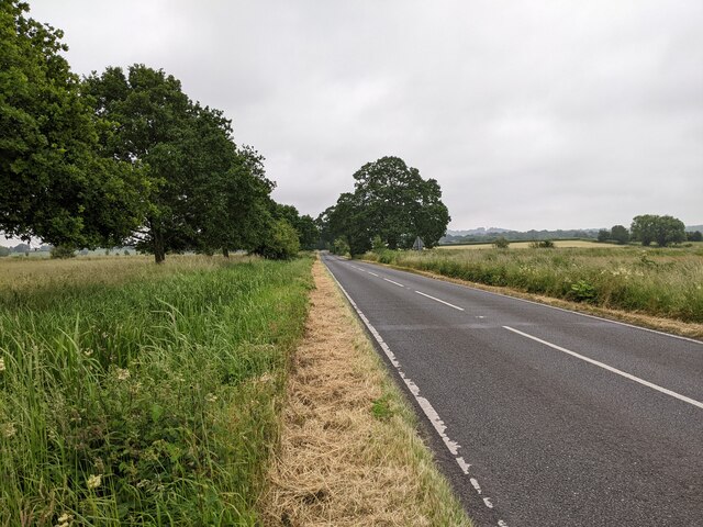
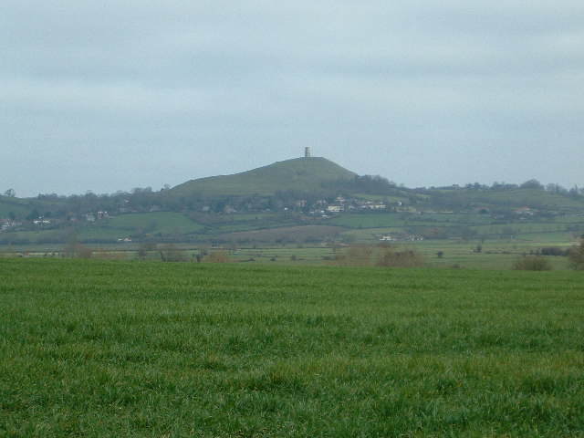
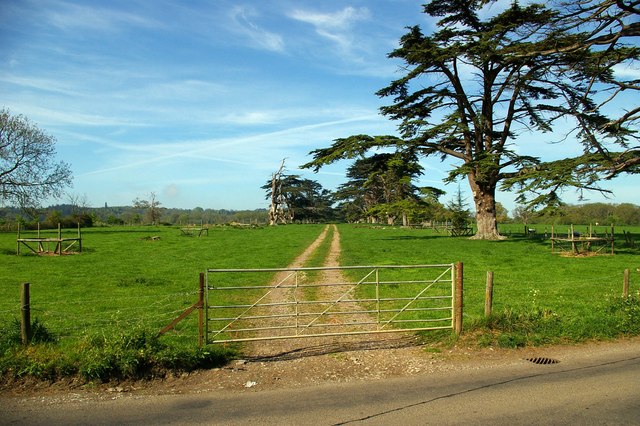
Butleigh Wootton is a small village located in the county of Somerset, England. Situated just 3 miles southwest of Glastonbury, it is nestled within the picturesque countryside of the Mendip Hills. The village is known for its quaint and charming atmosphere, with traditional architecture and a strong sense of community.
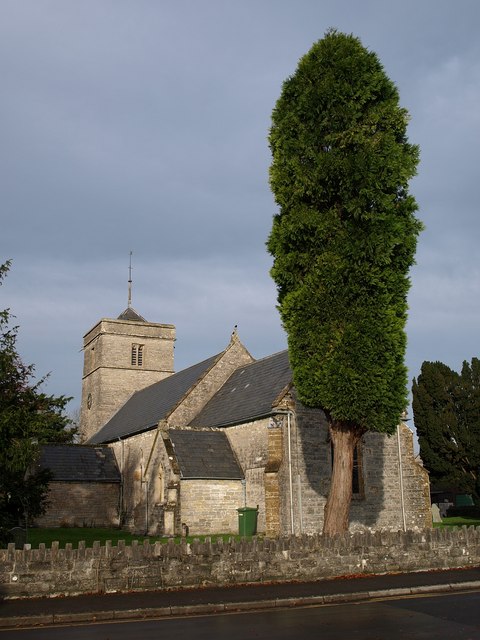
One of the standout features of Butleigh Wootton is its historic church, St. Leonard's, which dates back to the 13th century. The church is a popular attraction for visitors, offering a glimpse into the village's rich history. Surrounding the church, there are several beautiful cottages and houses, many of which have retained their original character.
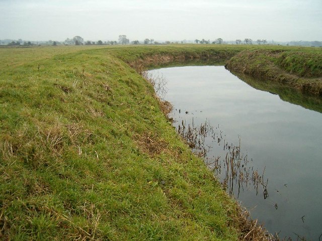
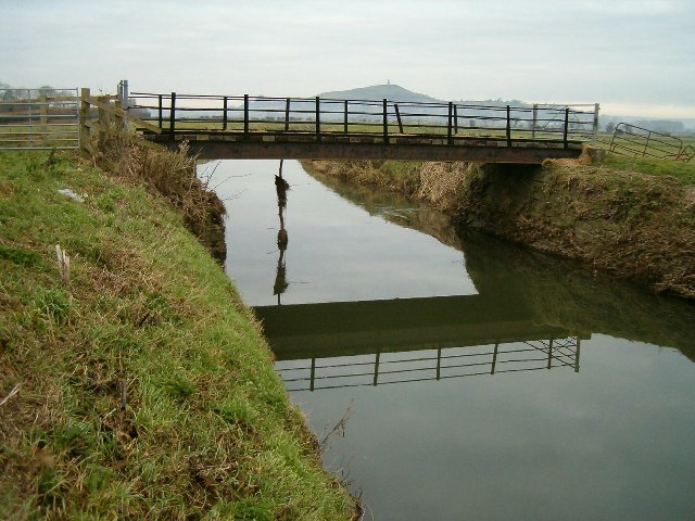
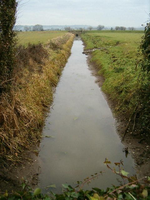
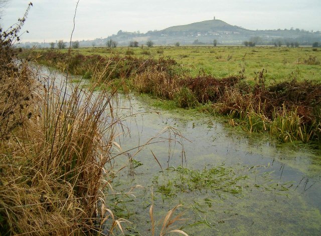
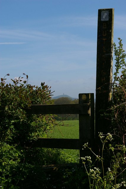
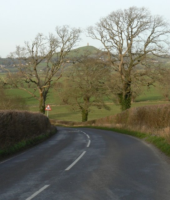
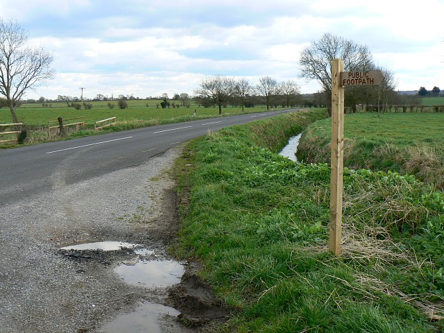
The countryside surrounding Butleigh Wootton provides ample opportunities for outdoor activities and exploration. The nearby Mendip Hills offer stunning views and walking trails for nature enthusiasts, while the Somerset Levels, a short drive away, provide a unique wetland environment with diverse wildlife.
In terms of amenities, the village boasts a community hall, a small primary school, and a local pub, which serves as a popular gathering spot for residents and visitors alike. However, for more extensive amenities, the nearby town of Glastonbury offers a wider range of shops, restaurants, and services.
Overall, Butleigh Wootton is a charming and idyllic village that offers a peaceful retreat for those seeking a slower pace of life. Its rich history, beautiful surroundings, and sense of community make it a truly special place to visit or call home.
If you have any feedback on the listing, please let us know in the comments section below.
Butleigh Wootton Images
Images are sourced within 2km of 51.115225/-2.710153 or Grid Reference ST5035. Thanks to Geograph Open Source API. All images are credited.


Butleigh Wootton is located at Grid Ref: ST5035 (Lat: 51.115225, Lng: -2.710153)
Administrative County: Somerset
District: Mendip
Police Authority: Avon and Somerset
What 3 Words
///slacker.incurring.headboard. Near Street, Somerset
Nearby Locations
Related Wikis

Millfield
Millfield is a public school (English fee-charging boarding and day school for pupils aged 13–18) located in Street, Somerset, England. It was founded...
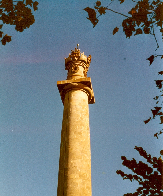
Admiral Hood Monument
The Admiral Hood Monument is a memorial column to Sir Samuel Hood on a hill near Butleigh in the parish of Compton Dundon, Somerset, England. It was completed...

New Ditch
New Ditch is a linear earthwork of possible Iron Age or Medieval construction. It partially crosses the Polden Hills in woodlands approximately 1.1 miles...

Battle of Marshall's Elm
The battle of Marshall's Elm was a skirmish that took place near Street, in the county of Somerset, South West England, on 4 August 1642. The engagement...
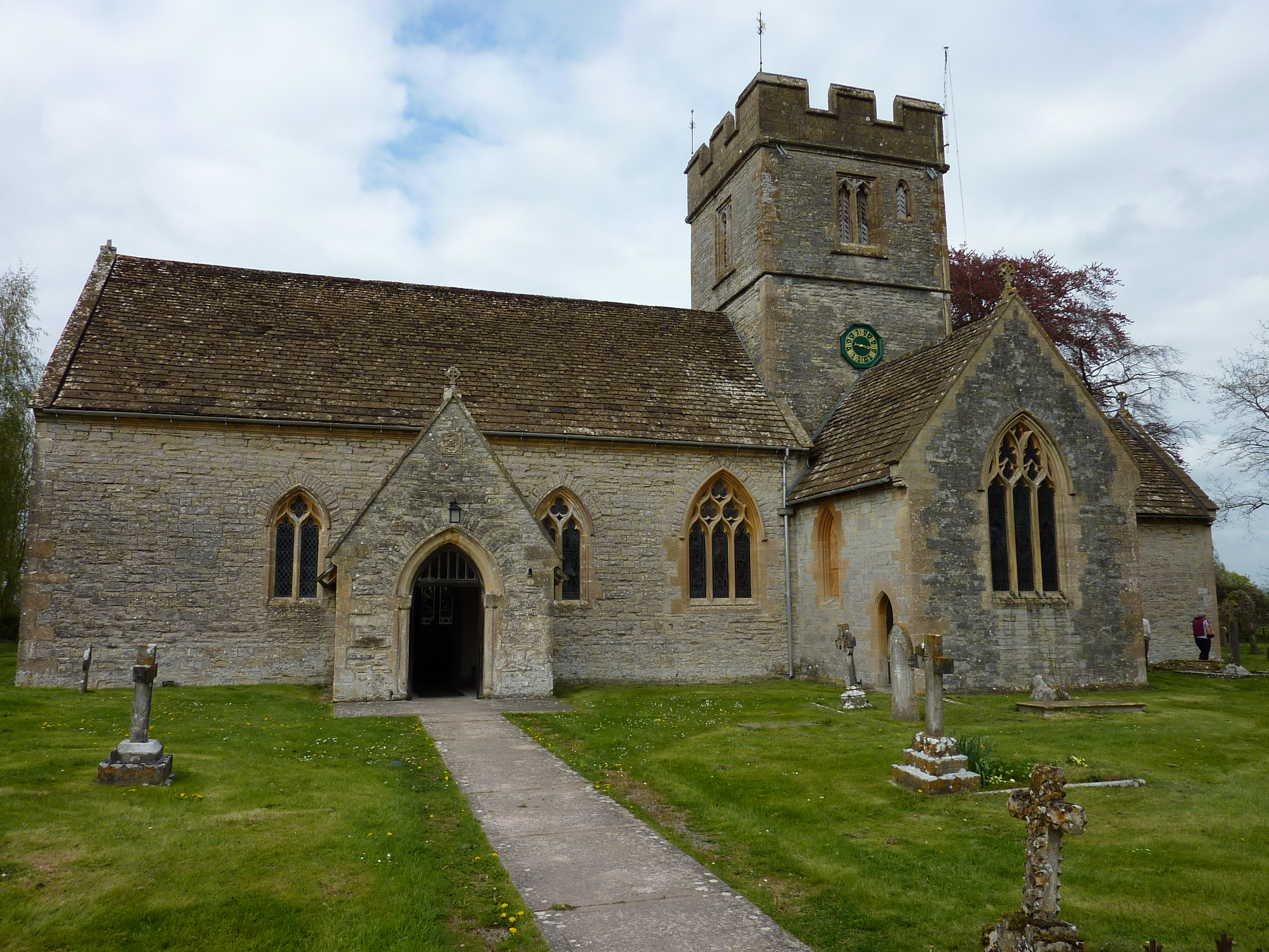
Church of St Leonard, Butleigh
The Anglican Church Of St Leonard in Butleigh, within the English county of Somerset, was built in the 14th century. It is a Grade II* listed building...
Street, Somerset
Street is a large village and civil parish in Somerset, England, with a population of 11,805 in 2011. On a dry spot in the Somerset Levels, at the end...

Crispin School
Crispin School Academy is a secondary school in Street, Somerset. The school is located to the eastern end of Street and shares a campus with Strode College...

Strode Theatre
Strode Theatre is a mixed arts venue in Street, Somerset, England. It has a 1960s two-tiered 343 seat purpose-built main theatre and a versatile modern...
Nearby Amenities
Located within 500m of 51.115225,-2.710153Have you been to Butleigh Wootton?
Leave your review of Butleigh Wootton below (or comments, questions and feedback).