Coed Henry
Wood, Forest in Denbighshire
Wales
Coed Henry

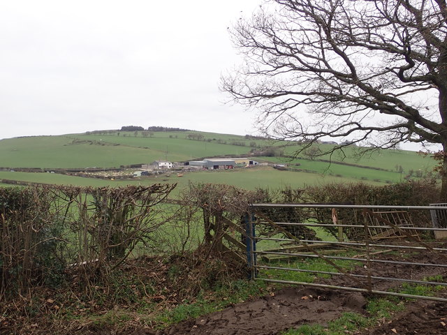
Coed Henry is a forest located in Denbighshire, Wales. This woodland area covers approximately 40 acres and is a popular destination for outdoor enthusiasts and nature lovers. The forest is home to a variety of tree species, including oak, beech, and pine, creating a diverse and picturesque landscape.
Coed Henry offers a network of walking trails and paths, making it an ideal location for hiking, nature walks, and birdwatching. Visitors can enjoy the peaceful surroundings and spot a variety of wildlife, including squirrels, birds, and deer.
The forest is well-maintained, with clear signage and designated parking areas for visitors. There are also picnic areas and benches scattered throughout the woodland, providing a perfect spot to relax and enjoy a meal surrounded by nature.
Overall, Coed Henry is a beautiful and tranquil forest that offers visitors the opportunity to escape the hustle and bustle of everyday life and immerse themselves in the natural beauty of Denbighshire.
If you have any feedback on the listing, please let us know in the comments section below.
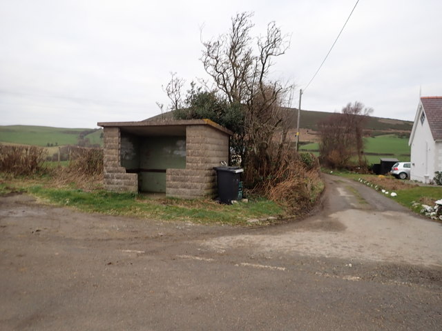
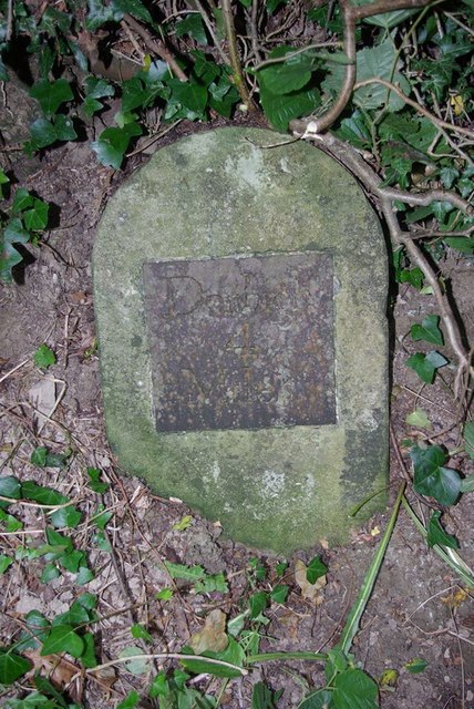
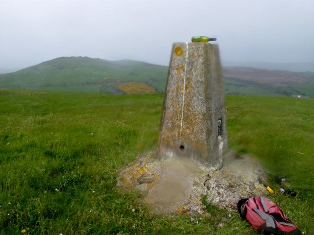
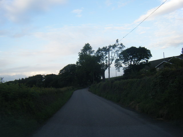
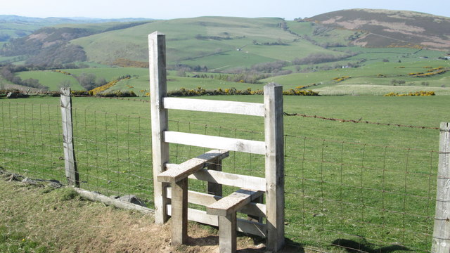
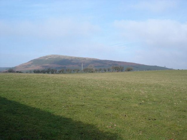
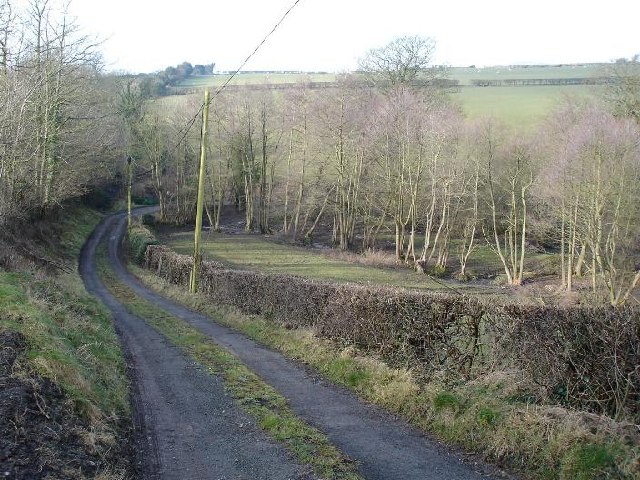
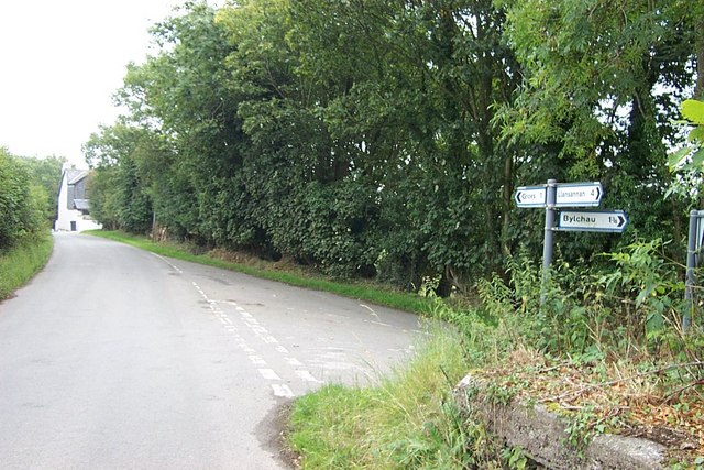
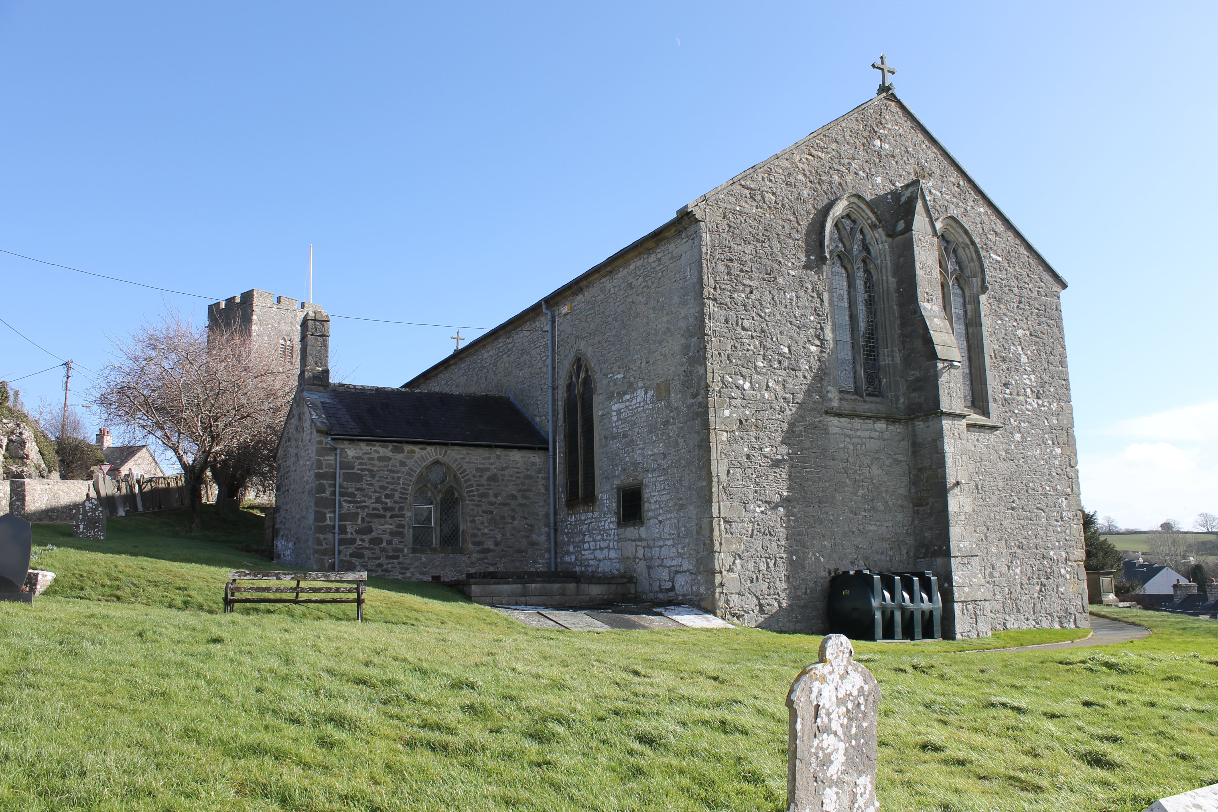
Coed Henry Images
Images are sourced within 2km of 53.186507/-3.5019507 or Grid Reference SH9966. Thanks to Geograph Open Source API. All images are credited.


Coed Henry is located at Grid Ref: SH9966 (Lat: 53.186507, Lng: -3.5019507)
Unitary Authority: Conwy
Police Authority: North Wales
What 3 Words
///neater.dunes.dynasties. Near Henllan, Denbighshire
Nearby Locations
Related Wikis

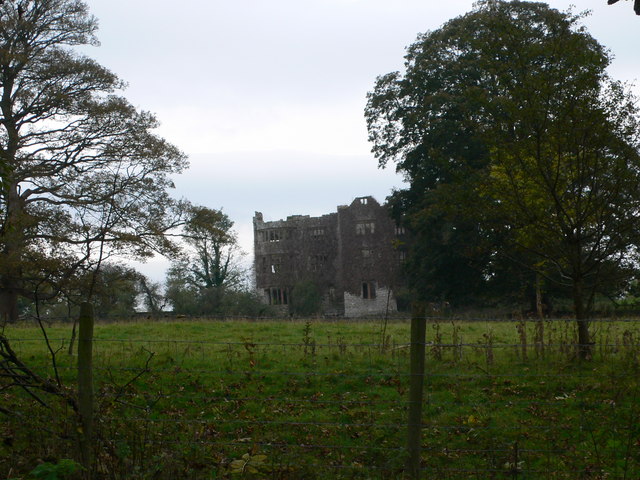
Eriviat Hall
Eriviat Hall is a historic country house set in a 9 acre estate in Henllan, Denbighshire which was the home of the ffoulkes family and their descendants...
Henllan
Henllan is a village and community in Denbighshire, Wales with a population of approximately 750 (OfNS/2004) and lies in the countryside, approximately...
Foxhall Newydd
Foxhall Newydd is a Grade I listed country house, roughly 1 kilometre (0.62 mi) to the southeast of Henllan, Denbighshire, north Wales. The house, planned...

Gwaenynog
Gwaenynog is a small estate about 1 km (0.62 mi) to the south-west of the town of Denbigh, Wales. Its origins are mediaeval when it was built as a house...
Have you been to Coed Henry?
Leave your review of Coed Henry below (or comments, questions and feedback).