The Plantation
Wood, Forest in Flintshire
Wales
The Plantation
The Plantation is a picturesque woodland located in Flintshire, Wales. Spanning over a vast area, it is renowned for its natural beauty and diverse range of flora and fauna. The woodland is predominantly composed of deciduous and coniferous trees, creating a captivating blend of colors throughout the year.
The Plantation offers a tranquil escape from the bustling city life, providing a peaceful environment for visitors to unwind and connect with nature. Walking trails meander through the forest, allowing visitors to explore the various ecosystems within the woodland. Along the trails, one can discover a plethora of plant species, including oak, beech, pine, and silver birch, among others.
The woodland is also home to a rich variety of wildlife. Bird enthusiasts can spot a range of species, such as woodpeckers, jays, and owls. Small mammals, like rabbits and squirrels, can often be seen scurrying through the undergrowth. The Plantation provides an ideal habitat for these animals due to its dense vegetation and ample food sources.
In addition to its natural beauty, The Plantation offers recreational opportunities for visitors. Picnic areas are scattered throughout the woodland, providing a perfect spot for families and friends to enjoy a leisurely meal surrounded by nature. The woodland also features designated areas for camping and barbecues, allowing visitors to fully immerse themselves in the serene environment.
Overall, The Plantation is a haven for nature lovers and outdoor enthusiasts alike. With its breathtaking scenery, diverse ecosystem, and recreational facilities, it offers a truly memorable experience for anyone seeking solace in the beauty of nature.
If you have any feedback on the listing, please let us know in the comments section below.
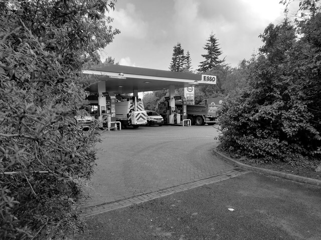
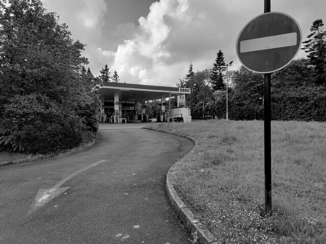
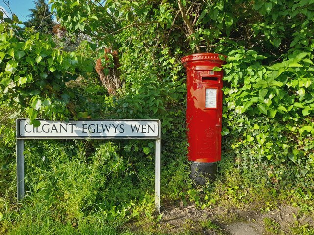
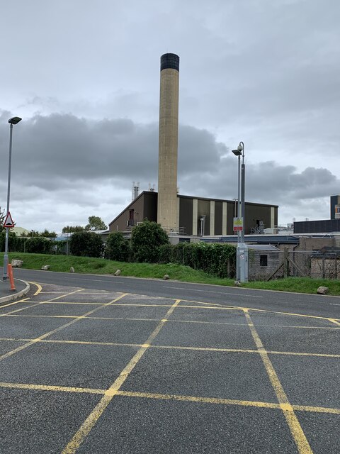
The Plantation Images
Images are sourced within 2km of 53.25622/-3.5050221 or Grid Reference SH9974. Thanks to Geograph Open Source API. All images are credited.


The Plantation is located at Grid Ref: SH9974 (Lat: 53.25622, Lng: -3.5050221)
Unitary Authority: Denbighshire
Police Authority: North Wales
What 3 Words
///insect.merge.sometime. Near Bodelwyddan, Denbighshire
Nearby Locations
Related Wikis
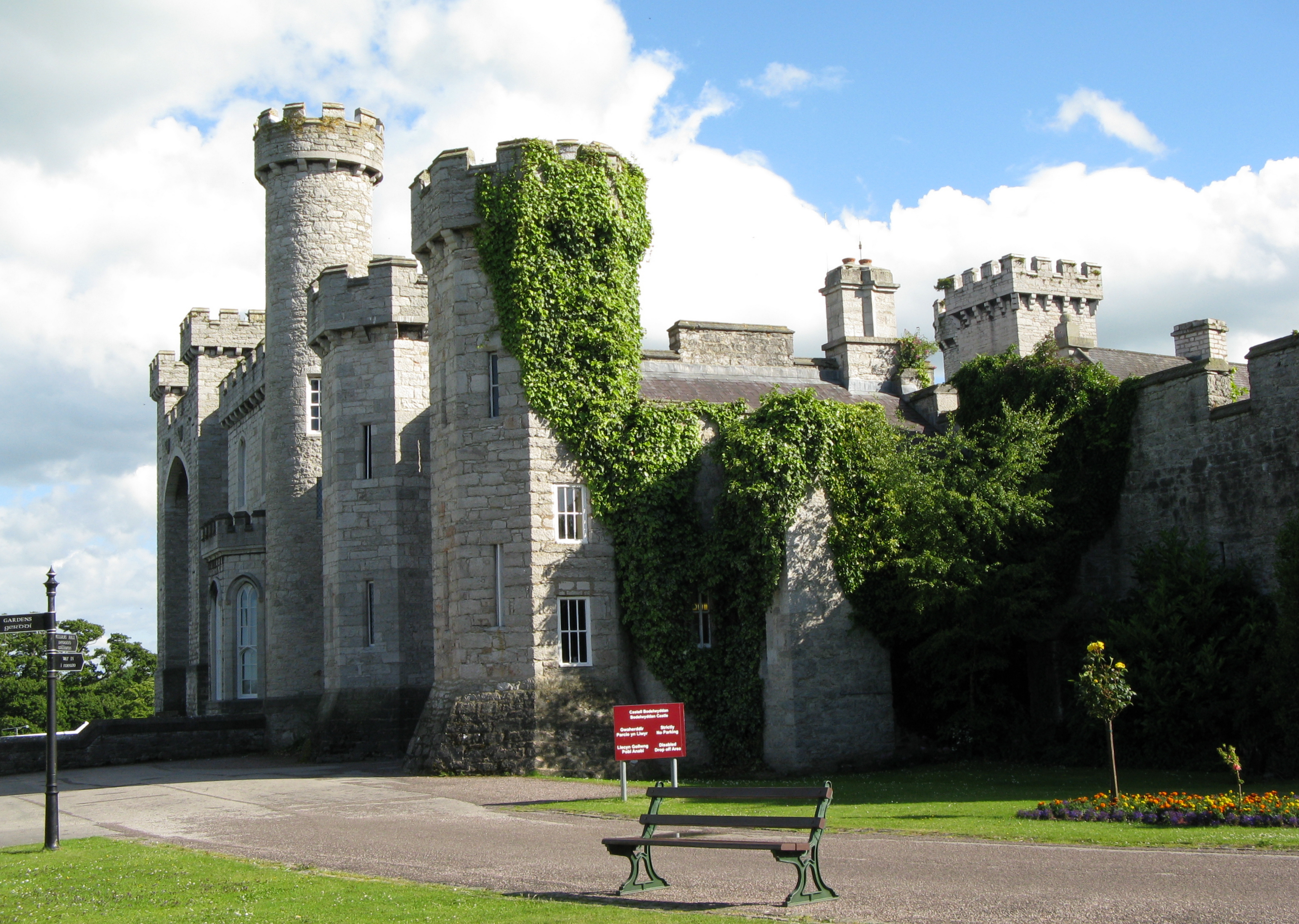
Bodelwyddan Castle
Bodelwyddan Castle (Welsh: Castell Bodelwyddan), close to the village of Bodelwyddan, near Rhyl, Denbighshire in Wales, was built around 1460 by the Humphreys...

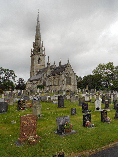
Marble Church, Bodelwyddan
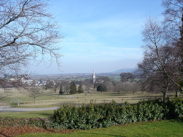
St Margaret's Church, Bodelwyddan, nicknamed the Marble Church, is a Decorated Gothic Style parish church in the lower Vale of Clwyd in Denbighshire, Wales...
Bodelwyddan
Bodelwyddan (Welsh pronunciation: [bɔdɛlˈwəðan]) is a village, electoral ward and community in Denbighshire, Wales, approximately 5 miles (8 km) South...
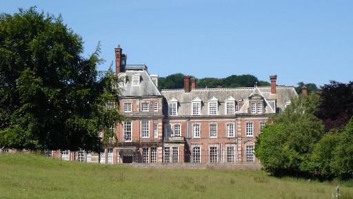
Kinmel Hall
Kinmel Hall is a large country mansion within Kimnel Park near the village of St. George, close to the coastal town of Abergele, in Conwy county borough...
Nearby Amenities
Located within 500m of 53.25622,-3.5050221Have you been to The Plantation?
Leave your review of The Plantation below (or comments, questions and feedback).