Hafod Wood

Wood, Forest in Denbighshire

Wales

Hafod Wood
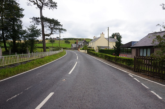
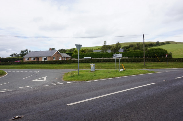
A543 at Bylchau
A543 at Bylchau Credit: Ian S

The requested URL returned error: 429 Too Many Requests

If you have any feedback on the listing, please let us know in the comments section below.

Hafod Wood Images

Images are sourced within 2km of 53.144709/-3.5193309 or Grid Reference SH9861. Thanks to Geograph Open Source API. All images are credited.

A543 at Bylchau
A543 at Bylchau
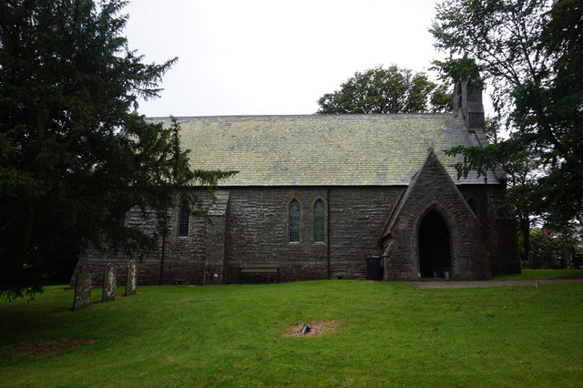
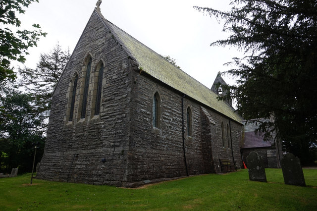
St Thomas's Church, Bylchau
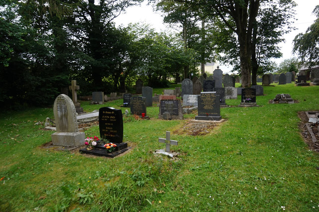
St Thomas's Church Graveyard, Bylchau
A544 at  Bylchau
A544 at Bylchau
Derelict Water Treatment Works Above Ffridd Fawr
Church House, Nantglyn
St James' Church, Nantglyn
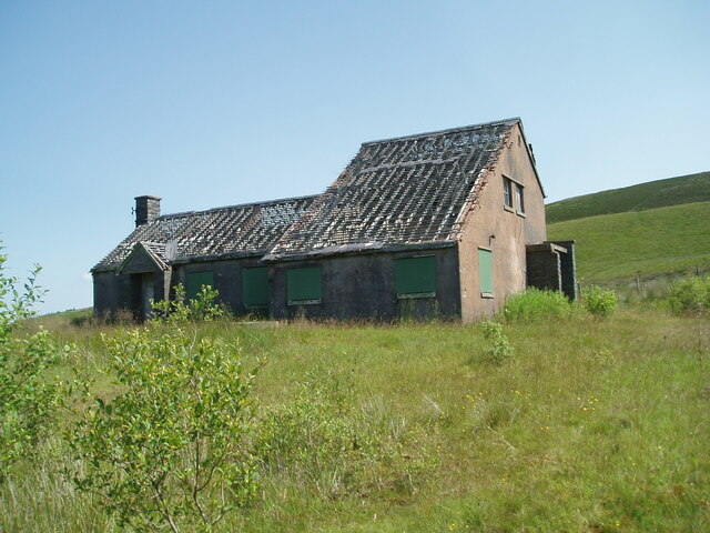
Home from Home Derelict property alongside A543 leading into Denbigh.
Home from Home
Derelict property alongside A543 leading into Denbigh.
Moors of Denbigh The view beside the A543 opposite the derelict water works building, near Denbigh.
Moors of Denbigh
The view beside the A543 opposite the derelict water works building, near Denbigh.
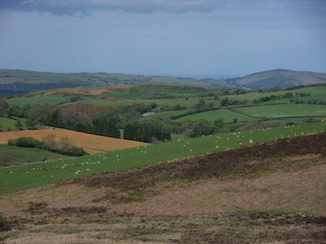
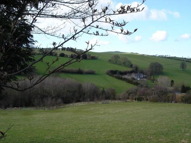
Rolling countryside near Bylchau Farmland near to Bylchau to the east of the A543
Rolling countryside near Bylchau
Farmland near to Bylchau to the east of the A543
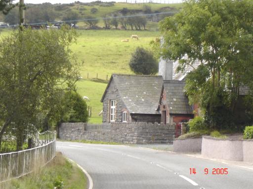
Bylchau village The main road through the village with stone cottage on the corner
Bylchau village
The main road through the village with stone cottage on the corner
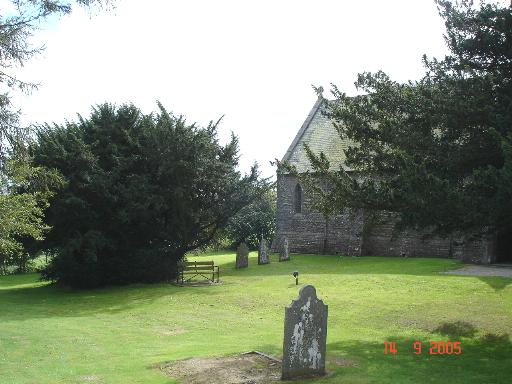
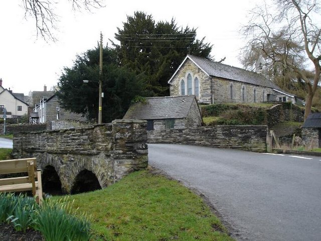
Churchyard at Bylchau Village church and churchyard in the hamlet of Bylchau near to Denbigh
Churchyard at Bylchau
Village church and churchyard in the hamlet of Bylchau near to Denbigh
Logging at Rhiwiau Not a vast amount of timber on this hill, but logging is currently going on at various points along this road.
Logging at Rhiwiau
Not a vast amount of timber on this hill, but logging is currently going on at various points along this road.
Derelict building near Bylchau Standing near the Denbigh moors the building has stood derelict for many years
Derelict building near Bylchau
Standing near the Denbigh moors the building has stood derelict for many years
Bylchau Farmland to the northeast of Bylchau.
Bylchau
Farmland to the northeast of Bylchau.
Chapel at Waen, near Nantglyn Calvinist chapel, built 1811, at the side of the road going from Nantglyn to Bylchau.
Chapel at Waen, near Nantglyn
Calvinist chapel, built 1811, at the side of the road going from Nantglyn to Bylchau.
Steep hill A very steep hill to the west of Nantglyn (1 in 4).
Steep hill
A very steep hill to the west of Nantglyn (1 in 4).
Show me another place!

Hafod Wood is located at Grid Ref: SH9861 (Lat: 53.144709, Lng: -3.5193309)

Unitary Authority: Conwy

Police Authority: North Wales

What 3 Words

///beards.enrolling.endearing. Near Henllan, Denbighshire

Nearby Locations

Hafod Wood

Related Wikis

Bylchau

Bylchau () is a hamlet in Conwy County Borough, Wales. It is located at the junction of the A544 with the A543, some 5 miles to the south-west of Denbigh...

Nantglyn

Nantglyn is a small village and community in Denbighshire, Wales. The population of the community taken at the 2011 census was 323. It is situated in a...

Cader

Cader is a village in Denbighshire, Wales.

Clwyd West (UK Parliament constituency)

Clwyd West (Welsh: Gorllewin Clwyd) is a constituency of the House of Commons of the Parliament of the United Kingdom (at Westminster). It elects one Member...

Nearby Amenities

Located within 500m of 53.144709,-3.5193309
Place: farm
Lat/Long: 53.1447365/-3.5235434
Power: pole
Lat/Long: 53.145858/-3.5243095
Power: pole
Lat/Long: 53.1456071/-3.5228852
Power: pole
Lat/Long: 53.1455266/-3.5233037
Power: pole
Lat/Long: 53.145714/-3.5223528
Power: pole
Lat/Long: 53.1472783/-3.5238076
The data included in this document is from www.openstreetmap.org. The data is made available under ODbL.

Have you been to Hafod Wood?

Leave your review of Hafod Wood below (or comments, questions and feedback).