Ashfield Wood
Wood, Forest in Radnorshire
Wales
Ashfield Wood

Ashfield Wood, located in the county of Radnorshire, is a picturesque forest known for its stunning natural beauty and rich biodiversity. Spanning over a vast area, this wood is a haven for nature enthusiasts and provides a serene escape from the bustling city life.
The wood is predominantly made up of deciduous trees, such as oak, beech, and ash, which create a vibrant and diverse ecosystem. The dense canopy provides shelter for a wide range of wildlife, including various bird species, mammals, and insects. It is not uncommon to spot red squirrels darting between the trees or catch a glimpse of a deer grazing in the undergrowth.
The forest floor is covered in a thick carpet of moss, ferns, and wildflowers, creating a magical and enchanting atmosphere. Walking through Ashfield Wood, visitors can enjoy the tranquility and immerse themselves in the sights and sounds of nature.
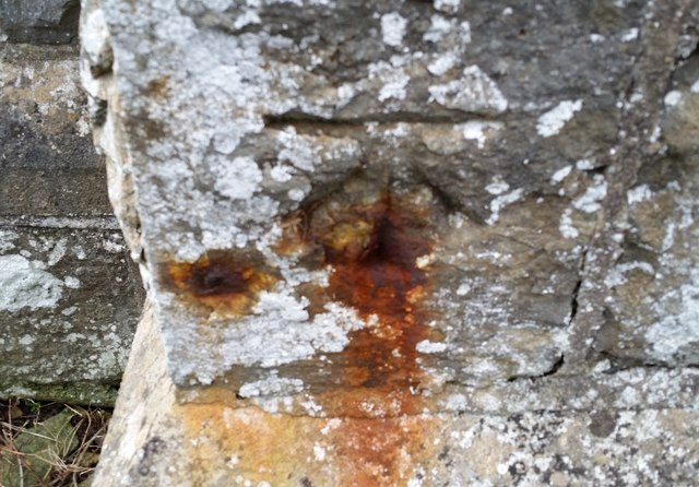
In addition to its natural beauty, Ashfield Wood also holds historical significance. The wood has been a part of the local landscape for centuries, and remnants of ancient settlements and structures can still be found within its depths. These archaeological sites provide a glimpse into the area's rich cultural heritage.
Ashfield Wood is a popular destination for hikers, nature lovers, and photographers who are drawn to its breathtaking scenery. Whether it's exploring the winding trails, observing wildlife, or simply enjoying a peaceful picnic surrounded by nature, this wood offers a truly unforgettable experience for all who visit.
If you have any feedback on the listing, please let us know in the comments section below.
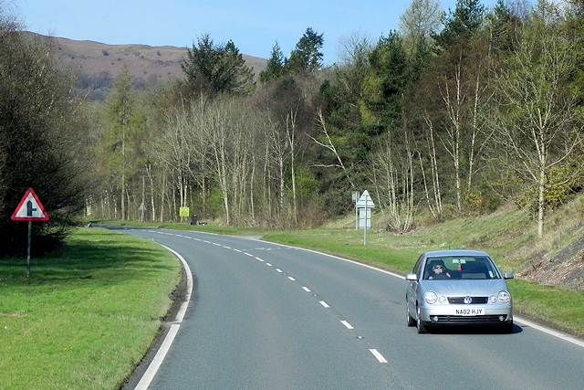
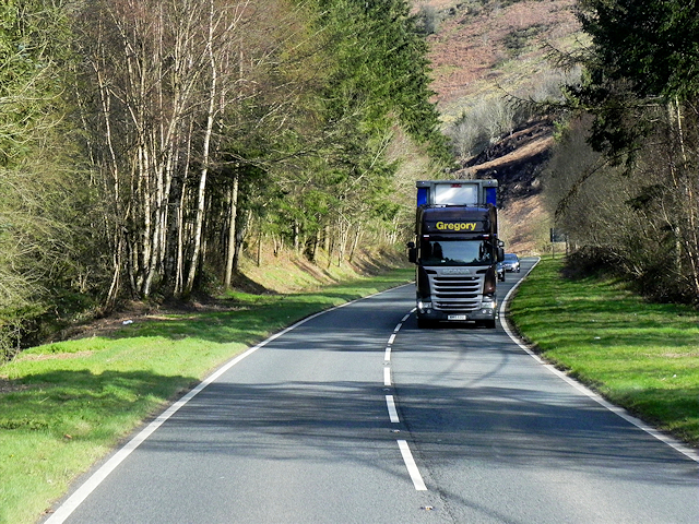
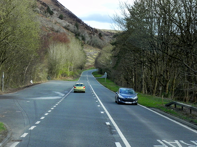
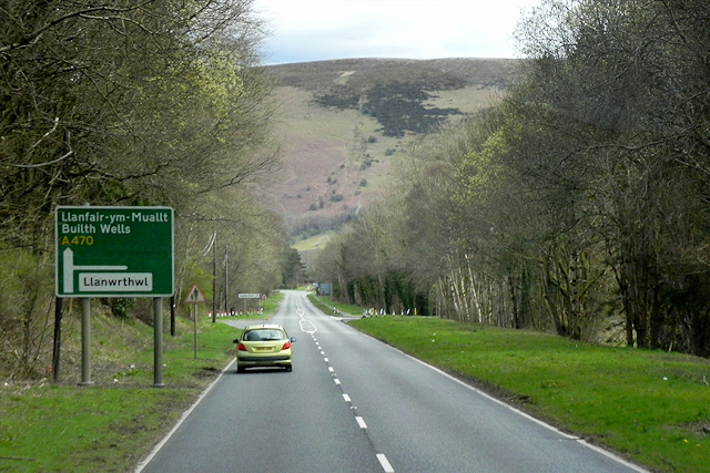
Ashfield Wood Images
Images are sourced within 2km of 52.265529/-3.4999474 or Grid Reference SN9764. Thanks to Geograph Open Source API. All images are credited.


Ashfield Wood is located at Grid Ref: SN9764 (Lat: 52.265529, Lng: -3.4999474)
Unitary Authority: Powys
Police Authority: Dyfed Powys
What 3 Words
///useful.gilding.wiping. Near Rhayader, Powys
Nearby Locations
Related Wikis

Llanwrthwl
Llanwrthwl is a village and community in Powys, mid Wales, and the historic county of Brecknockshire. Llanwrthwl lies off the A470 road, north by road...

Doldowlod railway station
Doldowlod railway station stood on the Mid Wales Railway between Builth Wells and Rhayader. It was closed on 31 December 1962 and the track removed....
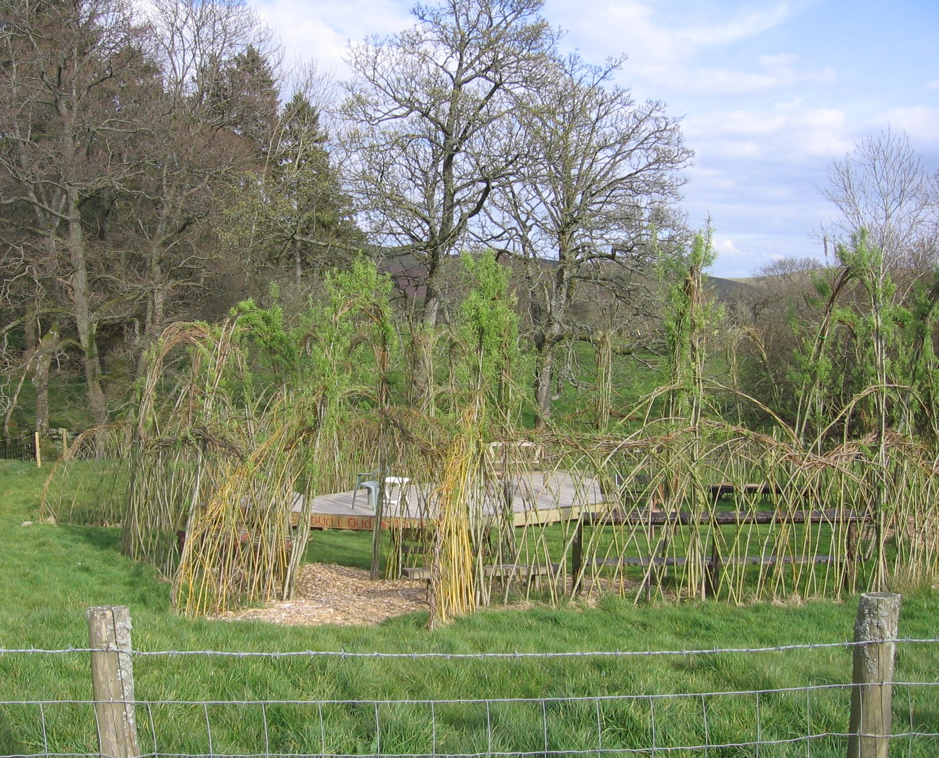
Willow Globe Theatre
The Willow Globe Theatre (Welsh: Glôb Byw, formerly known as the Living Willow Theatre) is an open air community theatre in Powys, Wales.It is a scaled...

Nant Glas
Nant Glas (or Nant-glas) is a village in the Elan Valley near Rhayader and Llandrindod Wells in Powys, Wales. It is on a side road between the A44 to the...
Nearby Amenities
Located within 500m of 52.265529,-3.4999474Have you been to Ashfield Wood?
Leave your review of Ashfield Wood below (or comments, questions and feedback).