Bushley
Settlement in Worcestershire Malvern Hills
England
Bushley

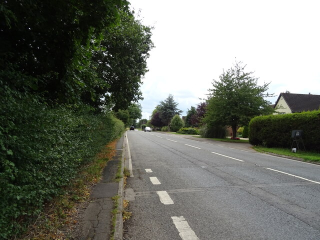
Bushley is a charming village located in the county of Worcestershire, England. Situated on the banks of the River Severn, it lies approximately 4 miles southeast of the historic city of Worcester. With a population of around 600 residents, Bushley is known for its picturesque countryside, scenic views, and rich history.
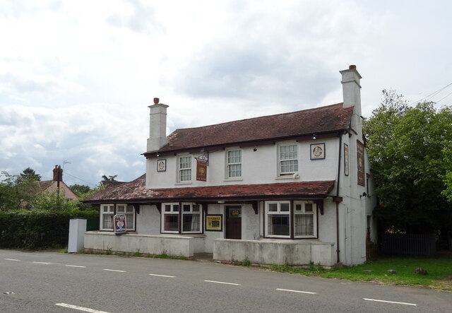
The village is characterized by a mix of traditional cottages and newer houses, giving it a unique blend of old-world charm and modern convenience. The surrounding landscape is dominated by lush green fields, rolling hills, and the tranquil waters of the River Severn, creating a peaceful and idyllic setting.
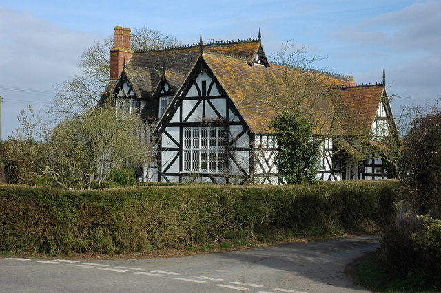
Bushley is home to the St. Peter's Church, a beautiful medieval structure that dates back to the 13th century. The church's architecture and historical significance make it a popular attraction for visitors and locals alike. Additionally, the village boasts a well-regarded primary school, providing educational opportunities for the younger residents.
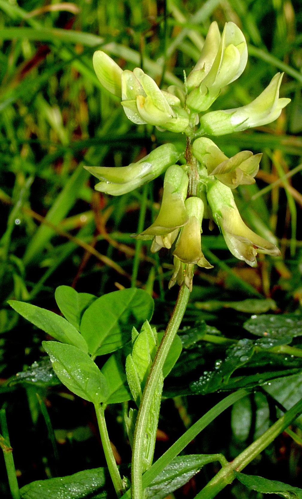
Nature enthusiasts are drawn to Bushley for its proximity to the Worcestershire Wildlife Trust's Lower Smite Farm, a nature reserve that offers stunning walking trails and an abundance of wildlife. The reserve is perfect for birdwatching, with various species of birds thriving in the area.
Despite its rural setting, Bushley benefits from its close proximity to Worcester, where residents have access to a wider range of amenities, including shopping centers, restaurants, and cultural attractions. The village also enjoys excellent transport links, with easy access to major roads like the M5 motorway.
Overall, Bushley is a delightful village that offers a peaceful and picturesque lifestyle, making it an attractive place to live or visit for those seeking a slice of rural English charm.
If you have any feedback on the listing, please let us know in the comments section below.
Bushley Images
Images are sourced within 2km of 52.007834/-2.183377 or Grid Reference SO8734. Thanks to Geograph Open Source API. All images are credited.


Bushley is located at Grid Ref: SO8734 (Lat: 52.007834, Lng: -2.183377)
Administrative County: Worcestershire
District: Malvern Hills
Police Authority: West Mercia
What 3 Words
///relating.concluded.outright. Near Tewkesbury, Gloucestershire
Nearby Locations
Related Wikis
Bushley
Bushley is a small village and civil parish in the Malvern Hills district in Worcestershire, England. The church is dedicated to Saint Peter. At the 2021...
Mythe Railway Nature Reserve
Mythe Railway Nature Reserve (grid reference SO887341) is a 2.8-hectare (6.9-acre) nature reserve in Gloucestershire. The site is listed in the ‘Tewkesbury...

Old River Severn, Upper Lode
Old River Severn, Upper Lode (grid reference SO880331) is a 3.72-hectare (9.2-acre) biological Site of Special Scientific Interest in Gloucestershire,...

Borough of Tewkesbury
The Borough of Tewkesbury is a local government district with borough status in Gloucestershire, England. The borough is named after its largest town,...
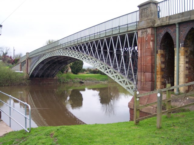
Mythe Bridge
Mythe Bridge carries the A438 road across the River Severn at Tewkesbury. It is a cast-iron arch bridge spanning 170 feet (52 m) and 24 feet (7.3 m) wide...
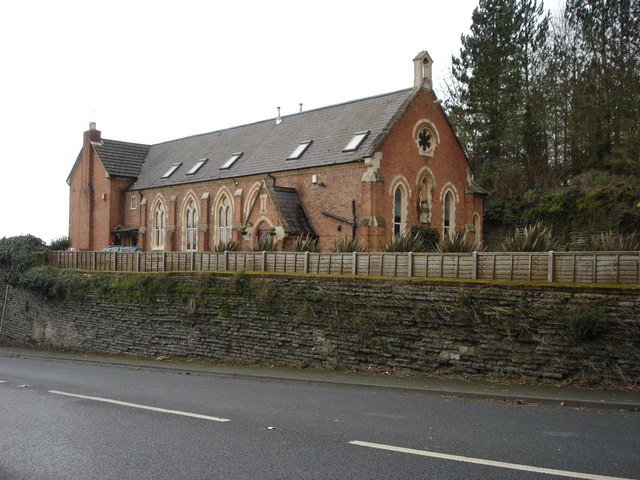
Mythe Chapel
The Mythe Chapel is located at Tewkesbury on the Mythe (off the A38 overlooking Mythe Bridge, between Severn Trent Water and the Tewkesbury Garden Centre...
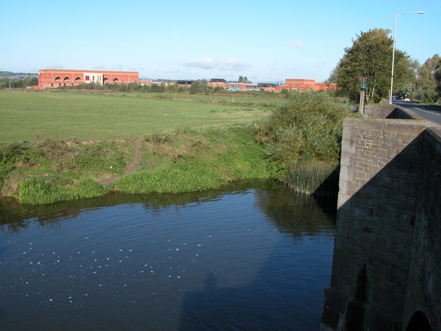
Mythe Water Treatment Works
The Mythe Water Treatment Works in Tewkesbury, Gloucestershire, England, is a facility that treats water drawn from the River Severn. On 1 March 2002,...

The Mythe
The Mythe is a house built on the top of a hill overlooking the town of Tewkesbury, England. There has been a house on the site for nearly a thousand years...
Nearby Amenities
Located within 500m of 52.007834,-2.183377Have you been to Bushley?
Leave your review of Bushley below (or comments, questions and feedback).