Bushey Ground

Settlement in Oxfordshire West Oxfordshire

England

Bushey Ground

A40 nearing Brize Norton Road overbridge
A40 nearing Brize Norton Road overbridge Credit: Colin Pyle

Bushey Ground is a small village located in the county of Oxfordshire, England. Situated on the edge of the picturesque Cotswolds, it is surrounded by rolling hills and lush green countryside. The village is located approximately 12 miles northwest of Oxford and has a population of around 500 residents.

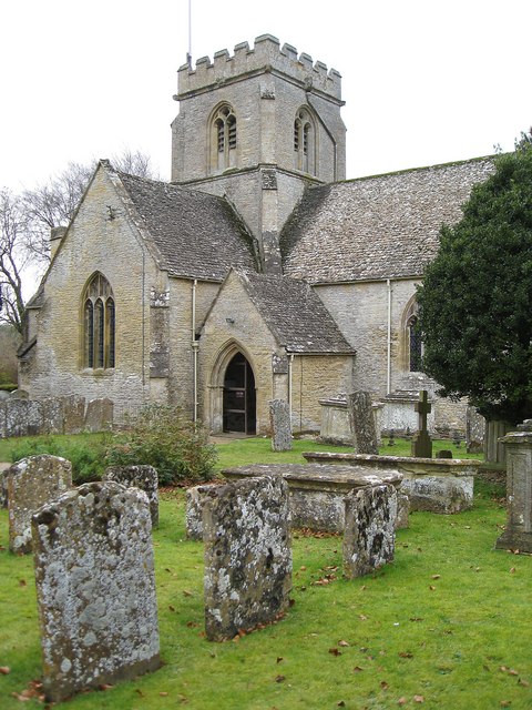
The origins of Bushey Ground can be traced back to medieval times, and its charming architecture reflects its rich history. The village is characterized by its traditional stone cottages, thatched roofs, and quaint gardens, creating a picturesque and idyllic setting.

Despite its small size, Bushey Ground offers a range of amenities to its residents. The village has a local pub, providing a friendly social hub for the community. It also has a village hall, which hosts various events and gatherings throughout the year, fostering a strong sense of community spirit.

Surrounded by beautiful countryside, Bushey Ground offers numerous opportunities for outdoor activities. The village is well-connected to a network of walking and cycling trails, allowing residents to explore the stunning landscape at their leisure.

In terms of education, Bushey Ground has a primary school, ensuring that children in the village have access to quality education within a close-knit community.

Overall, Bushey Ground is a charming and peaceful village, offering residents a tranquil and close community spirit, while being conveniently located near the bustling city of Oxford.

If you have any feedback on the listing, please let us know in the comments section below.

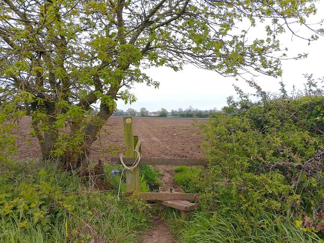
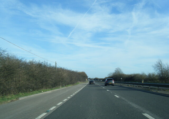
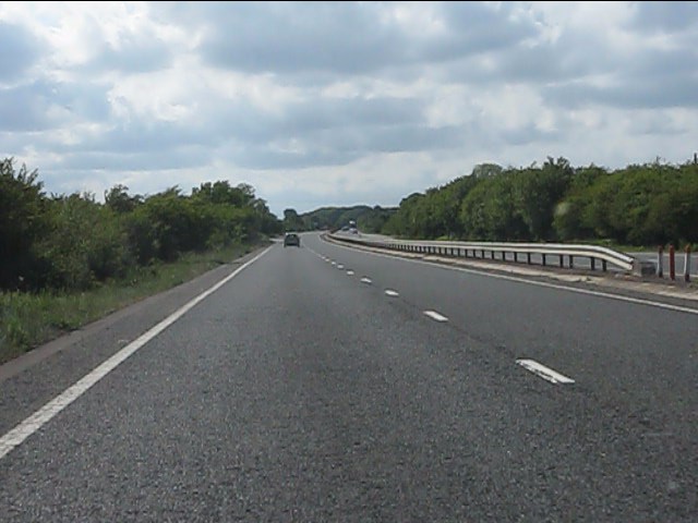
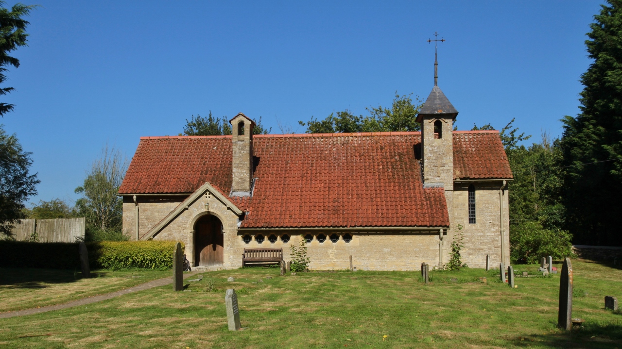
Bushey Ground Images

Images are sourced within 2km of 51.778813/-1.5520633 or Grid Reference SP3109. Thanks to Geograph Open Source API. All images are credited.

A40 nearing Brize Norton Road overbridge
A40 near Witney Lakes Golf Course
A40 nearing Curbridge roundabout
Farmland east of Brize Norton Farmland to the east of Brize Norton. A public footpath crosses the field.
Farmland east of Brize Norton
Farmland to the east of Brize Norton. A public footpath crosses the field.
Farmland east of Brize Norton Farmland to the east of Brize Norton. A public footpath crosses the field.
Farmland east of Brize Norton
Farmland to the east of Brize Norton. A public footpath crosses the field.
Farmland east of Brize Norton Farmland to the east of Brize Norton. A public footpath crosses the field.
Farmland east of Brize Norton
Farmland to the east of Brize Norton. A public footpath crosses the field.
Farmland east of Brize Norton Farmland to the east of Brize Norton. A public footpath crosses the field.
Farmland east of Brize Norton
Farmland to the east of Brize Norton. A public footpath crosses the field.
Farmland east of Brize Norton Farmland to the east of Brize Norton. A public footpath crosses the field.
Farmland east of Brize Norton
Farmland to the east of Brize Norton. A public footpath crosses the field.
Farmland east of Brize Norton Farmland to the east of Brize Norton. A public footpath crosses the field. The houses in the distance are on <a href="https://www.geograph.org.uk/photo/7481988">SP3007 : Chestnut Close, Brize Norton</a>.
Farmland east of Brize Norton
Farmland to the east of Brize Norton. A public footpath crosses the field. The houses in the distance are on SP3007 : Chestnut Close, Brize Norton.
A40 south of Worsham
Bridlepath across the A40 The gap in the central reservation's barriers indicates the course of the bridlepath.
Bridlepath across the A40
The gap in the central reservation's barriers indicates the course of the bridlepath.
The Masons Arms, Brize Norton
Minster Lovell Methodist Church, Minster Lovell The church (not a chapel according to the sign) is just inside the square. It is on the opposite side of the Brize Norton Road to the war memorial.
Minster Lovell Methodist Church, Minster Lovell
The church (not a chapel according to the sign) is just inside the square. It is on the opposite side of the Brize Norton Road to the war memorial.
Former Primitive Methodist Chapel, Brize Norton Road, Minster Lovell The chapel was built in 1893 and is at the opposite end of the square to the still extant Minster Lovell Methodist Church. <a href="https://www.geograph.org.uk/photo/308088">SP3110 : Minster Lovell Methodist Church, Minster Lovell</a>
Former Primitive Methodist Chapel, Brize Norton Road, Minster Lovell
The chapel was built in 1893 and is at the opposite end of the square to the still extant Minster Lovell Methodist Church. SP3110 : Minster Lovell Methodist Church, Minster Lovell
Former Primitive Methodist Chapel, Brize Norton Road, Minster Lovell Obviously much-loved.
Former Primitive Methodist Chapel, Brize Norton Road, Minster Lovell
Obviously much-loved.
Plaque in front wall of Former Primitive Methodist Chapel, Minster Lovell The Primitive Methodists broke away from mainstream Methodism in the early 19th century. They were also known colloquially as 'Ranters'.
Plaque in front wall of Former Primitive Methodist Chapel, Minster Lovell
The Primitive Methodists broke away from mainstream Methodism in the early 19th century. They were also known colloquially as 'Ranters'.
The road to Brize Norton, Minster Lovell Going south out of the square.
The road to Brize Norton, Minster Lovell
Going south out of the square.
Show me another place!

Bushey Ground is located at Grid Ref: SP3109 (Lat: 51.778813, Lng: -1.5520633)

Administrative County: Oxfordshire

District: West Oxfordshire

Police Authority: Thames Valley

What 3 Words

///thrillers.joined.ramming. Near Minster Lovell, Oxfordshire

Nearby Locations

Bushey Ground

Related Wikis

Brize Norton

Brize Norton is a village and civil parish 1 mile (1.6 km) east of Carterton in West Oxfordshire. The 2011 Census recorded the parish population as 938...

Witney Town F.C.

Witney Town F.C. (known at various times as Witney F.C., Witney United F.C. and Witney Town A.F.C.) was a football club in Witney, Oxfordshire. The club...

Curbridge, Oxfordshire

Curbridge is a village and civil parish immediately southwest of Witney, in the West Oxfordshire district, in the county of Oxfordshire, England. The 2011...

Curbridge and Lew

Curbridge and Lew are civil parishes in West Oxfordshire, located to the south-west of Witney, Oxfordshire, that share a common parish council. The joint...

Worsham, Oxfordshire

Worsham is a hamlet on the River Windrush about 3.5 miles (5.6 km) west of Witney. 0.25 miles (400 m) east of Worsham on the north side of the Windrush...

Crocodiles of the World

Crocodiles of the World is a zoo in Brize Norton, Oxfordshire in the United Kingdom specialising in crocodilia. == History == Crocodiles of the world was...

Asthall barrow

Asthall barrow is a high-status Anglo-Saxon burial mound from the seventh century AD. It is located in Asthall, Oxfordshire, and was excavated in 1923...

Minster Lovell

Minster Lovell is a village and civil parish on the River Windrush about 2+1⁄2 miles (4 km) west of Witney in Oxfordshire. The 2011 Census recorded the...

Nearby Amenities

Located within 500m of 51.778813,-1.5520633
Motorway Junction
Lat/Long: 51.7820838/-1.5479248
Bus Stop
Minster Lovell A40 Flyover
Bus: yes
Local Ref: NE-bound
Naptan AtcoCode: 340004132NOR
Naptan Bearing: NE
Naptan CommonName: Minster Lovell A40
Naptan Indicator: Bridge
Naptan Landmark: A40 Flyover
Naptan NaptanCode: oxfgmwmd
Naptan Street: Minster Road
Naptan Verified: no
Public Transport: platform
Source: naptan_import
Lat/Long: 51.7828754/-1.5542032
Bus Stop
Minster Lovell A40 Flyover
Bus: yes
Local Ref: SW-bound
Naptan AtcoCode: 340004132SOU
Naptan Bearing: SW
Naptan CommonName: Minster Lovell A40
Naptan Indicator: Bridge
Naptan Landmark: A40 Flyover
Naptan NaptanCode: oxfgmwmg
Naptan Street: Minster Road
Naptan Verified: no
Public Transport: platform
Source: naptan_import
Lat/Long: 51.7824462/-1.5548163
The data included in this document is from www.openstreetmap.org. The data is made available under ODbL.

Have you been to Bushey Ground?

Leave your review of Bushey Ground below (or comments, questions and feedback).