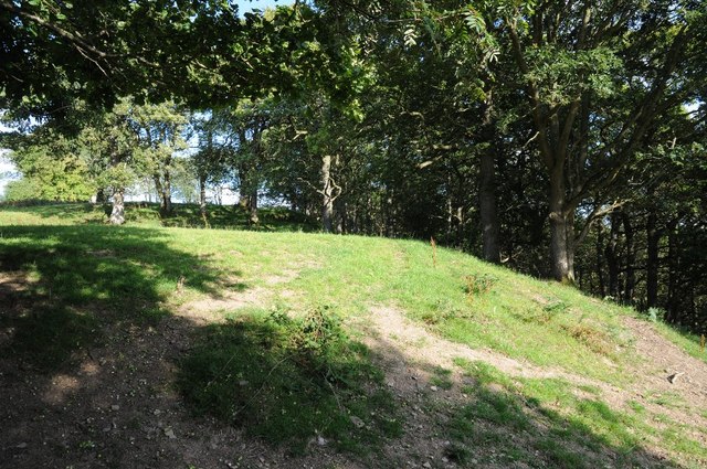
Coed y Ty-isaf

Wood, Forest in Denbighshire

Wales

Coed y Ty-isaf

The course of the river Deunant A minor river which joins the River Aled and continues to the Elwy
The course of the river Deunant Credit: Eirian Evans

The requested URL returned error: 429 Too Many Requests

If you have any feedback on the listing, please let us know in the comments section below.

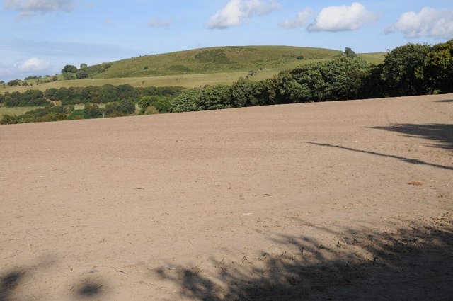
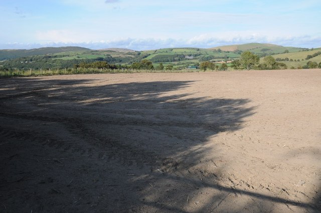
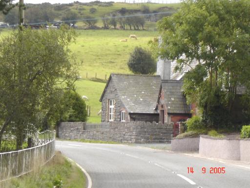
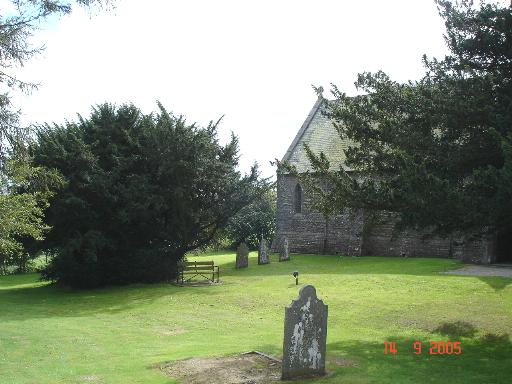
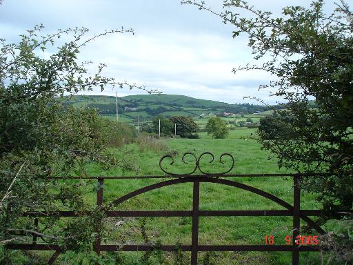
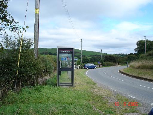
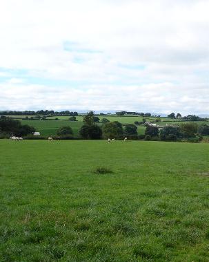
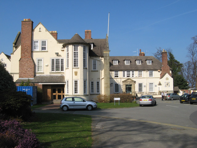
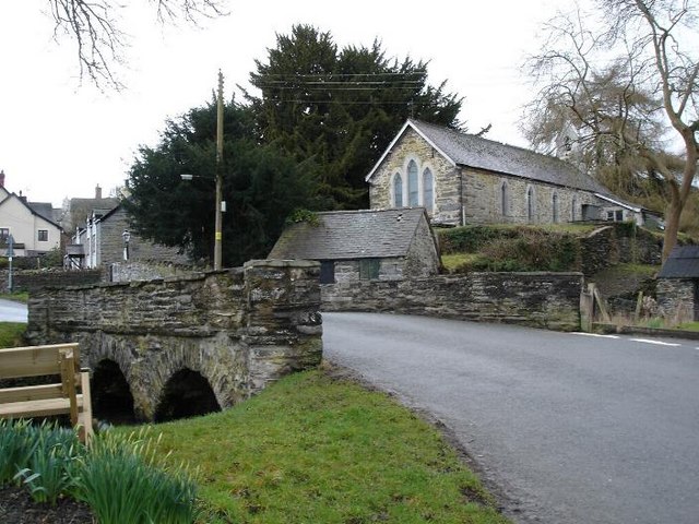
Coed y Ty-isaf Images

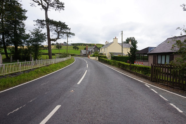
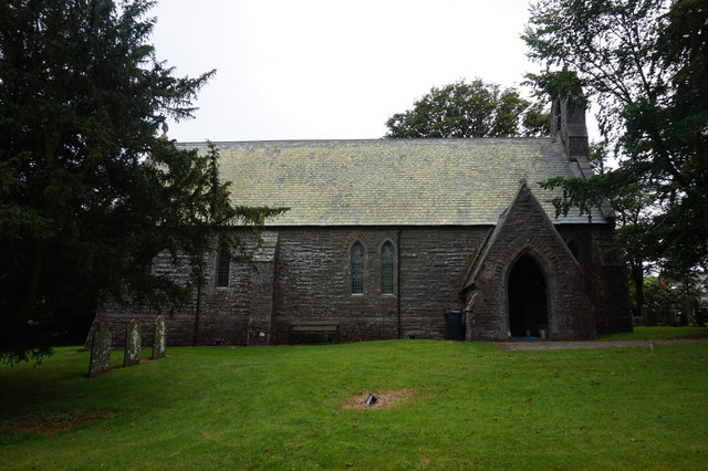
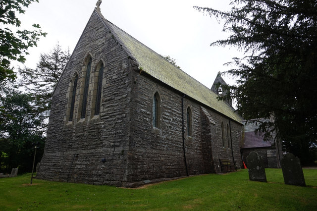
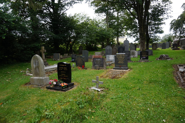
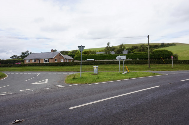
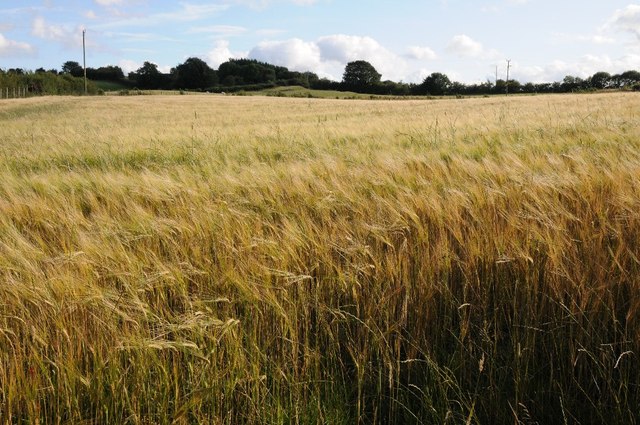
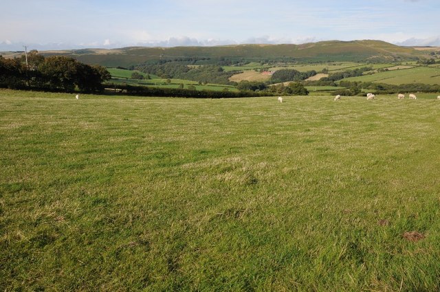
Images are sourced within 2km of 53.160864/-3.5541095 or Grid Reference SH9663. Thanks to Geograph Open Source API. All images are credited.

The course of the river Deunant A minor river which joins the River Aled and continues to the Elwy
The course of the river Deunant
A minor river which joins the River Aled and continues to the Elwy
Pont Deunant Road bridge on a minor country road, spanning the Afon Deunant, halfway betweenof Bryn Rhydarian and Llansannan. It was built in 1785, the bond of November 1784 specifying that the bridge be built by 24th June of the following year. The contract was awarded to David Lewis, mason, and the bridge was constructed from stone quarried from the Nantglyn Quarry. It is Grade II listed.
Pont Deunant
Road bridge on a minor country road, spanning the Afon Deunant, halfway betweenof Bryn Rhydarian and Llansannan. It was built in 1785, the bond of November 1784 specifying that the bridge be built by 24th June of the following year. The contract was awarded to David Lewis, mason, and the bridge was constructed from stone quarried from the Nantglyn Quarry. It is Grade II listed.
A543 at Bylchau
A543 at Bylchau
St Thomas's Church, Bylchau
St Thomas's Church Graveyard, Bylchau
A544 at  Bylchau
A544 at Bylchau
Farmland near Penrhos Farmland near Penrhos to the south-east of Llansannan
Farmland near Penrhos
Farmland near Penrhos to the south-east of Llansannan
Barley field near Tan-y-Fron
Grazing land near Tan-y-Fron
Farmland footpath Farmland footpath passing trees near Tan-y-Fron.
Farmland footpath
Farmland footpath passing trees near Tan-y-Fron.
View to Moel Grugoer View to Moel Grugoer across an arable field near Cefn-bach.
View to Moel Grugoer
View to Moel Grugoer across an arable field near Cefn-bach.
Arable field near Cefn-bach The majority of farmland here is pasture, arable fields such as this one are common in this area.
Arable field near Cefn-bach
The majority of farmland here is pasture, arable fields such as this one are common in this area.
Bylchau village The main road through the village with stone cottage on the corner
Bylchau village
The main road through the village with stone cottage on the corner
Churchyard at Bylchau Village church and churchyard in the hamlet of Bylchau near to Denbigh
Churchyard at Bylchau
Village church and churchyard in the hamlet of Bylchau near to Denbigh
Cae coed farmland Looking over the old iron gate to farmland at Cae Coed
Cae coed farmland
Looking over the old iron gate to farmland at Cae Coed
A544 at Clwt The A544 at Clwt - a hamlet  to the west of Bylchau
A544 at Clwt
The A544 at Clwt - a hamlet to the west of Bylchau
Farmland at Clwt Farmland at Clwt taken from the A544 looking west
Farmland at Clwt
Farmland at Clwt taken from the A544 looking west
Show me another place!

Coed y Ty-isaf is located at Grid Ref: SH9663 (Lat: 53.160864, Lng: -3.5541095)

Unitary Authority: Conwy

Police Authority: North Wales

What 3 Words

///servants.showdown.stitching. Near Henllan, Denbighshire

Nearby Locations

Clwt Coed y Ty-isaf

Related Wikis

Bylchau

Bylchau () is a hamlet in Conwy County Borough, Wales. It is located at the junction of the A544 with the A543, some 5 miles to the south-west of Denbigh...

Colwyn

Colwyn was a local government district with borough status from 1974 to 1996, being one of six districts in the county of Clwyd, north-east Wales. ��2...

Llansannan

Llansannan is a rural village and community in Conwy County Borough, Wales. It lies on the bank of the River Aled and is about 8 miles to the south of...

Nantglyn

Nantglyn is a small village and community in Denbighshire, Wales. The population of the community taken at the 2011 census was 323. It is situated in a...

Nearby Amenities

Located within 500m of 53.160864,-3.5541095
Tan y Fron
Place: hamlet
Lat/Long: 53.1637419/-3.5595503
The data included in this document is from www.openstreetmap.org. The data is made available under ODbL.

Have you been to Coed y Ty-isaf?

Leave your review of Coed y Ty-isaf below (or comments, questions and feedback).