Coed Hen-hafod
Wood, Forest in Merionethshire
Wales
Coed Hen-hafod

The requested URL returned error: 429 Too Many Requests
If you have any feedback on the listing, please let us know in the comments section below.
Coed Hen-hafod Images
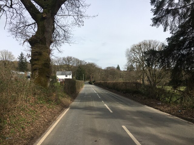
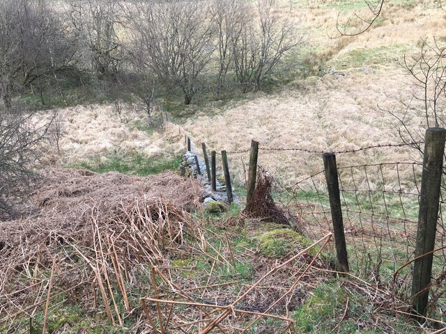
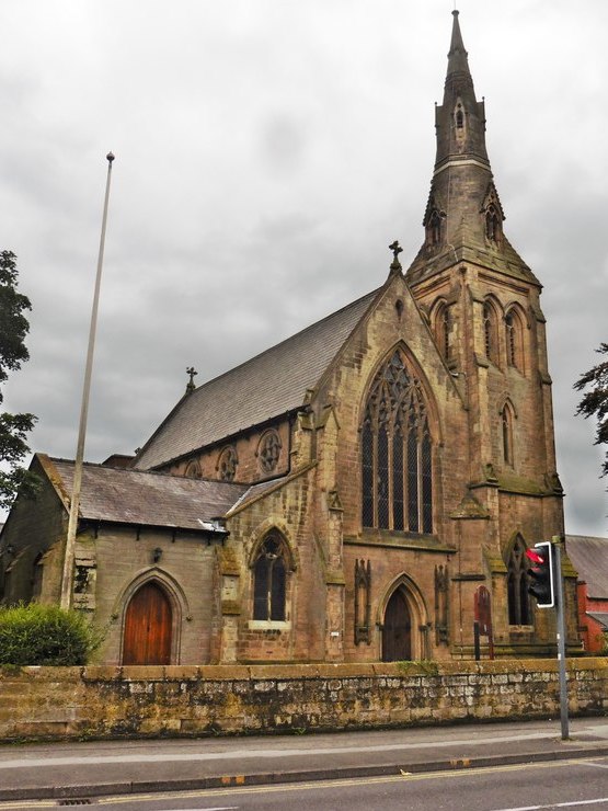
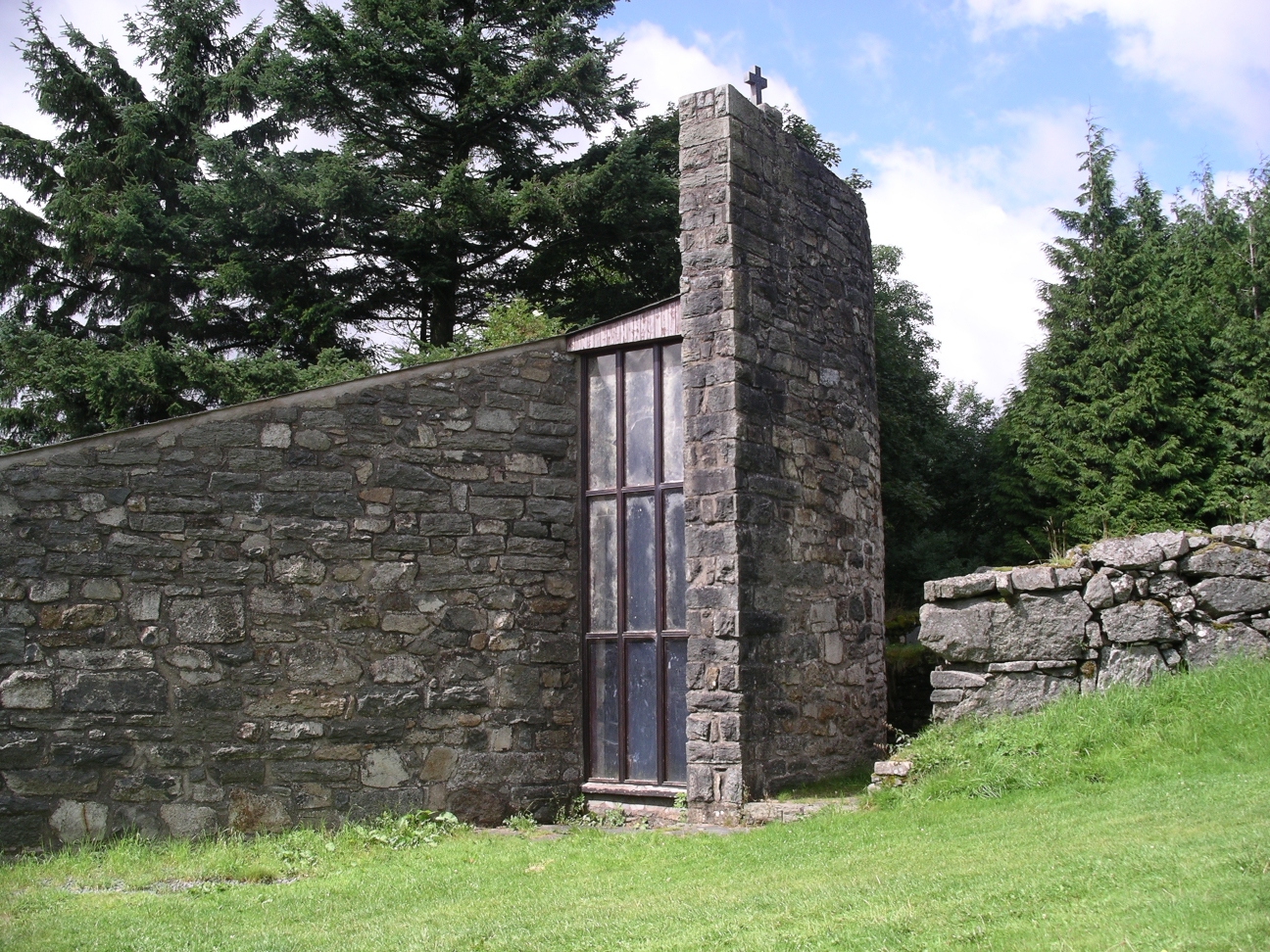
Images are sourced within 2km of 52.928296/-3.5545118 or Grid Reference SH9537. Thanks to Geograph Open Source API. All images are credited.


Coed Hen-hafod is located at Grid Ref: SH9537 (Lat: 52.928296, Lng: -3.5545118)
Unitary Authority: Gwynedd
Police Authority: North Wales
What 3 Words
///refer.bandaged.kebab. Near Bala, Gwynedd
Nearby Locations
Related Wikis

Cefnddwysarn
Cefnddwysarn () is a small village in Gwynedd, Wales. It is located on the A494 road approximately 3 miles east of the town of Bala and 8 miles west of...
Roman Catholic Diocese of Wrexham
The Diocese of Wrexham, is a Latin Church ecclesiastical territory or diocese of the Catholic Church in Wales. The diocese is a suffragan in the ecclesiastical...
Afon Tryweryn
The Tryweryn is a river in the north of Wales which starts at Llyn Tryweryn in the Snowdonia National Park and after 19 kilometres (12 mi) joins the river...

Llanfor
Llanfor is a village in Gwynedd, Wales near the town of Bala, in the community of Llandderfel. == History == There is evidence of an Iron Age Hill Fort...
Nearby Amenities
Located within 500m of 52.928296,-3.5545118Have you been to Coed Hen-hafod?
Leave your review of Coed Hen-hafod below (or comments, questions and feedback).