Bushby

Settlement in Leicestershire Harborough

England

Bushby

Bowhill Road from Scraptoft Lane
Bowhill Road from Scraptoft Lane Credit: David Howard

Located in the Harborough district of Leicestershire, Bushby is a small village situated about 5 miles east of Leicester city center. With a population of around 500 people, it offers a peaceful and idyllic setting for residents and visitors alike. The village is primarily residential, characterized by charming cottages and a strong sense of community.

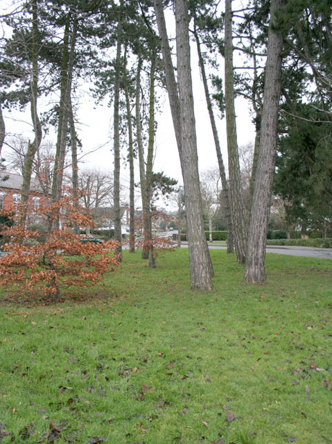
Bushby is surrounded by picturesque countryside, making it a popular spot for nature enthusiasts. The nearby countryside offers ample opportunities for outdoor activities such as walking, cycling, and horse riding. The village is also blessed with several green spaces and a nearby golf course, providing residents with a range of recreational options.

Despite its small size, Bushby boasts a few essential amenities. The village has a primary school, which caters to the educational needs of local children, and there is a village hall that hosts various community events and activities. Additionally, Bushby benefits from a well-regarded pub, offering a cozy spot for residents to relax and socialize.

Transport links are convenient, with regular bus services connecting Bushby to nearby towns and cities. Leicester city center can be easily reached by car or public transport, providing access to a wider range of amenities and employment opportunities.

Overall, Bushby offers a delightful mix of rural charm and accessibility, making it an attractive place to live for those seeking a tranquil lifestyle within easy reach of urban amenities.

If you have any feedback on the listing, please let us know in the comments section below.
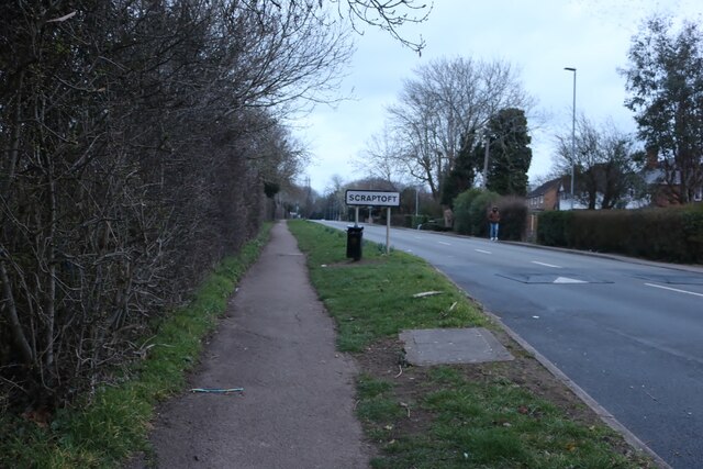
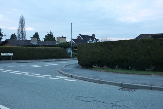
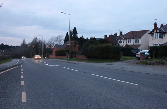
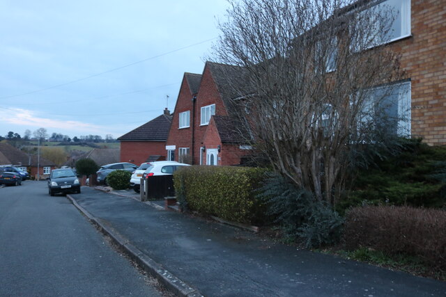
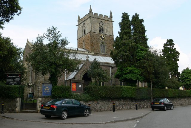
Bushby Images

Images are sourced within 2km of 52.63062/-1.036927 or Grid Reference SK6504. Thanks to Geograph Open Source API. All images are credited.

Bowhill Road from Scraptoft Lane
Entering Scraptoft On Scraptoft Lane
Entering Scraptoft
On Scraptoft Lane
Field by Scraptoft Lane
The White House, Scraptoft
Station Lane, Scraptoft At the junction of Rose Acre Close
Station Lane, Scraptoft
At the junction of Rose Acre Close
Station Lane, Scraptoft
Somerby Road, Thurnby
Field and houses by Scraptoft Lane, Scraptoft
Scraptoft Lane, Scraptoft
Bungalow on Station Lane, Scraptoft
Station Road, Thurnby At the end of Somerby Road
Station Road, Thurnby
At the end of Somerby Road
Thurnby Hill
Thurnby Hill
Somerby Road, Thurnby At the entrance to Fernvale Primary School
Somerby Road, Thurnby
At the entrance to Fernvale Primary School
Spencefield Lane, Thurnby
Sedgefield Drive, Thurnby
Show me another place!

Bushby is located at Grid Ref: SK6504 (Lat: 52.63062, Lng: -1.036927)

Administrative County: Leicestershire

District: Harborough

Police Authority: Leicestershire

What 3 Words

///scale.walks.spend. Near Houghton on the Hill, Leicestershire

Nearby Locations

Bushby

Related Wikis

Thurnby and Bushby

Thurnby and Bushby, sometimes known as Thurnby, is a civil parish in the Harborough district of Leicestershire, England. According to the 2001 census it...

Bushby

Bushby is a village and former civil parish, now in the parish of Thurnby and Bushby, in the Harborough district, in Leicestershire, England. In 1931 the...

Thurnby

Thurnby is a village and former civil parish, now in the parish of Thurnby and Bushby, in the Harborough district, in the county of Leicestershire, England...

Thurnby and Scraptoft railway station

Thurnby and Scraptoft railway station was a railway station in Thurnby, Leicestershire on the Great Northern Railway Leicester branch. Thurnby & Scraptoft...

Nearby Amenities

Located within 500m of 52.63062,-1.036927
Bushby
Is In: Harborough District,Leicestershire,England,UK
Is In County: Leicestershire
Is In District: Harborough
Place: village
Wikidata: Q3647547
Lat/Long: 52.6296666/-1.0415697
Fuel
Lat/Long: 52.630875/-1.0428107
Crossing
Lat/Long: 52.631119/-1.0426262
Pub
Rose and Crown
Addr City: Leicester
Addr Country: GB
Addr Postcode: LE7 9PJ
Addr Street: Main Street
Addr Village: Thurnby
Fhrs Authority: Harborough
Fhrs Id: 754388
Fhrs Local Authority Id: 14/00080/FOODHS
Lat/Long: 52.62818/-1.0423454
Bus Stop
Main Street
Alt Name: Thurnby - Uppingham Road
Bus: yes
Naptan AltCommonName: Thurnby - Uppingham Road
Naptan AtcoCode: 260025200
Naptan Bearing: E
Naptan CommonName: Main Street
Naptan Indicator: outside
Naptan Landmark: 740 Uppingham Road
Naptan NaptanCode: leijpdaw
Naptan Notes: Hourly - County
Naptan Street: Uppingham Road
Naptan Verified: no
Public Transport: platform
Source: naptan_import
Lat/Long: 52.6301113/-1.035604
Bus Stop
Main Street
Alt Name: Thurnby - Uppingham Road
Bus: yes
Naptan AltCommonName: Thurnby - Uppingham Road
Naptan AtcoCode: 260025201
Naptan Bearing: W
Naptan CommonName: Main Street
Naptan Indicator: opposite
Naptan Landmark: 738 Uppingham Road
Naptan NaptanCode: leijpdga
Naptan Notes: Hourly - County
Naptan Street: Uppingham Road
Naptan Verified: no
Public Transport: platform
Source: naptan_import
Lat/Long: 52.6300011/-1.0364191
Bus Stop
Dalby Avenue
Bus: yes
Naptan AtcoCode: 260025202
Naptan Bearing: W
Naptan CommonName: Dalby Avenue
Naptan Indicator: opposite
Naptan Landmark: Dalby Avenue & west of footpath
Naptan NaptanCode: leijpdgd
Naptan Notes: Hourly - County
Naptan Street: Uppingham Road
Naptan Verified: no
Public Transport: platform
Source: naptan_import
Lat/Long: 52.630368/-1.0395287
Bus Stop
Dalby Avenue
Bus: yes
Naptan AtcoCode: 260025203
Naptan Bearing: E
Naptan CommonName: Dalby Avenue
Naptan Indicator: adj
Naptan Landmark: 722 Uppingham Road
Naptan NaptanCode: leijpdgj
Naptan Notes: Hourly - County
Naptan Street: Uppingham Road
Naptan Verified: no
Public Transport: platform
Source: naptan_import
Lat/Long: 52.6307336/-1.0402742
Bus Stop
Hereward Drive
Bus: yes
Naptan AtcoCode: 260025204
Naptan Bearing: E
Naptan CommonName: Hereward Drive
Naptan Indicator: adj
Naptan Landmark: 785 & BP Service Station
Naptan NaptanCode: leijpdgm
Naptan Notes: Hourly - County
Naptan PlusbusZoneRef: LESTER
Naptan Street: Uppingham Road
Naptan Verified: no
Public Transport: platform
Source: naptan_import
Lat/Long: 52.6312317/-1.0429377
Bus Stop
Charity Farm
Bus: yes
Naptan AtcoCode: 260025219
Naptan Bearing: W
Naptan CommonName: Charity Farm
Naptan Indicator: opposite
Naptan Landmark: 911 'Ashmead'
Naptan NaptanCode: leijpdmp
Naptan Notes: Hourly - County
Naptan Street: Uppingham Road
Naptan Verified: no
Public Transport: platform
Source: naptan_import
Lat/Long: 52.630176/-1.030313
Bus Stop
Hereward Drive
Bus: yes
Naptan AtcoCode: 260025222
Naptan Bearing: W
Naptan CommonName: Hereward Drive
Naptan Indicator: opp
Naptan Landmark: 779 Uppingham Road
Naptan NaptanCode: leijpdpa
Naptan Notes: Hourly - County
Naptan PlusbusZoneRef: LESTER
Naptan Street: Uppingham Road
Naptan Verified: no
Public Transport: platform
Source: naptan_import
Lat/Long: 52.6311632/-1.0433677
Crossing
Crossing: unmarked
Crossing Island: yes
Tactile Paving: yes
Lat/Long: 52.6302383/-1.0298736
Doctors
Doctors Surgery
Healthcare: doctor
Name En: Doctors Surgery
Lat/Long: 52.6281656/-1.0413253
Crossing
Crossing Island: yes
Lat/Long: 52.6303352/-1.0295644
Generator Method: photovoltaic
Generator Output Electricity: yes
Generator Source: solar
Generator Type: solar_photovoltaic_panel
Location: roof
Power: generator
Lat/Long: 52.6331487/-1.0341605
Generator Method: photovoltaic
Generator Output Electricity: yes
Generator Source: solar
Generator Type: solar_photovoltaic_panel
Location: roof
Power: generator
Lat/Long: 52.6335378/-1.0336107
Generator Method: photovoltaic
Generator Output Electricity: yes
Generator Source: solar
Generator Type: solar_photovoltaic_panel
Location: roof
Power: generator
Lat/Long: 52.6322045/-1.0330957
Generator Method: photovoltaic
Generator Output Electricity: yes
Generator Source: solar
Generator Type: solar_photovoltaic_panel
Location: roof
Power: generator
Lat/Long: 52.6303764/-1.0364645
Generator Method: photovoltaic
Generator Output Electricity: yes
Generator Source: solar
Generator Type: solar_photovoltaic_panel
Location: roof
Power: generator
Lat/Long: 52.6291993/-1.0311779
Generator Method: photovoltaic
Generator Output Electricity: yes
Generator Source: solar
Generator Type: solar_photovoltaic_panel
Location: roof
Power: generator
Lat/Long: 52.6322306/-1.0417217
Generator Method: photovoltaic
Generator Output Electricity: yes
Generator Source: solar
Generator Type: solar_photovoltaic_panel
Location: roof
Power: generator
Lat/Long: 52.6319587/-1.0398844
Generator Method: photovoltaic
Generator Output Electricity: yes
Generator Source: solar
Generator Type: solar_photovoltaic_panel
Location: roof
Power: generator
Lat/Long: 52.6323787/-1.040807
Generator Method: photovoltaic
Generator Output Electricity: yes
Generator Source: solar
Generator Type: solar_photovoltaic_panel
Location: roof
Power: generator
Lat/Long: 52.6328964/-1.0403377
Kindergarten
Purple Rocket Nursery
Addr City: Leicester
Addr Country: GB
Addr Housenumber: 742
Addr Postcode: LE7 9RN
Addr Street: Uppingham Road
Addr Village: Thurnby
Fhrs Authority: Harborough
Fhrs Id: 354954
Fhrs Local Authority Id: 04/00026/FOODHS
Lat/Long: 52.6304289/-1.0348928
The data included in this document is from www.openstreetmap.org. The data is made available under ODbL.

Have you been to Bushby?

Leave your review of Bushby below (or comments, questions and feedback).