Bush Green
Settlement in Norfolk South Norfolk
England
Bush Green
The requested URL returned error: 429 Too Many Requests
If you have any feedback on the listing, please let us know in the comments section below.
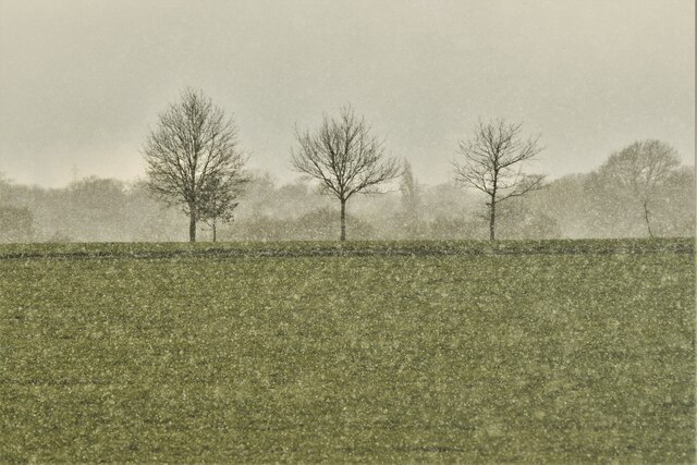
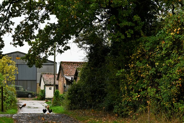
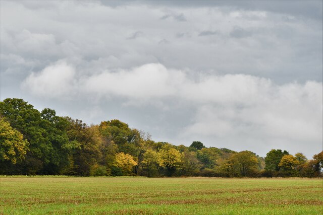
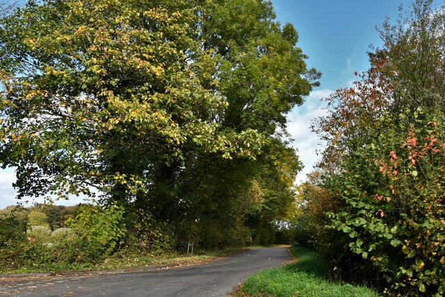
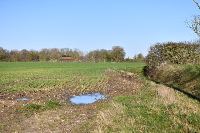
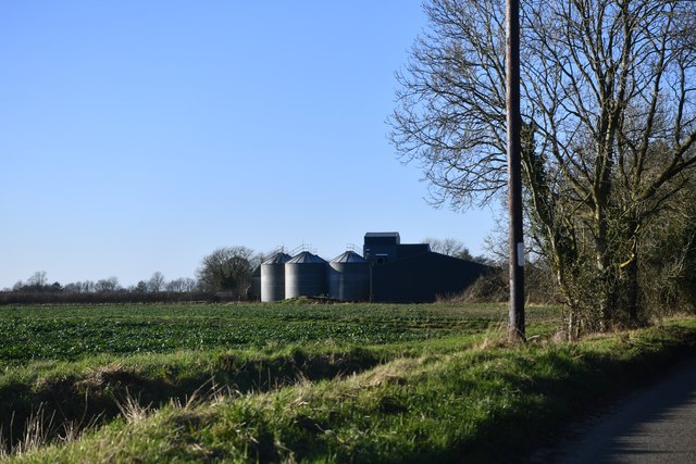
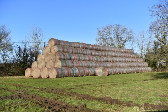
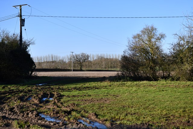
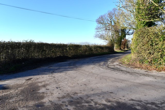
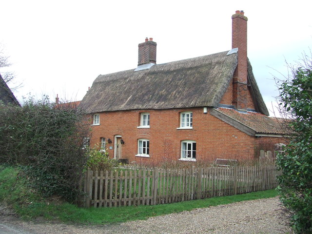
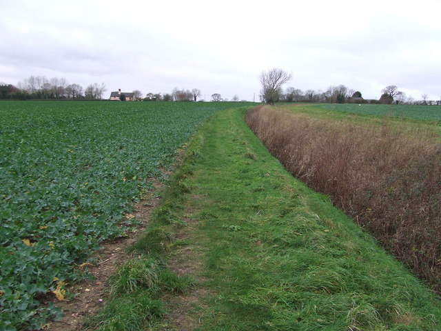
Bush Green Images
Images are sourced within 2km of 52.443041/1.247434 or Grid Reference TM2087. Thanks to Geograph Open Source API. All images are credited.


Bush Green is located at Grid Ref: TM2087 (Lat: 52.443041, Lng: 1.247434)
Administrative County: Norfolk
District: South Norfolk
Police Authority: Norfolk
What 3 Words
///dusts.sideburns.lace. Near Long Stratton, Norfolk
Nearby Locations
Related Wikis
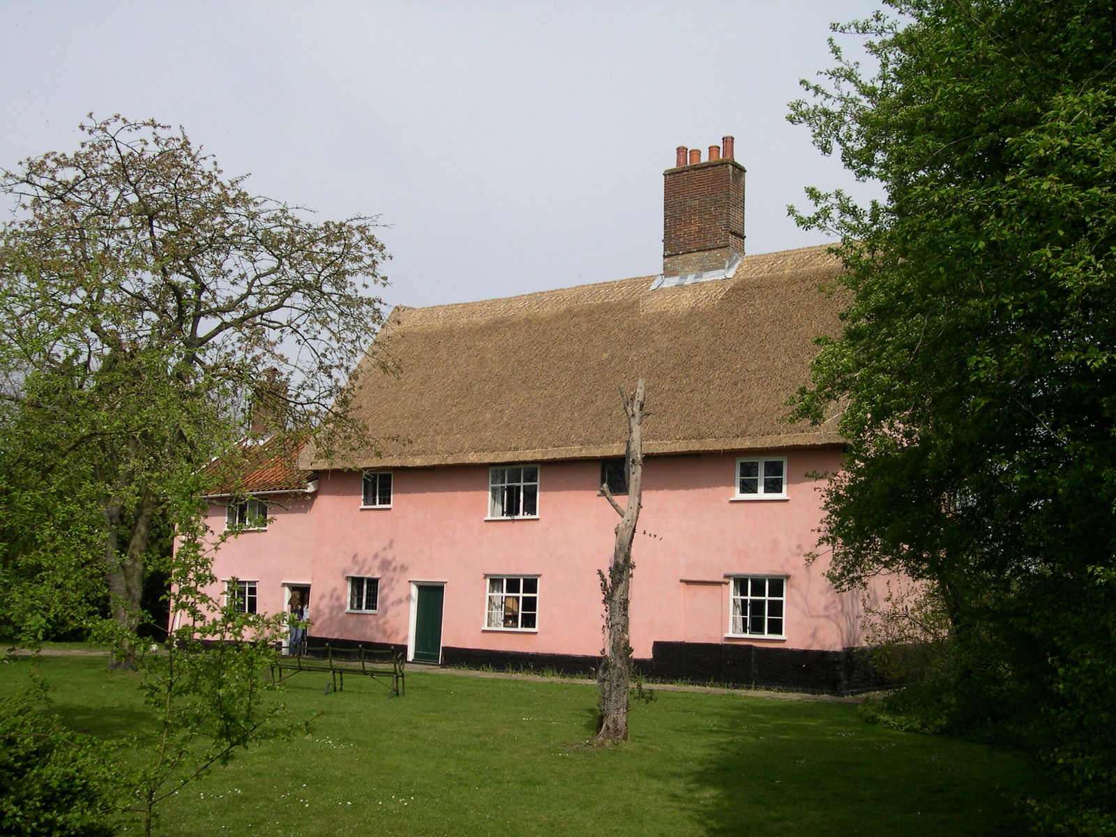
Manor Farm, Pulham Market
Manor Farm, a property of the Landmark Trust, is at Pulham Market near the town of Diss, in Norfolk, England. The house is a Grade II listed building....
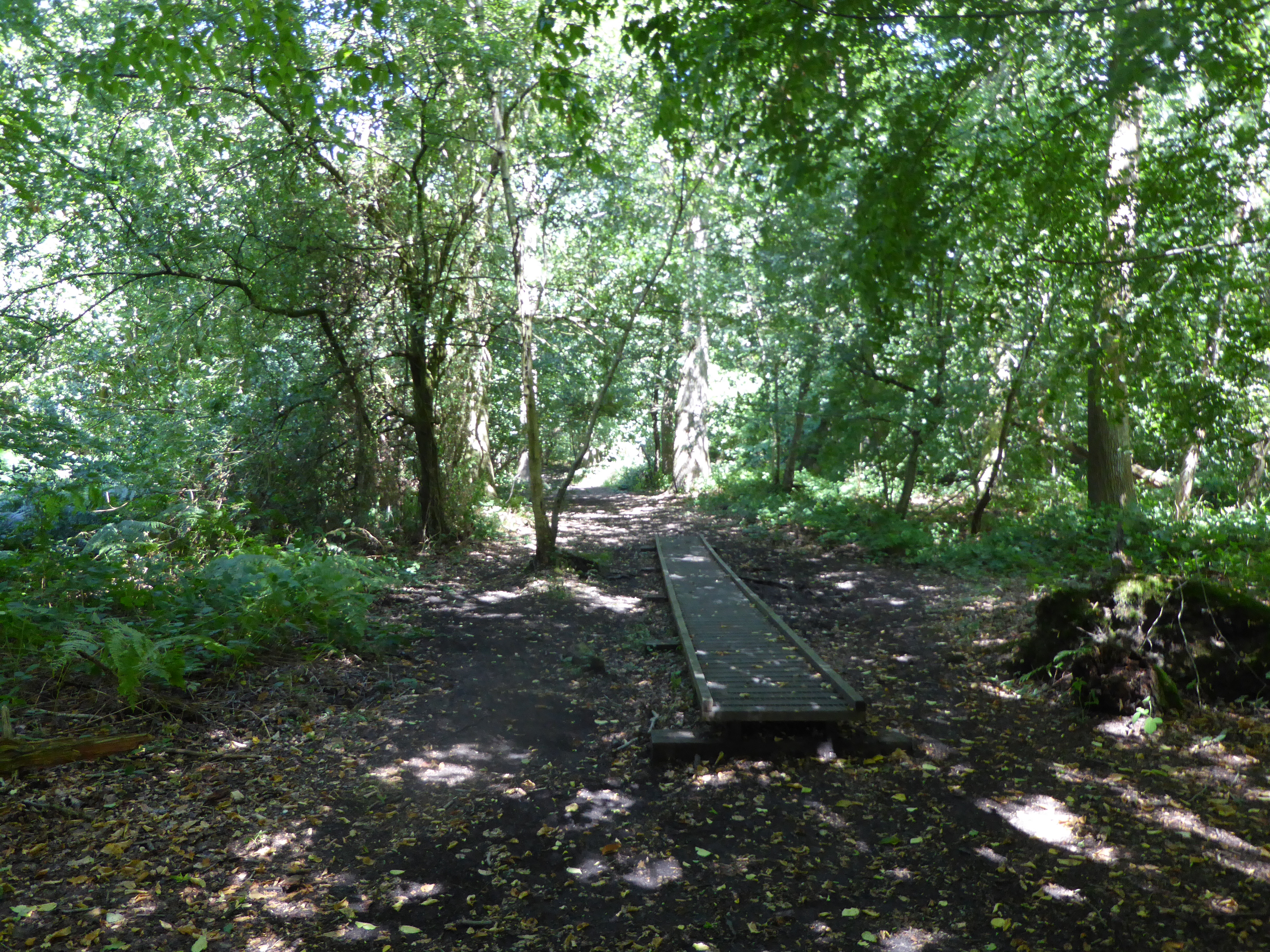
Pulham Market Big Wood
Pulham Market Big Wood is a 4.7-hectare (12-acre) biological Site of Special Scientific Interest south of Long Stratton in Norfolk.This ancient coppice...
Pulham Market
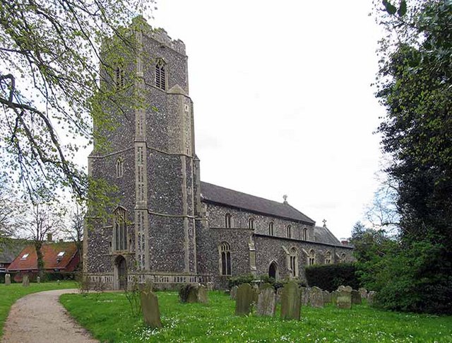
Pulham Market is a village and civil parish in Norfolk, situated approximately 8 miles (13 km) northeast of Diss and 14 miles (23 km) south of Norwich...

Depwade Rural District
Depwade Rural District was a rural district in Norfolk, England from 1894 to 1974.It was formed under the Local Government Act 1894 based on the Depwade...
Nearby Amenities
Located within 500m of 52.443041,1.247434Have you been to Bush Green?
Leave your review of Bush Green below (or comments, questions and feedback).