Allt Ddu
Wood, Forest in Brecknockshire
Wales
Allt Ddu

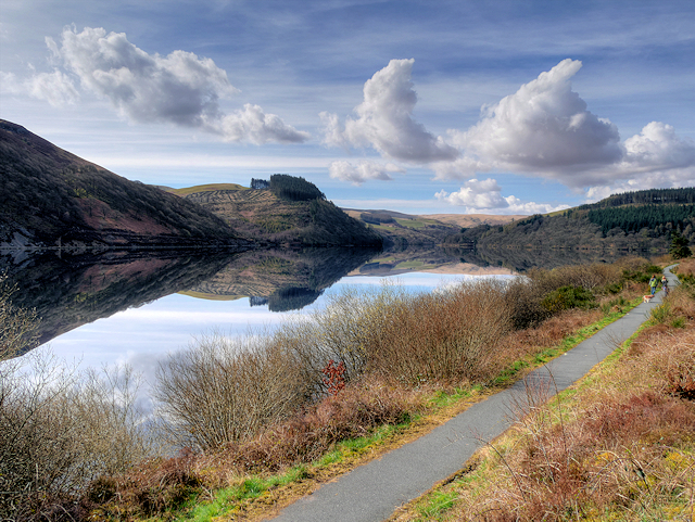
Allt Ddu, located in the county of Brecknockshire, is a picturesque wood and forest known for its natural beauty and diverse ecosystem. Spanning over a vast area, this enchanting woodland is a haven for nature enthusiasts and offers a serene retreat for visitors seeking tranquility.
The wood is characterized by its dense canopy of trees, comprising a mix of deciduous and coniferous species. Towering oak, beech, and ash trees dominate the landscape, providing shade and shelter to a variety of wildlife. The forest floor is adorned with a rich carpet of wildflowers, ferns, and mosses, creating a vibrant and colorful undergrowth.
Allt Ddu boasts a network of well-maintained trails that wind through the woods, offering hikers and walkers the opportunity to explore its hidden gems. Along these paths, one can discover bubbling streams, cascading waterfalls, and small ponds teeming with aquatic life. The sound of birdsong fills the air, with species such as the melodious song thrush and the elusive woodpecker often spotted amongst the trees.
The wood is also home to a diverse range of fauna. Red squirrels scurry through the branches, while badgers, foxes, and even the occasional deer can be spotted in the early morning or twilight hours. The forest is a mecca for birdwatchers, with rare and migratory species frequently sighted, including the majestic red kite and the charming pied flycatcher.
In summary, Allt Ddu in Brecknockshire is a captivating wood and forest that offers a unique blend of natural beauty, tranquility, and wildlife diversity.
If you have any feedback on the listing, please let us know in the comments section below.
Allt Ddu Images
Images are sourced within 2km of 52.273982/-3.5602095 or Grid Reference SN9365. Thanks to Geograph Open Source API. All images are credited.


Allt Ddu is located at Grid Ref: SN9365 (Lat: 52.273982, Lng: -3.5602095)
Unitary Authority: Powys
Police Authority: Dyfed Powys
What 3 Words
///honeybees.honeybees.coveted. Near Rhayader, Powys
Nearby Locations
Related Wikis
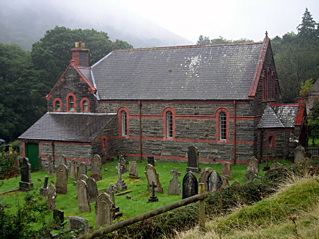
Elan Village
Elan Village (Welsh: Pentre Elan) is a small purpose-built community in Powys, Wales. It was designed by architect Herbert Tudor Buckland as part of Birmingham...

Carn Gafallt
Carn Gafallt is a Site of Special Scientific Interest in Breconshire, Powys, Wales, and a hill of 466 metres (1529 feet) which is a Marilyn. == See... ==
Caeau Cnwch a Ty'n-y-graig
Caeau Cnwch a Ty'n-y-graig is a Site of Special Scientific Interest in Brecknock, Powys, Wales. It occupies sloping ground on the south west side of Pen...

Elan Valley
The Elan Valley (Welsh: Cwm Elan) is a river valley situated to the west of Rhayader, in Powys, Wales, sometimes known as the "Welsh Lake District". It...
Nearby Amenities
Located within 500m of 52.273982,-3.5602095Have you been to Allt Ddu?
Leave your review of Allt Ddu below (or comments, questions and feedback).