Allt Rhulan

Wood, Forest in Brecknockshire

Wales

Allt Rhulan

Mynwent Capel Sardis Burial Ground Mynwent Capel y Bedyddwyr Sardis ger Ffarm Blandyryn. Codwyd y capel cyntaf yn 1822 ac fe'i hail-adeiladwyd yn 1914. Yn anffodus caewyd y capel diarffordd hwn yn 1994 a'i ddymchwel yn 1995.

Sardis Baptist Chapel burial ground near Blaendyryn Farm. The first chapel was built in 1822 and later rebuilt in 1914. Sadly, this remote chapel closed in 1994 and demolished in 1995.
Mynwent Capel Sardis Burial Ground Credit: Alan Richards

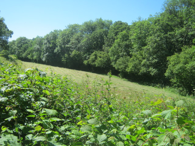
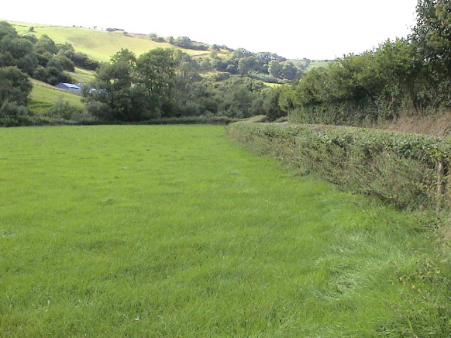
Allt Rhulan is a small wood located in the county of Brecknockshire, Wales. Covering an area of approximately 100 acres, it is situated within the Brecon Beacons National Park, a renowned area of natural beauty. The wood is situated on the western slope of a hill, providing breathtaking views of the surrounding countryside.

The wood is predominantly composed of deciduous trees, including oak, beech, and ash. These trees offer a rich canopy that provides shade and shelter for a diverse range of flora and fauna. Bluebells and wild garlic are a common sight in the spring, creating a vibrant carpet of color under the tall trees.

Allt Rhulan is intersected by several footpaths, making it easily accessible for nature enthusiasts and walkers. These paths wind through the wood, offering visitors an opportunity to explore its tranquil surroundings. The wood is also home to a variety of wildlife, including deer, badgers, and numerous bird species, making it a popular spot for birdwatching.

The wood is managed by the local authorities, who are dedicated to preserving its natural beauty and biodiversity. Conservation efforts include regular tree maintenance, removal of invasive species, and promoting sustainable practices within the wood.

Allt Rhulan is a cherished natural gem within Brecknockshire, offering visitors a chance to immerse themselves in a peaceful and picturesque woodland setting. Its accessibility and diverse wildlife make it a popular destination for nature lovers and those seeking a respite from the hustle and bustle of everyday life.

If you have any feedback on the listing, please let us know in the comments section below.
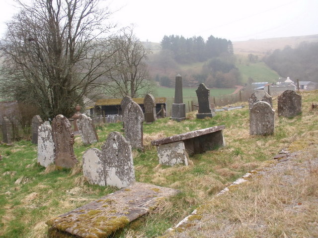
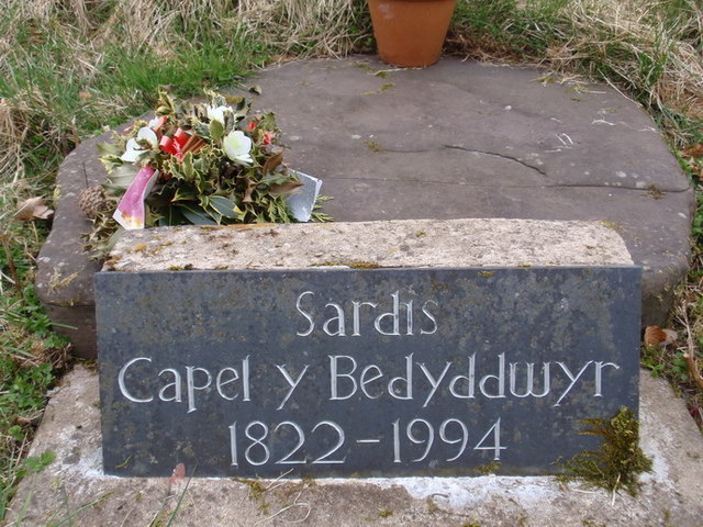
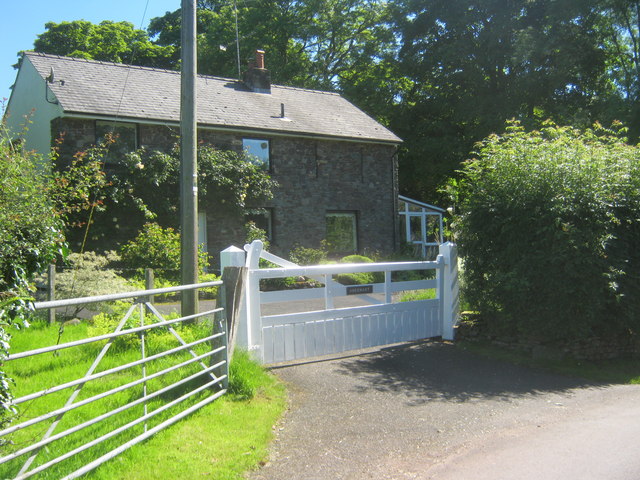
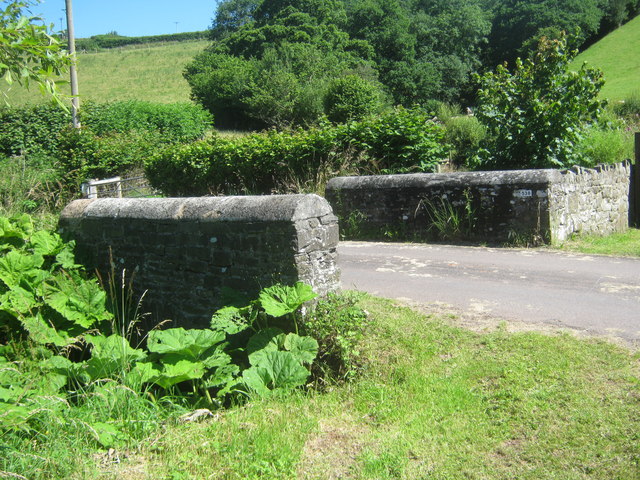
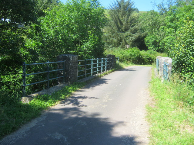
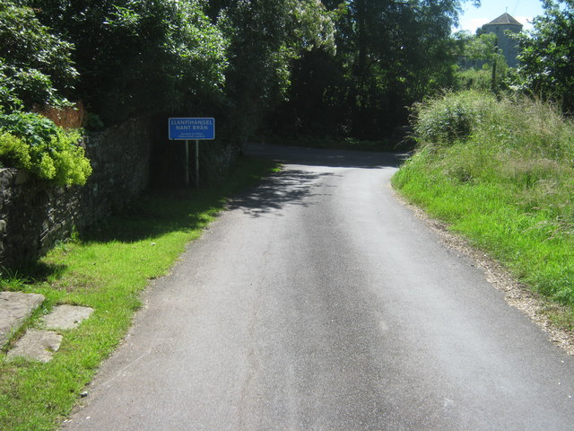
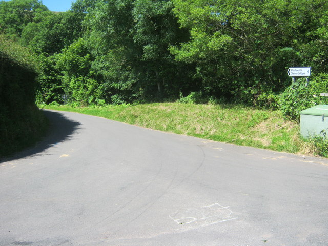
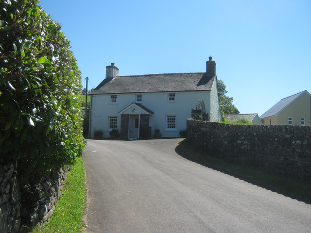
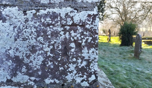
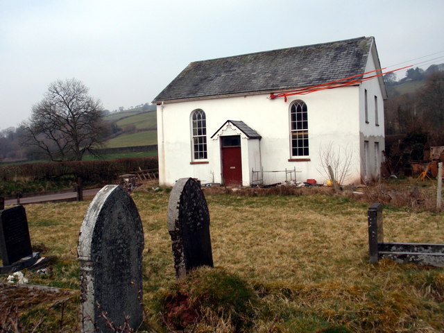
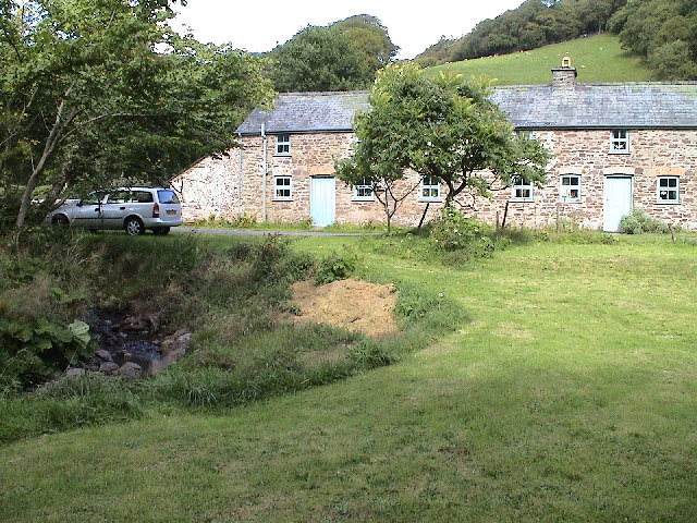
Allt Rhulan Images

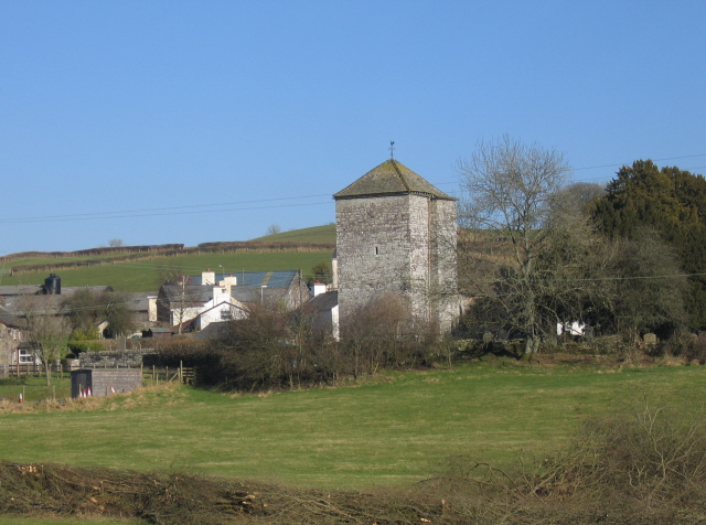
Images are sourced within 2km of 52.009645/-3.554901 or Grid Reference SN9335. Thanks to Geograph Open Source API. All images are credited.

Mynwent Capel Sardis Burial Ground Mynwent Capel y Bedyddwyr Sardis ger Ffarm Blandyryn. Codwyd y capel cyntaf yn 1822 ac fe'i hail-adeiladwyd yn 1914. Yn anffodus caewyd y capel diarffordd hwn yn 1994 a'i ddymchwel yn 1995.

Sardis Baptist Chapel burial ground near Blaendyryn Farm. The first chapel was built in 1822 and later rebuilt in 1914. Sadly, this remote chapel closed in 1994 and demolished in 1995.
Mynwent Capel Sardis Burial Ground
Mynwent Capel y Bedyddwyr Sardis ger Ffarm Blandyryn. Codwyd y capel cyntaf yn 1822 ac fe'i hail-adeiladwyd yn 1914. Yn anffodus caewyd y capel diarffordd hwn yn 1994 a'i ddymchwel yn 1995. Sardis Baptist Chapel burial ground near Blaendyryn Farm. The first chapel was built in 1822 and later rebuilt in 1914. Sadly, this remote chapel closed in 1994 and demolished in 1995.
Capel Sardis Chapel Plac coffaol Sardis, Capel y Bedyddwyr (1822-1994). Dymchwelyd y capel yn 1995.

Sardis Baptist Chapel commemorative plaque (1822-1994). The chapel was demolished in 1995.
Capel Sardis Chapel
Plac coffaol Sardis, Capel y Bedyddwyr (1822-1994). Dymchwelyd y capel yn 1995. Sardis Baptist Chapel commemorative plaque (1822-1994). The chapel was demolished in 1995.
Abernant in Llanfihangel Nant Bran
Treeline alongside Nant Bran
Road bridge over Cwm Llythin
Derelict cottage north west of Llanfihangel Nant Bran
Road bridge over Nant Bran
Entering Llanfihangel Nant Bran from the north west
Road to Pontsenni from Llanfihangel Nant Bran
Residence in Llanfihangel Nant Bran
Ordnance Survey Cut Mark This OS cut mark can be found on the NW angle of St Michael's Church. It marks a point 778.6ft above mean sea level.
Ordnance Survey Cut Mark
This OS cut mark can be found on the NW angle of St Michael's Church. It marks a point 778.6ft above mean sea level.
Capel Bethel / Bethel Chapel Cyn Gapel Bethel, addoldy'r Trefnyddion Calfinaidd. 

The former Bethel CM Chapel.
Capel Bethel / Bethel Chapel
Cyn Gapel Bethel, addoldy'r Trefnyddion Calfinaidd. The former Bethel CM Chapel.
North of Llanfihangel Nant Bran
The Church Tower, Llanfihangel Nant Bran This view of Llanfihangel Nant Bran village is taken from a point close to the road bridge over the Nant Bran to the southwest.
The Church Tower, Llanfihangel Nant Bran
This view of Llanfihangel Nant Bran village is taken from a point close to the road bridge over the Nant Bran to the southwest.
The Cwm Erchan Brook This view shows the minor watercourse draining Cwm Erchan just before its confluence with the Nant Bran.
The Cwm Erchan Brook
This view shows the minor watercourse draining Cwm Erchan just before its confluence with the Nant Bran.
No Go Area The sign with the red flag flying at the entrance to the Sennybridge military training area effectively means no access to the upper Nant Bran valley today.
No Go Area
The sign with the red flag flying at the entrance to the Sennybridge military training area effectively means no access to the upper Nant Bran valley today.
Blaendyryn in the Nant Bran Valley Looking west across the Nant Bran valley past Blaendyryn and the old graveyard towards Maesybeddau Farm in the middle distance on the right.
Blaendyryn in the Nant Bran Valley
Looking west across the Nant Bran valley past Blaendyryn and the old graveyard towards Maesybeddau Farm in the middle distance on the right.
Show me another place!

Allt Rhulan is located at Grid Ref: SN9335 (Lat: 52.009645, Lng: -3.554901)

Unitary Authority: Powys

Police Authority: Dyfed Powys

What 3 Words

///rationed.flickers.bolts. Near Cray, Powys

Nearby Locations

Allt Rhulan Allt y Felin

Related Wikis

Llanfihangel Nant Brân

Llanfihangel Nant Brân is a small village lying next to the Nant Brân river in Powys, Wales about 7.5 miles (12 km) west of Brecon. It is largely a farming...

Pentre-bach, Powys

Pentre-bach (Welsh for "small village") is a hamlet (one of several in Wales with similar names) in Powys, Wales, in the former county and current Shire...

Llandeilo'r-Fan

Llandeilo'r-Fan is a small village located in Powys, Wales. It is located between Llandovery and Brecon. It is very rural and is located in a hilly area...

Sennybridge Training Area

The Sennybridge Training Area (SENTA) is a UK Ministry of Defence military training area near the village of Sennybridge in Powys, Wales. It consists...

Nearby Amenities

Located within 500m of 52.009645,-3.554901
Place: farm
Lat/Long: 52.0097371/-3.548577
Building: yes
Lat/Long: 52.009368/-3.5605081
The data included in this document is from www.openstreetmap.org. The data is made available under ODbL.

Have you been to Allt Rhulan?

Leave your review of Allt Rhulan below (or comments, questions and feedback).