Coed Tynewydd

Wood, Forest in Montgomeryshire

Wales

Coed Tynewydd

The lane to Staylittle
The lane to Staylittle Credit: David Purchase

The requested URL returned error: 429 Too Many Requests

If you have any feedback on the listing, please let us know in the comments section below.

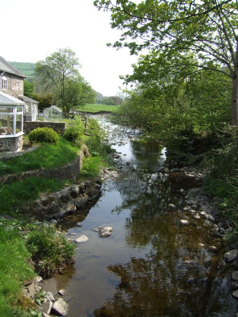
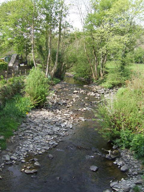
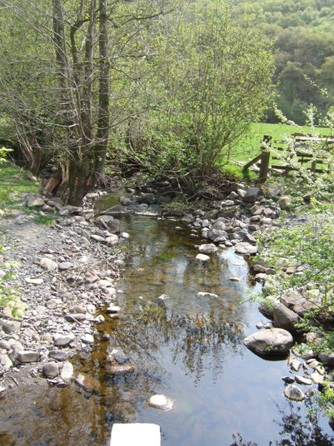
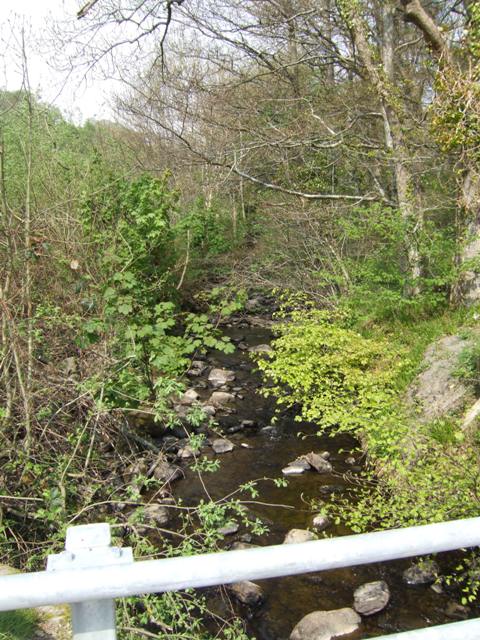
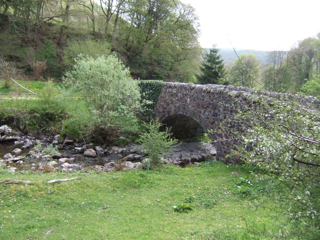
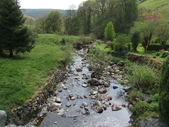
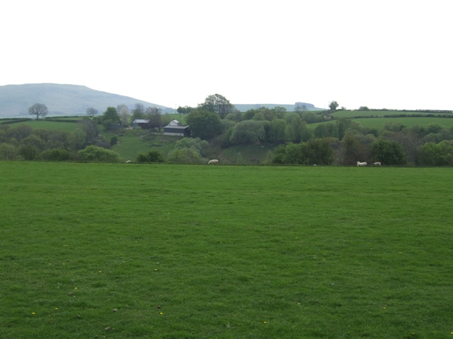
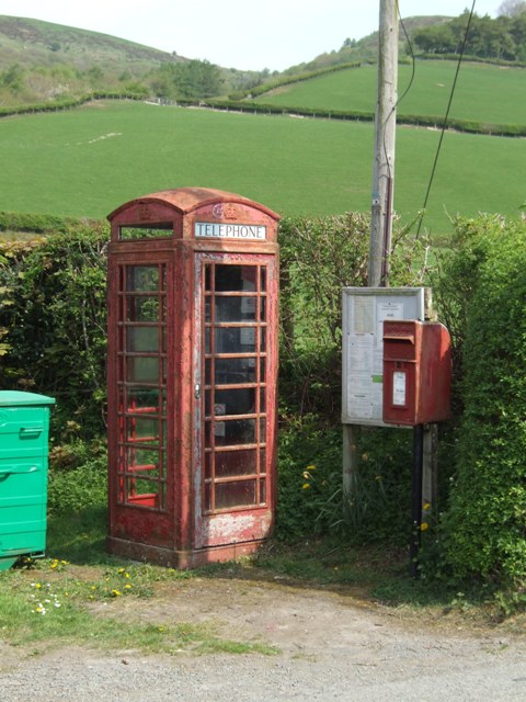
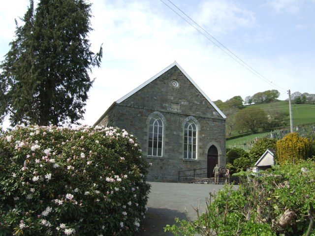
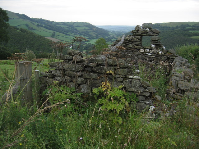
Coed Tynewydd Images

Images are sourced within 2km of 52.509518/-3.593841 or Grid Reference SN9191. Thanks to Geograph Open Source API. All images are credited.

The lane to Staylittle
Afon Trannon downstream at Llawr-y-glyn
Afon Trannon upstream at Llawr-y-glyn
School in Llawr-y-glyn Opened in 1909.
School in Llawr-y-glyn
Opened in 1909.
Afon Trannon downstream at Gwernafon
Afon Trannon upstream at Gwernafon
Pont Nant Ysgwiliwch Afon Trannon.
Pont Nant Ysgwiliwch
Afon Trannon.
View downstream at Pont Nant Ysgwiliwch Afon Trannon.
View downstream at Pont Nant Ysgwiliwch
Afon Trannon.
Valley of Nant Ysgiliwch
Crossing the road near Mynydd Dyrnol
Downstream on the Trawsnant A tributary of the Afon Trannon.
Downstream on the Trawsnant
A tributary of the Afon Trannon.
Telephone and Post Boxes A draughty example in the hills beside the Afon Trannon.
Telephone and Post Boxes
A draughty example in the hills beside the Afon Trannon.
Chapel in Llawr-y-glyn
Across the valley of the Trawsnant Looking towards the edge of the forestry with the Trannon windfarm dominating the horizon.
Across the valley of the Trawsnant
Looking towards the edge of the forestry with the Trannon windfarm dominating the horizon.
Entering the forestry
Ruin, above Llawer y Glyn Llawer y glyn valley beyond.
Ruin, above Llawer y Glyn
Llawer y glyn valley beyond.
Welsh Ride Thing Wild Camp 2 on the 2014 WRT  
<span class="nowrap"><a title="http://www.bearbonesbikepacking.co.uk/" rel="nofollow ugc noopener" href="http://www.bearbonesbikepacking.co.uk/">Link</a><img style="margin-left:2px;" alt="External link" title="External link - shift click to open in new window" src="https://s1.geograph.org.uk/img/external.png" width="10" height="10"/></span>
Welsh Ride Thing
Wild Camp 2 on the 2014 WRT LinkExternal link
Show me another place!

Coed Tynewydd is located at Grid Ref: SN9191 (Lat: 52.509518, Lng: -3.593841)

Unitary Authority: Powys

Police Authority: Dyfed Powys

What 3 Words

///addicted.unframed.pancakes. Near Staylittle, Powys

Related Wikis

Llawryglyn

Llawr y Glyn (or Llawryglyn) is a hamlet in Powys, Wales. It lies about 10 miles west of the town of Newtown, in the historic county of Montgomeryshire...

Staylittle

Staylittle (Welsh: Penffordd-las), sometimes referred to colloquially as Y Stay or Y Stae, is a small village set in the shallow upland basin of the Afon...
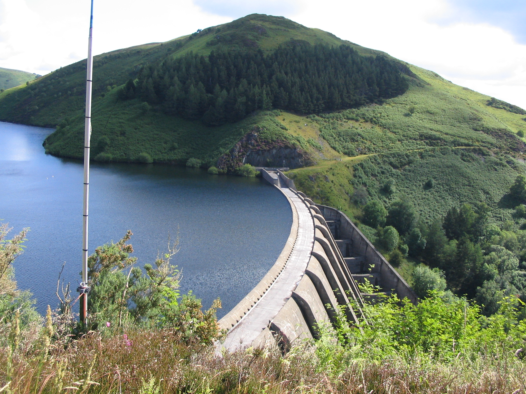
Clywedog Reservoir

The Clywedog Reservoir (Welsh: Llyn Clywedog) is a reservoir near Llanidloes, Wales on the head-waters of the River Severn. The construction of the reservoir...

Carno wind farm

Carno is a wind farm of 68 turbines which started operation in October 1996. It covers an area of over 600 hectares on Trannon Moor, a plateau to the west...

Nearby Amenities

Located within 500m of 52.509518,-3.593841
Passing Place
Lat/Long: 52.5111319/-3.6003873
Man Made: utility_pole
Lat/Long: 52.5110182/-3.5960893
The data included in this document is from www.openstreetmap.org. The data is made available under ODbL.

Have you been to Coed Tynewydd?

Leave your review of Coed Tynewydd below (or comments, questions and feedback).