Buryas Br

Settlement in Cornwall

England

Buryas Br

Drift : Road A road off the A30.
Drift : Road Credit: Lewis Clarke

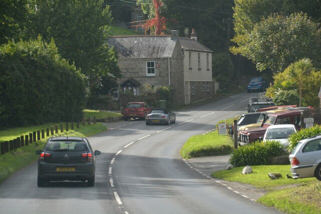
Buryas Bridge is a small village located in the Penwith district of Cornwall, England. Situated approximately 7 miles southwest of Penzance, it is nestled in the beautiful countryside of west Cornwall. The village is primarily residential, with a population of around 250 people.

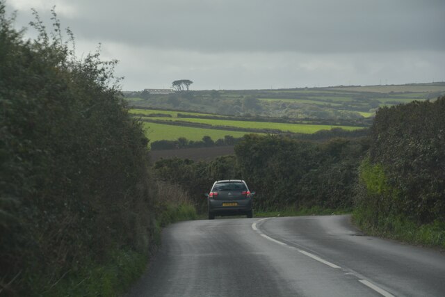
Buryas Bridge is known for its picturesque surroundings, with rolling hills, meandering streams, and lush green fields. The area is dotted with traditional Cornish stone cottages and charming gardens, adding to its idyllic charm. The village is surrounded by farmland, which is mainly used for agriculture and grazing livestock.

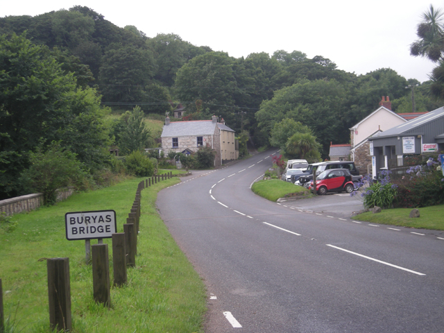
One of the notable features of Buryas Bridge is its bridge, which spans the Buryas River, giving the village its name. The bridge, dating back to the 18th century, is a Grade II listed structure and is a prominent landmark in the area.

Although small, Buryas Bridge offers a close-knit community atmosphere and a peaceful way of life. There are limited amenities within the immediate village, with a local pub and a few shops nearby. However, larger towns like Penzance are within easy reach for more extensive facilities and services.

The village is also well-positioned for exploring the natural beauty of Cornwall, with the stunning coastline just a short drive away. Visitors and residents alike can enjoy walks along the coastal paths, explore nearby landmarks such as St. Michael's Mount, or simply take in the tranquility of the countryside.

In summary, Buryas Bridge is a charming village in Cornwall, offering a peaceful rural setting and easy access to the natural beauty of the surrounding area.

If you have any feedback on the listing, please let us know in the comments section below.
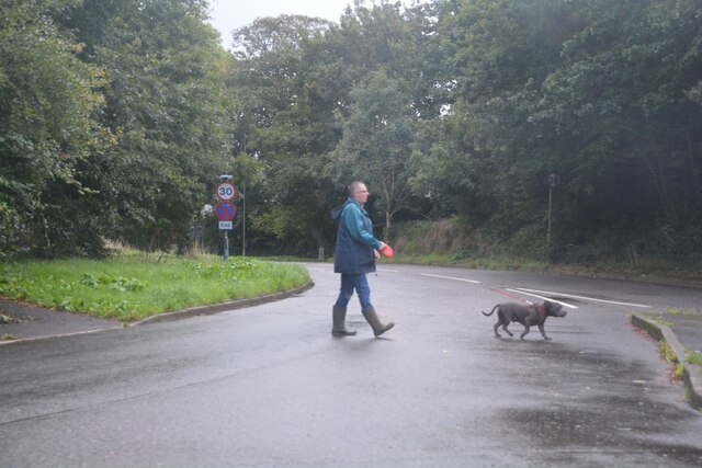
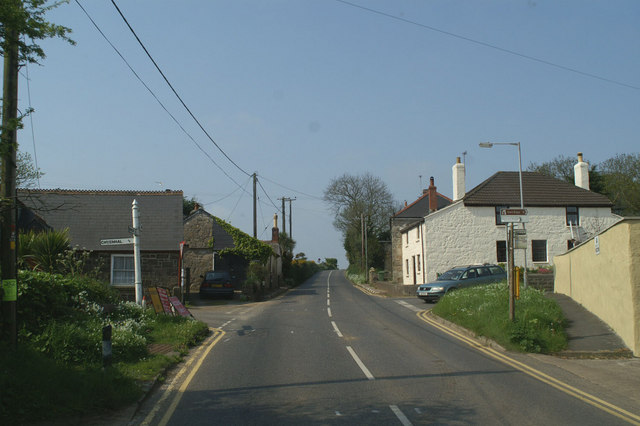
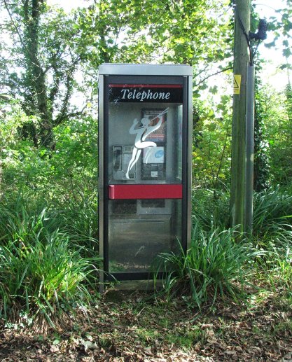
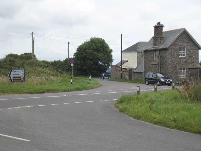
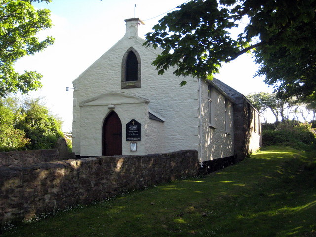
Buryas Br Images

Images are sourced within 2km of 50.105783/-5.5815855 or Grid Reference SW4429. Thanks to Geograph Open Source API. All images are credited.

Drift : Road A road off the A30.
Drift : Road
A road off the A30.
Drift : Westways A house off the A30.
Drift : Westways
A house off the A30.
Drift : A30 Looking along the A30.
Drift : A30
Looking along the A30.
Drift : A30 The A30 seen at the junction from Penzance Road.
Drift : A30
The A30 seen at the junction from Penzance Road.
Drift : Driveway A driveway off Penzance Road.
Drift : Driveway
A driveway off Penzance Road.
Sancreed : A30 The road twists around the countryside.
Sancreed : A30
The road twists around the countryside.
Drift : A30 Looking along the A30.
Drift : A30
Looking along the A30.
Drift : A30 Looking along the A30.
Drift : A30
Looking along the A30.
Drift : A30 Heading along the A30.
Drift : A30
Heading along the A30.
Buryas Bridge : A30 Looking along the A30.
Buryas Bridge : A30
Looking along the A30.
Newlyn : A30 Looking along the A30.
Newlyn : A30
Looking along the A30.
Penzance : Newlyn - The Coombe B3315 Looking along the road.
Penzance : Newlyn - The Coombe B3315
Looking along the road.
Penzance : A30 Looking along the A30.
Penzance : A30
Looking along the A30.
Penzance : Alverton Road Looking along Alverton Road from the roundabout.
Penzance : Alverton Road
Looking along Alverton Road from the roundabout.
Drift Methodist Church
The road into Sancreed Spring flowers are blooming on the grass verge at the approach to Sancreed village.
The road into Sancreed
Spring flowers are blooming on the grass verge at the approach to Sancreed village.
Steps into the churchyard at Sancreed The flight of steps and gate into the churchyard, over-arched by the camellia which begins to bloom in December and is still going strong in March.
Steps into the churchyard at Sancreed
The flight of steps and gate into the churchyard, over-arched by the camellia which begins to bloom in December and is still going strong in March.
Chyenhal Moor Chyenhal Moor is actually quite marshy and is classified SSSI.
Chyenhal Moor
Chyenhal Moor is actually quite marshy and is classified SSSI.
Show me another place!

Buryas Br is located at Grid Ref: SW4429 (Lat: 50.105783, Lng: -5.5815855)

Unitary Authority: Cornwall

Police Authority: Devon and Cornwall

What 3 Words

///dragging.final.trinkets. Near Penzance, Cornwall

Related Wikis

Buryas Bridge

Buryas Bridge is a hamlet on the A30 between Land's End and Penzance in west Cornwall, England, UK. == History == The hamlet and bridge are on the modern...

Drift, Cornwall

Drift is a village on the A30 road in west Cornwall, England, United Kingdom. The village is in the civil parish of Sancreed and is approximately two...
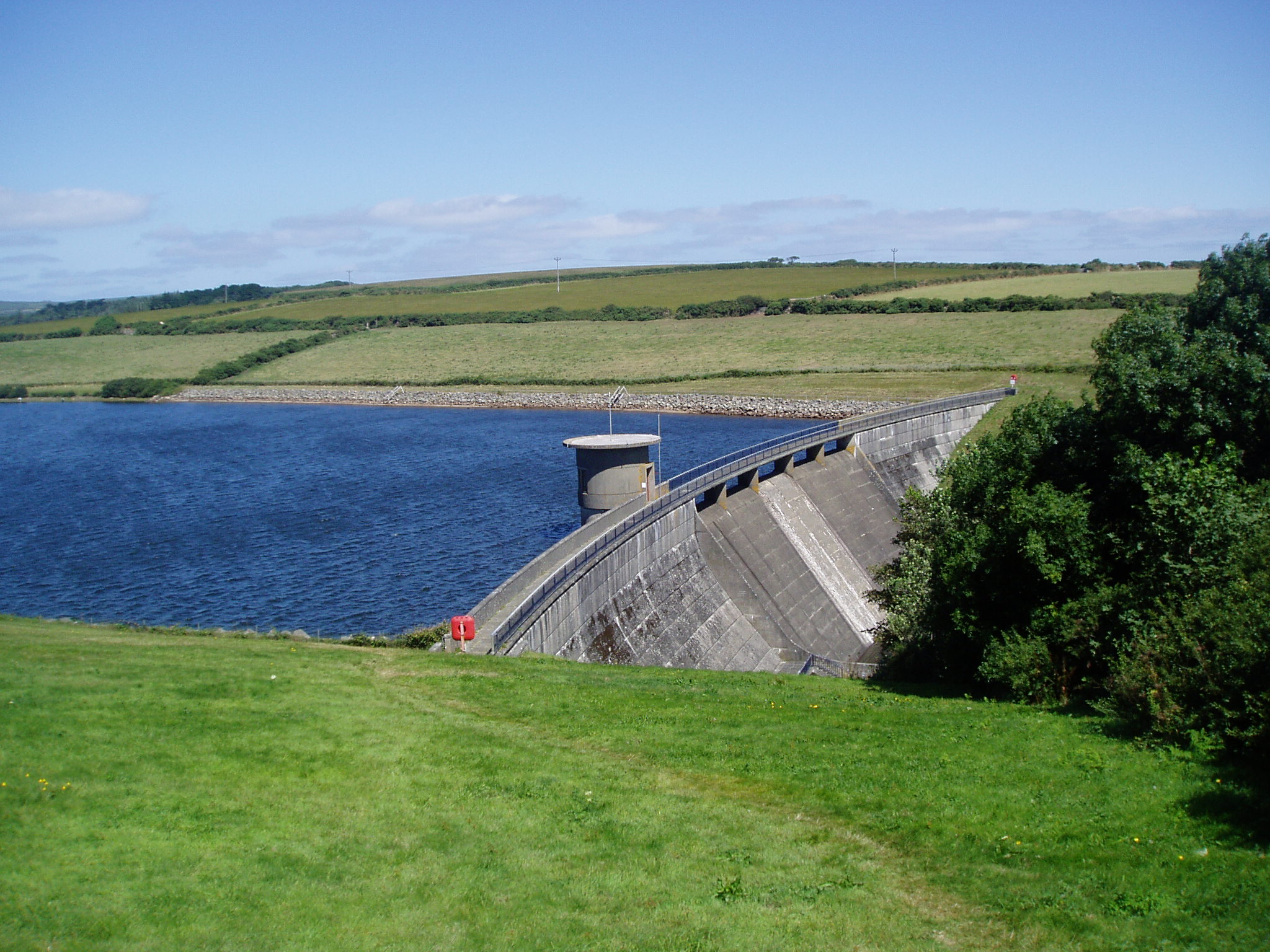
Drift Reservoir

Drift Reservoir is a reservoir in Cornwall, England, UK, just north of the village of Drift and west of Penzance. The reservoir is 1,200 yards (1,100 m...

Tregavarah

Tregavarah (Cornish: Tregoverow, meaning farm of streams, grid reference SW445298) is a small hamlet in the parish of Madron in west Cornwall, England...

Chyenhal Moor

Chyenhal Moor is a poorly drained shallow valley, 2 miles (3.2 km) to the south-west of Penzance, Cornwall. Due to several rare plants in a diverse range...

Trereife House

Trereife House (pronounced Treeve) is a grade II* listed manor house located west of the town of Penzance in Cornwall, England, UK. The house was built...

Tremethick Cross

Tremethick Cross (from Cornish: Tre'nmedhek) is a hamlet around a crossroads in the parish of Madron, in west Cornwall, United Kingdom. Between 1863 and...

Tredavoe

Tredavoe (Cornish: Trewordhavow) is a hamlet west of Newlyn in Cornwall, England, United Kingdom. == References == == External links == Media related...

Nearby Amenities

Located within 500m of 50.105783,-5.5815855
Lower Drift
Is In: Cornwall, England, UK
Is In Country: England
Is In Country Code: GB
Is In County: Cornwall
Name Kw: An Drev
Place: village
Source: npe
Lat/Long: 50.1019572/-5.5822598
Bus Stop
Elstree
Naptan AtcoCode: 0800COD40115
Naptan Bearing: NE
Naptan CommonName: Elstree
Naptan NaptanCode: coradjwg
Naptan Street: A30
Naptan Verified: no
Source: naptan_import
Lat/Long: 50.1017731/-5.5822939
Post Box
Collection Times: Mo-Fr 12:00; Sa 12:00
Operator: Royal Mail
Post Box Type: wall
Ref: TR19 58
Royal Cypher: EIIR
Royal Cypher Wikidata: Q33102113
Source: survey
Survey Date: 2017-10-24
Lat/Long: 50.1023925/-5.5815429
Disused Shop: yes
Lat/Long: 50.1024633/-5.5815073
Power: pole
Lat/Long: 50.1081392/-5.5858129
Power: pole
Lat/Long: 50.1071105/-5.5851021
Power: pole
Lat/Long: 50.1060869/-5.5842733
Power: pole
Lat/Long: 50.1053506/-5.5837315
Power: pole
Lat/Long: 50.1047193/-5.5832166
Power: pole
Lat/Long: 50.1029163/-5.5849707
Power: pole
Lat/Long: 50.1048366/-5.5833122
Boat Rental
Lat/Long: 50.1044438/-5.5870327
Rest Area
Lat/Long: 50.1037293/-5.5865182
Lower Drift Cross
Description: Historic Stone
Historic: stone
Website: https://m.megalithic.co.uk/article.php?sid=46041
Lat/Long: 50.1035796/-5.5848573
Lower Drift Cross
Historic: stone
Website: https://m.megalithic.co.uk/article.php?sid=46041
Lat/Long: 50.1036102/-5.5849261
Power: pole
Transformer: distribution
Lat/Long: 50.1018755/-5.5816448
Power: pole
Lat/Long: 50.1020664/-5.5807114
Power: pole
Lat/Long: 50.1022746/-5.5797538
Power: pole
Lat/Long: 50.1025292/-5.5784744
Power: pole
Transformer: distribution
Lat/Long: 50.1027563/-5.5775061
Power: pole
Lat/Long: 50.1029972/-5.5761623
Power: pole
Transformer: distribution
Lat/Long: 50.1080531/-5.576039
Power: substation
Voltage: 11000
Lat/Long: 50.1027589/-5.5833466
The data included in this document is from www.openstreetmap.org. The data is made available under ODbL.

Have you been to Buryas Br?

Leave your review of Buryas Br below (or comments, questions and feedback).