Coed Nadroedd
Wood, Forest in Merionethshire
Wales
Coed Nadroedd

The requested URL returned error: 429 Too Many Requests
If you have any feedback on the listing, please let us know in the comments section below.
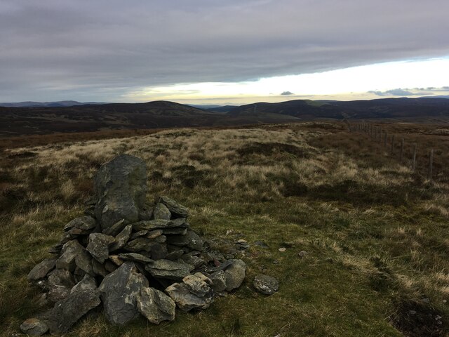
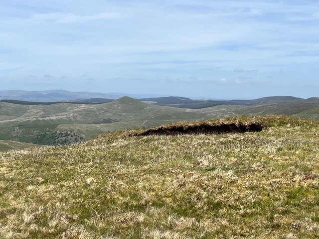
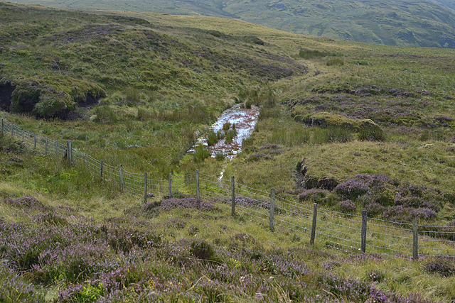
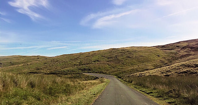
Coed Nadroedd Images
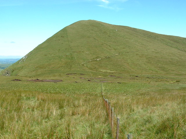
Images are sourced within 2km of 52.812474/-3.6177829 or Grid Reference SH9125. Thanks to Geograph Open Source API. All images are credited.


Coed Nadroedd is located at Grid Ref: SH9125 (Lat: 52.812474, Lng: -3.6177829)
Unitary Authority: Gwynedd
Police Authority: North Wales
What 3 Words
///political.starting.gratitude. Near Llanuwchllyn, Gwynedd
Nearby Locations
Related Wikis

Bwlch y Groes
Bwlch y Groes (translates from Welsh as pass of the cross) is the second highest public road mountain pass in Wales, with a summit altitude of 545 metres...
Esgeiriau Gwynion
Esgeiriau Gwynion (Welsh for "white shanks") is a mountain in north Wales. It is the smallest of the three Marilyns that form the Aran range, the others...

Meirionnydd Nant Conwy (UK Parliament constituency)
Meirionnydd Nant Conwy was a constituency represented in the House of Commons of the Parliament of the United Kingdom. It elected one Member of Parliament...

Foel y Geifr
Foel y Geifr is a subsidiary summit of Esgeiriau Gwynion, and included in a group of hills known as the Hirnantau. These hills rise from the south east...
Nearby Amenities
Located within 500m of 52.812474,-3.6177829Have you been to Coed Nadroedd?
Leave your review of Coed Nadroedd below (or comments, questions and feedback).