Bury
Settlement in Lancashire
England
Bury
Bury is a town located in the county of Lancashire, England. Situated in the Greater Manchester region, it lies approximately 8.9 miles north-northwest of Manchester city center. Bury has a population of around 78,000 people, making it the largest town in the Metropolitan Borough of Bury.
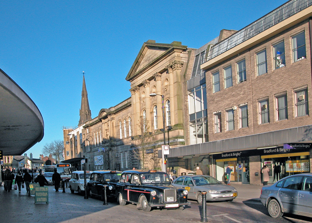
The town has a rich history dating back to the medieval era, with evidence of settlements in the area since Roman times. Bury became an important market town during the Industrial Revolution, known for its textile industry, particularly cotton spinning and weaving. The legacy of this era can still be seen in the town's iconic architecture, including the imposing Bury Parish Church and the elegant Town Hall.
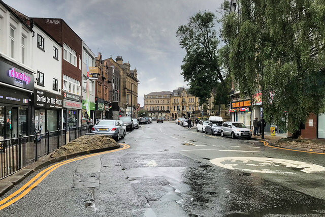
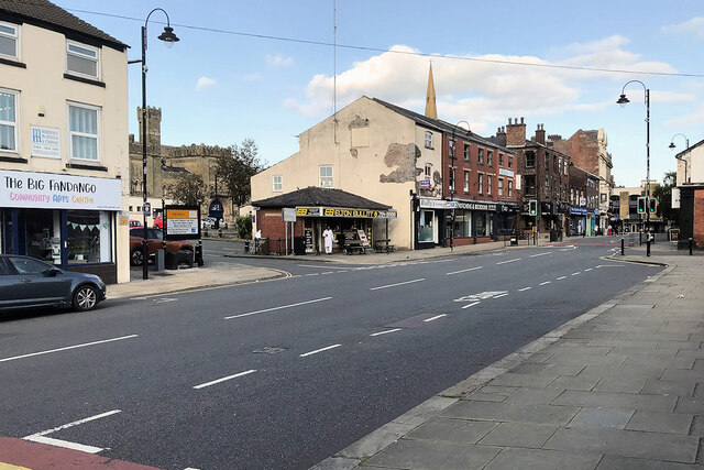
Bury is renowned for its open-air market, which has been in operation for over 600 years. The market takes place every Wednesday, Friday, and Saturday, attracting visitors from across the region. It offers a wide range of goods, including fresh produce, clothing, household items, and crafts.
The town is also home to several cultural and historical landmarks, such as the Bury Art Museum and Sculpture Centre, showcasing a collection of fine art and contemporary sculpture. Bury also hosts the East Lancashire Railway, a heritage railway line that connects the town with nearby destinations, offering nostalgic steam train rides for visitors.
Bury enjoys a vibrant local community with various recreational facilities, including parks, sports clubs, and leisure centers. The town is well-connected to the larger cities in the area, with easy access to Manchester and other neighboring towns via road and public transportation. Overall, Bury combines its rich history with modern amenities, making it a thriving and attractive place to live, work, and visit.
If you have any feedback on the listing, please let us know in the comments section below.
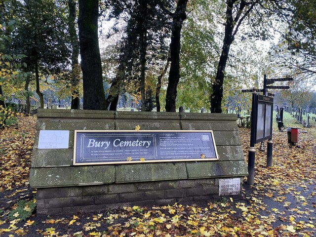
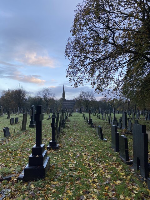
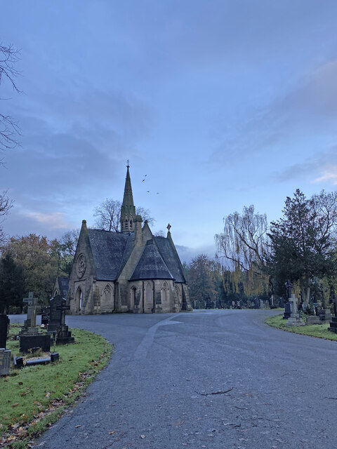
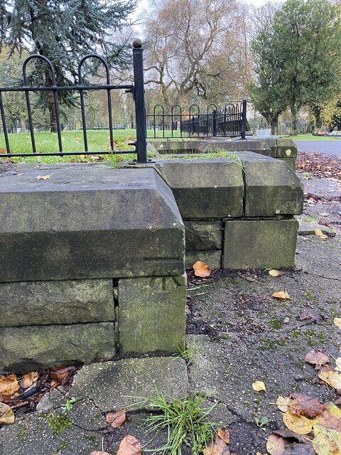
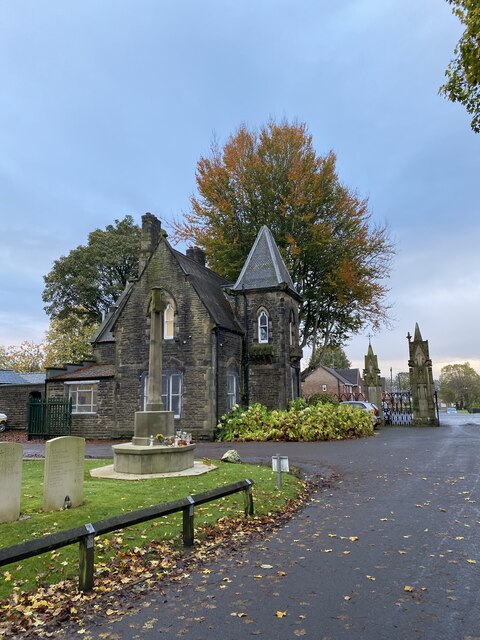
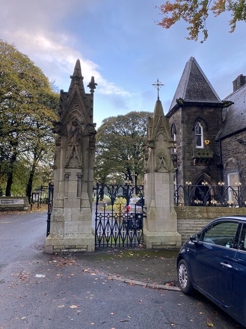
Bury Images
Images are sourced within 2km of 53.592692/-2.2987701 or Grid Reference SD8010. Thanks to Geograph Open Source API. All images are credited.

Bury is located at Grid Ref: SD8010 (Lat: 53.592692, Lng: -2.2987701)
Unitary Authority: Bury
Police Authority: Greater Manchester
What 3 Words
///sprint.boss.invite. Near Bury, Manchester
Nearby Locations
Related Wikis

Bury Rural District
Bury was a rural district in Lancashire, England from its establishment in 1894 under the Local Government Act 1894, until its abolition in 1933. The...

Metropolitan Borough of Bury
The Metropolitan Borough of Bury is a metropolitan borough of Greater Manchester in England. It is north of Manchester, to the east of Bolton and west...
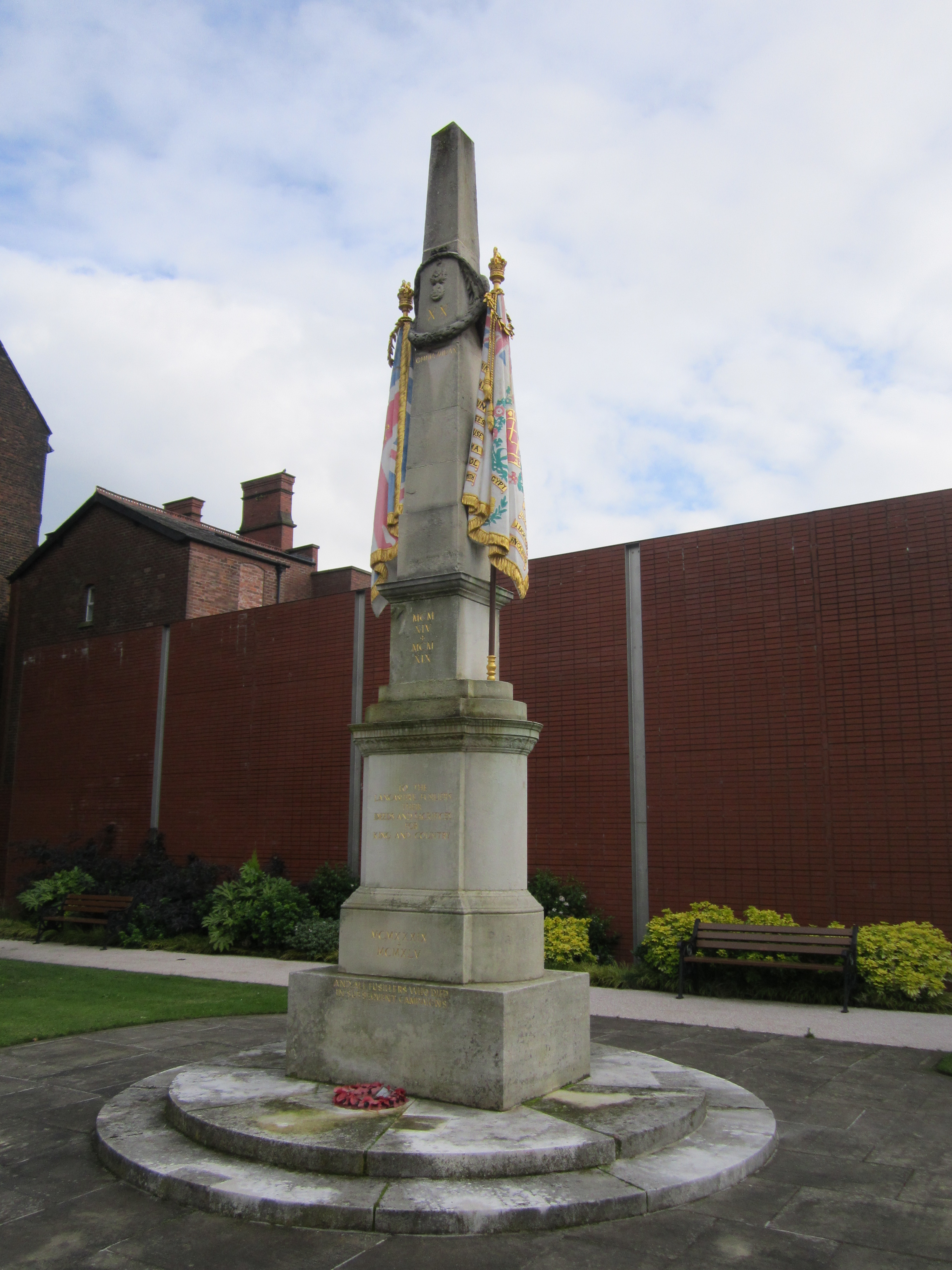
Lancashire Fusiliers War Memorial
The Lancashire Fusiliers War Memorial is a First World War memorial dedicated to members of the Lancashire Fusiliers killed in that conflict. Outside the...

Bury, Greater Manchester
Bury (, ) is a market town on the River Irwell in the Metropolitan Borough of Bury, Greater Manchester, England. which had a population of 81,101 in 2021...

Bury Bolton Street railway station
Bury Bolton Street railway station is a heritage railway station in Bury, Greater Manchester, England. Located on the East Lancashire Railway. == History... ==
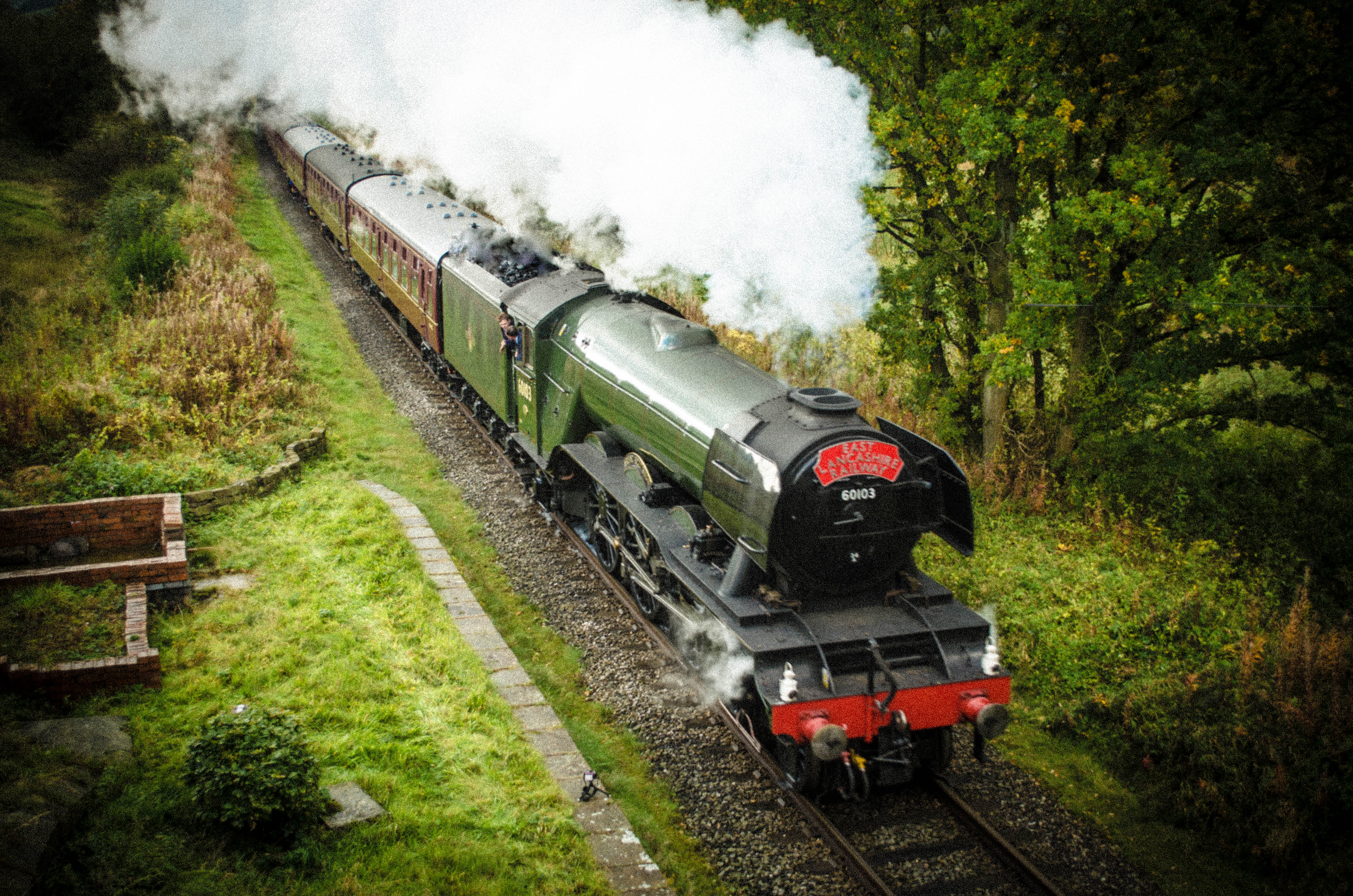
East Lancashire Railway
East Lancashire Railway is a 12.5-mile (20 km) heritage railway line in North West England which runs between Heywood, Greater Manchester and Rawtenstall...
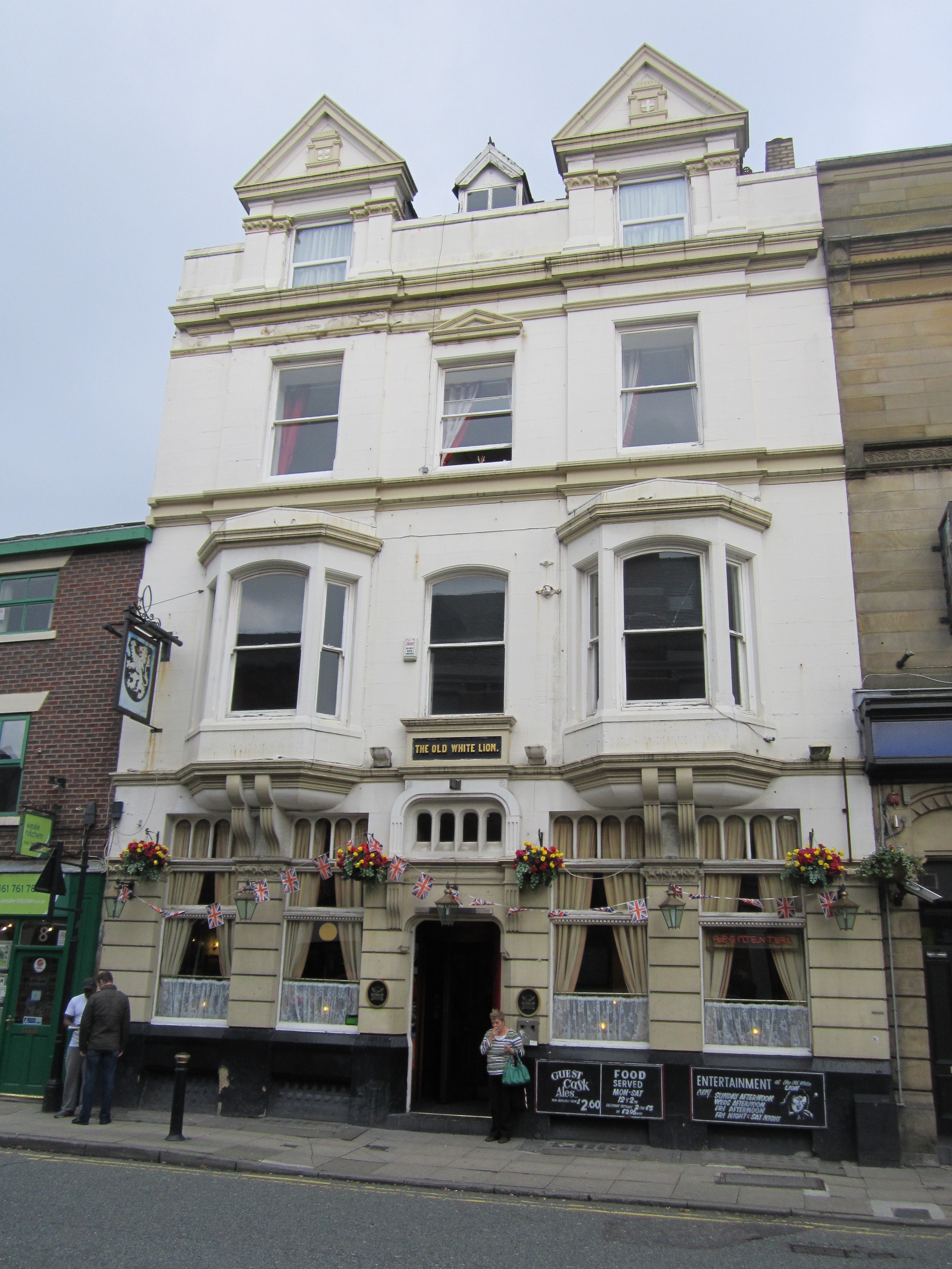
Old White Lion, Bury
The Old White Lion is a public house at 6 Bolton Street, Bury, Greater Manchester BL9 0LQ. It is on the Campaign for Real Ale's National Inventory of Historic...
The Met (arts centre)
The Met (popularly known as Bury Met) is a performing arts venue in Bury, Greater Manchester, England. It consists of two theatre spaces (Derby Hall and...
Nearby Amenities
Located within 500m of 53.592692,-2.2987701Have you been to Bury?
Leave your review of Bury below (or comments, questions and feedback).