Coed Glanllyn
Wood, Forest in Merionethshire
Wales
Coed Glanllyn

The requested URL returned error: 429 Too Many Requests
If you have any feedback on the listing, please let us know in the comments section below.
Coed Glanllyn Images
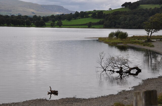
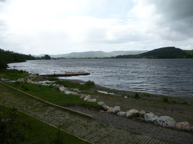
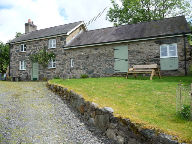
Images are sourced within 2km of 52.873935/-3.6579894 or Grid Reference SH8832. Thanks to Geograph Open Source API. All images are credited.


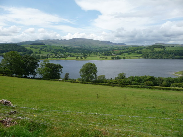


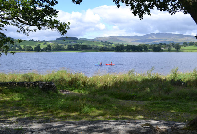


Coed Glanllyn is located at Grid Ref: SH8832 (Lat: 52.873935, Lng: -3.6579894)
Unitary Authority: Gwynedd
Police Authority: North Wales
What 3 Words
///blurred.than.streak. Near Llanuwchllyn, Gwynedd
Nearby Locations
Related Wikis

Afon Llafar (Dee)
For the river which flows into the River Ogwen see Afon Llafar.The Afon Llafar is a small river in North Wales which, rising on the eastern slopes of Arenig...
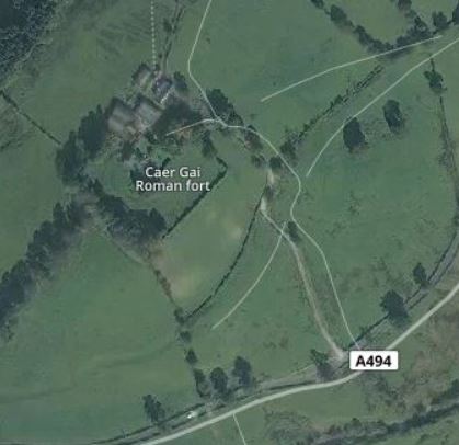
Caer Gai
Caer Gai (also Caer-gai) is a Grade II listed Roman fort in the district of Penllyn, Gwynedd, Wales, UK. It is located about 1 mile or 1.6 km north of...
Pentrepiod Halt railway station (Gwynedd)
Pentrepiod ([pɛntrəˈpiːɔd] - 'Magpie Village') railway station is a small unstaffed railway halt on the Bala Lake Railway alongside the B4403. Trains will...
Glan Llyn Halt railway station
Glan Llyn Halt in Gwynedd, Wales, was a railway halt on the Ruabon to Barmouth line on the south shore of Bala Lake, and is a limited-use station on the...
Nearby Amenities
Located within 500m of 52.873935,-3.6579894Have you been to Coed Glanllyn?
Leave your review of Coed Glanllyn below (or comments, questions and feedback).