Broad Coppice

Wood, Forest in Montgomeryshire

Wales

Broad Coppice

Cwm Nant Heli Viewed from Bwlch Glynmynydd.
Cwm Nant Heli Credit: John Lucas

Broad Coppice is a picturesque woodland located in the county of Montgomeryshire in Wales. Covering an area of approximately 100 acres, the forest is known for its diverse range of tree species and tranquil atmosphere. It is situated in a rural area, away from the hustle and bustle of city life, making it a popular destination for nature lovers and those seeking a peaceful retreat.

The woodland is primarily composed of broadleaf trees, including oak, beech, ash, and birch. These trees provide a rich habitat for a variety of wildlife, such as birds, squirrels, and deer. The forest floor is adorned with an array of wildflowers and ferns, creating a vibrant and enchanting landscape.

Broad Coppice offers several walking trails, allowing visitors to explore the woodland and immerse themselves in nature. The paths are well-maintained and offer different levels of difficulty, catering to both casual strollers and more adventurous hikers. Along the trails, there are strategically placed benches where visitors can rest and take in the peaceful surroundings.

In addition to its natural beauty, Broad Coppice also has historical significance. The woodland has been managed sustainably for centuries, and remnants of ancient coppicing techniques can still be seen today. This traditional method of woodland management involves periodically cutting down trees to encourage new growth, providing a sustainable source of timber.

Overall, Broad Coppice is a hidden gem in Montgomeryshire. Its diverse ecosystem, tranquil atmosphere, and historical importance make it a must-visit destination for nature enthusiasts and those seeking a peaceful escape.

If you have any feedback on the listing, please let us know in the comments section below.

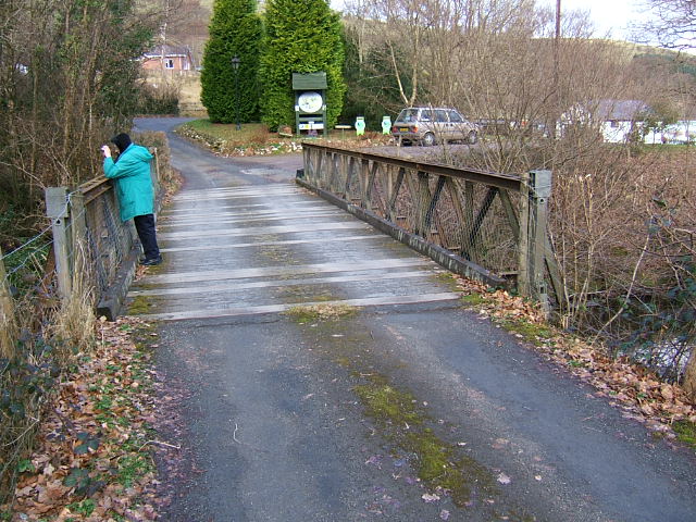
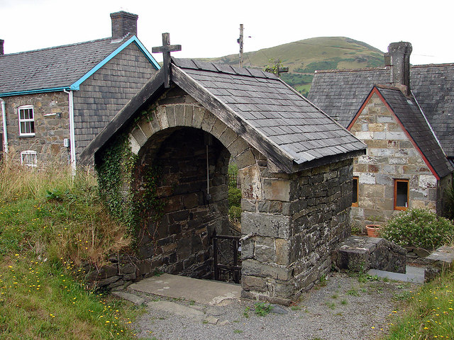
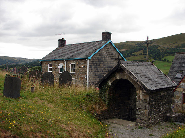
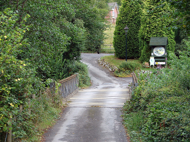
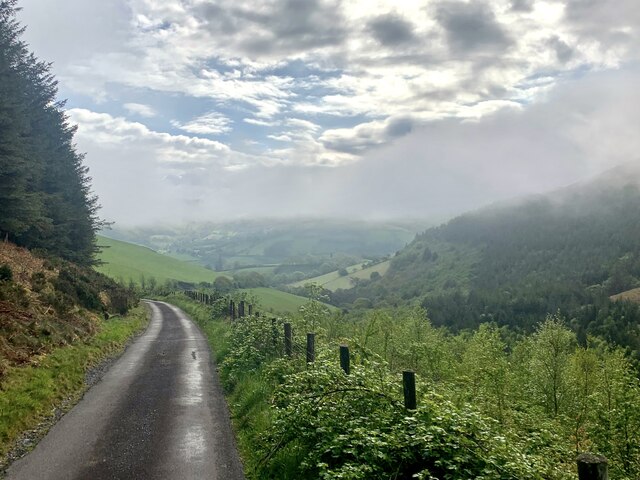
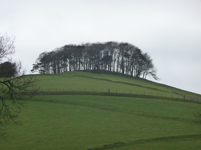
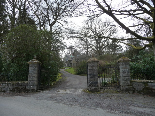
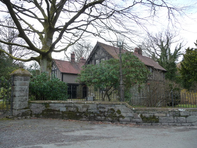
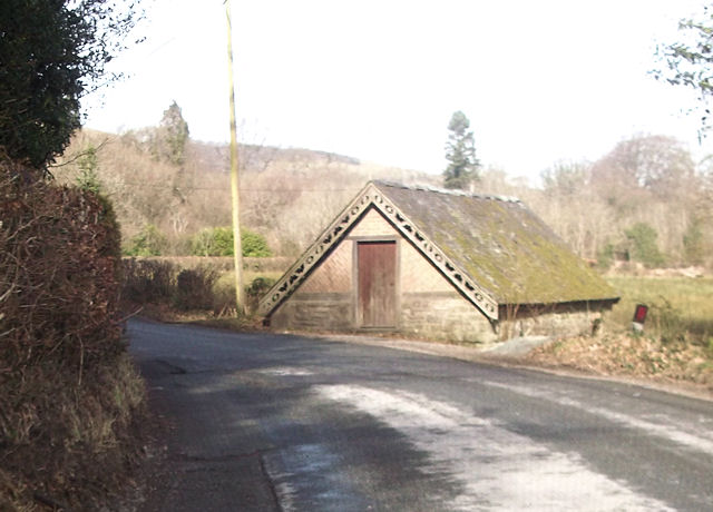
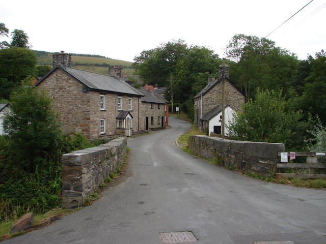
Broad Coppice Images

Images are sourced within 2km of 52.592272/-3.6552024 or Grid Reference SH8700. Thanks to Geograph Open Source API. All images are credited.
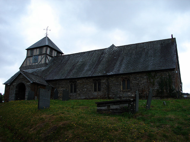
Cwm Nant Heli Viewed from Bwlch Glynmynydd.
Cwm Nant Heli
Viewed from Bwlch Glynmynydd.
Bailey bridge across the Afon Twymyn Entrance to the Cringoed Holiday Park from B4518
Bailey bridge across the Afon Twymyn
Entrance to the Cringoed Holiday Park from B4518
Village church lychgate At Llan St Mary's Church.
Village church lychgate
At Llan St Mary's Church.
St Mary's Church, Llan A church is thought to have been established here in the 6th Century and dedicated to St Mary in the 12th Century. The current building dates from the 15th Century.
St Mary's Church, Llan
A church is thought to have been established here in the 6th Century and dedicated to St Mary in the 12th Century. The current building dates from the 15th Century.
The graveyard of St Mary's, Llan With Craig yr Pit [hill] in the distance.
The graveyard of St Mary's, Llan
With Craig yr Pit [hill] in the distance.
Graveyard and lychgate, St Mary's, Llan
Entering Bont y Green between Llan and Llanbrynmair Access to Cringoed Holiday Park (tents and caravans) is on the right.
Entering Bont y Green between Llan and Llanbrynmair
Access to Cringoed Holiday Park (tents and caravans) is on the right.
Nant Heli Early morning mist rising on the way down to Bont Dolgadfan.
Nant Heli
Early morning mist rising on the way down to Bont Dolgadfan.
B4518 south of Llanbrynmair
B4518 near Pennant
B4518 near Pennant
Stand of trees on a hill near Dolgadfan farm A landscape feature that I do not see often enough; a stand of deciduous trees crowning a rounded hill.

Reminiscent of a silk-screen print that I did for A Level art a long time ago....
Stand of trees on a hill near Dolgadfan farm
A landscape feature that I do not see often enough; a stand of deciduous trees crowning a rounded hill. Reminiscent of a silk-screen print that I did for A Level art a long time ago....
Gateway of Plas Llwyn Owen An impressive house. I believe it was the home of a High Sheriff of the county at around the turn of the 20th century.
Gateway of Plas Llwyn Owen
An impressive house. I believe it was the home of a High Sheriff of the county at around the turn of the 20th century.
Old lodge building at Plas Llwyn Owen The faded glories of this estate are partially obstructed by trees today, but I expect that 100 years or so ago the whole estate was in a state of very high presentation.
Old lodge building at Plas Llwyn Owen
The faded glories of this estate are partially obstructed by trees today, but I expect that 100 years or so ago the whole estate was in a state of very high presentation.
Old building at junction for Pont Dolgadfan From B4518. The lane by the building enters Pont Dolgadfan from the south
Old building at junction for Pont Dolgadfan
From B4518. The lane by the building enters Pont Dolgadfan from the south
Bont Dolgadfan This bridge carries a minor road, between Dolgadfan and Talerddig, across Afon Twymyn. It is just over two miles from Llanbrynmair.
Bont Dolgadfan
This bridge carries a minor road, between Dolgadfan and Talerddig, across Afon Twymyn. It is just over two miles from Llanbrynmair.
Bont Dolgadfan Another view of the ancient bridge over Afon Twymyn
Bont Dolgadfan
Another view of the ancient bridge over Afon Twymyn
Tower of the Church of St. Mary, Llan The present church is said to date from the 15th century, possibly earlier. An excellent history can be found here: <span class="nowrap"><a title="https://cpat.org.uk/Archive/churches/montgom/16383.htm" rel="nofollow ugc noopener" href="https://cpat.org.uk/Archive/churches/montgom/16383.htm">Link</a><img style="margin-left:2px;" alt="External link" title="External link - shift click to open in new window" src="https://s1.geograph.org.uk/img/external.png" width="10" height="10"/></span>.
Tower of the Church of St. Mary, Llan
The present church is said to date from the 15th century, possibly earlier. An excellent history can be found here: LinkExternal link.
Bont y Green This bridge carries the B4518 road across Afon Twymyn
Bont y Green
This bridge carries the B4518 road across Afon Twymyn
Show me another place!

Broad Coppice is located at Grid Ref: SH8700 (Lat: 52.592272, Lng: -3.6552024)

Unitary Authority: Powys

Police Authority: Dyfed Powys

What 3 Words

///healers.unfolds.merely. Near Cwm-Llinau, Powys

Nearby Locations

Broad Coppice Cwm Coch

Related Wikis

Llan, Powys

Llan is a village in Powys, Wales, located on the B4518 road to Llanidloes, 1.5 miles (2.4 km) from Llanbrynmair. The parish church of St Mary is located...

Bont Dolgadfan

Bont Dolgadfan is a small village off the B4518 road in Powys, Wales. It is part of the community of Llanbrynmair and forms a community ward for elections...

Domen Fawr, Tafolwern

Domen Fawr, or Tafolwern Castle was a motte-and-bailey castle of the Middle Ages. It is situated in Tafolwern, near Llanbrynmair in Powys. It is registered...

Llanbrynmair

Llanbrynmair or Llanbryn-mair () is a village, community and electoral ward in Montgomeryshire, Powys, on the A470 road between Caersws and Machynlleth...

Llanbrynmair railway station

Llanbrynmair railway station was a railway station on the Newtown and Machynlleth Railway (N&MR) in Mid-Wales, serving the village of Llanbrynmair. After...

Pennant, Powys

Pennant is a small village in Powys, mid Wales located on the B4518 road between Llanbrynmair and Llanidloes.

Dolfach

Dolfach is a village in Powys, Wales, located on the main A470 road between Llanbrynmair and Talerddig. The village's name translates as "small meadow...

Commins Coch

Commins Coch is a small village on the A470 in the county of Powys in Wales. It is part of the Glantwymyn community. Commins Coch is notable for the narrow...

Nearby Amenities

Located within 500m of 52.592272,-3.6552024
Place: farm
Lat/Long: 52.5880862/-3.6557762
Place: farm
Lat/Long: 52.5956605/-3.6530787
Building: yes
Lat/Long: 52.5901598/-3.6562759
Telephone
Booth: K6
Covered: booth
Lat/Long: 52.5932084/-3.6482076
Post Box
Post Box Type: wall
Ref: SY19 504
Royal Cypher: VR
Royal Cypher Wikidata: Q33102356
Lat/Long: 52.5930162/-3.6484249
Llan
Place: village
Wikidata: Q3405935
Wikipedia: en:Llan, Powys
Lat/Long: 52.5928037/-3.6503051
The data included in this document is from www.openstreetmap.org. The data is made available under ODbL.

Have you been to Broad Coppice?

Leave your review of Broad Coppice below (or comments, questions and feedback).