Coed Hendref
Wood, Forest in Merionethshire
Wales
Coed Hendref
The requested URL returned error: 429 Too Many Requests
If you have any feedback on the listing, please let us know in the comments section below.
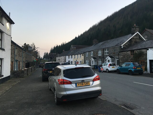
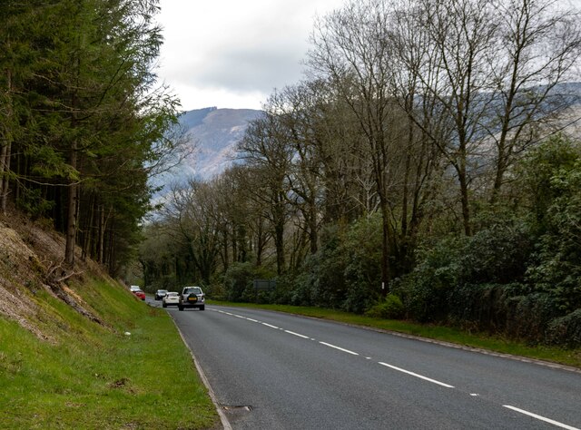
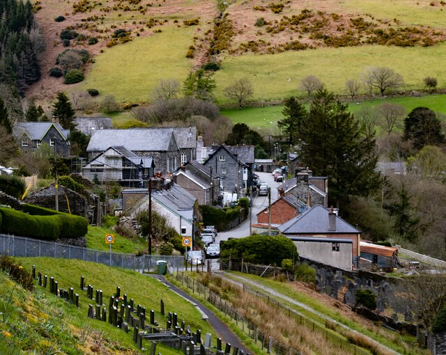
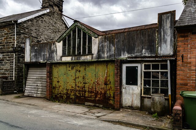
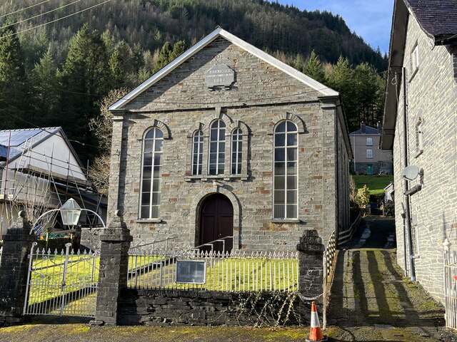
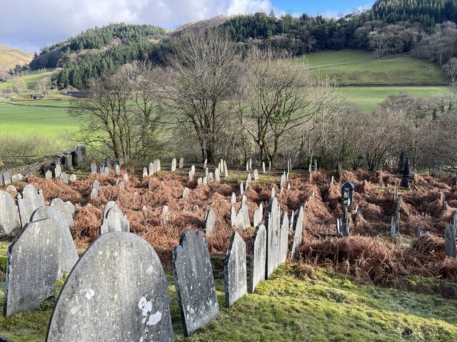
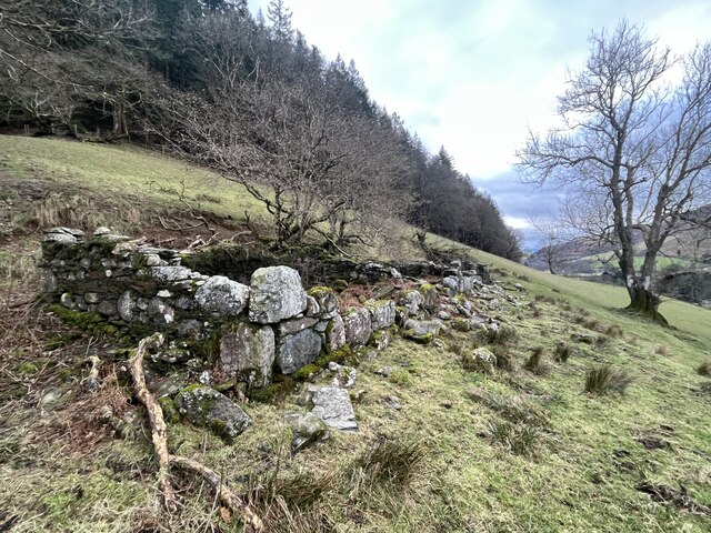
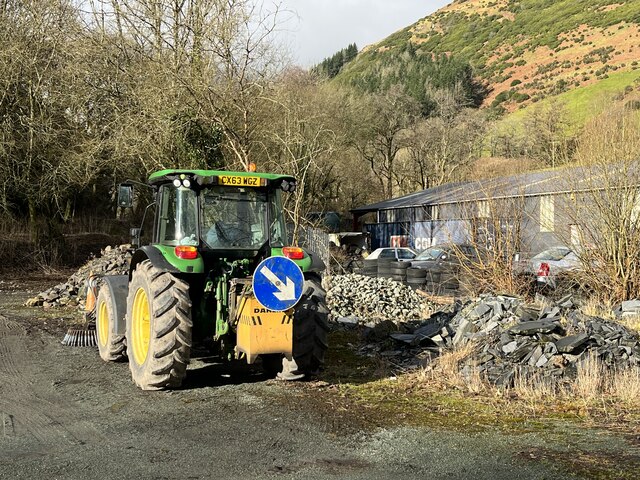
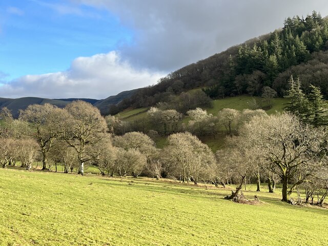
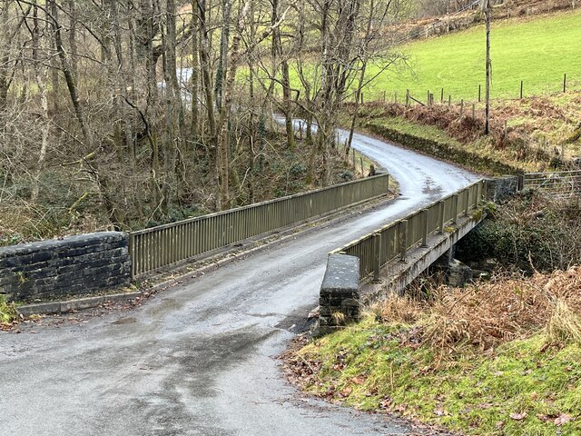
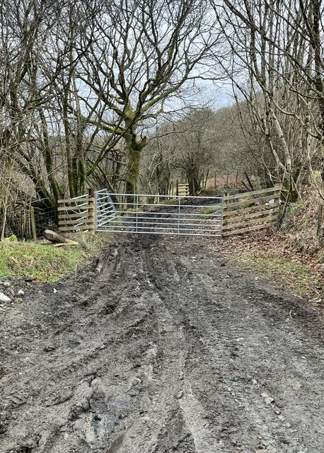
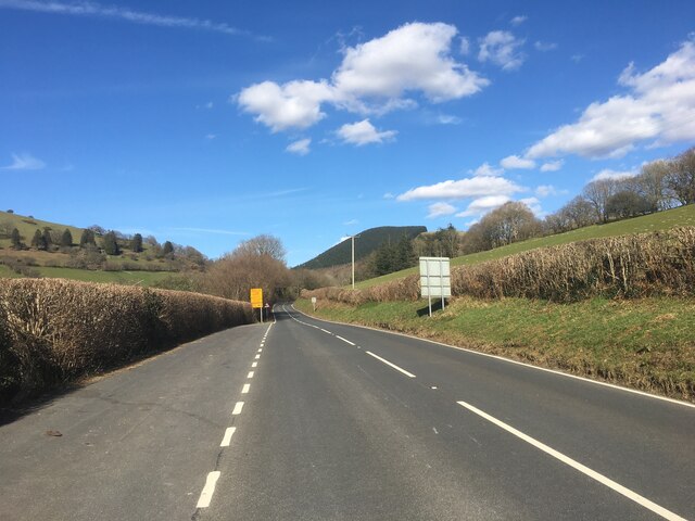
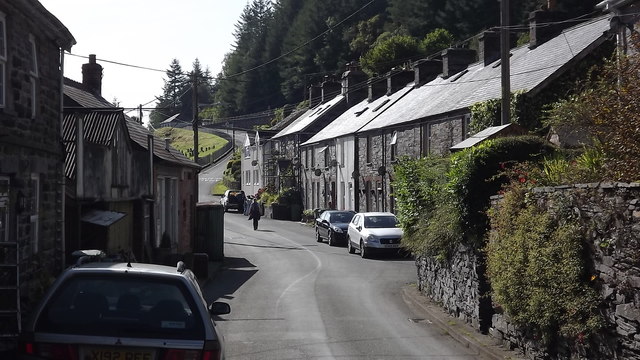
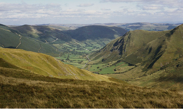
Coed Hendref Images
Images are sourced within 2km of 52.71292/-3.6724093 or Grid Reference SH8714. Thanks to Geograph Open Source API. All images are credited.


Coed Hendref is located at Grid Ref: SH8714 (Lat: 52.71292, Lng: -3.6724093)
Unitary Authority: Gwynedd
Police Authority: North Wales
What 3 Words
///juniors.outhouse.readily. Near Cwm-Llinau, Powys
Nearby Locations
Related Wikis

Pont Minllyn
Pont Minllyn (also known as Pont-y-Ffinant or Pontrusk Bridge) is a bridge spanning the Afon Dyfi, north of the village of Mallwyd, in Gwynedd, Wales....

Meirion Mill Railway
The Meirion Mill Railway was a narrow gauge railway that operated at Meirion Mill in Dinas Mawddwy, Wales. It only operated for three years from 1975 to...
Afon Cerist
The Afon Cerist is a small river that flows from underneath Craig Portas, the cliffs on the north side of Maesglase mountain, to meet the River Dyfi at...

Dinas Mawddwy
Dinas Mawddwy (Welsh pronunciation: [ˈdiːnas mau̯ðʊɨ̯]; ) is a town in the community of Mawddwy in south-east Gwynedd, north Wales. It lies within the...
Nearby Amenities
Located within 500m of 52.71292,-3.6724093Have you been to Coed Hendref?
Leave your review of Coed Hendref below (or comments, questions and feedback).