Coed Bryn Coch
Wood, Forest in Merionethshire
Wales
Coed Bryn Coch

Coed Bryn Coch is a picturesque woodland located in the county of Merionethshire, Wales. Covering an area of approximately 200 acres, this enchanting forest is nestled within the stunning Snowdonia National Park.
The woodland is characterized by its diverse range of trees, including oak, birch, alder, and beech, which create a dense canopy overhead. These towering trees provide a haven for a variety of wildlife, including birds, mammals, and insects. Visitors to Coed Bryn Coch may catch a glimpse of red squirrels, badgers, and a myriad of bird species, making it a popular spot for nature enthusiasts.
Tranquility abounds in this woodland oasis, with the sounds of rustling leaves and birdsong creating a peaceful atmosphere. The forest is crisscrossed by a network of well-maintained trails, allowing visitors to explore its beauty at their own pace. These paths wind through ancient woodland, revealing hidden glades, babbling brooks, and breathtaking panoramic views of the surrounding countryside.
Throughout the year, Coed Bryn Coch offers a riot of colors, from vibrant spring blossoms to the rich hues of autumn foliage. In the spring and summer months, wildflowers carpet the forest floor, adding bursts of color to the green landscape. The woodland is also home to a variety of fungi, which thrive in the damp and shaded conditions.
Coed Bryn Coch is a true gem within the Merionethshire countryside, offering visitors a chance to escape the hustle and bustle of everyday life and immerse themselves in the beauty of nature. Whether it's a leisurely stroll, a birdwatching expedition, or simply a moment of reflection, this woodland sanctuary has something to offer everyone.
If you have any feedback on the listing, please let us know in the comments section below.
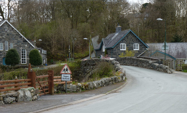
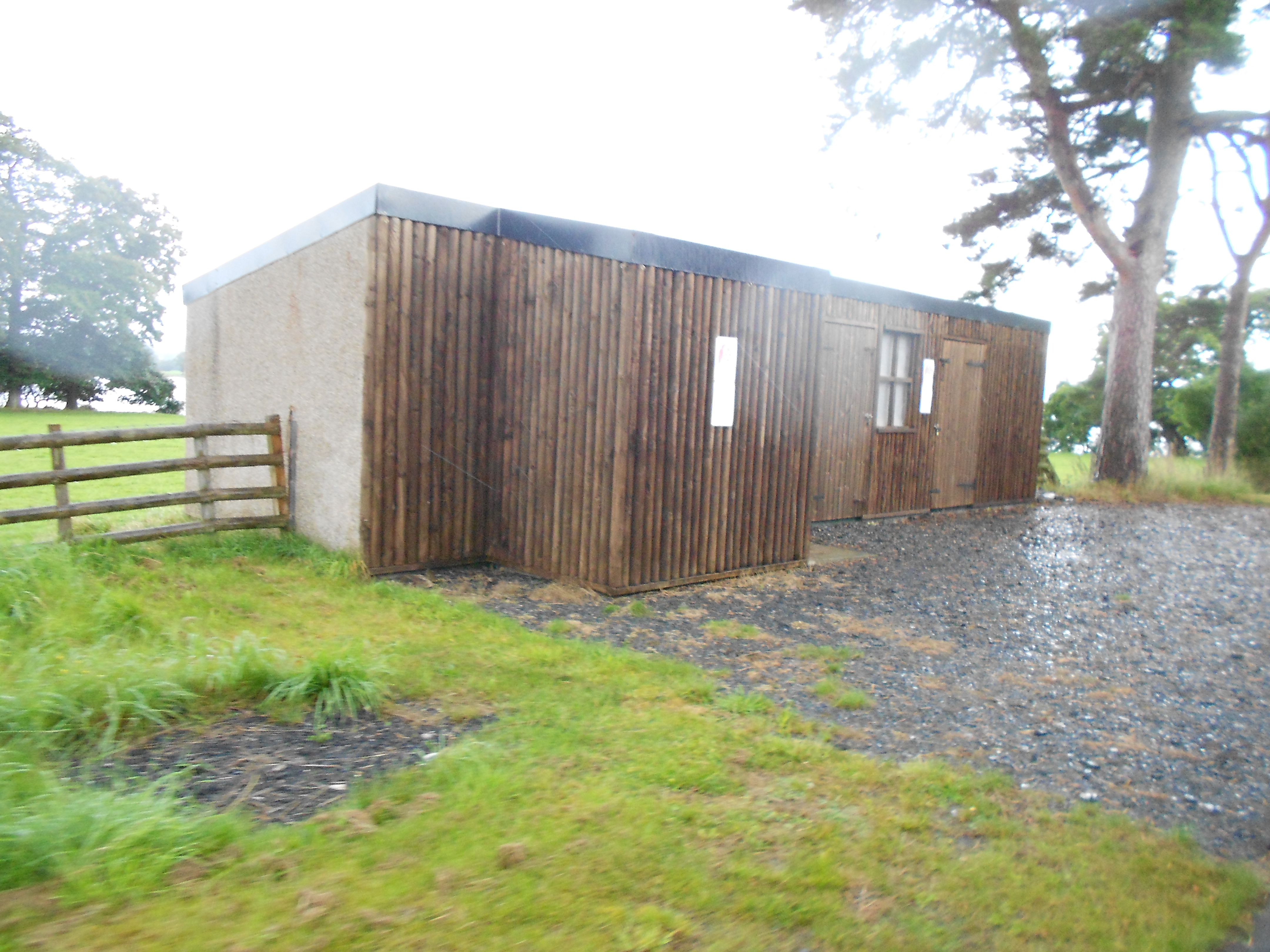
Coed Bryn Coch Images
Images are sourced within 2km of 52.876471/-3.6809256 or Grid Reference SH8632. Thanks to Geograph Open Source API. All images are credited.


Coed Bryn Coch is located at Grid Ref: SH8632 (Lat: 52.876471, Lng: -3.6809256)
Unitary Authority: Gwynedd
Police Authority: North Wales
What 3 Words
///toasters.debater.activates. Near Llanuwchllyn, Gwynedd
Nearby Locations
Related Wikis
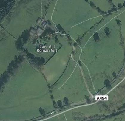
Caer Gai
Caer Gai (also Caer-gai) is a Grade II listed Roman fort in the district of Penllyn, Gwynedd, Wales, UK. It is located about 1 mile or 1.6 km north of...

Afon Llafar (Dee)
For the river which flows into the River Ogwen see Afon Llafar.The Afon Llafar is a small river in North Wales which, rising on the eastern slopes of Arenig...

Llanuwchllyn railway station
Llanuwchllyn railway station (Welsh: [ɬaˈnɨuχɬɨn] (listen)) in the village of Llanuwchllyn, Gwynedd, Wales, was formerly a station on the Ruabon to Barmouth...

Llanuwchllyn
Llanuwchllyn (Welsh: [ɬaˈnɨ̞u̯χɬɨn] ) is a village and community in Gwynedd, Wales, near the southern end of Bala Lake (Llyn Tegid). It is one of the most...
Pentrepiod Halt railway station (Gwynedd)
Pentrepiod ([pɛntrəˈpiːɔd] - 'Magpie Village') railway station is a small unstaffed railway halt on the Bala Lake Railway alongside the B4403. Trains will...

Carndochan Castle
Carndochan Castle (Welsh: Castell Carndochan) is a ruined stone castle near Llanuwchllyn, Gwynedd, north Wales. It was probably built in the early thirteenth...
Glan Llyn Halt railway station
Glan Llyn Halt in Gwynedd, Wales, was a railway halt on the Ruabon to Barmouth line on the south shore of Bala Lake, and is a limited-use station on the...

Llangower railway station
Llangower was a minor station opened by the GWR on the Ruabon to Barmouth line in 1929 on the southern shore of Bala Lake serving the hamlet of Llangower...
Nearby Amenities
Located within 500m of 52.876471,-3.6809256Have you been to Coed Bryn Coch?
Leave your review of Coed Bryn Coch below (or comments, questions and feedback).