Ffridd Coed-y-Mynach

Wood, Forest in Merionethshire

Wales

Ffridd Coed-y-Mynach

Afon Tryweryn The Tryweryn below Llyn Celyn dam.
Afon Tryweryn Credit: David Robinson

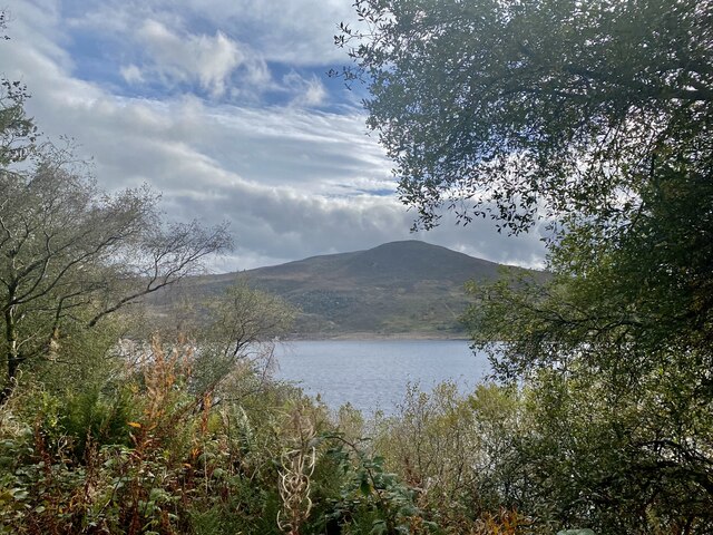
Ffridd Coed-y-Mynach, located in Merionethshire, is a captivating woodland area known for its natural beauty and diverse flora and fauna. Spanning approximately 200 acres, this enchanting forest is situated in the heart of Snowdonia National Park, Wales.

The woodland is characterized by its ancient oak trees, which provide a majestic canopy that shields the forest floor from the elements. The area is also home to a variety of other tree species including beech, birch, and ash, adding to the overall charm of the landscape. These trees create a rich habitat for numerous wildlife species, making Ffridd Coed-y-Mynach a haven for nature enthusiasts and wildlife photographers.

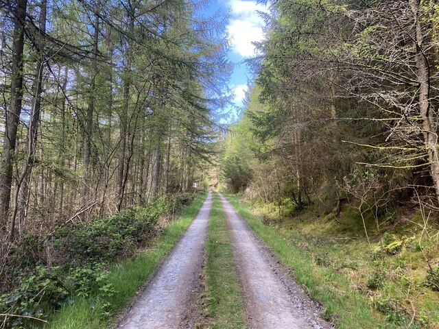
The forest is crisscrossed by a network of walking trails, allowing visitors to explore its pristine surroundings. These paths wind through the woods, offering breathtaking views of the surrounding mountains and valleys. Along the way, visitors may spot various animal species such as red squirrels, badgers, and a myriad of bird species.

Ffridd Coed-y-Mynach also boasts a diverse range of plant life, with carpets of bluebells and wild garlic adorning the forest floor during springtime. The vibrant colors and sweet fragrance create a truly magical atmosphere.

Nature lovers will find solace in this peaceful woodland, as it provides a tranquil escape from the hustle and bustle of everyday life. Ffridd Coed-y-Mynach is a gem within Snowdonia National Park, offering a unique opportunity to connect with nature and appreciate the wonders of the Welsh countryside.

If you have any feedback on the listing, please let us know in the comments section below.

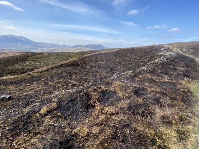
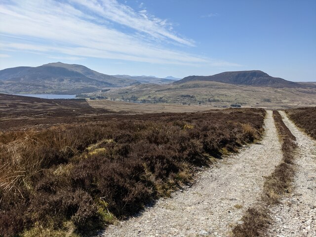
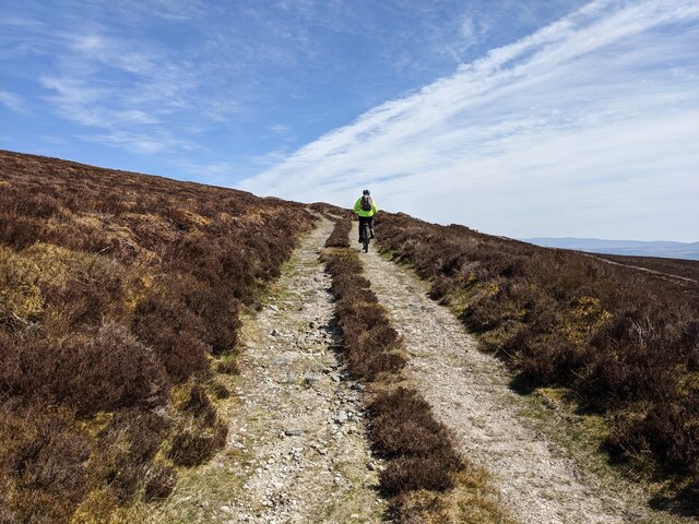
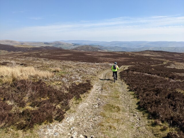
Ffridd Coed-y-Mynach Images

Images are sourced within 2km of 52.955203/-3.6864195 or Grid Reference SH8641. Thanks to Geograph Open Source API. All images are credited.

Afon Tryweryn The Tryweryn below Llyn Celyn dam.
Afon Tryweryn
The Tryweryn below Llyn Celyn dam.
Vertical overflow at Llyn Ceryn Unlike a conventional spillway overflow, Llyn Ceryn boasts an uncovered vertical shaft.
Vertical overflow at Llyn Ceryn
Unlike a conventional spillway overflow, Llyn Ceryn boasts an uncovered vertical shaft.
Llyn Celyn The reservoir was constructed between 1960 and 1965 with the purpose of maintaining the water level in the Dee in summer months to provide water extraction for Liverpool and the Wirral. The reservoir was very controversial, involving flooding the village of Capel Celyn to guarantee a supply of water outside of Wales.
Llyn Celyn
The reservoir was constructed between 1960 and 1965 with the purpose of maintaining the water level in the Dee in summer months to provide water extraction for Liverpool and the Wirral. The reservoir was very controversial, involving flooding the village of Capel Celyn to guarantee a supply of water outside of Wales.
Llyn Celyn View across Llyn Celyn towards Mynydd Nodol.
Llyn Celyn
View across Llyn Celyn towards Mynydd Nodol.
View over Llyn Celyn Llyn Celyn was formed by damming the Afon Celyn.  This was in order to regulate the flow of water into the River Dee (which the Celyn joined at Bala) as part of a project to supply a  steady flow of water for the city of Liverpool which abstracted it from the Dee lower down.
View over Llyn Celyn
Llyn Celyn was formed by damming the Afon Celyn. This was in order to regulate the flow of water into the River Dee (which the Celyn joined at Bala) as part of a project to supply a steady flow of water for the city of Liverpool which abstracted it from the Dee lower down.
Track through the woods
A4212 North of Llyn Celyn
Track through the heather South-west of Foel-boeth.
Track through the heather
South-west of Foel-boeth.
Recently-burnt heather South of Foel-boeth.
Recently-burnt heather
South of Foel-boeth.
Mountain track South of Brottos.
Mountain track
South of Brottos.
The track below Foel-boeth Llyn Celyn can be seen in the distance on the left.
The track below Foel-boeth
Llyn Celyn can be seen in the distance on the left.
Looking east on the track below Foel-boeth
A track through the wilderness Heading towards Cwm Hesgyn.
A track through the wilderness
Heading towards Cwm Hesgyn.
The old gate posts These were once part of a boundary wall/fence which is still visible on the aerial photos. Presumably the gate was too narrow for the vehicles using the current track towards Carnedd y Filiast.
The old gate posts
These were once part of a boundary wall/fence which is still visible on the aerial photos. Presumably the gate was too narrow for the vehicles using the current track towards Carnedd y Filiast.
The track across Ffridd Cwmhesgyn
A shallow, but unpleasant looking ford Across a tributary of the Afon Hesgyn.
A shallow, but unpleasant looking ford
Across a tributary of the Afon Hesgyn.
The track above Cwm Hesgyn cottage
Cwm Hesgyn cottage Nestled in a small clump of trees, in contrast to the barren land all around.
Cwm Hesgyn cottage
Nestled in a small clump of trees, in contrast to the barren land all around.
Show me another place!

Ffridd Coed-y-Mynach is located at Grid Ref: SH8641 (Lat: 52.955203, Lng: -3.6864195)

Unitary Authority: Gwynedd

Police Authority: North Wales

What 3 Words

///commoners.perplexed.pushing. Near Bala, Gwynedd

Related Wikis

Llyn Celyn

Llyn Celyn (Welsh pronunciation: [ɬɨ̞n ˈkɛlɨ̞n]) is a reservoir constructed between 1960 and 1965 including the highly controversial Tryweryn flooding...

Tyddyn Bridge Halt railway station

Tyddyn Bridge Halt was a railway station which served the village of Frongoch, Gwynedd, Wales. It was on the Great Western Railway's (GWR's) Bala Ffestiniog...

Capel Celyn Halt railway station

Capel Celyn Halt was a solely passenger railway station which served the rural area of Capel Celyn west of Bala. It was on the Great Western Railway's...

Capel Celyn

Capel Celyn was a rural community to the northwest of Bala in Gwynedd, Wales, in the Afon Tryweryn valley. The village and other parts of the valley were...

Nearby Amenities

Located within 500m of 52.955203,-3.6864195
Power: tower
Lat/Long: 52.9529622/-3.6852371
Power: tower
Lat/Long: 52.9539781/-3.6901138
Power: tower
Lat/Long: 52.9523235/-3.6816046
Garneddwen
Ele: 479
Natural: peak
Wikidata: Q106709720
Lat/Long: 52.958045/-3.6855887
Information: guidepost
Tourism: information
Lat/Long: 52.9536047/-3.6917704
Information: route_marker
Tourism: information
Lat/Long: 52.9534682/-3.6865917
Information: route_marker
Tourism: information
Lat/Long: 52.9535429/-3.6863322
Information: route_marker
Tourism: information
Lat/Long: 52.9537102/-3.6849173
Information: route_marker
Tourism: information
Lat/Long: 52.9537009/-3.6823551
Information: route_marker
Tourism: information
Lat/Long: 52.9538419/-3.6805674
Information: route_marker
Tourism: information
Lat/Long: 52.954157/-3.6802308
The data included in this document is from www.openstreetmap.org. The data is made available under ODbL.

Have you been to Ffridd Coed-y-Mynach?

Leave your review of Ffridd Coed-y-Mynach below (or comments, questions and feedback).