Coed Gwernhefin
Wood, Forest in Merionethshire
Wales
Coed Gwernhefin

The requested URL returned error: 429 Too Many Requests
If you have any feedback on the listing, please let us know in the comments section below.
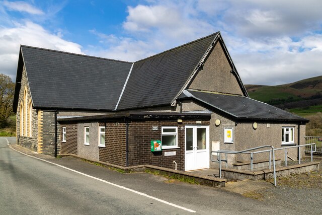
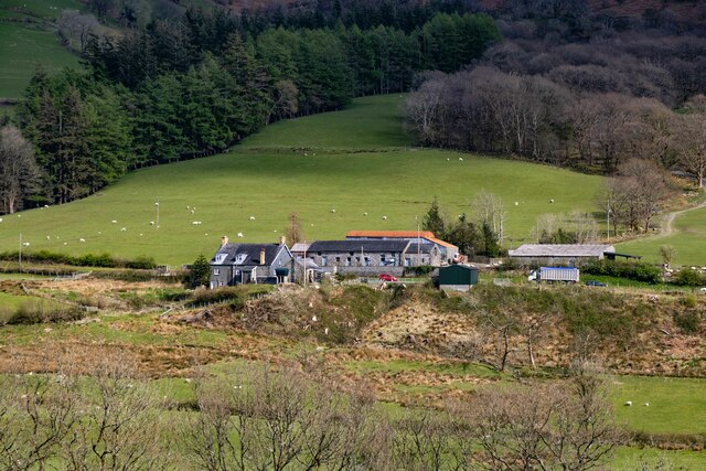
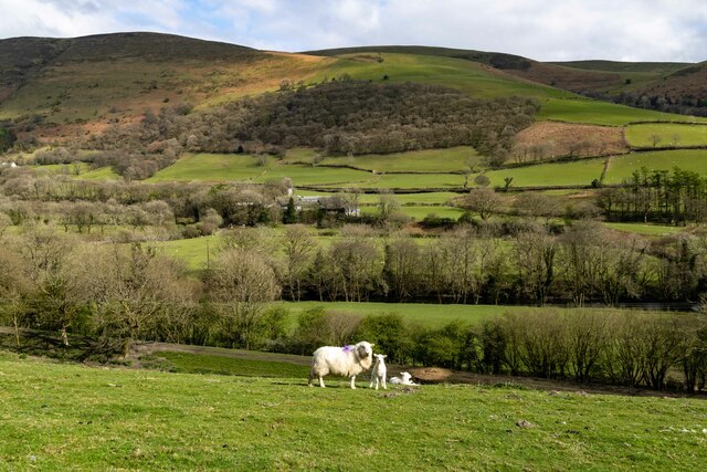
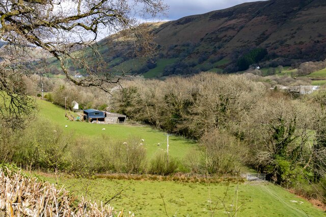
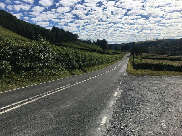
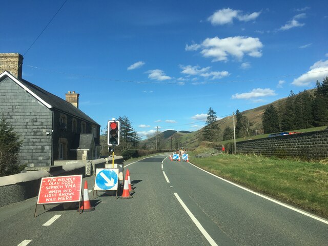
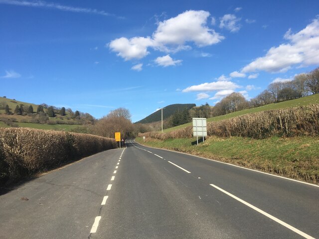
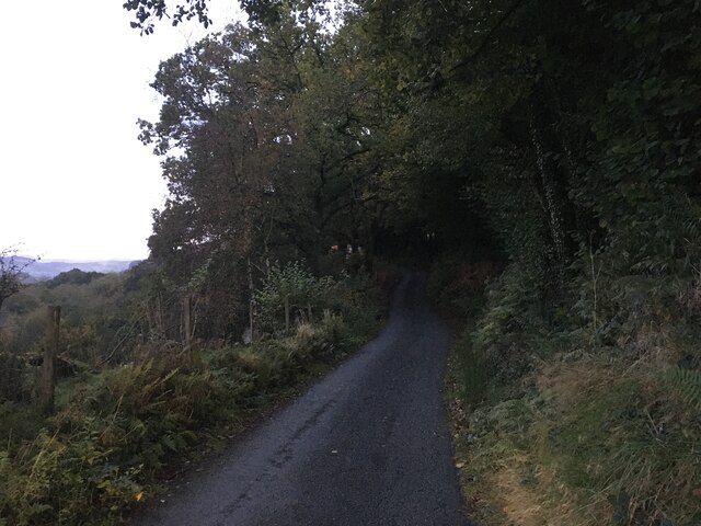
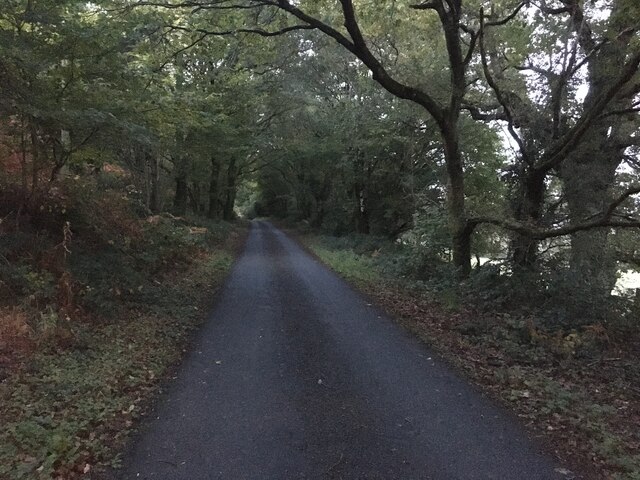
Coed Gwernhefin Images
Images are sourced within 2km of 52.685758/-3.6857665 or Grid Reference SH8611. Thanks to Geograph Open Source API. All images are credited.


Coed Gwernhefin is located at Grid Ref: SH8611 (Lat: 52.685758, Lng: -3.6857665)
Unitary Authority: Powys
Police Authority: Dyfed Powys
What 3 Words
///shadowing.rent.gilding. Near Cwm-Llinau, Powys
Nearby Locations
Related Wikis

Mallwyd
Mallwyd () is a small village at the most southern end of Gwynedd, Wales, in the Mawddwy community, in the valley of the River Dyfi. It lies on the A470...

Aberangell railway station
Aberangell railway station was an intermediate railway station on the Mawddwy Railway which ran from Cemmaes Road to Dinas Mawddy in the Welsh county...

Aberangell
Aberangell () is a village in Gwynedd, Wales. == Geography == Aberangell stands at the confluence of the Afon Angell and the Afon Dyfi, and lies within...

Afon Angell
The Afon Angell is a river in Gwynedd, Mid Wales. The river flows eastwards from its source on the eastern flank of Mynydd Dolgoed, joining the Afon Dyfi...
Related Videos
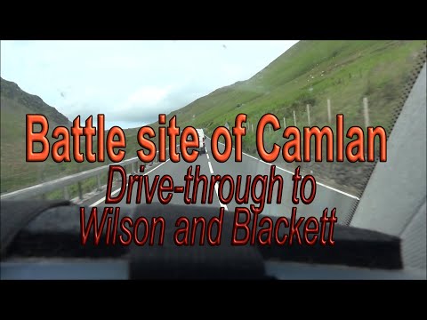
Camlan Drive through and story
Arthur's battle site of Camlan - Wilson & Blackett reading to a drive through. (New) WELSH HISTORY STORIES Channel ...
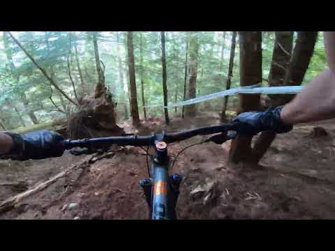
Welsh Enduro Dyfi Stage 1 Practice
First Welsh Enduro stage for me. Tentative!
Have you been to Coed Gwernhefin?
Leave your review of Coed Gwernhefin below (or comments, questions and feedback).