Ffridd Bwlch-gwyn
Wood, Forest in Merionethshire
Wales
Ffridd Bwlch-gwyn
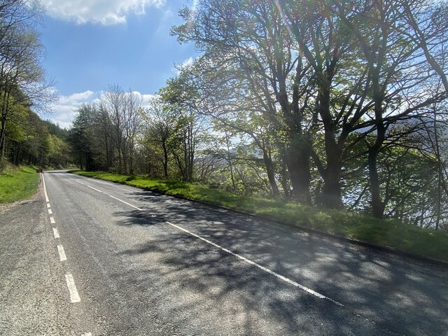
Ffridd Bwlch-gwyn is a picturesque wooded area located in Merionethshire, Wales. Situated in the heart of Snowdonia National Park, this enchanting forest is renowned for its natural beauty and diverse flora and fauna.
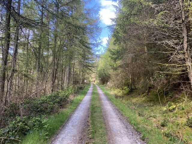
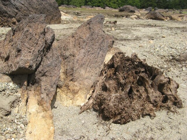
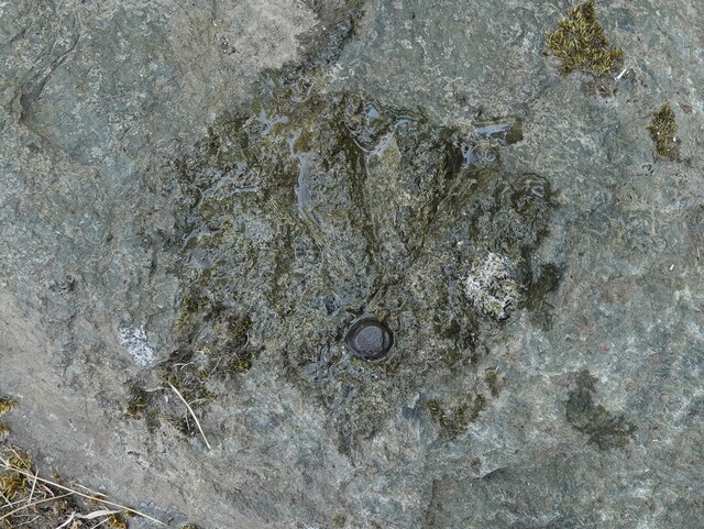
Covering an area of approximately 500 acres, Ffridd Bwlch-gwyn is characterized by its rolling hills, lush valleys, and dense woodland. The forest is predominantly composed of native tree species such as oak, birch, and ash, which provide a rich habitat for a variety of wildlife. Visitors to Ffridd Bwlch-gwyn can expect to encounter a range of bird species including woodpeckers, owls, and red kites, as well as small mammals like badgers, foxes, and squirrels.
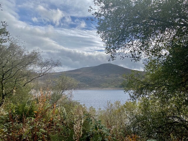
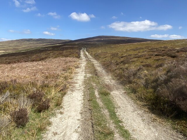
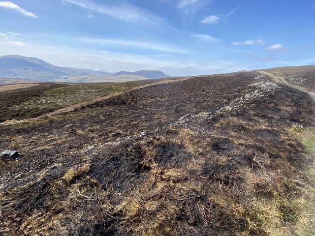
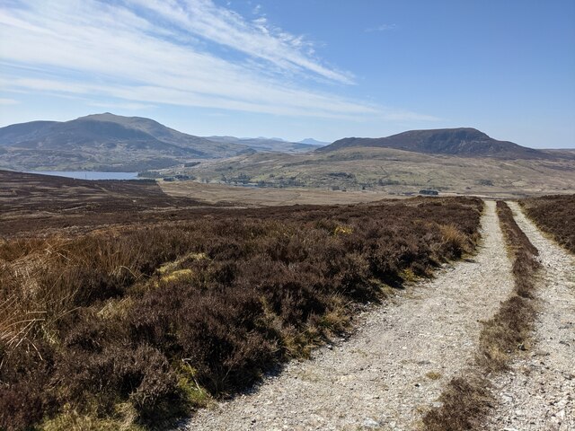
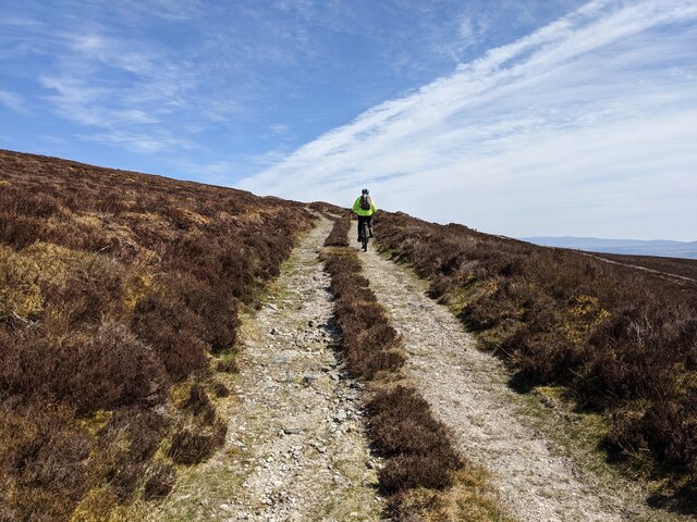
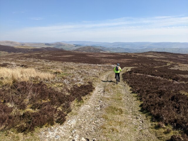
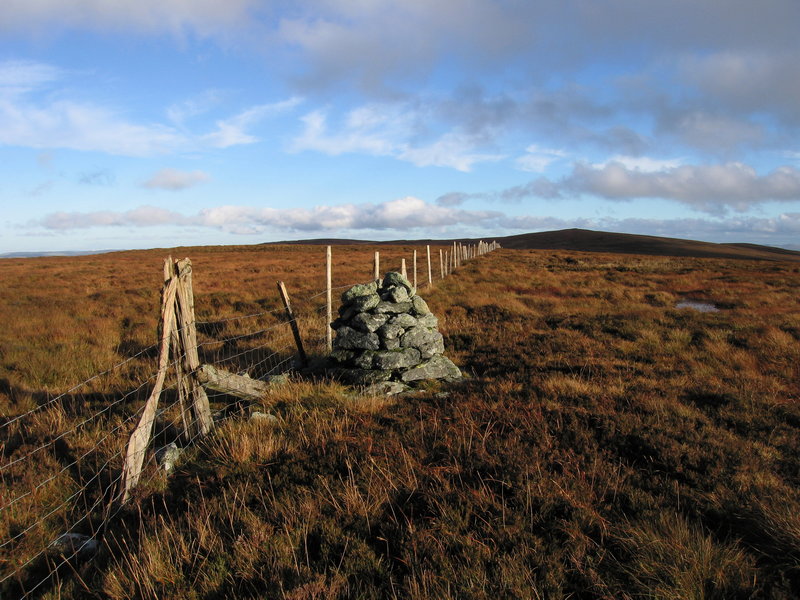
The forest offers numerous walking trails and paths, allowing visitors to explore its hidden corners and breathtaking vistas. From its higher elevations, visitors can enjoy panoramic views of the surrounding Snowdonia mountains, adding to the allure of this natural gem.
In addition to its natural beauty, Ffridd Bwlch-gwyn also holds historical significance. The forest was once part of a larger estate and features remnants of old stone walls and ruins, adding a touch of mystery and intrigue to the landscape.
Ffridd Bwlch-gwyn is a popular destination for nature enthusiasts, hikers, and photographers seeking tranquility and a connection with nature. With its serene ambiance and captivating scenery, this woodland area truly encapsulates the charm and allure of the Welsh countryside.
If you have any feedback on the listing, please let us know in the comments section below.
Ffridd Bwlch-gwyn Images
Images are sourced within 2km of 52.956216/-3.7004975 or Grid Reference SH8541. Thanks to Geograph Open Source API. All images are credited.


Ffridd Bwlch-gwyn is located at Grid Ref: SH8541 (Lat: 52.956216, Lng: -3.7004975)
Unitary Authority: Gwynedd
Police Authority: North Wales
What 3 Words
///swam.moats.revolting. Near Bala, Gwynedd
Nearby Locations
Related Wikis

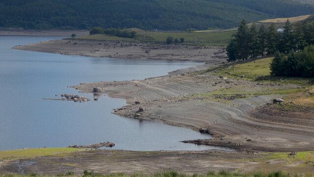
Llyn Celyn
Llyn Celyn (Welsh pronunciation: [ɬɨ̞n ˈkɛlɨ̞n]) is a reservoir constructed between 1960 and 1965 including the highly controversial Tryweryn flooding...

Capel Celyn
Capel Celyn was a rural community to the northwest of Bala in Gwynedd, Wales, in the Afon Tryweryn valley. The village and other parts of the valley were...

Capel Celyn Halt railway station
Capel Celyn Halt was a solely passenger railway station which served the rural area of Capel Celyn west of Bala. It was on the Great Western Railway's...

Mynydd Nodol
Mynydd Nodol is a 539m high hill in Snowdonia National Park and lying within the community of Llanycil in the county of Gwynedd in North Wales. It rises...
Tyddyn Bridge Halt railway station
Tyddyn Bridge Halt was a railway station which served the village of Frongoch, Gwynedd, Wales. It was on the Great Western Railway's (GWR's) Bala Ffestiniog...
Waun Garnedd-y-filiast
Waun Garnedd-y-filiast is a top of Carnedd y Filiast on the border of the Snowdonia National park near Cerrigydrudion in North Wales. It is part of the...

Carnedd y Filiast (Cerrigydrudion)
Carnedd y Filiast is a mountain near Cerrigydrudion on the border of the Snowdonia National Park, North Wales and is 669 metres (2,195 ft) high. ��2...

Carnedd Llechwedd-llyfn
Carnedd Llechwedd-llyfn is a subsidiary summit of Carnedd y Filiast on the border of Snowdonia National Park in Llandderfel, in Gwynedd. The northern...
Nearby Amenities
Located within 500m of 52.956216,-3.7004975Have you been to Ffridd Bwlch-gwyn?
Leave your review of Ffridd Bwlch-gwyn below (or comments, questions and feedback).