Aber-pergwm Wood

Wood, Forest in Glamorgan

Wales

Aber-pergwm Wood

Hen bont reilffordd  / Old railway bridge Hen bont reilffordd fwynol yn rhychwantu Afon Nedd. 

A former mineral railway bridge spanning the Neath River.
Hen bont reilffordd / Old railway bridge Credit: Alan Richards

Aber-pergwm Wood is a picturesque forest located in the county of Glamorgan, Wales. Covering an area of approximately 350 acres, it offers a diverse and enchanting natural environment for visitors to explore. The wood is nestled in the rolling hills of the Neath Valley, providing a tranquil and scenic backdrop for outdoor enthusiasts.

The forest is predominantly composed of ancient oak trees, some of which are believed to be over 400 years old, adding a sense of history and grandeur to the landscape. These majestic trees provide a dense canopy that filters sunlight, creating a cool and shaded atmosphere within the wood. Underneath the towering oaks, a rich understory of plants and wildflowers flourishes, attracting a variety of wildlife.

Aber-pergwm Wood is a popular destination for walkers, hikers, and nature lovers alike. It offers a network of well-maintained trails that wind through the forest, allowing visitors to explore its beauty at their own pace. The paths vary in difficulty, catering to both casual strollers and more experienced hikers.

Throughout the year, the wood showcases seasonal changes, with vibrant displays of bluebells in spring and a riot of colors in autumn. It is also home to a diverse range of bird species, making it a haven for birdwatching enthusiasts.

Facilities at Aber-pergwm Wood include parking areas, picnic spots, and information boards to help visitors navigate the trails and learn about the forest's ecology. With its natural beauty and peaceful ambiance, Aber-pergwm Wood is a true gem in the heart of Glamorgan, offering a captivating experience for all who venture into its embrace.

If you have any feedback on the listing, please let us know in the comments section below.

Aber-pergwm Wood Images

Images are sourced within 2km of 51.744352/-3.6570764 or Grid Reference SN8506. Thanks to Geograph Open Source API. All images are credited.

Hen bont reilffordd  / Old railway bridge Hen bont reilffordd fwynol yn rhychwantu Afon Nedd. 

A former mineral railway bridge spanning the Neath River.
Hen bont reilffordd / Old railway bridge
Hen bont reilffordd fwynol yn rhychwantu Afon Nedd. A former mineral railway bridge spanning the Neath River.
Pont yr A465 / A465 bridge Pont ffordd ddeuol yr A465 yn rhychwantu Afon Nedd.

An A465 dual carriageway bridge spanning the River Neath.
Pont yr A465 / A465 bridge
Pont ffordd ddeuol yr A465 yn rhychwantu Afon Nedd. An A465 dual carriageway bridge spanning the River Neath.
Hen adeilad diwydiannol / An old industrial building Llwybr ceffyl yn mynd heibio, wrth ei olwg, hen adeilad diwydiannol. 

A bridleway passing, by its appearance, an old industrial building.
Hen adeilad diwydiannol / An old industrial building
Llwybr ceffyl yn mynd heibio, wrth ei olwg, hen adeilad diwydiannol. A bridleway passing, by its appearance, an old industrial building.
Llwybr ceffyl erydog / Eroded bridleway Llwybr ceffyl wedi'i erydu gan nant.

A bridleway having been eroded by a stream.
Llwybr ceffyl erydog / Eroded bridleway
Llwybr ceffyl wedi'i erydu gan nant. A bridleway having been eroded by a stream.
Llwybr ceffyl i Gwmgwrach / Bridleway to Cwmgwrach Llwybr ceffyl yn mynd drwy'r coed i gyfeiriad Cwmgwrach.

A woodland bridleway heading towards Cwmgwrach (trans. [witch / hag [river] valley).
Llwybr ceffyl i Gwmgwrach / Bridleway to Cwmgwrach
Llwybr ceffyl yn mynd drwy'r coed i gyfeiriad Cwmgwrach. A woodland bridleway heading towards Cwmgwrach (trans. [witch / hag [river] valley).
Transmitter above Craig Clwyd
Track approaching the Rheola transmitter
Track alongside Craig Clwyd woodland
Rock face alongside track The terrain is steep both to the left and to the right of the track.
Rock face alongside track
The terrain is steep both to the left and to the right of the track.
Maesgwyn woodland Access tracks for the Maesgwyn wind farm.
Maesgwyn woodland
Access tracks for the Maesgwyn wind farm.
A grey track on a grey day Track curving through Maesgwyn Forest towards the wind farm.
A grey track on a grey day
Track curving through Maesgwyn Forest towards the wind farm.
Scrambling track In addition to forestry, wind farming and, of course, rambling, this land is used by motorcycle scramblers.
Scrambling track
In addition to forestry, wind farming and, of course, rambling, this land is used by motorcycle scramblers.
Aberpergwm Wood Track leading through Aberpergwm Wood.  

The forestry is riddled with tracks serving timber management, mining and wind farming.  Most are accessible on foot, but the scenery tends to lack variety and most views are obscured by the trees.
Aberpergwm Wood
Track leading through Aberpergwm Wood. The forestry is riddled with tracks serving timber management, mining and wind farming. Most are accessible on foot, but the scenery tends to lack variety and most views are obscured by the trees.
Croesffordd mewn coedwigaeth/ Crossroads within a forestry Croesffordd o draciau o fewn planhigfa gonifferaidd.

A crossroads of tracks within a conifer plantation.
Croesffordd mewn coedwigaeth/ Crossroads within a forestry
Croesffordd o draciau o fewn planhigfa gonifferaidd. A crossroads of tracks within a conifer plantation.
Croesffordd mewn coedwigaeth / Crossroads within a forestry Croesffordd o draciau o fewn planhigfa gonifferaidd.

A crossroads of tracks within a conifer plantation.
Croesffordd mewn coedwigaeth / Crossroads within a forestry
Croesffordd o draciau o fewn planhigfa gonifferaidd. A crossroads of tracks within a conifer plantation.
McDonald's, Blaengwrach Fast food restaurant off B4242 at roundabout on A465. There have been changes to the building's roof and immediate environs since 2011 <a href="https://www.geograph.org.uk/photo/2571027">SN8605 : McDonald's near Glynneath</a>.
McDonald's, Blaengwrach
Fast food restaurant off B4242 at roundabout on A465. There have been changes to the building's roof and immediate environs since 2011 SN8605 : McDonald's near Glynneath.
Access road to McDonald's, Blaengwrach The road from the right comes off the B4242 and to the left goes to a sewage station. McDonald's <a href="https://www.geograph.org.uk/photo/7522981">SN8605 : McDonald's, Blaengwrach</a> is just out of shot to the right of the hedge.
Access road to McDonald's, Blaengwrach
The road from the right comes off the B4242 and to the left goes to a sewage station. McDonald's SN8605 : McDonald's, Blaengwrach is just out of shot to the right of the hedge.
Maes Gwyn Lock Maes Gwyn Lock on the Neath Canal. In the vegetation on the right is a small limekiln.
Maes Gwyn Lock
Maes Gwyn Lock on the Neath Canal. In the vegetation on the right is a small limekiln.
Show me another place!

Aber-pergwm Wood is located at Grid Ref: SN8506 (Lat: 51.744352, Lng: -3.6570764)

Unitary Authority: Neath Port Talbot

Police Authority: South Wales

What 3 Words

///staging.viewer.merchant. Near Glyn-neath, Neath Port Talbot

Nearby Locations

Aber-pergwm Wood

Related Wikis

Aberpergwm

Aberpergwm is the site of a colliery in the Vale of Neath near Glynneath in south Wales. == Mine history == The site at Aberpergwm had been worked since...
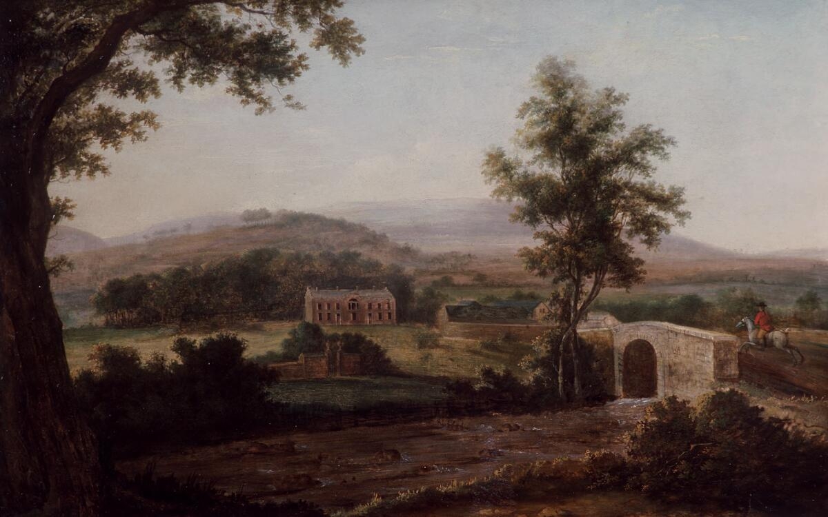
Aberpergwm House

Aberpergwm House (Welsh: Aberpergwm) is an abandoned and ruinous country house located in Glynneath, Wales. Within the grounds of the house sits the church...

Coed Hills

Coed Hills Rural Artspace is a sustainable community close to the village of St Hilary in the Vale of Glamorgan, Wales, approximately 8 miles (13 km) west...

St Cadoc's Church, Glynneath

St. Cadoc's Church is a Church in Wales church in Glynneath, Wales. It is located in the grounds of the now derelict Aberpergwm House for which it was...

Glyn Neath railway station

Glyn Neath railway station served the town of Glynneath, in the historical county of Glamorganshire, Wales, from 1851 to 1964 on the Vale of Neath Railway...
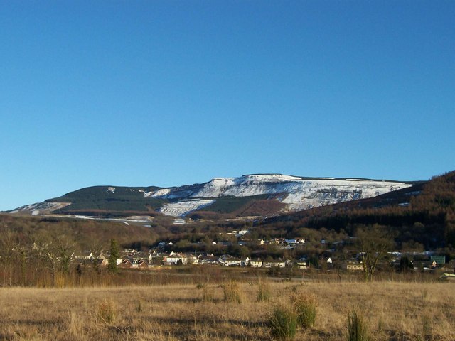
Blaengwrach

Blaengwrach ( blyne-GRAHKH, Welsh: [ˌblainˈɡwraːχ]) is a community near Glynneath and Resolven in the county borough of Neath Port Talbot, Wales. It is...

Vale of Neath

The Vale of Neath (or Neath Valley, Welsh: Cwm Nedd), one of the South Wales Valleys, encompasses the upper reaches of the River Neath in southwest Wales...

Hirfynydd

Hirfynydd is a 481-metre-high hill in Neath Port Talbot county borough in South Wales. A Roman road, Sarn Helen, runs along its entire northeast–southwest...

Nearby Amenities

Located within 500m of 51.744352,-3.6570764
Barrier: bollard
Designation: Large Boulders blocking car access
Lat/Long: 51.7483228/-3.6540596
The data included in this document is from www.openstreetmap.org. The data is made available under ODbL.

Have you been to Aber-pergwm Wood?

Leave your review of Aber-pergwm Wood below (or comments, questions and feedback).