Coed Pant-llestri
Wood, Forest in Denbighshire
Wales
Coed Pant-llestri

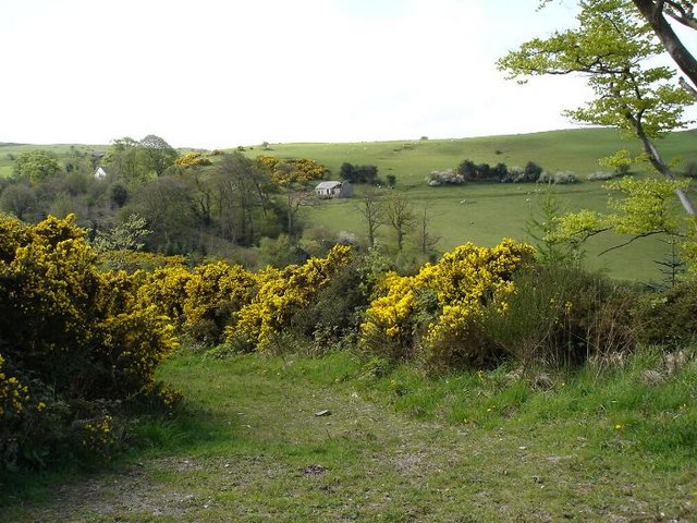
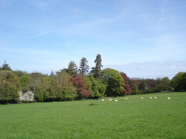
Coed Pant-llestri is a picturesque woodland located in Denbighshire, Wales. Nestled in the Clwydian Range, this enchanting forest covers an area of approximately 200 hectares and showcases the natural beauty of the region. With its diverse flora and fauna, Coed Pant-llestri is a haven for nature enthusiasts and an ideal destination for outdoor activities.
The woodland is predominantly composed of broadleaf trees, including oak, beech, and birch, which create a vibrant and colorful canopy throughout the year. The forest floor is adorned with a variety of wildflowers, such as bluebells and primroses, adding to the allure of the area. The towering trees provide a habitat for numerous bird species, making it a popular spot for birdwatching.
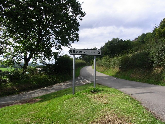
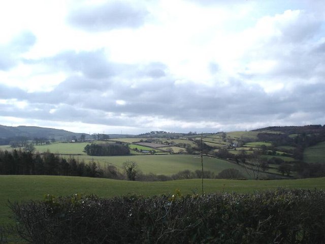
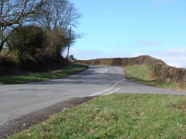
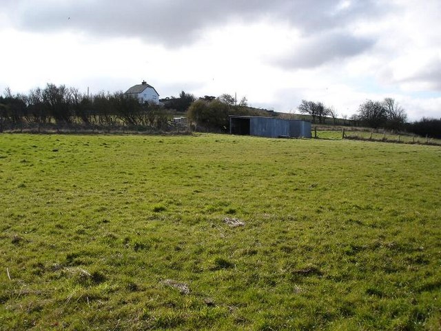
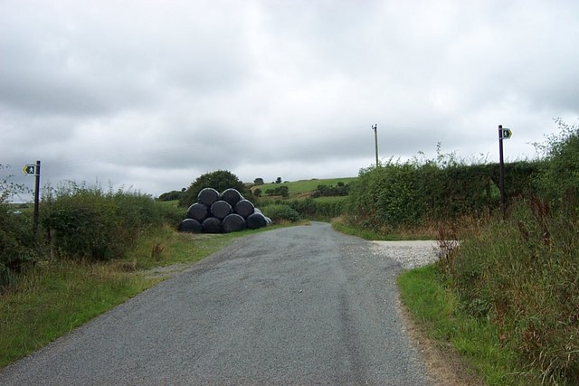
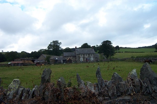
Coed Pant-llestri offers a network of well-maintained trails, allowing visitors to explore its serene surroundings. These paths cater to different levels of difficulty, ensuring there is something for everyone, from casual walkers to experienced hikers. Along the way, visitors can enjoy breathtaking views of the surrounding countryside and may even catch a glimpse of grazing livestock on the adjacent fields.
The woodland is also home to several historic features, including the remains of a lime kiln, which stands as a reminder of the area's industrial past. Additionally, there are several picnic areas and benches scattered throughout the forest, providing visitors with the perfect opportunity to relax and immerse themselves in the tranquility of the surroundings.
Coed Pant-llestri offers a serene and captivating escape from the hustle and bustle of everyday life, inviting visitors to connect with nature and explore the beauty of Denbighshire's woodlands.
If you have any feedback on the listing, please let us know in the comments section below.
Coed Pant-llestri Images
Images are sourced within 2km of 53.247097/-3.7163741 or Grid Reference SH8573. Thanks to Geograph Open Source API. All images are credited.


Coed Pant-llestri is located at Grid Ref: SH8573 (Lat: 53.247097, Lng: -3.7163741)
Unitary Authority: Conwy
Police Authority: North Wales
What 3 Words
///crouches.linguists.leader. Near Mochdre, Conwy
Nearby Locations
Related Wikis

St John's Church, Trofarth
St John's Church, Trofarth, is a redundant church standing in an isolated position in Conwy County Borough, Wales (grid reference SH857718). It was designated...

Coed Coch
Coed Coch, in Dolwen, Conwy, Wales, is a large 19th-century mansion in the neoclassical style, designed by the architect Henry Hakewill. The building...
Christ Church, Bryn-y-Maen
Christ Church, Bryn-y-Maen is in the small village of Bryn-y-Maen on the B5113 road some 3 km to the south of Colwyn Bay in Conwy County Borough, Wales...

Llyn Ty'n y Llyn
Llyn Ty'n y Llyn is a Site of Special Scientific Interest in the preserved county of Clwyd, north Wales. == See also == List of Sites of Special Scientific...

Llanelian Road
Llanelian Road (Welsh: Ffordd Llanelian) is a multi-use stadium in Old Colwyn, North Wales and also known as the 4 Crosses Construction Arena for sponsorship...

Ysgol Bryn Elian
Ysgol Bryn Elian is an 11–18 English-medium co-educational comprehensive school on Windsor Drive in Old Colwyn. Along with Eirias High School and Coleg...

Colwyn Bay Community Hospital
Colwyn Bay Community Hospital (Welsh: Ysbyty Cymuned Bae Colwyn) is a community hospital in Colwyn Bay, Wales. It is managed by the Betsi Cadwaladr University...

Moelfre Uchaf
Moelfre Uchaf is a hill in the borough of Conwy, North Wales, 5 miles (8.0 km) south-east of Colwyn Bay and 1.5 mi (2.4 km) south-west of Betws-yn-Rhos...
Have you been to Coed Pant-llestri?
Leave your review of Coed Pant-llestri below (or comments, questions and feedback).