Coed Gordderw

Wood, Forest in Merionethshire

Wales

Coed Gordderw

Rough grassland and Pennant Lliw
Rough grassland and Pennant Lliw Credit: John Lucas

Coed Gordderw is a picturesque woodland located in Merionethshire, a county in northwestern Wales. Covering an area of approximately 50 hectares, the forest is nestled within the stunning landscape of Snowdonia National Park. The name "Coed Gordderw" translates to "Wood, Forest" in English, aptly describing the natural beauty and abundance of trees found in this area.

The woodland boasts a diverse range of tree species, including oak, birch, beech, and rowan. These trees create a lush and verdant canopy, providing a habitat for numerous bird species, small mammals, and insects. Walking through Coed Gordderw, one can hear the enchanting melodies of songbirds and the rustling of leaves underfoot, creating a tranquil and serene atmosphere.

The forest offers a network of well-maintained trails, providing visitors with the opportunity to explore its hidden treasures. Walking along these paths, one can discover hidden streams, charming bridges, and peaceful picnic spots. These trails are suitable for all ages and fitness levels, offering a chance to immerse oneself in nature and escape the hustle and bustle of everyday life.

Coed Gordderw is a popular destination for nature enthusiasts, hikers, and wildlife photographers alike. Its breathtaking scenery and abundant wildlife make it a haven for those seeking solace in the great outdoors. Whether one is looking to enjoy a peaceful stroll or embark on an adventurous hike, Coed Gordderw offers a truly memorable experience in the heart of Merionethshire.

If you have any feedback on the listing, please let us know in the comments section below.

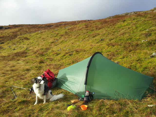
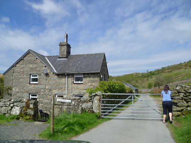
Coed Gordderw Images

Images are sourced within 2km of 52.887093/-3.7294792 or Grid Reference SH8333. Thanks to Geograph Open Source API. All images are credited.

Rough grassland and Pennant Lliw
Foel Boeth summit With Arenig Fawr in the distance.
Foel Boeth summit
With Arenig Fawr in the distance.
Wild Camp on Arenig Fawr After a night of wind and hill fog it was a surprise to see it gradually clearing while we brewed up for breakfast
Wild Camp on Arenig Fawr
After a night of wind and hill fog it was a surprise to see it gradually clearing while we brewed up for breakfast
Wild Camp on Arenig Fawr About 30 mins after pitching the tent the mist rolled in and stayed with us until breakfast time the next morning
Wild Camp on Arenig Fawr
About 30 mins after pitching the tent the mist rolled in and stayed with us until breakfast time the next morning
Wild Camp on Arenig Fawr Packing up as the cloud begins to lift
Wild Camp on Arenig Fawr
Packing up as the cloud begins to lift
Dewey bagging Meg on the summit of Foel Boeth, we gained access from SH 834 336 where there has been fire damage to a small group of trees making it possible to gain the top quite easily
Dewey bagging
Meg on the summit of Foel Boeth, we gained access from SH 834 336 where there has been fire damage to a small group of trees making it possible to gain the top quite easily
Banc y Merddwr Llethrau caregog Banc y Merddwr / Rocky slopes of Banc y Merddwr.
Banc y Merddwr
Llethrau caregog Banc y Merddwr / Rocky slopes of Banc y Merddwr.
Moel Ymenyn
Moel Ymenyn
Llethrau Banc y Merddwr / Slopes of Banc y Merddwr Hen gorlan ddefaid / An old sheepfold.
Llethrau Banc y Merddwr / Slopes of Banc y Merddwr
Hen gorlan ddefaid / An old sheepfold.
Craig y Bychau
Craig y Bychau
Craig y Bychau Machlud haul dros Moel Llyfnant / Sunset over Moel Llyfnant.
Craig y Bychau
Machlud haul dros Moel Llyfnant / Sunset over Moel Llyfnant.
Plantation at Buartheini By the gate on the minor road above the Afon Lliw
Plantation at Buartheini
By the gate on the minor road above the Afon Lliw
Old wooden gate beside the lane Wonder where that leads? Tempting...
Old wooden gate beside the lane
Wonder where that leads? Tempting...
Lane with a view to a waterfall This road offers some stunning views.
Lane with a view to a waterfall
This road offers some stunning views.
Gate at Buarth Meini farm I had to stop here, with the farm dog barking at us, while the gate is opened, one of many on this road, stock proofing the area and I assume a lot less expensive than cattle grids.
Gate at Buarth Meini farm
I had to stop here, with the farm dog barking at us, while the gate is opened, one of many on this road, stock proofing the area and I assume a lot less expensive than cattle grids.
Old ruin in the valley below Could be an old sheepfold or barn or possibly even a cottage.
Old ruin in the valley below
Could be an old sheepfold or barn or possibly even a cottage.
Barns at Buarthmeini farm What a spot.
Barns at Buarthmeini farm
What a spot.
One man and his shadow! Photographing a small stream (unnamed on the map) which is a tributary of Afon Lliw.
One man and his shadow!
Photographing a small stream (unnamed on the map) which is a tributary of Afon Lliw.
Show me another place!

Coed Gordderw is located at Grid Ref: SH8333 (Lat: 52.887093, Lng: -3.7294792)

Unitary Authority: Gwynedd

Police Authority: North Wales

What 3 Words

///wires.fishery.quicksand. Near Llanuwchllyn, Gwynedd

Nearby Locations

Foel Boeth Coed Gordderw

Related Wikis

Carndochan Castle

Carndochan Castle (Welsh: Castell Carndochan) is a ruined stone castle near Llanuwchllyn, Gwynedd, north Wales. It was probably built in the early thirteenth...

Moel Llyfnant

Moel Llyfnant is a mountain in the southern portion of the Snowdonia National Park in Gwynedd, Wales. It is a peak in the Arenig mountain range. It lies...

Arenigs

Arenigs is an informal term for a group of mountains in central Snowdonia, in north Wales. They are not strictly defined, but normally include at least...

Foel Boeth

Foel Boeth is the twin top of Gallt y Daren in the southern half of the Snowdonia National Park in Gwynedd, North Wales, and forms part of the Arenig mountain...

Nearby Amenities

Located within 500m of 52.887093,-3.7294792
Ele: 417
Natural: peak
Note: on some older maps this peak is named Ffridd Trawsgoed
Lat/Long: 52.8838795/-3.7292609
Foel Boeth
Ele: 541
Natural: peak
Lat/Long: 52.888875/-3.7336712
The data included in this document is from www.openstreetmap.org. The data is made available under ODbL.

Have you been to Coed Gordderw?

Leave your review of Coed Gordderw below (or comments, questions and feedback).