Coed Ty'n-y-pwll

Wood, Forest in Caernarfonshire

Wales

Coed Ty'n-y-pwll

B4407 near Ysbyty Ifan
B4407 near Ysbyty Ifan Credit: Steven Brown

Coed Ty'n-y-pwll is a picturesque woodland located in Caernarfonshire, Wales. Spread over an area of approximately 100 acres, it is a stunning natural haven that offers visitors a serene and tranquil experience. The woodland is situated near the village of Llanrug and is easily accessible by car or public transportation.

This enchanting forest is home to a diverse range of trees, including oak, birch, and beech, creating a rich and vibrant ecosystem. The combination of sunlight filtering through the dense canopy and the gentle rustling of leaves provides a soothing ambiance that is perfect for relaxation and exploration.

Coed Ty'n-y-pwll is a paradise for nature lovers and outdoor enthusiasts. It features a network of well-maintained trails that wind through the forest, allowing visitors to meander through the lush greenery and discover hidden gems along the way. The paths cater to different levels of fitness and are suitable for leisurely walks or more challenging hikes.

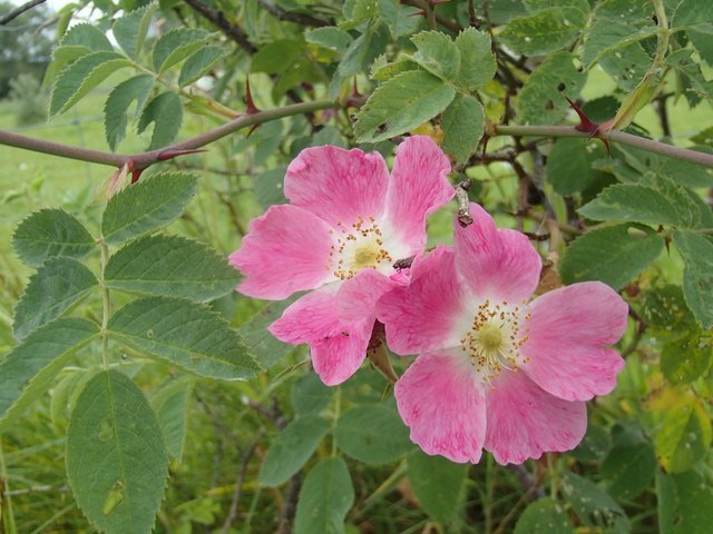
Wildlife thrives in this woodland sanctuary, and lucky visitors may catch a glimpse of red squirrels, badgers, or a variety of bird species, including woodpeckers and owls. The forest is also home to a diverse range of plant life, with vibrant wildflowers carpeting the forest floor during the spring and summer months.

Coed Ty'n-y-pwll provides an ideal escape from the hustle and bustle of everyday life, offering visitors a chance to connect with nature and enjoy the beauty of the Welsh countryside. Whether for a leisurely stroll, a family picnic, or a photography expedition, this woodland is a must-visit destination for nature enthusiasts and those seeking tranquility in Caernarfonshire.

If you have any feedback on the listing, please let us know in the comments section below.

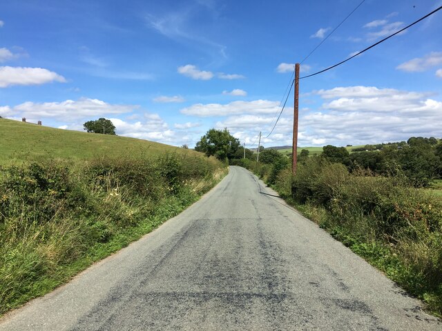
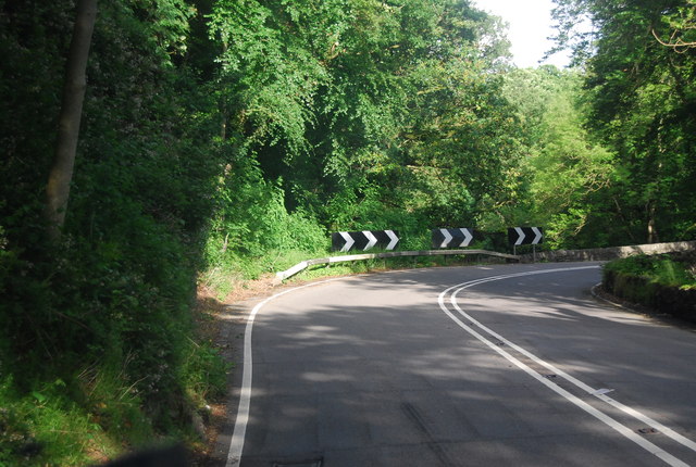
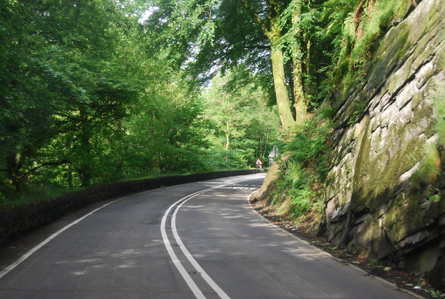
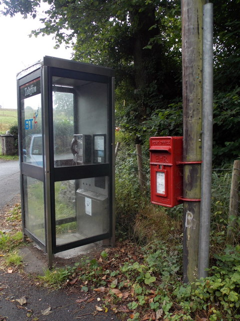
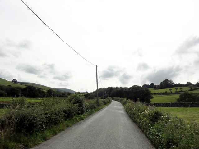
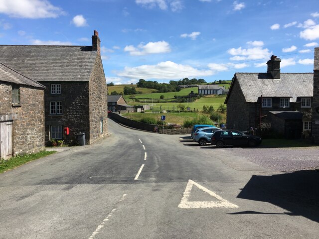
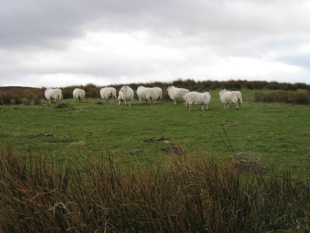
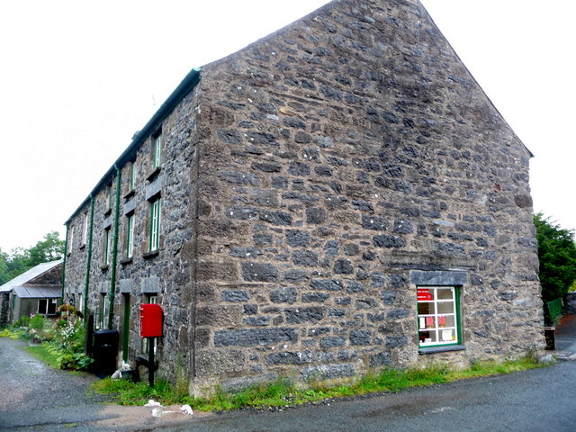
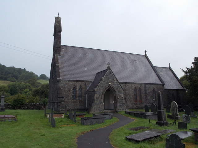
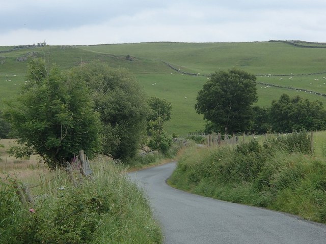
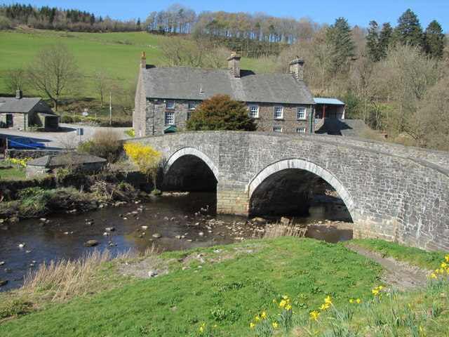
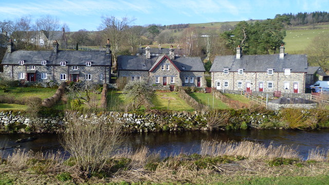
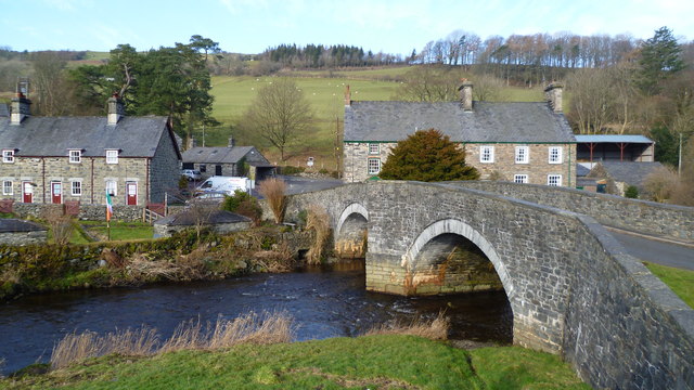
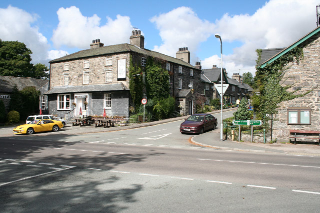
Coed Ty'n-y-pwll Images

Images are sourced within 2km of 53.030649/-3.7358007 or Grid Reference SH8349. Thanks to Geograph Open Source API. All images are credited.

B4407 near Ysbyty Ifan
A5, Padog The A5 is a major trunk road that runs 260 miles from London to Holyhead. It follows the course of an old Roman Road (Watling Street).
Wikipedia: <span class="nowrap"><a title="http://en.wikipedia.org/wiki/A5_road_(Great_Britain)" rel="nofollow ugc noopener" href="http://en.wikipedia.org/wiki/A5_road_(Great_Britain)">Link</a><img style="margin-left:2px;" alt="External link" title="External link - shift click to open in new window" src="https://s1.geograph.org.uk/img/external.png" width="10" height="10"/></span>
A5, Padog
The A5 is a major trunk road that runs 260 miles from London to Holyhead. It follows the course of an old Roman Road (Watling Street). Wikipedia: LinkExternal link
Narrow winding section of the A5 The A5 is a major trunk road that runs 260 miles from London to Holyhead. It follows the course of an old Roman Road (Watling Street).
Wikipedia: <span class="nowrap"><a title="http://en.wikipedia.org/wiki/A5_road_(Great_Britain)" rel="nofollow ugc noopener" href="http://en.wikipedia.org/wiki/A5_road_(Great_Britain)">Link</a><img style="margin-left:2px;" alt="External link" title="External link - shift click to open in new window" src="https://s1.geograph.org.uk/img/external.png" width="10" height="10"/></span>
Narrow winding section of the A5
The A5 is a major trunk road that runs 260 miles from London to Holyhead. It follows the course of an old Roman Road (Watling Street). Wikipedia: LinkExternal link
Padog: postbox № LL24 66 and phone The telephone box and postbox stand on the A5. The postbox, strapped to a telegraph pole, is emptied at 12:30 on weekday afternoons and an hour and a half earlier on Saturdays.
Padog: postbox № LL24 66 and phone
The telephone box and postbox stand on the A5. The postbox, strapped to a telegraph pole, is emptied at 12:30 on weekday afternoons and an hour and a half earlier on Saturdays.
Ysbyty Ifan - 2013 Ysbyty Ifan, Conwy County Borough, B4407, Bryniau Defaid
Ysbyty Ifan - 2013
Ysbyty Ifan, Conwy County Borough, B4407, Bryniau Defaid
Ysbyty Ifan
Ysbyty Ifan
Sheep near Pont Blaen-Eidda
Ysbyty Ifan: the post office Ysbyty Ifan had a village shop and post office, but the shop closed on 30 July 1999. The present postmistress restored the service in her house, from where she already ran a sewing business, and the post office reopened in March 2000 as a Thursday morning service.

That arrangement continues to this day, and as well as the usual post office services there is a very basic selection of items such as loaves and eggs available.
Ysbyty Ifan: the post office
Ysbyty Ifan had a village shop and post office, but the shop closed on 30 July 1999. The present postmistress restored the service in her house, from where she already ran a sewing business, and the post office reopened in March 2000 as a Thursday morning service. That arrangement continues to this day, and as well as the usual post office services there is a very basic selection of items such as loaves and eggs available.
Ysbyty Ifan: postbox № LL24 109 This postbox has doubtless been re-sited from the old shop when it closed in 2000, to this position outside the present-day post office - see <a href="https://www.geograph.org.uk/photo/3606315">SH8448 : Ysbyty Ifan: the post office</a> for more information.
Ysbyty Ifan: postbox № LL24 109
This postbox has doubtless been re-sited from the old shop when it closed in 2000, to this position outside the present-day post office - see SH8448 : Ysbyty Ifan: the post office for more information.
Ysbyty Ifan: euro currency available here Even in this tiniest of post offices, open for just four hours on a Thursday morning, foreign currency is available over the counter. I wonder how much call there is here for this service.

See <a href="https://www.geograph.org.uk/photo/3606315">SH8448 : Ysbyty Ifan: the post office</a> for more discussion on Ysbyty Ifan's post office.
Ysbyty Ifan: euro currency available here
Even in this tiniest of post offices, open for just four hours on a Thursday morning, foreign currency is available over the counter. I wonder how much call there is here for this service. See SH8448 : Ysbyty Ifan: the post office for more discussion on Ysbyty Ifan's post office.
Ysbyty Ifan: direction to Pentrevoelas An old stone direction sign on the bridge in the centre of the village, with a shapely finger pointing the traveller towards Pentrevoelas (note the English spelling; it would be shown as Pentrefoelas nowadays) with a stated distance of 3 miles.
Ysbyty Ifan: direction to Pentrevoelas
An old stone direction sign on the bridge in the centre of the village, with a shapely finger pointing the traveller towards Pentrevoelas (note the English spelling; it would be shown as Pentrefoelas nowadays) with a stated distance of 3 miles.
Ysbyty Ifan: the war memorial A small war memorial at the roadside; the parish church is in the background.
Ysbyty Ifan: the war memorial
A small war memorial at the roadside; the parish church is in the background.
Ysbyty Ifan: parish church of St. John Pictured in a horrid drizzle, St. John's church stands on the lane heading east from the village centre. A hostel had been set up here by the Knights of St. John in the late 12th century, the village being on the pilgrimage route to Holywell. The hostel was abolished in 1540 but the building remained as the parish church before being replaced by the current building in 1860.

No doubt, this history is reflected in the name of the village, ysbyty being the Welsh word for hospital.
Ysbyty Ifan: parish church of St. John
Pictured in a horrid drizzle, St. John's church stands on the lane heading east from the village centre. A hostel had been set up here by the Knights of St. John in the late 12th century, the village being on the pilgrimage route to Holywell. The hostel was abolished in 1540 but the building remained as the parish church before being replaced by the current building in 1860. No doubt, this history is reflected in the name of the village, ysbyty being the Welsh word for hospital.
Lane above Pont Caletwyr The lane is an attractive back route between Ysbyty Ifan and Pentrefoelas.
Lane above Pont Caletwyr
The lane is an attractive back route between Ysbyty Ifan and Pentrefoelas.
Wild rose by a Welsh country lane Lovely pink rose in flower.
Wild rose by a Welsh country lane
Lovely pink rose in flower.
Bridge over Afon Conwy
Part of Ysbyty Ifan village One of the prettiest villages in Snowdonia I think.
Part of Ysbyty Ifan village
One of the prettiest villages in Snowdonia I think.
The road bridge in the village at Ysbyty Ifan A graceful and understated bridge.
The road bridge in the village at Ysbyty Ifan
A graceful and understated bridge.
Show me another place!

Coed Ty'n-y-pwll is located at Grid Ref: SH8349 (Lat: 53.030649, Lng: -3.7358007)

Unitary Authority: Conwy

Police Authority: North Wales

What 3 Words

///equipment.paths.flannel. Near Betws-y-Coed, Conwy

Related Wikis

Ysbyty Ifan

Ysbyty Ifan (often formerly anglicised as Yspytty Ifan) is a small, historic village and community in the Conwy County Borough of Wales. The population...

Rhiw Llwyd

Rhiw Llwyd is the name of an early medieval Wales lordship which was created in the Kingdom of Gwynedd in the 12th century for Tomas ap Rhodri ab Owain...

Afon Merddwr

Afon Merddwr is a river in the south of the county of Conwy, Wales. It is a tributary of the River Conwy and joins it near Pentrefoelas. It is about 10...

Pentrefoelas

Pentrefoelas is a village and community in Conwy County Borough, Wales. The village lies on the A5 road between Betws-y-Coed to the west and Cerrigydrudion...

Nearby Amenities

Located within 500m of 53.030649,-3.7358007
Created By: Merkaartor 0.12
Lat/Long: 53.0342716/-3.7323903
Created By: Merkaartor 0.12
Lat/Long: 53.0334716/-3.7318324
Created By: Merkaartor 0.12
Lat/Long: 53.0331812/-3.7314355
Created By: Merkaartor 0.12
Lat/Long: 53.0329942/-3.7309312
Created By: Merkaartor 0.12
Lat/Long: 53.0318199/-3.7291824
Created By: Merkaartor 0.12
Lat/Long: 53.0314521/-3.7293326
Created By: Merkaartor 0.12
Lat/Long: 53.030994/-3.729236
Created By: Merkaartor 0.12
Lat/Long: 53.0302327/-3.729
Created By: Merkaartor 0.12
Lat/Long: 53.0298069/-3.7290429
Created By: Merkaartor 0.12
Lat/Long: 53.0295293/-3.7288284
Created By: Merkaartor 0.12
Lat/Long: 53.0291035/-3.7288284
Bryn-draenen
Place: isolated_dwelling
Lat/Long: 53.0339409/-3.7390004
The data included in this document is from www.openstreetmap.org. The data is made available under ODbL.

Have you been to Coed Ty'n-y-pwll?

Leave your review of Coed Ty'n-y-pwll below (or comments, questions and feedback).