Abercrave Wood

Wood, Forest in Brecknockshire

Wales

Abercrave Wood

OS Trig point at Cribarth Number on flush bracket is S2024
OS Trig point at Cribarth Credit: Janine Forbes

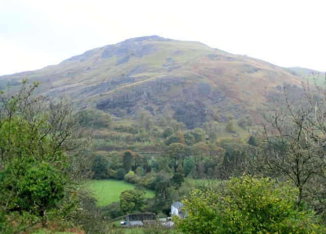
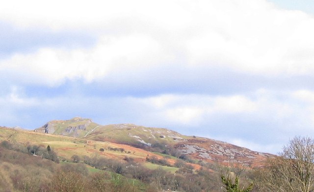
Abercrave Wood, located in the county of Brecknockshire, Wales, is a picturesque forest renowned for its natural beauty and rich biodiversity. Covering an area of approximately 100 acres, the wood is nestled in the heart of the Brecon Beacons National Park, making it a popular destination for nature enthusiasts and hikers.

The wood is predominantly composed of native broadleaf trees, including oak, beech, and ash, which create a dense canopy that provides shade and shelter to a variety of flora and fauna. The forest floor is adorned with a vibrant carpet of bluebells, ferns, and wildflowers during the spring and summer months, adding to the enchanting ambiance.

Abercrave Wood is crisscrossed by a network of well-maintained trails, allowing visitors to explore the area at their own pace. These pathways lead to hidden glades, babbling brooks, and small waterfalls, providing a sense of tranquility and escape from the hustle and bustle of daily life.

The wood is home to a diverse range of wildlife, including red squirrels, badgers, and various species of birds. Birdwatchers can spot woodpeckers, buzzards, and even the elusive tawny owl. In addition, the nearby River Tawe is a haven for otters, which can occasionally be spotted playing in the water.

Abercrave Wood offers a peaceful retreat for those seeking solace in nature's embrace. Its idyllic scenery, gentle trails, and abundant wildlife make it a perfect destination for nature lovers and a must-visit location for anyone exploring the natural wonders of Brecknockshire.

If you have any feedback on the listing, please let us know in the comments section below.

Abercrave Wood Images

Images are sourced within 2km of 51.805134/-3.6969592 or Grid Reference SN8313. Thanks to Geograph Open Source API. All images are credited.

OS Trig point at Cribarth Number on flush bracket is S2024
OS Trig point at Cribarth
Number on flush bracket is S2024
Limestone with chert banding Group: Carboniferous Limestone, Formation: Upper Limestone. The chert here defines the bedding planes as they were deposited from a siliceous ooze at the same time as the limestone. The presence of chert lenses in joints does infer that some at least was post depositional.
Limestone with chert banding
Group: Carboniferous Limestone, Formation: Upper Limestone. The chert here defines the bedding planes as they were deposited from a siliceous ooze at the same time as the limestone. The presence of chert lenses in joints does infer that some at least was post depositional.
Limestone with chert An anticline of approximate dip 30 degrees NW
Limestone with chert
An anticline of approximate dip 30 degrees NW
Swallow (or Sink) Holes Indicative of limestone areas. The limestone is eroded by water and underground cave systems may form causing collapse at the surface (collapsed swallow holes). These swallow holes are as yet just depressions in the surface.
Swallow (or Sink) Holes
Indicative of limestone areas. The limestone is eroded by water and underground cave systems may form causing collapse at the surface (collapsed swallow holes). These swallow holes are as yet just depressions in the surface.
The Sleeping Giant Cribarth viewed from the A4067 at SN804120.
From this angle the hill resembles the left profile of the head and chest of a man on his back - hence "Sleeping Giant".
The Sleeping Giant
Cribarth viewed from the A4067 at SN804120. From this angle the hill resembles the left profile of the head and chest of a man on his back - hence "Sleeping Giant".
Church outside Abercraf This church is right on the side of the A4067 north out of Abercraf.
Church outside Abercraf
This church is right on the side of the A4067 north out of Abercraf.
Cribarth from Penwyllt This is the northeast side of Cribarth as seen from the road to Penwyllt.
Cribarth from Penwyllt
This is the northeast side of Cribarth as seen from the road to Penwyllt.
Abercraf ... ... the very popular Abercrave Inn.
Abercraf ...
... the very popular Abercrave Inn.
Stile at crossing of public footpaths at Pen-cribarth
Ruin of old farmhouse at Pen-cribarth
Shake hole with hut circle A very unusual place to find a hut circle
Shake hole with hut circle
A very unusual place to find a hut circle
Hut Circle
Hut Circle
Ruin of Drovers Inn Ruin of Drovers Inn on a drovers road. Sheep and Geese were kept in a walled enclosure whilst drovers overnighted in the inn.
Ruin of Drovers Inn
Ruin of Drovers Inn on a drovers road. Sheep and Geese were kept in a walled enclosure whilst drovers overnighted in the inn.
Part of walled enclosure around ruined drovers inn at Cribarth
Pant y Garreg Fawr This basin in the limestone country just west of Cribarth may be the largest natural depression in the whole of South Wales.  On the 25K map it is defined by 3 concentric ring contours, though curiously none are shown on the 50K map.  At least one of the smaller swallow holes in the floor of the larger depression extends downwards as a shaft.
Pant y Garreg Fawr
This basin in the limestone country just west of Cribarth may be the largest natural depression in the whole of South Wales. On the 25K map it is defined by 3 concentric ring contours, though curiously none are shown on the 50K map. At least one of the smaller swallow holes in the floor of the larger depression extends downwards as a shaft.
Erratic block on Cribarth There is a scatter of erratic blocks of the Old Red Sandstone which contrast sharply with the Carboniferous Limestone which makes up the ridge of Cribarth.  Stranded here when the ice receded at the end of the last Ice Age, they have also been left by the quarry workers who re-modelled the summit of this hill.
Erratic block on Cribarth
There is a scatter of erratic blocks of the Old Red Sandstone which contrast sharply with the Carboniferous Limestone which makes up the ridge of Cribarth. Stranded here when the ice receded at the end of the last Ice Age, they have also been left by the quarry workers who re-modelled the summit of this hill.
Pen-y-cae Road Scene A4067 as it enters Pen-y-cae
Pen-y-cae Road Scene
A4067 as it enters Pen-y-cae
View down onto Afon Tawe A footpath runs along the top of a 20m high cliff and gives glimpses through the trees of the slabby bed of the river.
View down onto Afon Tawe
A footpath runs along the top of a 20m high cliff and gives glimpses through the trees of the slabby bed of the river.
Show me another place!

Abercrave Wood is located at Grid Ref: SN8313 (Lat: 51.805134, Lng: -3.6969592)

Unitary Authority: Powys

Police Authority: Dyfed Powys

What 3 Words

///honeybees.filer.cones. Near Seven Sisters, Neath Port Talbot

Nearby Locations

Abercrave Wood Ynyswen

Related Wikis

Nant Llech

The Nant Llech is a minor river in Powys, Wales and which lies wholly within the Brecon Beacons National Park. The name means 'slab stream', presumably...
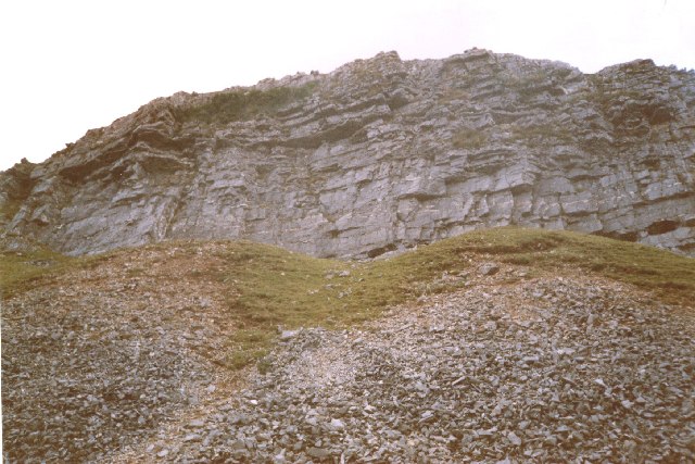
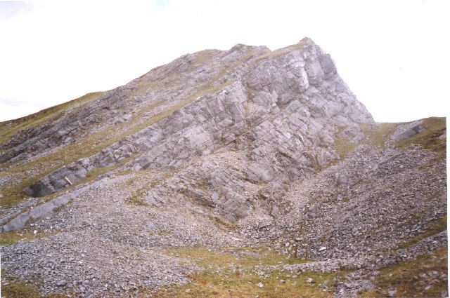
Cribarth

Cribarth (nicknamed the Sleeping Giant) is a hill in the Brecon Beacons National Park, Powys, Wales, in the traditional county of Brecknockshire. The...

Wales Ape and Monkey Sanctuary

Wales Ape and Monkey Sanctuary is an animal sanctuary between Caehopkin and Abercraf in Powys, Wales. It became the Wales Ape & Monkey Sanctuary in December...

Abercraf

Abercrâf or Abercrave is a village in Powys, Wales, in the community of Ystradgynlais and within the historic boundaries of the county of Brecknockshire...

Nearby Amenities

Located within 500m of 51.805134,-3.6969592
Traffic Calming: cushion
Lat/Long: 51.8022613/-3.6960539
Post Box
Collection Times: Mo-Fr 15:45; Sa 08:00
Post Box Type: lamp
Ref: SA9 566
Royal Cypher: EIIR
Royal Cypher Wikidata: Q33102113
Lat/Long: 51.8026041/-3.6950995
Direction: 255
Generator Method: photovoltaic
Generator Output Electricity: yes
Generator Solar Modules: 6
Generator Source: solar
Generator Type: solar_photovoltaic_panel
Location: roof
Power: generator
Lat/Long: 51.8016129/-3.6956985
Direction: 75
Generator Method: photovoltaic
Generator Output Electricity: yes
Generator Solar Modules: 6
Generator Source: solar
Generator Type: solar_photovoltaic_panel
Location: roof
Power: generator
Lat/Long: 51.8016191/-3.6956562
Ynyswen
Place: hamlet
Wikidata: Q60860761
Lat/Long: 51.8053449/-3.6906898
Traffic Calming: cushion
Lat/Long: 51.8026389/-3.6949254
The Artist & Makers Emporium
Addr Postcode: SA9 1YP
Shop: gift
Lat/Long: 51.8040101/-3.6899669
Bus Stop
Ynyswen, St David's Church
Bus: yes
Public Transport: platform
Lat/Long: 51.8024551/-3.6954215
Bus Stop
Ynyswen, St David's Church
Bus: yes
Naptan AtcoCode: 5610AWE90385
Naptan NaptanCode: powjgdg
Public Transport: platform
Lat/Long: 51.8023373/-3.6954913
The data included in this document is from www.openstreetmap.org. The data is made available under ODbL.

Have you been to Abercrave Wood?

Leave your review of Abercrave Wood below (or comments, questions and feedback).