Coed Cae'r-dynyn
Wood, Forest in Merionethshire
Wales
Coed Cae'r-dynyn

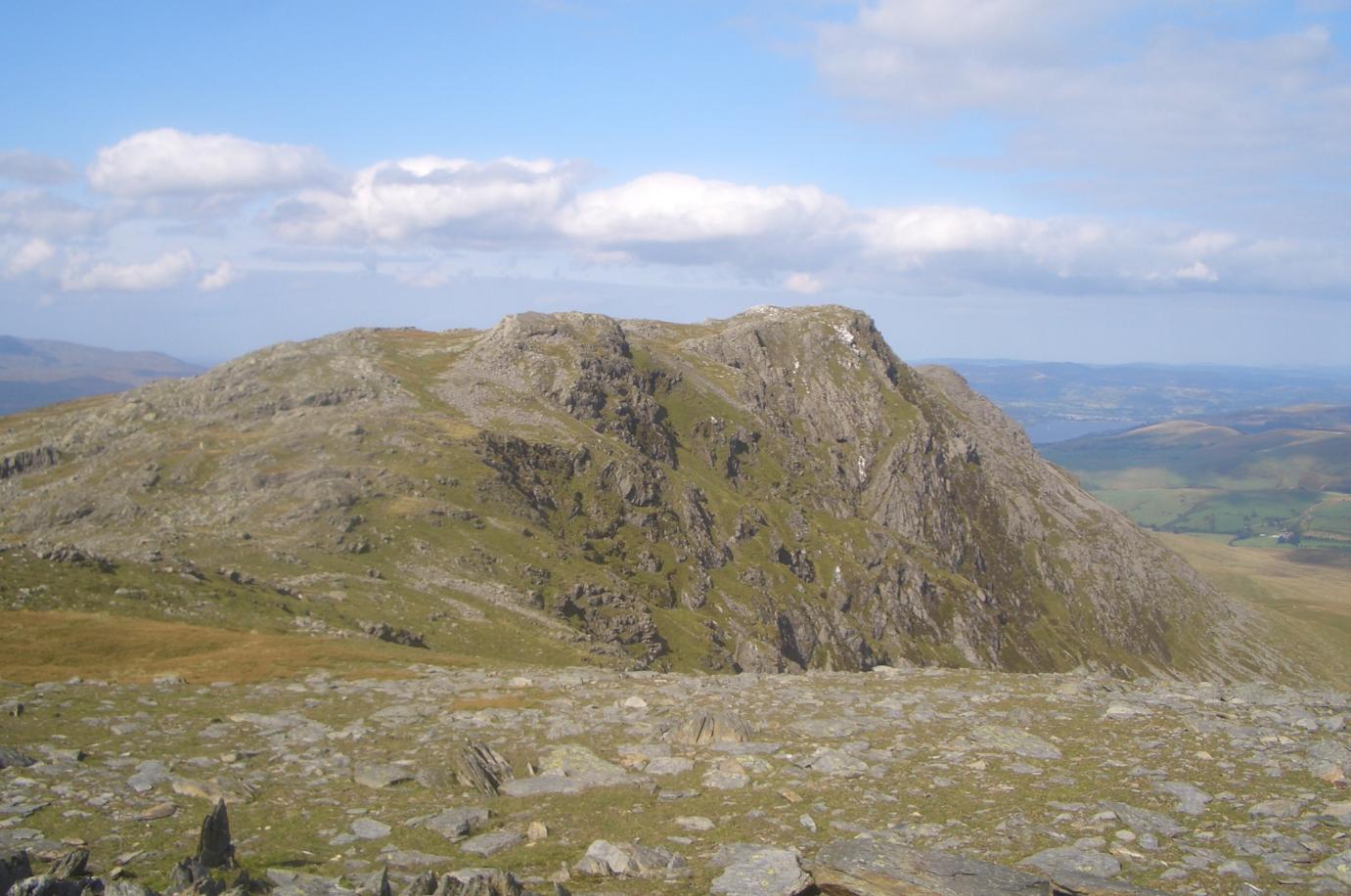
Coed Cae'r-dynyn, located in Merionethshire, is a picturesque woodland area renowned for its natural beauty and rich biodiversity. The name "Cae'r-dynyn" translates to "Field of the Ash Trees," reflecting the prevalence of ash trees within the forest. This enchanting wood, with its dense vegetation and ancient trees, covers a vast area of approximately 500 acres.
The woodland is situated within the Snowdonia National Park, one of the most scenic and ecologically diverse regions in Wales. Coed Cae'r-dynyn boasts a diverse range of flora and fauna, making it a haven for nature enthusiasts and wildlife lovers. The forest is home to a variety of tree species, including oak, birch, willow, and hazel. These trees provide a habitat for numerous bird species, such as woodpeckers, owls, and finches, as well as small mammals like squirrels, foxes, and badgers.
Visitors to Coed Cae'r-dynyn can enjoy an array of nature walks, hiking trails, and picnic spots, allowing them to immerse themselves in the tranquil surroundings. The forest is also a popular destination for birdwatching, with its diverse avian population attracting enthusiasts from far and wide.
In addition to its natural beauty, Coed Cae'r-dynyn holds historical significance. The woodland is dotted with remnants of ancient settlements and historic structures, including old mine workings and ruins of cottages from the industrial era.
Overall, Coed Cae'r-dynyn offers a captivating blend of natural splendor and cultural heritage, making it a must-visit destination for those seeking to explore the wonders of Merionethshire.
If you have any feedback on the listing, please let us know in the comments section below.
Coed Cae'r-dynyn Images
Images are sourced within 2km of 52.804902/-3.7399525 or Grid Reference SH8224. Thanks to Geograph Open Source API. All images are credited.


Coed Cae'r-dynyn is located at Grid Ref: SH8224 (Lat: 52.804902, Lng: -3.7399525)
Unitary Authority: Gwynedd
Police Authority: North Wales
What 3 Words
///wasp.customers.trump. Near Llanuwchllyn, Gwynedd
Nearby Locations
Related Wikis

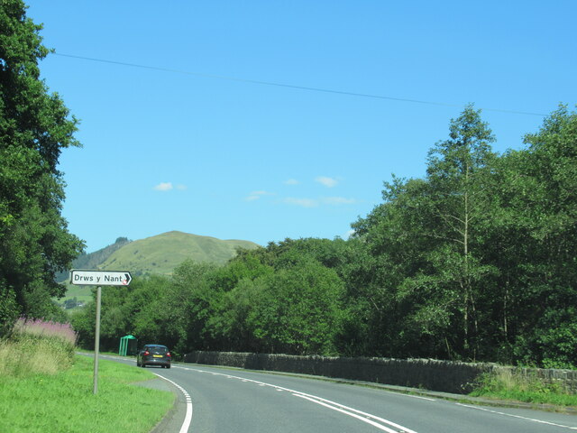
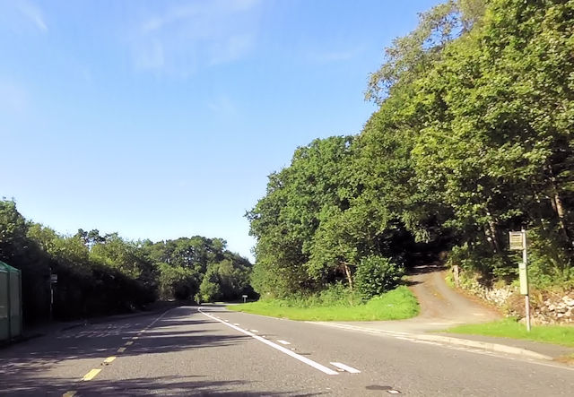
Drws-y-Nant railway station
Drws-y-Nant railway station (Pron: Droos-a-Nant) in Gwynedd, Wales, was formerly a station on the Ruabon to Barmouth line. The station had two platforms...
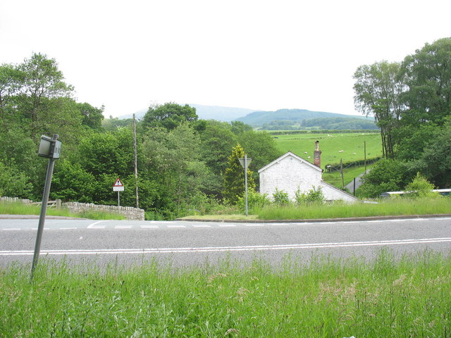
Drws-y-Nant
Drws-y-Nant is a village in Gwynedd, Wales. It was formerly served by the Drws-y-Nant railway station but this closed in 1965.

Allt y Benglog National Nature Reserve
Allt y Benglog is a small national nature reserve near Dolgellau in Wales.Its position on the lower slopes of Rhobell Fawr, one of north Wales’ extinct...

Dduallt
Dduallt (English: Black hill) (pronounced [ðɨ.æɬt]) is a mountain in central Snowdonia, north Wales. It is the sister peak of Rhobell Fawr. It lies north...
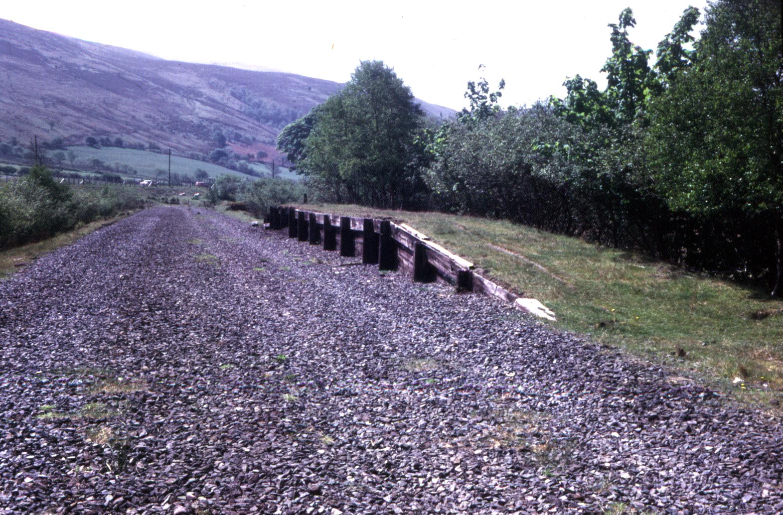
Garneddwen Halt railway station
Garneddwen Halt in Merioneth (now Gwynedd), Wales, was formerly a station at the summit of the Great Western Railway Ruabon to Barmouth line. It closed...

Gwaun y Llwyni
Gwaun y Llwyni is a subsidiary summit of Aran Fawddwy in southern Snowdonia, Wales. It forms a part of the Aran mountain range. The peak's southern face...
Aran Benllyn
Aran Benllyn is a subsidiary summit of Aran Fawddwy in southern Snowdonia, North Wales, Wales, United Kingdom. It is the second highest peak in the Aran...

Foel Hafod-fynydd
Foel Hafod-fynydd is a subsidiary summit of Aran Fawddwy in southern Snowdonia, North Wales, Wales, United Kingdom. It tops the east ridge of Erw y Ddafad...
Nearby Amenities
Located within 500m of 52.804902,-3.7399525Have you been to Coed Cae'r-dynyn?
Leave your review of Coed Cae'r-dynyn below (or comments, questions and feedback).