Coed Bryn-crogwr

Wood, Forest in Montgomeryshire

Wales

Coed Bryn-crogwr

Glyndwr's Way near Abercegir
Glyndwr's Way near Abercegir Credit: Dave Kelly

The requested URL returned error: 429 Too Many Requests

If you have any feedback on the listing, please let us know in the comments section below.

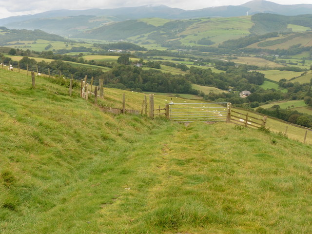
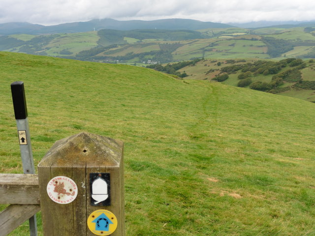
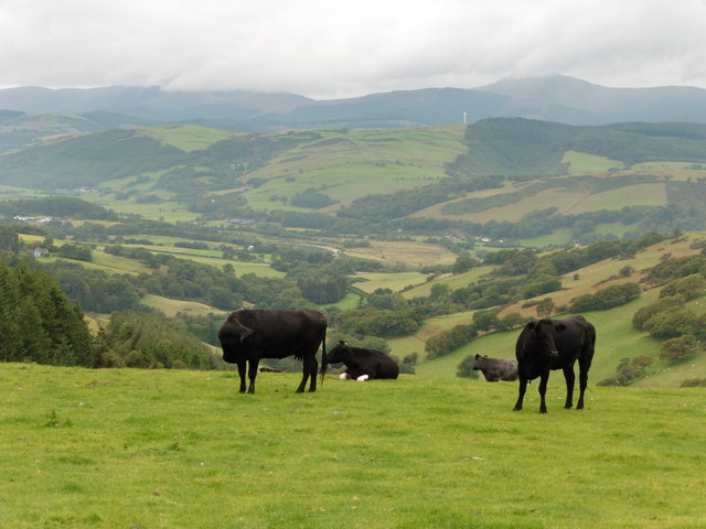
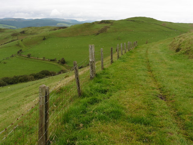
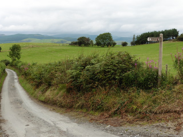
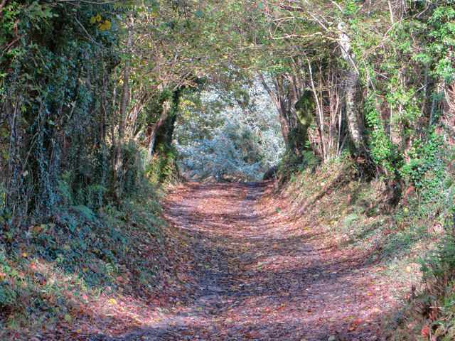
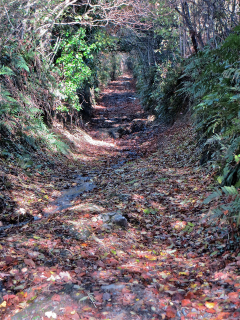
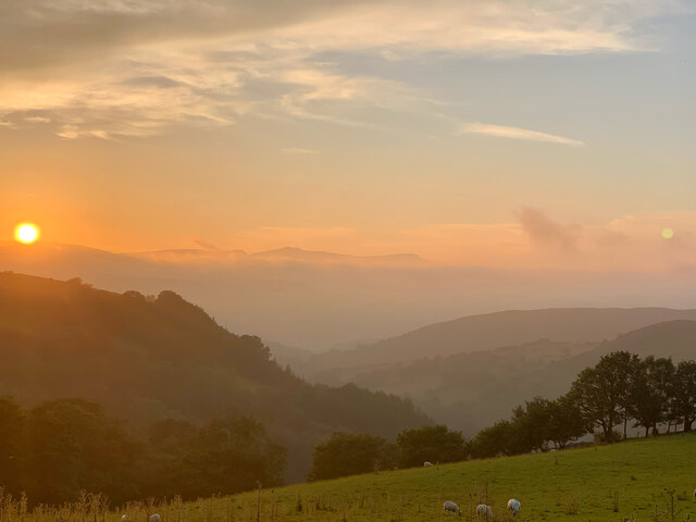
Coed Bryn-crogwr Images

Images are sourced within 2km of 52.602341/-3.735618 or Grid Reference SH8201. Thanks to Geograph Open Source API. All images are credited.

Glyndwr's Way near Abercegir
View from Glyndwr's Way near Abercegir
Glyndwr's Way near Abercegir
Glyndwr's Way near Cefn Coch
Glyndwr's Way near Cemmaes Road
Maen Llwyd / Carreg y Noddfa 'Sanctuary stone', standing on farmland at Rhôs Dyrnog [n.b. not 'Drynog' as per Ordnance Survey]
Maen Llwyd / Carreg y Noddfa
'Sanctuary stone', standing on farmland at Rhôs Dyrnog [n.b. not 'Drynog' as per Ordnance Survey]
Hen wtra / Old lane Lôn hynafol rhwng Tal-y-Wern a Darowen / Ancient lane between Tal-y-Wern and Darowen.
Hen wtra / Old lane
Lôn hynafol rhwng Tal-y-Wern a Darowen / Ancient lane between Tal-y-Wern and Darowen.
Hen wtra uwchben Ty Nant Ancient lane above Ty Nant. 'Wtra' (pronounced 'ootruh') is an old Montgomeryshire Welsh word for an old, sunken lane, and this is a perfect example. This was once the main road from Darowen to the north.
Hen wtra uwchben Ty Nant
Ancient lane above Ty Nant. 'Wtra' (pronounced 'ootruh') is an old Montgomeryshire Welsh word for an old, sunken lane, and this is a perfect example. This was once the main road from Darowen to the north.
Maen Llwyd, Cefncoch One of three 'sanctuary stones' (cerrig y noddfa), the Cefncoch stone is small, but impressive, especially in its apparent clear orientation towards the peak of Fron Goch.
Maen Llwyd, Cefncoch
One of three 'sanctuary stones' (cerrig y noddfa), the Cefncoch stone is small, but impressive, especially in its apparent clear orientation towards the peak of Fron Goch.
Camdda o dan Goed Cefncoch Stile below Coed Cefncoch.
Camdda o dan Goed Cefncoch
Stile below Coed Cefncoch.
Distant view towards Cadair Idris at sunset From the public bridleway on Bryn-y-Brain, the summer sunset view towards Cadair Idris, approximately 15 miles away.
Distant view towards Cadair Idris at sunset
From the public bridleway on Bryn-y-Brain, the summer sunset view towards Cadair Idris, approximately 15 miles away.
Across Nant Gwydol September sunrise over the cattle at Rhos Dyrnog
Across Nant Gwydol
September sunrise over the cattle at Rhos Dyrnog
Hen wal yr yr eira An old boundary wall on the side of Bryn-y-Brain, as the snow begins.
Hen wal yr yr eira
An old boundary wall on the side of Bryn-y-Brain, as the snow begins.
Lôn o dan Rhiw Goch Looking down the steep lane to Tal-y-Wern, with Fron Goch rising behind.
Lôn o dan Rhiw Goch
Looking down the steep lane to Tal-y-Wern, with Fron Goch rising behind.
Show me another place!

Coed Bryn-crogwr is located at Grid Ref: SH8201 (Lat: 52.602341, Lng: -3.735618)

Unitary Authority: Powys

Police Authority: Dyfed Powys

What 3 Words

///rocket.widget.unzipped. Near Cwm-Llinau, Powys

Related Wikis

Abercegir

Abercegir () is a small rural village in Powys, Wales. It lies approximately 4 miles east of the town of Machynlleth and is 81 miles (131 km) from Cardiff...

Commins Coch

Commins Coch is a small village on the A470 in the county of Powys in Wales. It is part of the Glantwymyn community. Commins Coch is notable for the narrow...

Commins Coch Halt railway station

Commins Coch Halt railway station was a station in Commins Coch, Powys, Wales. The station opened on 19 October 1931 and closed on 14 June 1965. The halt...

Cemmaes Road

Cemmaes Road (Welsh: Glantwymyn; ) is a village in Powys, Wales. It is in the community (civil parish) of Glantwymyn. The village was named in English...

Nearby Amenities

Located within 500m of 52.602341,-3.735618
Fixme: ford or bridge?
Lat/Long: 52.6038276/-3.7381136
Building: yes
Lat/Long: 52.6014212/-3.7367207
Place Of Worship
Religion: christian
Lat/Long: 52.6014892/-3.728974
Telephone
Booth: K6
Covered: booth
Listed Status: Grade II
Operator: BT
Phone: +44 1650 511250
Lat/Long: 52.6011528/-3.7293267
Post Box
Post Box Type: wall
Royal Cypher: GVIR
Royal Cypher Wikidata: Q33102169
Lat/Long: 52.6012424/-3.7287366
The data included in this document is from www.openstreetmap.org. The data is made available under ODbL.

Have you been to Coed Bryn-crogwr?

Leave your review of Coed Bryn-crogwr below (or comments, questions and feedback).