Coed Bron-garth

Wood, Forest in Caernarfonshire

Wales

Coed Bron-garth

Churchyard at Llandrillo yn Rhos The churchyard looking at the parish church at Llandrillo yn Rhos
Churchyard at Llandrillo yn Rhos Credit: Dot Potter

Coed Bron-garth is a charming woodland located in Caernarfonshire, Wales. Spread across a vast expanse, this forest is a haven of natural beauty and tranquility. The name "Bron-garth" translates to "wood on a steep slope," which accurately reflects the topography of the area.

This woodland boasts a diverse range of flora and fauna, making it an ideal destination for nature enthusiasts and wildlife lovers. The forest is predominantly composed of oak, birch, and beech trees, creating a lush and vibrant ecosystem. Visitors can enjoy leisurely walks along the well-maintained trails, immersing themselves in the peaceful ambiance while embracing the sights and sounds of nature.

Coed Bron-garth is home to a variety of wildlife species, including red squirrels, badgers, foxes, and numerous bird species. Birdwatchers will be delighted by the opportunity to spot rare and migratory birds that frequent the area, such as the pied flycatcher and redstart.

For those seeking outdoor activities, the forest offers several options. There are designated picnic areas where families and friends can gather and enjoy a meal surrounded by the serene atmosphere. Additionally, the forest provides opportunities for cycling and horse riding, allowing visitors to explore the woodland in alternative ways.

Coed Bron-garth is a cherished natural gem in Caernarfonshire, providing a peaceful retreat from the hustle and bustle of daily life. Whether one seeks solitude, a scenic walk, or an encounter with nature, this woodland offers an alluring experience for all who venture within its boundaries.

If you have any feedback on the listing, please let us know in the comments section below.

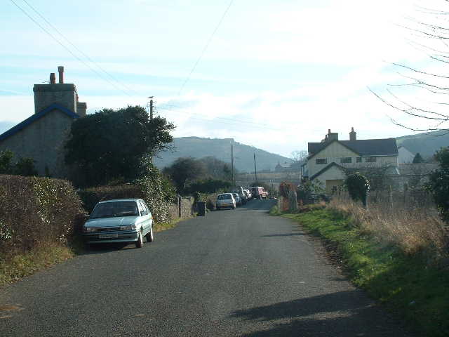
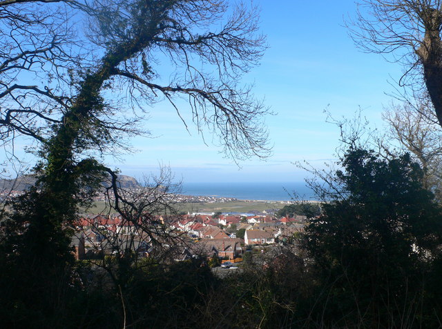
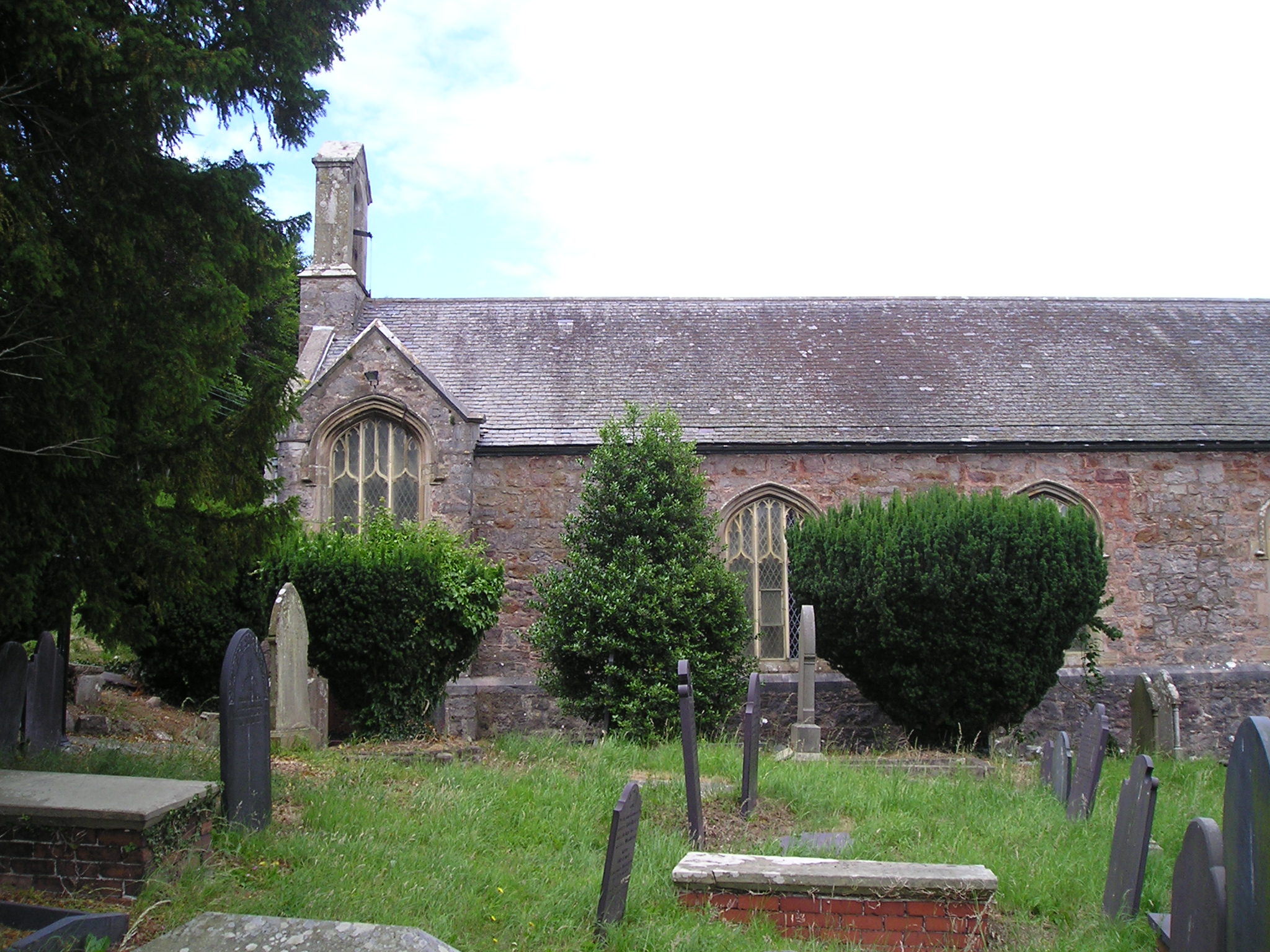
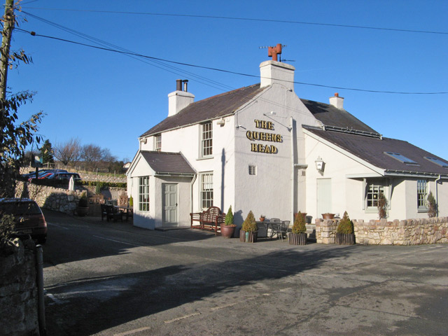
Coed Bron-garth Images

Images are sourced within 2km of 53.296142/-3.7713539 or Grid Reference SH8279. Thanks to Geograph Open Source API. All images are credited.

Churchyard at Llandrillo yn Rhos The churchyard looking at the parish church at Llandrillo yn Rhos
Churchyard at Llandrillo yn Rhos
The churchyard looking at the parish church at Llandrillo yn Rhos
St. Trillo's Church This is a view from the road looking NNW towards St. Trillo's church at Llandrillo yn Rhos.
St. Trillo's Church
This is a view from the road looking NNW towards St. Trillo's church at Llandrillo yn Rhos.
Glanwydden Looking SE towards the village centre
Glanwydden
Looking SE towards the village centre
Near Pen Y Bont Looking Northwards with a view across the whole square
Near Pen Y Bont
Looking Northwards with a view across the whole square
Coleg Llandrillo Cymru No longer 'The Tech', Coleg Llandrillo has been given a new front in keeping with its premier position as further-education provider to North Wales.
Coleg Llandrillo Cymru
No longer 'The Tech', Coleg Llandrillo has been given a new front in keeping with its premier position as further-education provider to North Wales.
Fields, Afon Ganol The road to Bryn Pydew climbs steeply away from Cystennin Road and the low-lying fields by the Afon Ganol which can be seen winding towards the bridge for Dinarth Hall. Ironically the Afon Ganol now flows to Glan Conwy <a href="https://www.geograph.org.uk/gridref/SH8076">SH8076</a>, the exact reverse of the flow of the Afon Conwy which came through the Mochdre gap in late-glacial times when its route to the sea was blocked by ice.
Fields, Afon Ganol
The road to Bryn Pydew climbs steeply away from Cystennin Road and the low-lying fields by the Afon Ganol which can be seen winding towards the bridge for Dinarth Hall. Ironically the Afon Ganol now flows to Glan Conwy SH8076, the exact reverse of the flow of the Afon Conwy which came through the Mochdre gap in late-glacial times when its route to the sea was blocked by ice.
Llys Euryn The site was acquired by Ednyfed Fychan, first Minister to Llywelyn Fawr, but the present building dates from the mid 15th century.
Llys Euryn
The site was acquired by Ednyfed Fychan, first Minister to Llywelyn Fawr, but the present building dates from the mid 15th century.
Llys Euryn 2
Llys Euryn 2
Tarth dros Fae Penrhyn / Morning mist over Penrhyn Bay
Glanwydden o'r de / Glanwydden from the south
Caeau rygbi / Rugby pitches
Yr Efail, Glanwydden Rather unusually in rural Creuddyn, this cottage has a tiled roof.
Yr Efail, Glanwydden
Rather unusually in rural Creuddyn, this cottage has a tiled roof.
Footpath on Bryn Euryn Bryn Euryn is a prominent limestone hill overlooking Rhos on Sea, part of it being a Site of Special Scientific Interest.  It has a network of paths, including the Summit Trail, which ascends to the iron age fort at the summit.
Footpath on Bryn Euryn
Bryn Euryn is a prominent limestone hill overlooking Rhos on Sea, part of it being a Site of Special Scientific Interest. It has a network of paths, including the Summit Trail, which ascends to the iron age fort at the summit.
View from half way up Bryn Euryn Looking over the top of Llandrillo-yn-Rhos towards the sea, and Little Ormes Head just behind the tree on the left.
View from half way up Bryn Euryn
Looking over the top of Llandrillo-yn-Rhos towards the sea, and Little Ormes Head just behind the tree on the left.
View north from Bryn Euryn The craggy hill ahead is Little Orme's Head, with the town of Penrhyn Bay at its foot. Nearer is Llandrillo-yn-Rhos.
View north from Bryn Euryn
The craggy hill ahead is Little Orme's Head, with the town of Penrhyn Bay at its foot. Nearer is Llandrillo-yn-Rhos.
Cliff at Bryn Euryn park Facing the carpark at the park.
Cliff at Bryn Euryn park
Facing the carpark at the park.
The Ship Pub on the corner of Tan-y-Bryn Road and Brompton Avenue in Llandrillo-yn-Rhos
The Ship
Pub on the corner of Tan-y-Bryn Road and Brompton Avenue in Llandrillo-yn-Rhos
Llandrillo Church Dedicated to St Trillo. The oldest portion of the church, the north aisle, dates back to the 12th C but there was probably a church here from much earlier times. <span class="nowrap"><a title="http://www.walesdirectory.co.uk/his/ch/drillo.htm" rel="nofollow ugc noopener" href="http://www.walesdirectory.co.uk/his/ch/drillo.htm">Link</a><img style="margin-left:2px;" alt="External link" title="External link - shift click to open in new window" src="https://s1.geograph.org.uk/img/external.png" width="10" height="10"/></span>
Llandrillo Church
Dedicated to St Trillo. The oldest portion of the church, the north aisle, dates back to the 12th C but there was probably a church here from much earlier times. LinkExternal link
Show me another place!

Coed Bron-garth is located at Grid Ref: SH8279 (Lat: 53.296142, Lng: -3.7713539)

Unitary Authority: Conwy

Police Authority: North Wales

What 3 Words

///full.deal.slug. Near Mochdre, Conwy

Related Wikis

Llangystennin

Llangystennin (sometimes spelt Llangwstennin) is a rural parish to the south-east of Llandudno and Llanrhos in Conwy County Borough, north Wales. Llangystennin...

Mochdre & Pabo railway station

Mochdre & Pabo railway station was located on the eastern edge of the village of Mochdre, Conwy (historically Denbighshire). == History == Opened 1 April...

Mochdre, Conwy

Mochdre [ˈmoːχdrɛ] is a village and an electoral ward to the west of Colwyn Bay in Conwy County Borough, Wales. Originally part of the municipal borough...

Glanwydden

Glanwydden is a small village located between Llandudno and Colwyn Bay in Conwy county borough, north Wales. == Amenities & History == The village has...

Nearby Amenities

Located within 500m of 53.296142,-3.7713539
Llangwstenin
Place: hamlet
Lat/Long: 53.2972907/-3.7687526
Power: tower
Lat/Long: 53.2930187/-3.7691311
Power: pole
Lat/Long: 53.2959011/-3.7643463
Power: pole
Lat/Long: 53.2926274/-3.768965
Power: pole
Lat/Long: 53.2936759/-3.7676105
Power: pole
Lat/Long: 53.2920583/-3.7695899
Power: tower
Lat/Long: 53.2947052/-3.7676291
Power: pole
Lat/Long: 53.2931629/-3.7682622
Power: tower
Lat/Long: 53.2957921/-3.7651939
Power: pole
Lat/Long: 53.2944294/-3.766492
Power: pole
Lat/Long: 53.295154/-3.7654192
Direction: 215
Generator Method: photovoltaic
Generator Output Electricity: yes
Generator Solar Modules: 12
Generator Source: solar
Generator Type: solar_photovoltaic_panel
Location: roof
Power: generator
Lat/Long: 53.2924125/-3.7702484
The data included in this document is from www.openstreetmap.org. The data is made available under ODbL.

Have you been to Coed Bron-garth?

Leave your review of Coed Bron-garth below (or comments, questions and feedback).