Coed Mawr
Wood, Forest in Merionethshire
Wales
Coed Mawr

Coed Mawr, located in Merionethshire, is a picturesque woodland area renowned for its natural beauty and rich history. Covering a vast expanse, this wood or forest, as its name suggests, is a haven for nature lovers and outdoor enthusiasts.
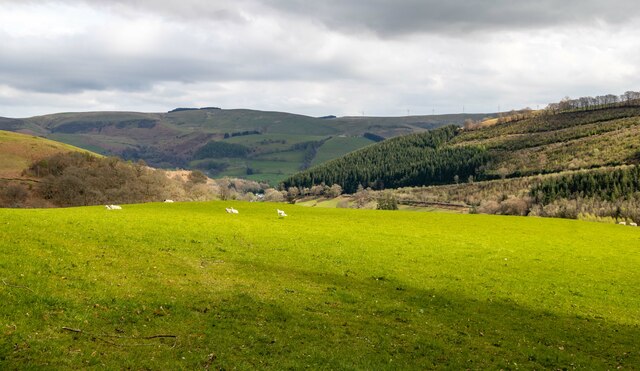
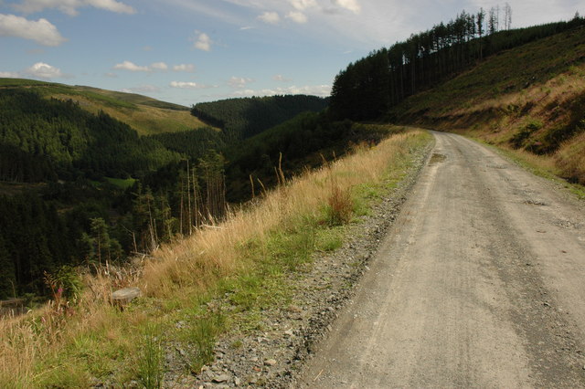
The landscape of Coed Mawr is characterized by dense forests, rolling hills, and meandering streams, creating a diverse and enchanting environment. The woodland is home to a wide variety of trees, including oak, beech, and ash, providing a habitat for numerous bird species, small mammals, and insects. Walking through the forest, visitors can enjoy the tranquil atmosphere and immerse themselves in the sights and sounds of nature.
Coed Mawr also holds historical significance, with remnants of ancient settlements and structures scattered throughout the area. Archaeological evidence suggests human occupation dating back thousands of years, and it is believed that the forest played a vital role in the lives of the early inhabitants. Today, visitors can explore these historical sites and learn about the ancient civilizations that once thrived in this region.
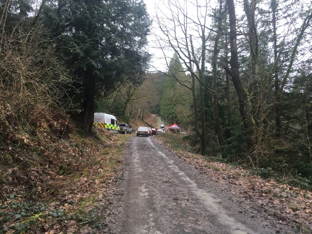
For outdoor enthusiasts, Coed Mawr offers a range of activities including hiking, mountain biking, and birdwatching. The forest is crisscrossed with well-maintained trails that cater to different skill levels, allowing visitors to explore the woodlands at their own pace.
In conclusion, Coed Mawr in Merionethshire is a captivating woodland area that combines natural beauty with a rich historical heritage. Whether it's a leisurely stroll through the forest or an adventurous hike, Coed Mawr provides a unique and immersive experience for all who visit.
If you have any feedback on the listing, please let us know in the comments section below.
Coed Mawr Images
Images are sourced within 2km of 52.69079/-3.7528857 or Grid Reference SH8111. Thanks to Geograph Open Source API. All images are credited.


Coed Mawr is located at Grid Ref: SH8111 (Lat: 52.69079, Lng: -3.7528857)
Unitary Authority: Gwynedd
Police Authority: North Wales
What 3 Words
///snowy.trade.defining. Near Cwm-Llinau, Powys
Nearby Locations
Related Wikis

Gartheiniog quarry
Gartheiniog quarry was a slate quarry served by the Hendre Ddu Tramway. It is located about a mile west of Aberangell in Merioneth (now Gwynedd), North...
Mynydd Hendre-ddu
Mynydd Hendre-ddu or Mynydd Hendreddu is a mountain in southern Snowdonia, Wales. It is one of a line of mountains running from Mynydd Dolgoed in the north...
Moel y Ffridd
Moel y Ffridd (also known as Foel y Ffridd) is a mountain in Wales. It lies north-west of the village of Aberangell and west of Mallwyd and is one of the...
Hendreddu quarry
Hendreddu quarry was a slate quarry about three miles west of Aberangell in Merioneth (now Gwynedd), North Wales, near Nant Hendreddu on the slopes of...
Nearby Amenities
Located within 500m of 52.69079,-3.7528857Have you been to Coed Mawr?
Leave your review of Coed Mawr below (or comments, questions and feedback).