Coed Maen Bleddyn
Wood, Forest in Caernarfonshire
Wales
Coed Maen Bleddyn
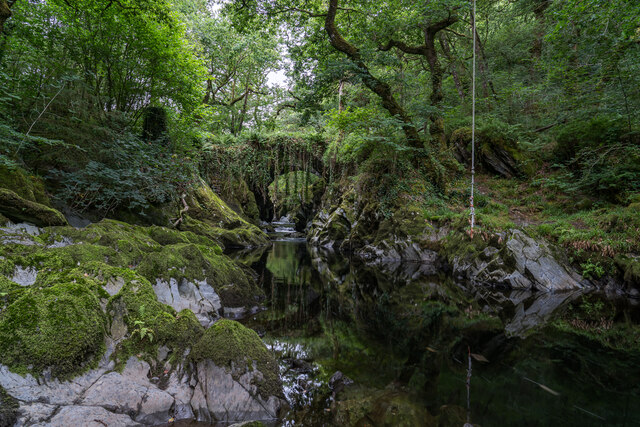
Coed Maen Bleddyn, located in Caernarfonshire, is a picturesque woodland area known for its natural beauty and rich history. This woodland, which translates to "Wood of Bleddyn's Stone," is nestled in the heart of North Wales, surrounded by rolling hills and stunning landscapes.
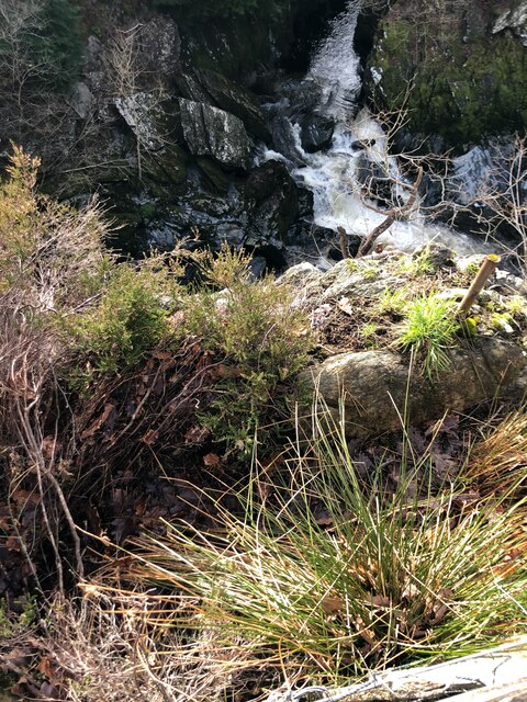
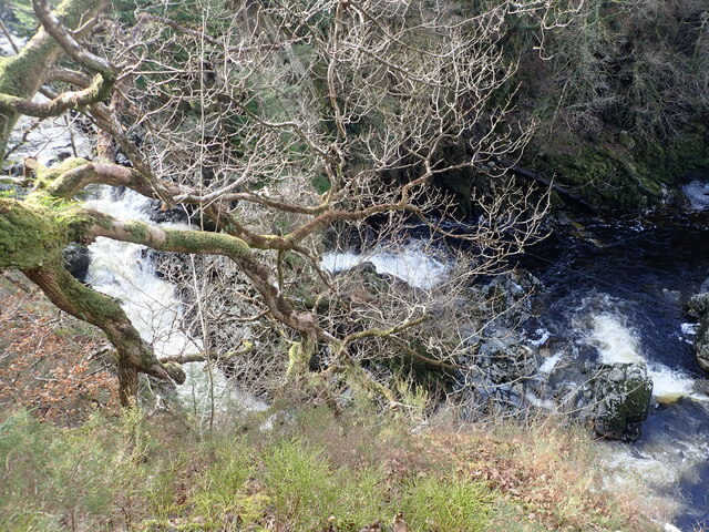
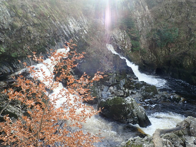
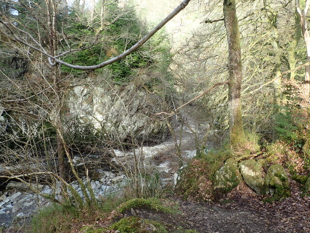
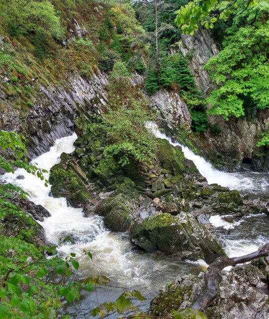
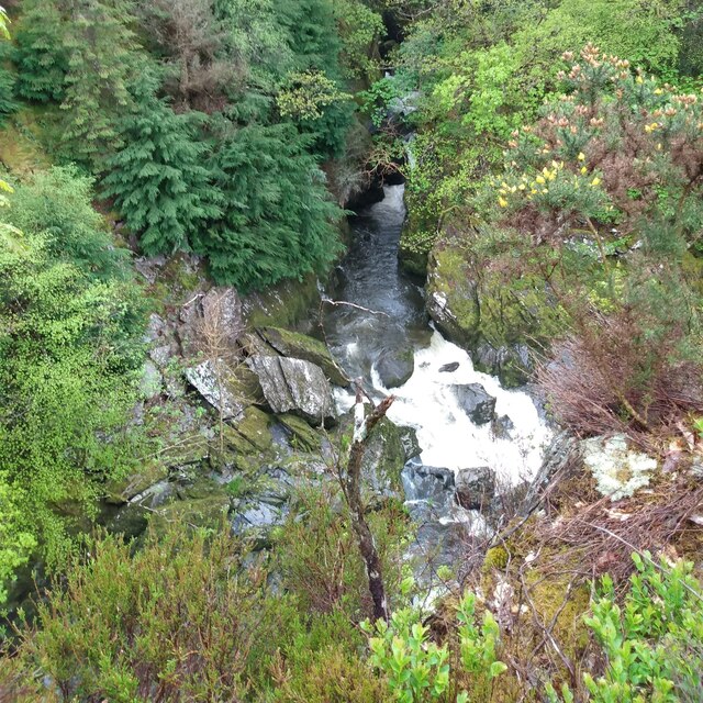
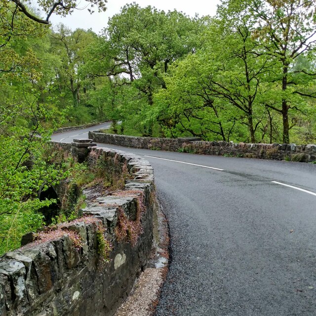
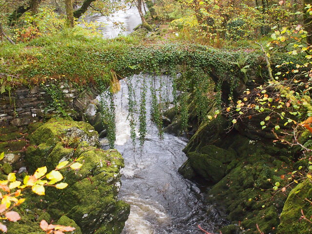
The forest covers an area of approximately 500 acres and is predominantly composed of native trees such as oak, birch, and beech. These trees create a dense canopy that provides a habitat for a variety of wildlife, including birds, squirrels, and deer. Walking through the woodland, visitors can enjoy the tranquil atmosphere and observe the diverse flora and fauna.
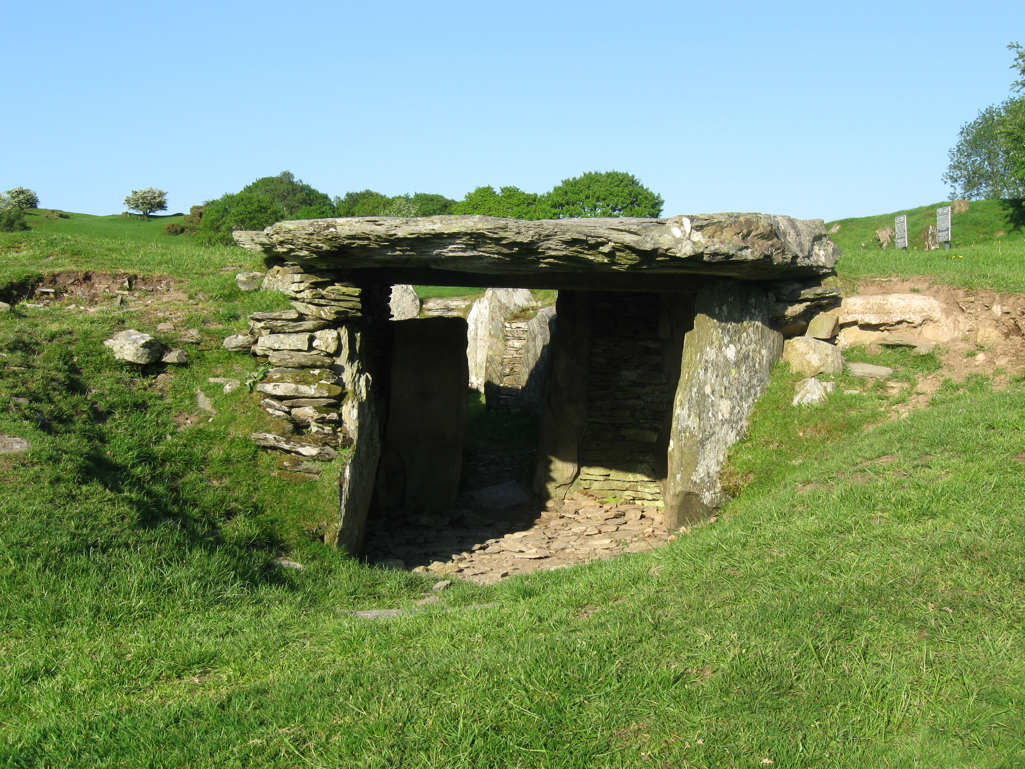
Coed Maen Bleddyn is not only valued for its natural beauty but also for its historical significance. Within the forest, there is a large standing stone known as Maen Bleddyn, which is believed to date back to the Bronze Age. This ancient monument adds an air of mystery and intrigue to the area, attracting history enthusiasts and archaeologists.
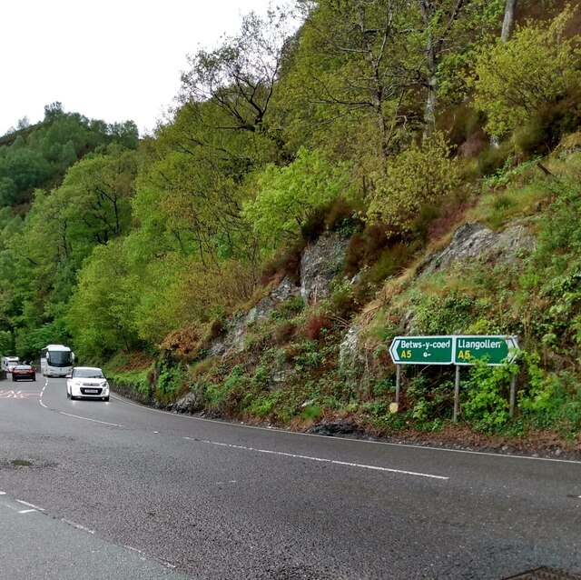
The woodland is also a popular destination for outdoor activities such as hiking, cycling, and picnicking. There are well-maintained trails that wind through the forest, providing opportunities for exploration and discovery. Additionally, the forest is accessible to visitors of all ages and abilities, with designated paths and facilities.
Overall, Coed Maen Bleddyn offers a unique and enchanting experience for nature lovers and history buffs alike. Its combination of natural beauty, diverse wildlife, and ancient landmarks make it a must-visit destination in Caernarfonshire.
If you have any feedback on the listing, please let us know in the comments section below.
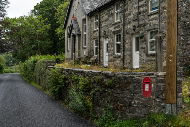
Coed Maen Bleddyn Images
Images are sourced within 2km of 53.054799/-3.7679718 or Grid Reference SH8152. Thanks to Geograph Open Source API. All images are credited.


Coed Maen Bleddyn is located at Grid Ref: SH8152 (Lat: 53.054799, Lng: -3.7679718)
Unitary Authority: Conwy
Police Authority: North Wales
What 3 Words
///stored.crumple.walking. Near Betws-y-Coed, Conwy
Nearby Locations
Related Wikis

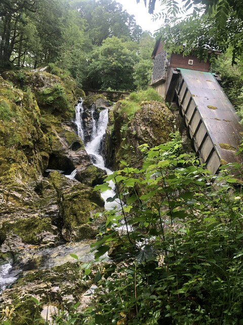
Conwy Falls
Conwy Falls (Welsh: Rhaeadr y Graig Lwyd) is a waterfall on the River Conwy at Bro Garmon in Conwy County Borough in Wales. The falls and surrounding area...

River Machno
River Machno (Welsh: Afon Machno) is a river in Snowdonia in north-west Wales. It is the first major tributary of the River Conwy, which it joins south...

Rhiw Llwyd
Rhiw Llwyd is the name of an early medieval Wales lordship which was created in the Kingdom of Gwynedd in the 12th century for Tomas ap Rhodri ab Owain...

Afon Lledr
The Afon Lledr (or the River Lledr) is a river in north-west Wales and the second major tributary of the River Conwy. It is about 10 miles or 16 km long...

St Garmon's Church, Capel Garmon
St Garmon's Church, Capel Garmon, is a redundant Anglican parish church in the village of Capel Garmon, Conwy, Wales. The church was restored and reseated...

Penmachno
Penmachno is a village in the isolated upland Machno valley, 4 miles (6 km) south of Betws-y-Coed in the county of Conwy, North Wales. The B4406 road runs...

Bro Garmon
Bro Garmon is a sparsely populated community in Conwy County Borough, in Wales. It is located on the eastern side of the Conwy Valley, stretching from...
Capel Garmon
Capel Garmon is a village near Betws-y-Coed in the county borough of Conwy, Wales. It is situated high above the Conwy valley, in the community of Bro...
Have you been to Coed Maen Bleddyn?
Leave your review of Coed Maen Bleddyn below (or comments, questions and feedback).