Coed Cwm-caws
Wood, Forest in Merionethshire
Wales
Coed Cwm-caws

The requested URL returned error: 429 Too Many Requests
If you have any feedback on the listing, please let us know in the comments section below.
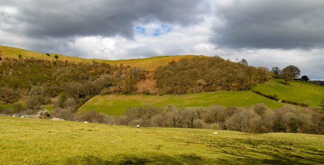
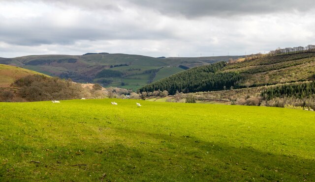
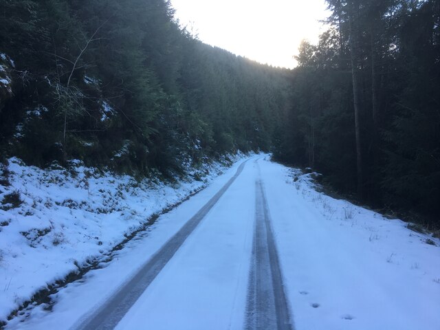
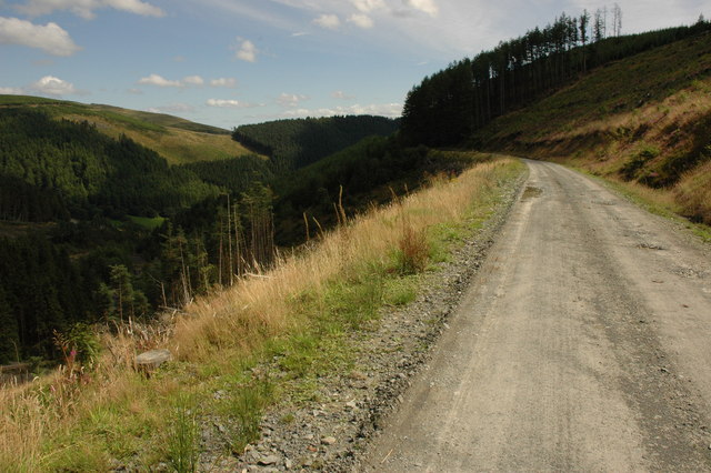
Coed Cwm-caws Images
Images are sourced within 2km of 52.676787/-3.755017 or Grid Reference SH8110. Thanks to Geograph Open Source API. All images are credited.


Coed Cwm-caws is located at Grid Ref: SH8110 (Lat: 52.676787, Lng: -3.755017)
Unitary Authority: Gwynedd
Police Authority: North Wales
What 3 Words
///trickling.teeth.reserved. Near Cwm-Llinau, Powys
Nearby Locations
Related Wikis

Gartheiniog quarry
Gartheiniog quarry was a slate quarry served by the Hendre Ddu Tramway. It is located about a mile west of Aberangell in Merioneth (now Gwynedd), North...
Mynydd Hendre-ddu
Mynydd Hendre-ddu or Mynydd Hendreddu is a mountain in southern Snowdonia, Wales. It is one of a line of mountains running from Mynydd Dolgoed in the north...
Moel y Ffridd
Moel y Ffridd (also known as Foel y Ffridd) is a mountain in Wales. It lies north-west of the village of Aberangell and west of Mallwyd and is one of the...
Hendreddu quarry
Hendreddu quarry was a slate quarry about three miles west of Aberangell in Merioneth (now Gwynedd), North Wales, near Nant Hendreddu on the slopes of...
Nearby Amenities
Located within 500m of 52.676787,-3.755017Have you been to Coed Cwm-caws?
Leave your review of Coed Cwm-caws below (or comments, questions and feedback).