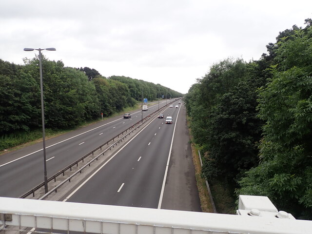
Breast Plantations
Wood, Forest in Glamorgan
Wales
Breast Plantations
Breast Plantations, located in Glamorgan, Wales, is a picturesque woodland area known for its natural beauty and diverse range of plant and animal species. Spanning over a considerable area, the woodland is a popular destination for nature enthusiasts and hikers alike.
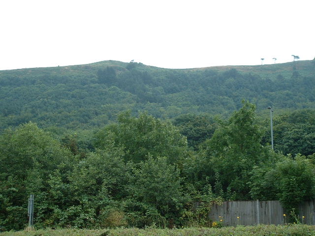
The plantation is characterized by its dense forest cover, featuring a mix of both deciduous and coniferous trees. The presence of oak, beech, and birch trees provides a vibrant display of colors during the autumn months, attracting visitors from near and far. The woodland floor is adorned with an array of wildflowers and ferns, adding to the enchanting atmosphere.
Breast Plantations is home to a variety of wildlife, contributing to its ecological significance. Birdwatchers can spot numerous species, including woodpeckers, owls, and various songbirds. The woodland is also frequented by small mammals like squirrels, rabbits, and deer. Additionally, the streams and ponds within the plantation support a diverse aquatic ecosystem, housing amphibians, fish, and insects.
The plantation offers several well-maintained trails, providing visitors with the opportunity to explore the woodland's natural wonders. Whether it's a leisurely walk or a more challenging hike, the trails cater to all levels of fitness and interest. Interpretive signs and information boards are strategically placed along the trails, offering educational insights into the surrounding flora and fauna.
Breast Plantations also serves as a vital carbon sink, playing a crucial role in mitigating climate change by absorbing and storing carbon dioxide from the atmosphere. The woodland contributes to the overall ecological health of the region, providing habitat for many species and helping to maintain biodiversity.
Overall, Breast Plantations in Glamorgan offers a serene escape into nature, boasting beautiful landscapes, diverse wildlife, and educational opportunities for nature enthusiasts.
If you have any feedback on the listing, please let us know in the comments section below.
Breast Plantations Images
Images are sourced within 2km of 51.563083/-3.7125726 or Grid Reference SS8186. Thanks to Geograph Open Source API. All images are credited.


Breast Plantations is located at Grid Ref: SS8186 (Lat: 51.563083, Lng: -3.7125726)
Unitary Authority: Neath Port Talbot
Police Authority: South Wales
What 3 Words
///laces.immediate.clues. Near Taibach, Neath Port Talbot
Nearby Locations
Related Wikis

Margam Castle
Margam Castle, Margam, Port Talbot, Wales, is a late Georgian country house built for Christopher Rice Mansel Talbot. Designed by Thomas Hopper, the castle...

Margam Country Park
Margam Country Park is a country park estate in Wales, of around 850 acres (3.4 km²). It is situated in Margam, about 2 miles (3 km) from Port Talbot in...
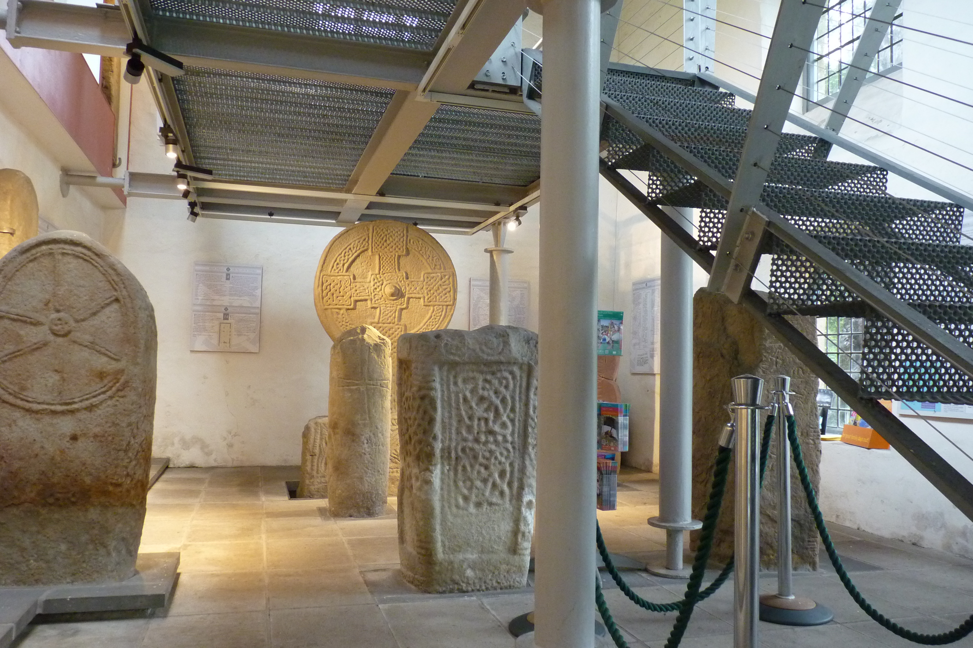
Margam Stones Museum
Margam Stones Museum is a small Victorian schoolhouse near Port Talbot, South Wales, which now provides a home for one of the most important collections...
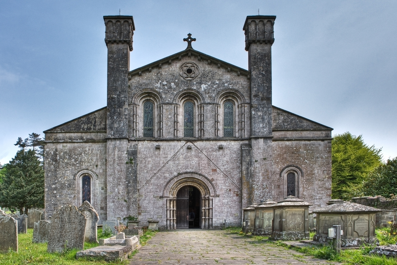
Margam Abbey
Margam Abbey (Welsh: Abaty Margam) was a Cistercian monastery, located in the village of Margam, a suburb of modern Port Talbot in Wales. == History... ==
Nearby Amenities
Located within 500m of 51.563083,-3.7125726Have you been to Breast Plantations?
Leave your review of Breast Plantations below (or comments, questions and feedback).