Coed Llety-Ŵyn
Wood, Forest in Merionethshire
Wales
Coed Llety-Ŵyn

The requested URL returned error: 429 Too Many Requests
If you have any feedback on the listing, please let us know in the comments section below.
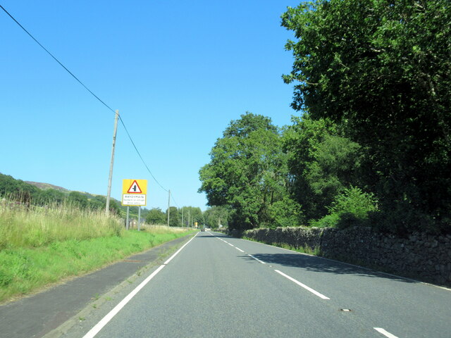
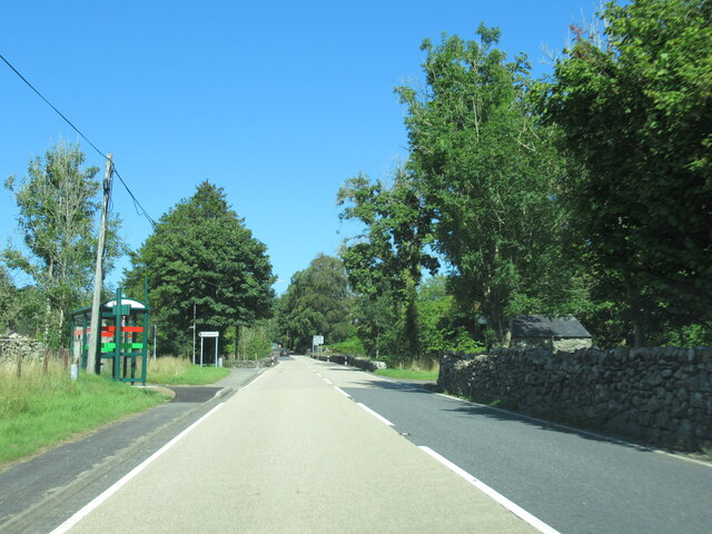
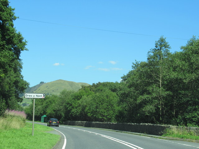
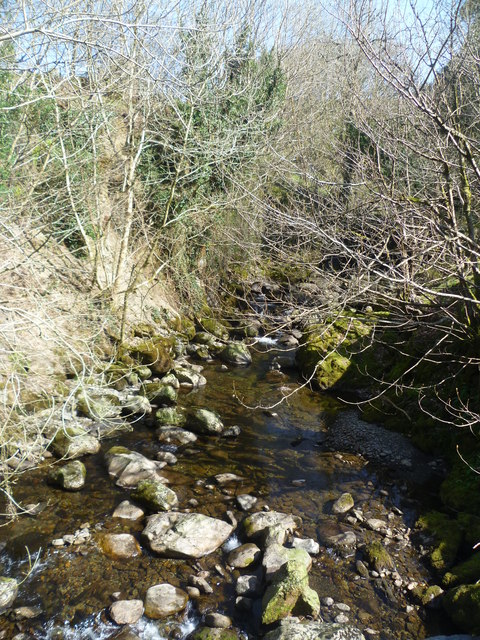
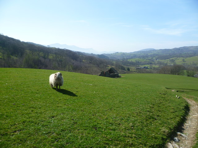
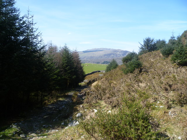
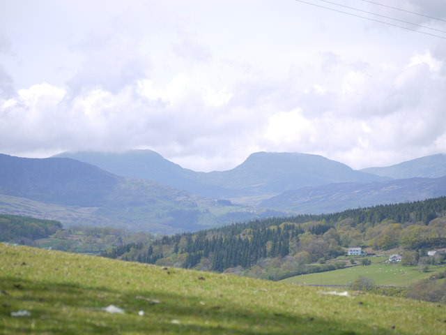
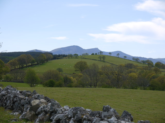
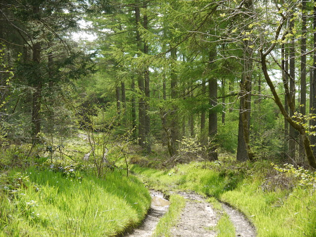
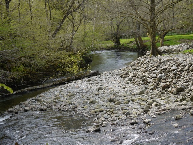
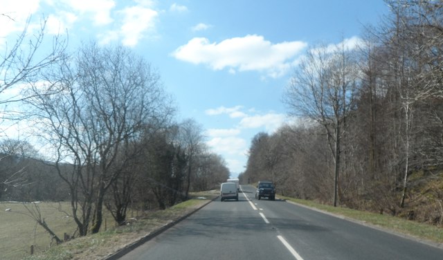
Coed Llety-Ŵyn Images
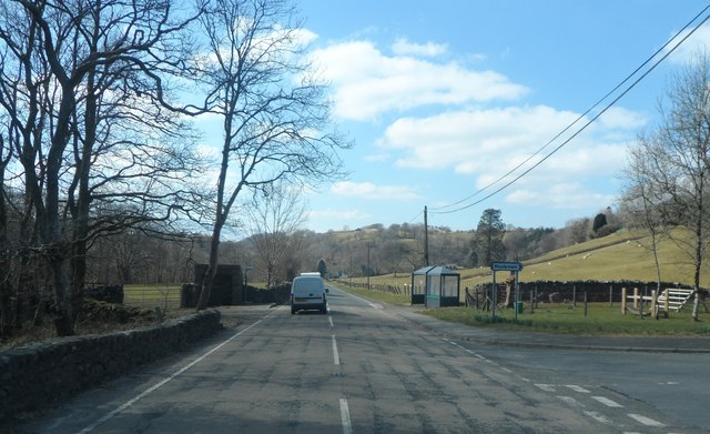
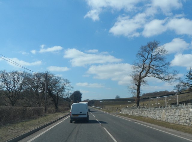
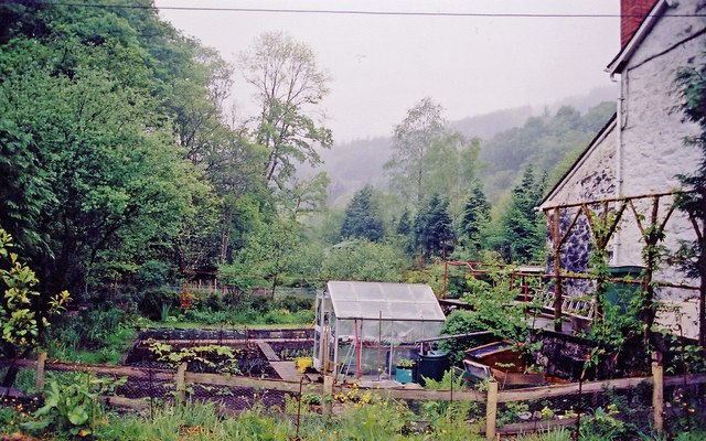
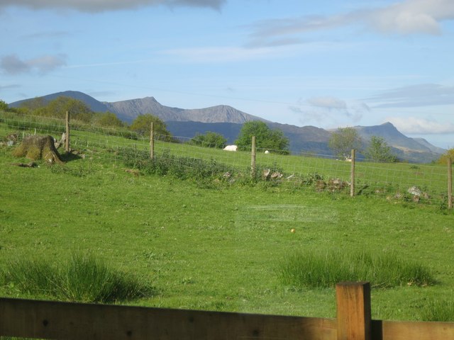
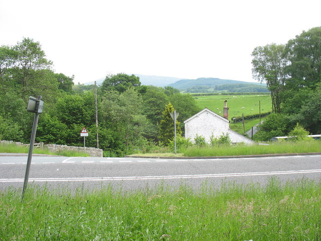
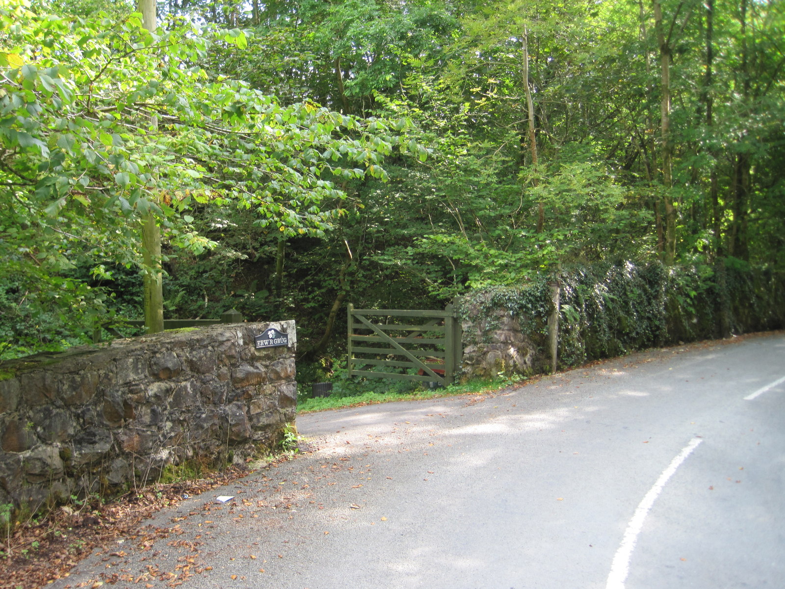
Images are sourced within 2km of 52.779197/-3.7649476 or Grid Reference SH8121. Thanks to Geograph Open Source API. All images are credited.

Coed Llety-Ŵyn is located at Grid Ref: SH8121 (Lat: 52.779197, Lng: -3.7649476)
Unitary Authority: Gwynedd
Police Authority: North Wales
What 3 Words
///teamed.taskbar.cobras. Near Dolgellau, Gwynedd
Nearby Locations
Related Wikis
Drws-y-Nant
Drws-y-Nant is a village in Gwynedd, Wales. It was formerly served by the Drws-y-Nant railway station but this closed in 1965.

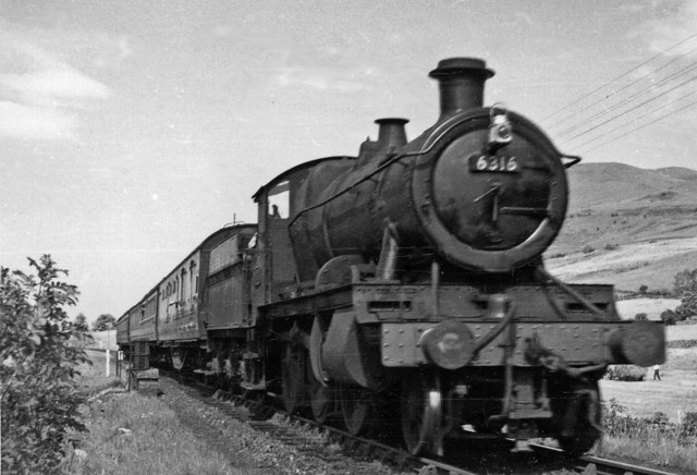
Drws-y-Nant railway station
Drws-y-Nant railway station (Pron: Droos-a-Nant) in Gwynedd, Wales, was formerly a station on the Ruabon to Barmouth line. The station had two platforms...
Wnion Halt railway station
Wnion Halt (Pron: Oon-y'n) in Gwynedd, Wales, was on the Ruabon to Barmouth line. The station was situated in a narrow part of the Wnion Valley next to...

Allt y Benglog National Nature Reserve
Allt y Benglog is a small national nature reserve near Dolgellau in Wales.Its position on the lower slopes of Rhobell Fawr, one of north Wales’ extinct...
Nearby Amenities
Located within 500m of 52.779197,-3.7649476Have you been to Coed Llety-Ŵyn?
Leave your review of Coed Llety-Ŵyn below (or comments, questions and feedback).