Coed y Croeslyn

Wood, Forest in Montgomeryshire

Wales

Coed y Croeslyn

Glyndwr's Way near Aberhosan
Glyndwr's Way near Aberhosan Credit: Dave Kelly

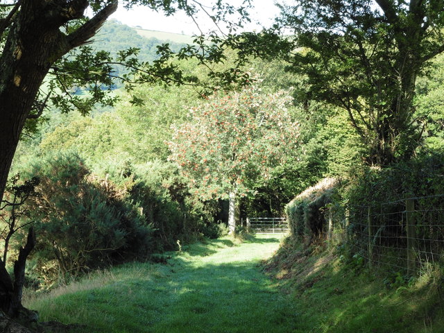
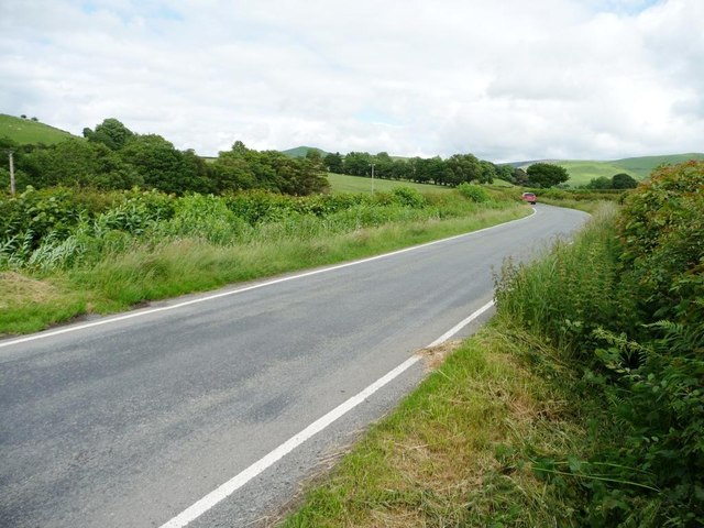
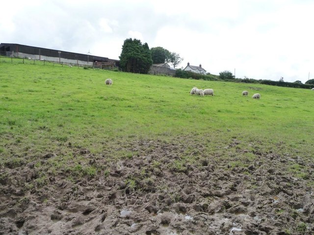
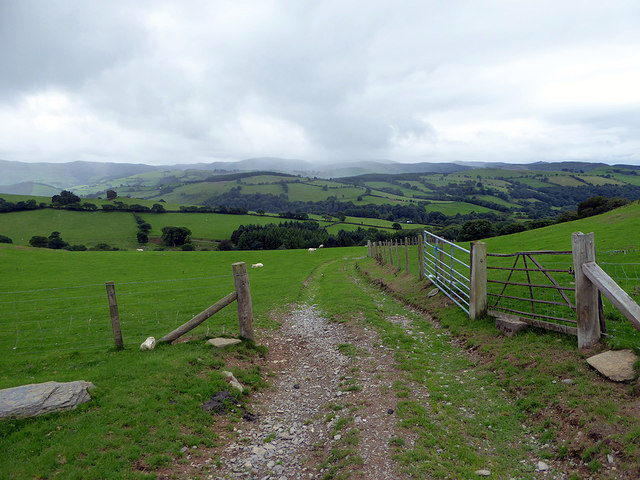
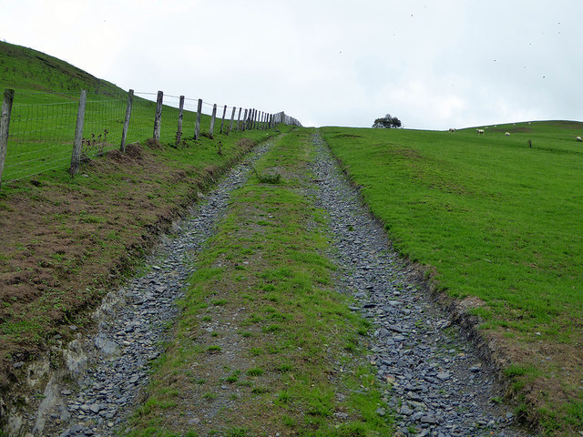
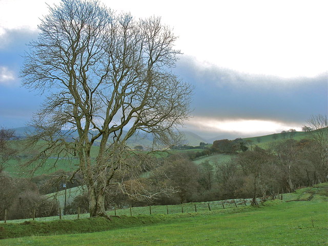
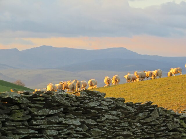
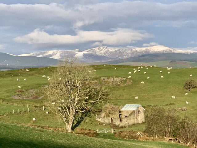
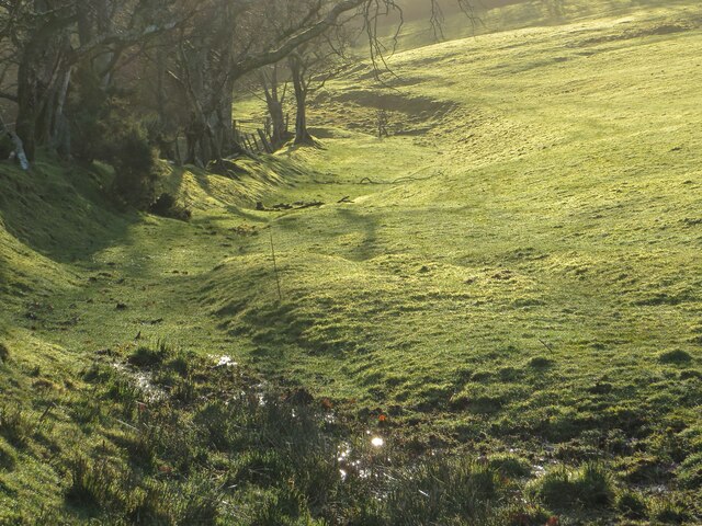
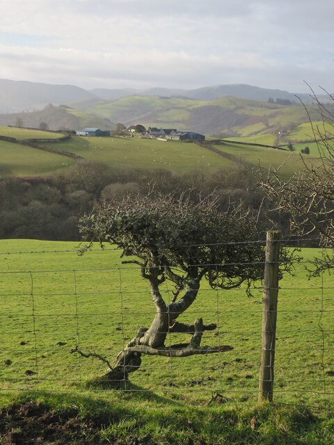
Coed y Croeslyn is a picturesque wood located in Montgomeryshire, Wales. Spanning over a vast area, it is renowned for its natural beauty and diverse range of flora and fauna. The wood is nestled in a hilly landscape, surrounded by rolling green fields and meandering streams.

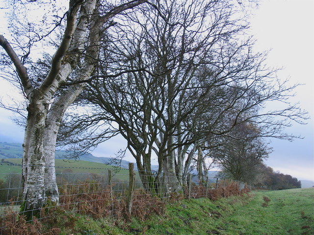
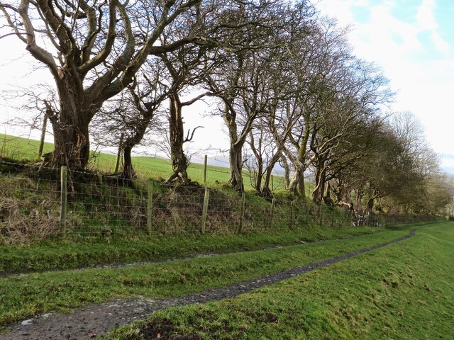
The forest is predominantly made up of ancient oak trees, their gnarled branches reaching towards the sky. These magnificent trees provide a dense canopy that creates a cool and tranquil atmosphere within the wood. In addition to the oaks, Coed y Croeslyn is also home to a variety of other tree species, including beech, ash, and birch.

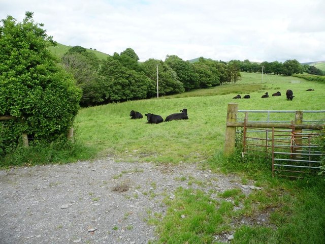
Exploring Coed y Croeslyn offers visitors the chance to witness a rich tapestry of wildlife. The wood is a haven for numerous bird species, such as woodpeckers, thrushes, and owls. Squirrels can often be seen darting between the trees, while the occasional deer may appear, gracefully navigating the undergrowth.

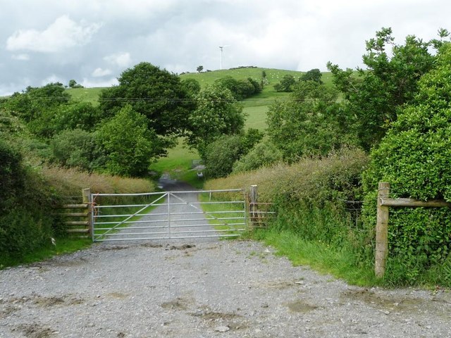
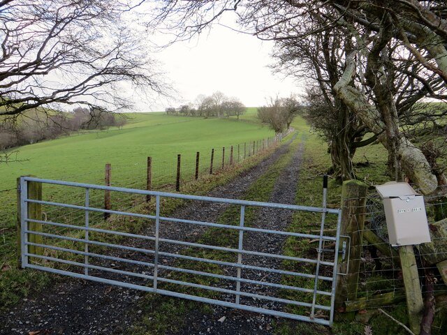
Trails wind their way through the woodland, inviting hikers and nature enthusiasts to immerse themselves in the natural splendor. These paths offer scenic views of the surrounding countryside and lead to hidden clearings, providing peaceful spots for contemplation and relaxation.

Coed y Croeslyn is not only a place of natural beauty but also holds cultural significance. It has been a source of inspiration for artists and writers throughout the years, capturing the essence of the Welsh countryside. The wood offers a serene escape from the hustle and bustle of modern life, allowing visitors to reconnect with nature and experience the tranquility of the Montgomeryshire landscape.

If you have any feedback on the listing, please let us know in the comments section below.

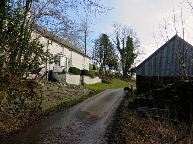
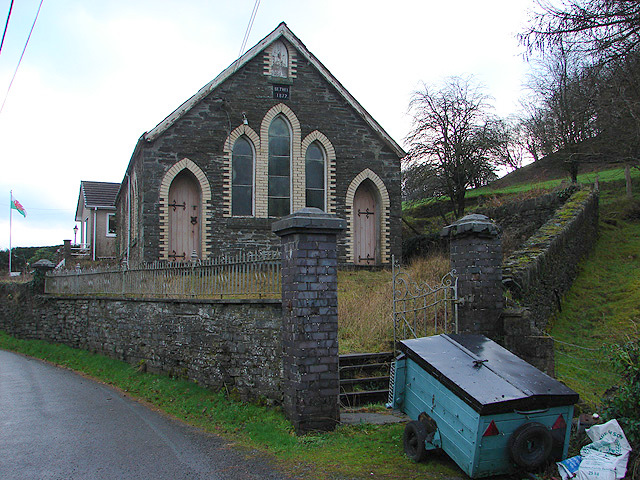
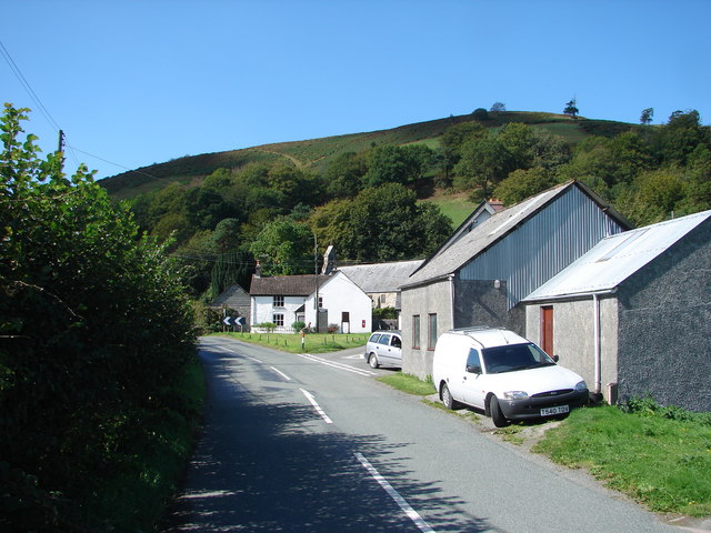
Coed y Croeslyn Images

Images are sourced within 2km of 52.573701/-3.7651225 or Grid Reference SN8098. Thanks to Geograph Open Source API. All images are credited.

Glyndwr's Way near Aberhosan
The road from Machynlleth to Llanidloes, near Pen y glog Described as a 'narrow mountain road' but still below 200 metres above sea level here.
The road from Machynlleth to Llanidloes, near Pen y glog
Described as a 'narrow mountain road' but still below 200 metres above sea level here.
Welsh black cattle grazing, east of Hendreron Uchaf On the north side of the road to Llanidloes.
Welsh black cattle grazing, east of Hendreron Uchaf
On the north side of the road to Llanidloes.
Private gated track to Llwyngronfa Dropping down to cross the valley of Nant y Gwennill.
Private gated track to Llwyngronfa
Dropping down to cross the valley of Nant y Gwennill.
Sheep pasture below Pen y glog The farm buildings are 210 metres above sea level.
Sheep pasture below Pen y glog
The farm buildings are 210 metres above sea level.
Milestone North side of road.
Milestone
North side of road.
Old Milestone near Penyglog, Cadfarch parish Milestone by the UC road, in parish of Cadfarch (Powys District), Penyglog, on verge.

Inscription once read:-
: (Machynlleth 5) : : (Llanidloes 15) :

Surveyed

Milestone Society National ID: MOT_LIMC14
Old Milestone near Penyglog, Cadfarch parish
Milestone by the UC road, in parish of Cadfarch (Powys District), Penyglog, on verge. Inscription once read:- : (Machynlleth 5) : : (Llanidloes 15) : Surveyed Milestone Society National ID: MOT_LIMC14
Llwybr ceffyl ar ochr Bryn y Brain Bridleway on the flank of Bryn y Brain.
Llwybr ceffyl ar ochr Bryn y Brain
Bridleway on the flank of Bryn y Brain.
Open gate on the track down to Maesterran Farm
Ancient roadway above Maesterran Farm Also a right of way.
Ancient roadway above Maesterran Farm
Also a right of way.
Onnen / Ash On the bridleway by Bryn y Brain.
Onnen / Ash
On the bridleway by Bryn y Brain.
Golygfa tuag at Cadair Idris From the bridleway on Bryn-y-Brain, a view across the old stone wall and a flock of sheep towards Cadair Idris.
Golygfa tuag at Cadair Idris
From the bridleway on Bryn-y-Brain, a view across the old stone wall and a flock of sheep towards Cadair Idris.
Eira cyntaf ar Gadair Idris / First snow on Cadair In the distance, the first snowfall of the winter has dusted the shapely mountain of Cadair Idris. In the foreground, a disused barn has been roofed to provide nesting shelter for owls.
Eira cyntaf ar Gadair Idris / First snow on Cadair
In the distance, the first snowfall of the winter has dusted the shapely mountain of Cadair Idris. In the foreground, a disused barn has been roofed to provide nesting shelter for owls.
Hen ffordd y porthmyn The old drovers' road, now a sunken bridleway along the flank of Bryn-y-Brain.
Hen ffordd y porthmyn
The old drovers' road, now a sunken bridleway along the flank of Bryn-y-Brain.
Ffordd ceffyl Bridleway on Bryn-y-Brain
Ffordd ceffyl
Bridleway on Bryn-y-Brain
Ffordd ceffyl i Bryn-y-Brain The old drovers' road, now a bridleway, that leads to Bryn-y-Brain farm.
Ffordd ceffyl i Bryn-y-Brain
The old drovers' road, now a bridleway, that leads to Bryn-y-Brain farm.
Fferm Tŷ Mawr Tŷ Mawr farm across the fields from the lane.
Fferm Tŷ Mawr
Tŷ Mawr farm across the fields from the lane.
Pen-y-Bryn And old farm, now a holiday let.
Pen-y-Bryn
And old farm, now a holiday let.
Show me another place!

Coed y Croeslyn is located at Grid Ref: SN8098 (Lat: 52.573701, Lng: -3.7651225)

Unitary Authority: Powys

Police Authority: Dyfed Powys

What 3 Words

///butlers.gasping.swim. Near Machynlleth, Powys

Related Wikis

Aberhosan

Aberhosan () is a village in the Welsh principal area of Powys, located between the town of Machynlleth and village of Dylife. It is in the historic county...

Abercegir

Abercegir () is a small rural village in Powys, Wales. It lies approximately 4 miles east of the town of Machynlleth and is 81 miles (131 km) from Cardiff...

Penegoes

Penegoes () is a village in Powys, Wales, between Cemmaes Road and Machynlleth, on the A489 road, and the primary settlement of the community of Cadfarch...

Abergwydol

Abergwydol () is a village in the Welsh principal area of Powys located on the A489 road between Cemmaes Road and Penegoes. It is part of the community...

Forge, Powys

Forge (Welsh: "Y Bontfaen") is a village in the county of Powys, Wales near to Machynlleth. It lies on the southern Afon Dulas on the mountain road to...

Llanwrin

Llanwrin () is a small village in the valley of the Afon Dyfi in Powys, Wales, about two miles north-east of Machynlleth. == History and background... ==

Afon Ceirig

The Afon Ceirig is a small river in Mid Wales. It flows from Esgair Llewelyn in the middle of the Dyfi Hills down to Mathafarn, north-west of Cemmaes Road...

Siambr Trawsfynydd

Siambr Trawsfynydd is a mountain in Ceredigion, Wales, located to the north of Pumlumon. It is 582 m (1,910 ft) above sea level and one of the higher summits...

Nearby Amenities

Located within 500m of 52.573701,-3.7651225
Place: farm
Lat/Long: 52.5729645/-3.7698978
Place: farm
Lat/Long: 52.5778415/-3.7657994
Building: yes
Lat/Long: 52.5721363/-3.7639889
Direction: 170
Generator Method: photovoltaic
Generator Output Electricity: yes
Generator Solar Modules: 3
Generator Source: solar
Generator Type: solar_photovoltaic_panel
Location: roof
Power: generator
Lat/Long: 52.5720523/-3.7638601
Direction: 170
Generator Method: photovoltaic
Generator Output Electricity: yes
Generator Solar Modules: 12
Generator Source: solar
Generator Type: solar_photovoltaic_panel
Location: roof
Power: generator
Lat/Long: 52.5720604/-3.7639862
The data included in this document is from www.openstreetmap.org. The data is made available under ODbL.

Have you been to Coed y Croeslyn?

Leave your review of Coed y Croeslyn below (or comments, questions and feedback).