Eastern Covert
Wood, Forest in Caernarfonshire
Wales
Eastern Covert

Eastern Covert is a picturesque woodland area located in the county of Caernarfonshire, Wales. Situated on the eastern edge of the county, the forest covers a vast area of lush greenery and dense vegetation. The woodland is home to a variety of native trees, including oak, beech, and pine, which create a tranquil and serene atmosphere for visitors to enjoy.
Eastern Covert is a popular destination for nature lovers and outdoor enthusiasts, offering a network of walking and hiking trails that wind through the forest. These trails provide opportunities for visitors to explore the diverse flora and fauna that call the woodland home, including a wide array of bird species, small mammals, and insects.
In addition to its natural beauty, Eastern Covert also has historical significance, with remnants of ancient settlements and structures scattered throughout the forest. These archaeological sites offer a glimpse into the area's rich past and provide a fascinating insight into the lives of the people who once inhabited the land.
Overall, Eastern Covert is a peaceful and enchanting woodland that offers a perfect escape from the hustle and bustle of everyday life. Whether you are looking to immerse yourself in nature, discover the area's history, or simply enjoy a leisurely stroll through the trees, this forest has something to offer for everyone.
If you have any feedback on the listing, please let us know in the comments section below.
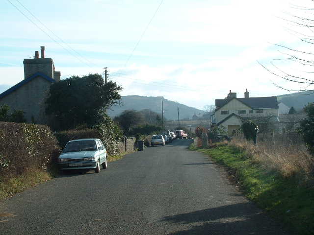
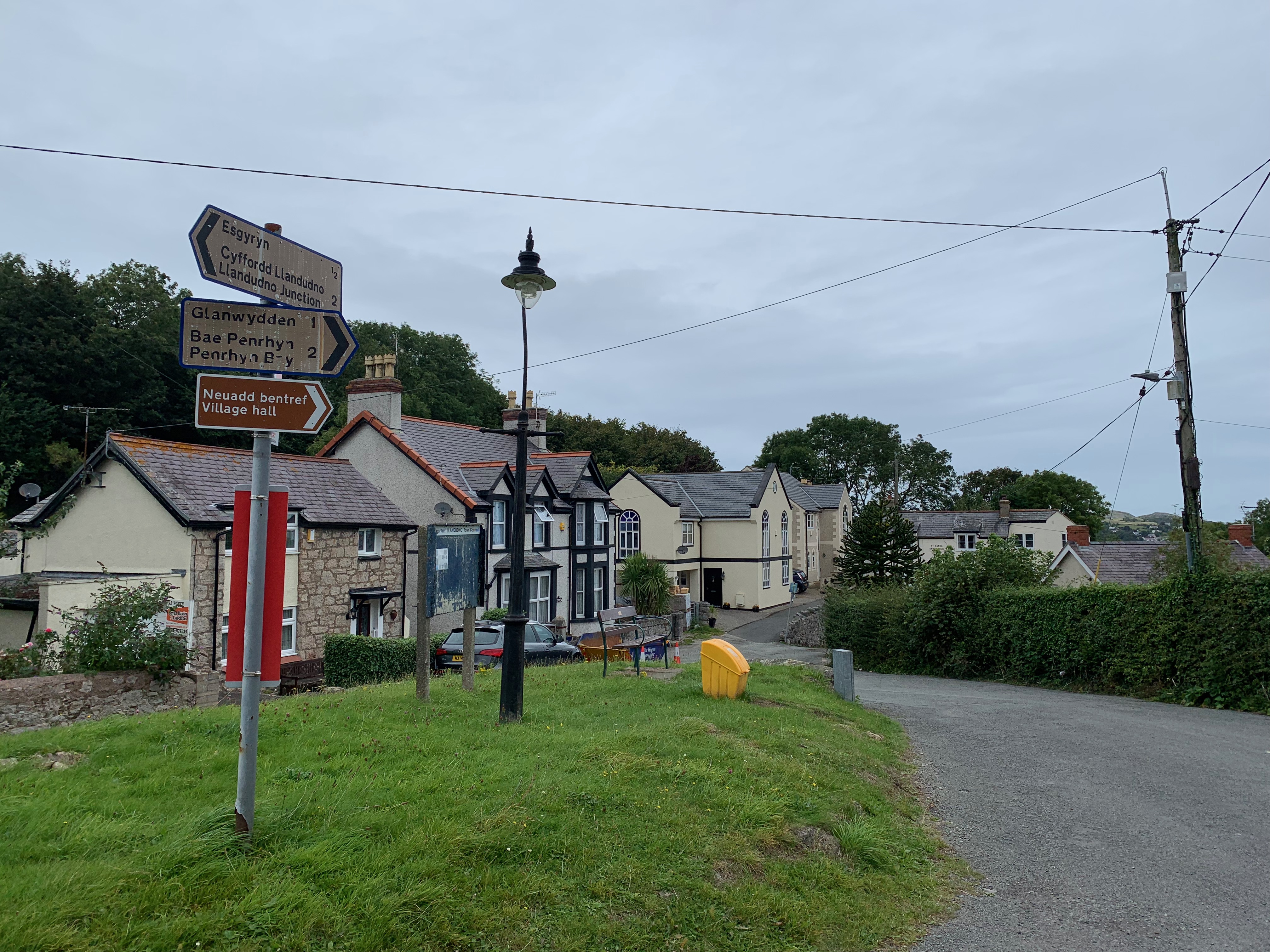
Eastern Covert Images
Images are sourced within 2km of 53.296997/-3.7983393 or Grid Reference SH8079. Thanks to Geograph Open Source API. All images are credited.


Eastern Covert is located at Grid Ref: SH8079 (Lat: 53.296997, Lng: -3.7983393)
Unitary Authority: Conwy
Police Authority: North Wales
What 3 Words
///dearest.shared.ecologist. Near Deganwy, Conwy
Nearby Locations
Related Wikis
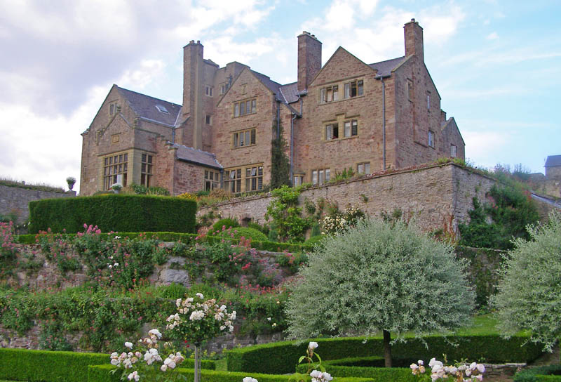
Bodysgallen Hall
Bodysgallen Hall is a manor house in Conwy county borough, north Wales, near the village of Llanrhos. Since 2008 the house has been owned by The National...
Bryn Pydew
Bryn Pydew is a small settlement to the east of Llandudno Junction in North Wales. The limestone hill of Bryn Pydew reaches 128 metres (420 feet) above...

Marle Hall
Marle Hall (also Marl Hall) is a Grade II listed Georgian building in Conwy County Borough, North Wales, situated close to Llandudno Junction and Snowdonia...

Aberconwy (UK Parliament constituency)
Aberconwy is a constituency represented in the House of Commons of the UK Parliament since 2019 by Robin Millar, a Conservative.The seat was created by...
Related Videos

Alice in Wonderland Trail in Llandudno | North Wales Walks | Cool Dudes Walking Club
A three-mile Alice In Wonderland Walk around Llandudno. This trail was created in 2013 and features lots of sculptures and ...

LLANDUDNO | Exploring the holiday seaside town of Llandudno Wales
Llandudno Wales is our destination for a walking tour of the beach, pier and seafront to see what's here in Llandudno for your ...
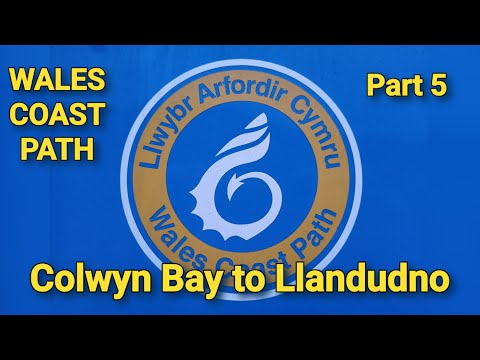
Walking The Wales Coast Path 5: Colwyn Bay to Llandudno
Our fifth visit to the Wales coast Path, only to walk about 6 and a half Miles of the trail today as I wanted to finish at Llandudno Pier, ...

LLANDUDNO WALES Town Centre Walk Tour
Walk in LLANDUDNO Wales Town Centre.
Nearby Amenities
Located within 500m of 53.296997,-3.7983393Have you been to Eastern Covert?
Leave your review of Eastern Covert below (or comments, questions and feedback).