Coed Carreg-Ednyfed
Wood, Forest in Denbighshire
Wales
Coed Carreg-Ednyfed
Coed Carreg-Ednyfed is a picturesque woodland located in Denbighshire, a county in North Wales. The name translates to "Wood, Forest" in English, which aptly describes the natural beauty and abundance of trees found in the area.
Covering an expansive area, Coed Carreg-Ednyfed is characterized by its diverse range of tree species, including oak, beech, birch, and conifers. The woodland is well-preserved and offers a tranquil escape for nature enthusiasts and hikers alike. Visitors can explore the numerous walking trails that wind through the forest, providing an opportunity to immerse themselves in the stunning scenery and observe the local flora and fauna.
Coed Carreg-Ednyfed is also home to a variety of wildlife, making it a haven for birdwatchers and nature photographers. Bird species such as woodpeckers, owls, and buzzards can be spotted among the treetops, while smaller creatures like squirrels and rabbits scurry through the undergrowth. The forest's diverse ecosystem provides a habitat for several protected species, further highlighting its ecological significance.
In addition to its natural attributes, Coed Carreg-Ednyfed has historical significance as well. The woodland is located near the ancient town of Ruthin, which was once an important administrative and market center during the medieval period. The forest's proximity to the town adds an extra layer of cultural and historical interest to the area.
Overall, Coed Carreg-Ednyfed offers a serene and enchanting experience for visitors, combining the beauty of nature with a touch of history. Whether one seeks solitude, recreational activities, or an opportunity to appreciate the wonders of the natural world, this woodland in Denbighshire is a must-visit destination.
If you have any feedback on the listing, please let us know in the comments section below.
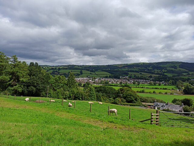
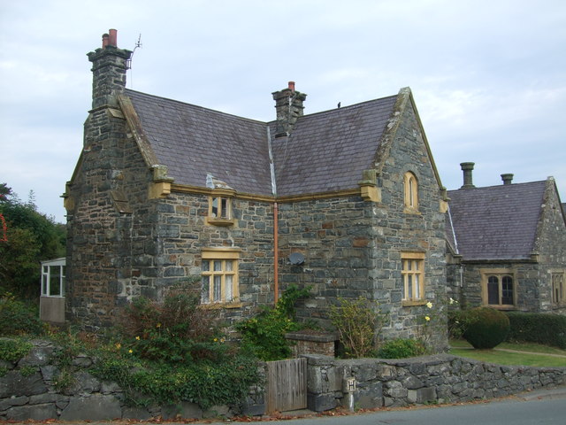
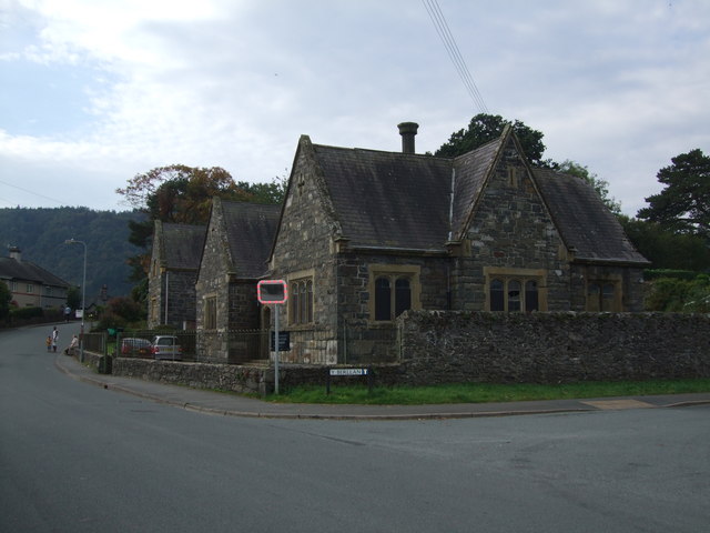
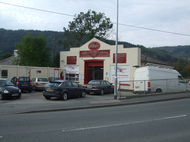
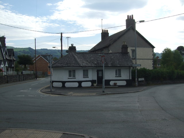
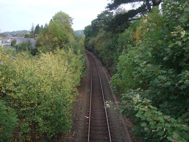
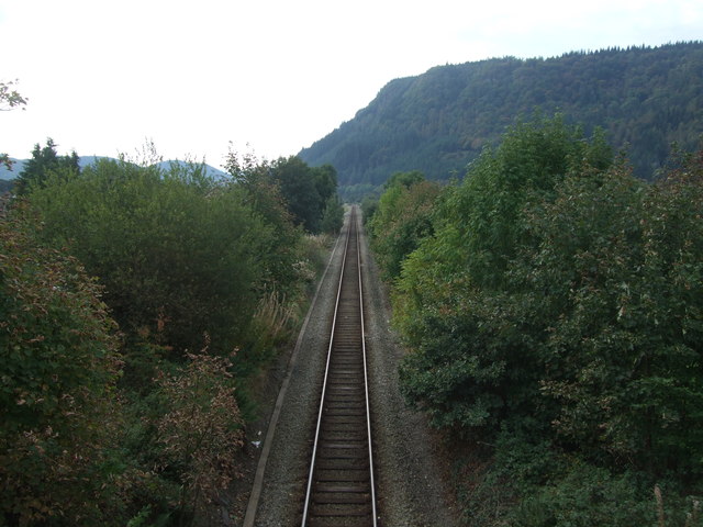
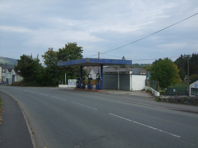
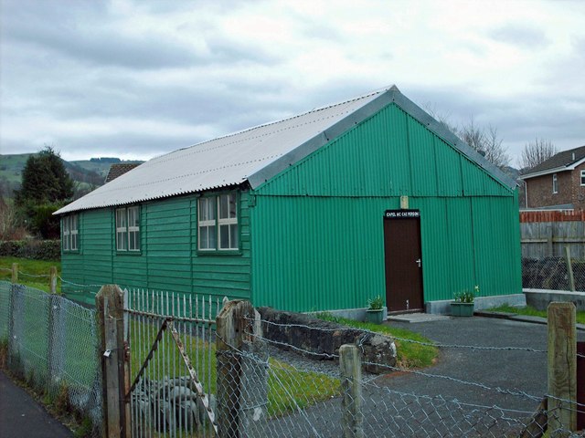
Coed Carreg-Ednyfed Images
Images are sourced within 2km of 53.150243/-3.7977325 or Grid Reference SH7962. Thanks to Geograph Open Source API. All images are credited.


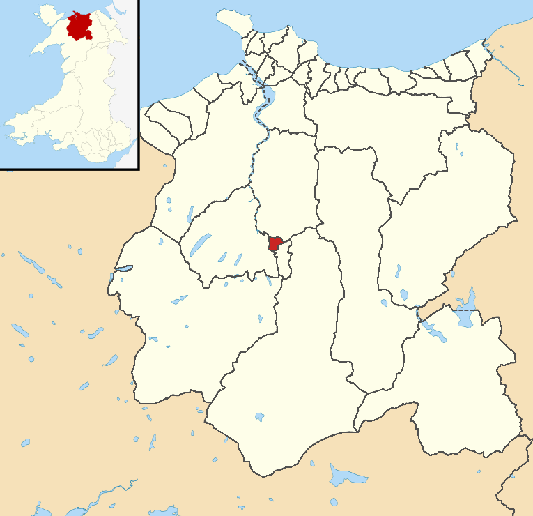
Coed Carreg-Ednyfed is located at Grid Ref: SH7962 (Lat: 53.150243, Lng: -3.7977325)
Unitary Authority: Conwy
Police Authority: North Wales
What 3 Words
///slicing.ruins.refills. Near Llanrwst, Conwy
Nearby Locations
Related Wikis
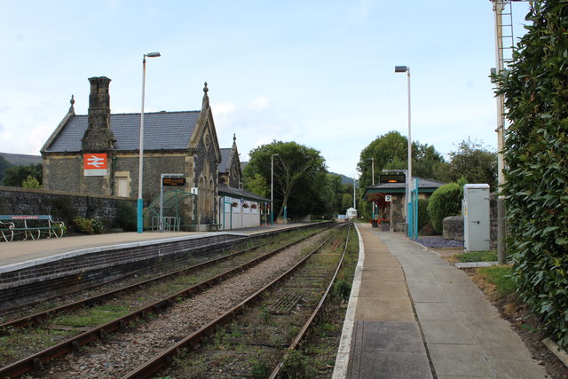
North Llanrwst railway station
North Llanrwst railway station (Welsh: Gogledd Llanrwst) is the only train passing station on the Conwy Valley line between Llandudno Junction and Blaenau...
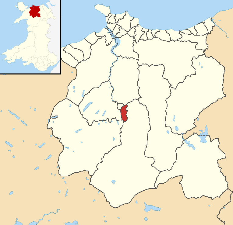
Llanddoged and Maenan
Llanddoged and Maenan (Welsh: Llanddoged a Maenan) is a community in Conwy County Borough, in Wales. It is located in the Conwy Valley, on the eastern...
Gower (Llanrwst electoral ward)
Gower is the name of one of the electoral wards of town of Llanrwst, Conwy County Borough, Wales. It covers the northern part of the town, with its western...
Crwst
Crwst is an electoral wards of town of Llanrwst, Conwy County Borough, Wales. It covers the southern part of the town, with its western border defined...
Nearby Amenities
Located within 500m of 53.150243,-3.7977325Have you been to Coed Carreg-Ednyfed?
Leave your review of Coed Carreg-Ednyfed below (or comments, questions and feedback).