Coed Cae-gogrydd

Wood, Forest in Montgomeryshire

Wales

Coed Cae-gogrydd

Glyndwr's Way near Aberhosan
Glyndwr's Way near Aberhosan Credit: Dave Kelly

The requested URL returned error: 429 Too Many Requests

If you have any feedback on the listing, please let us know in the comments section below.

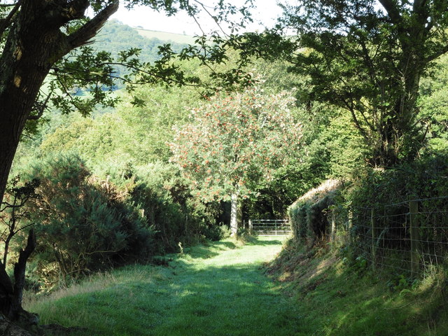
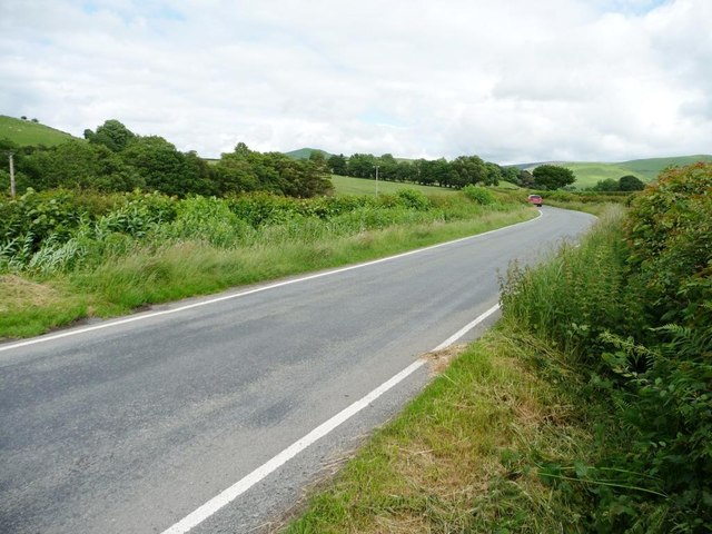
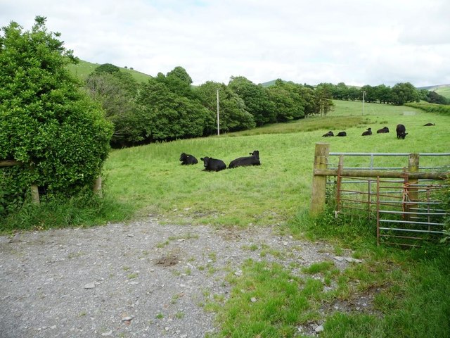
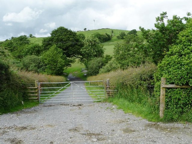
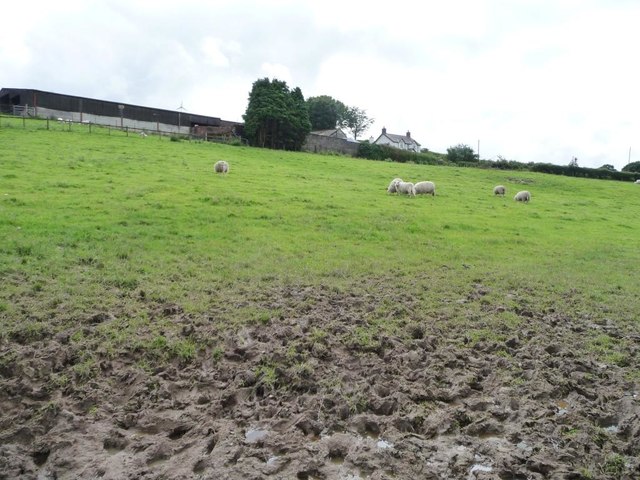
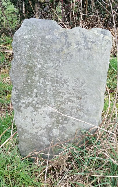
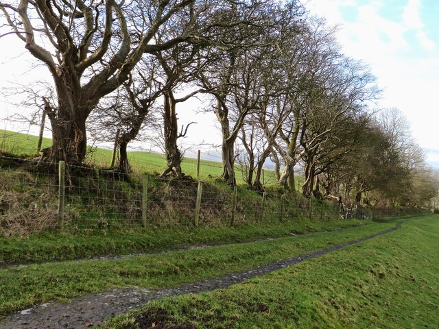
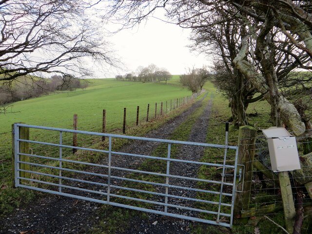
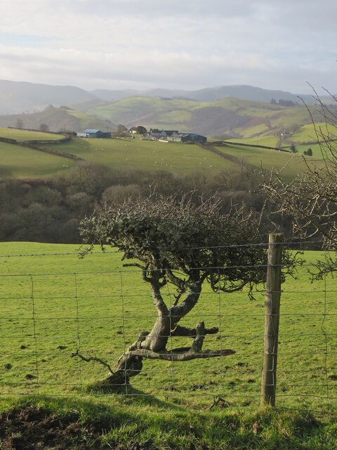
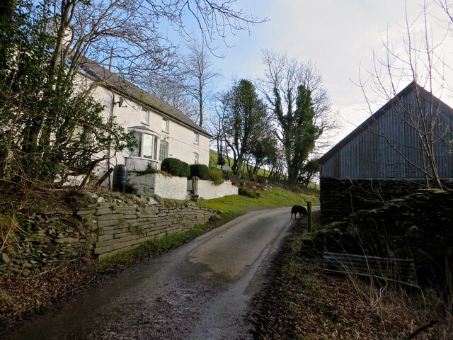
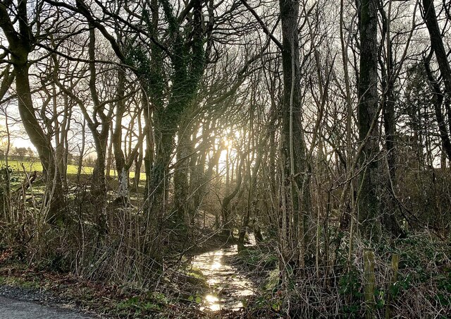
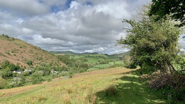
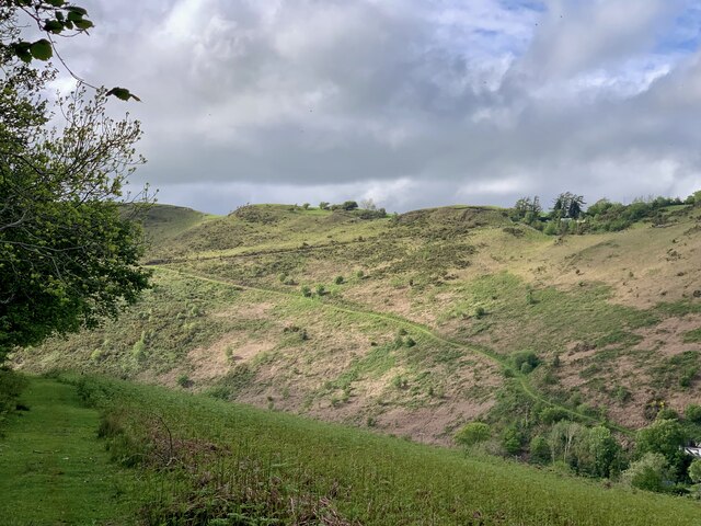
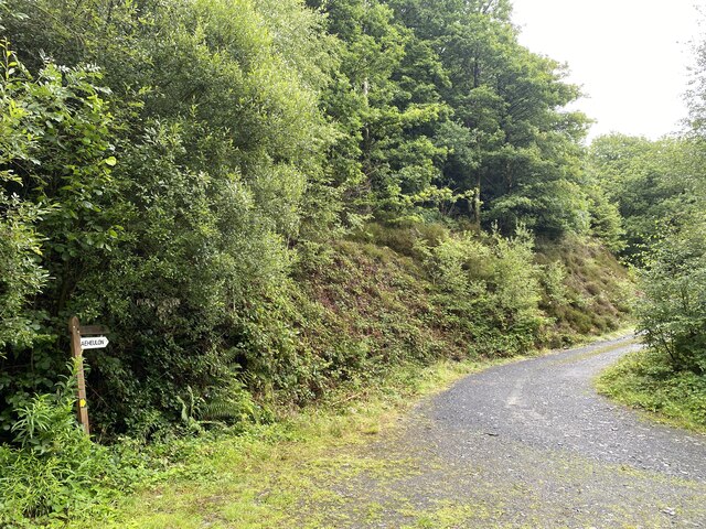
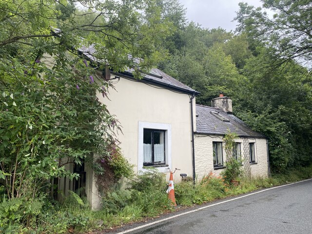
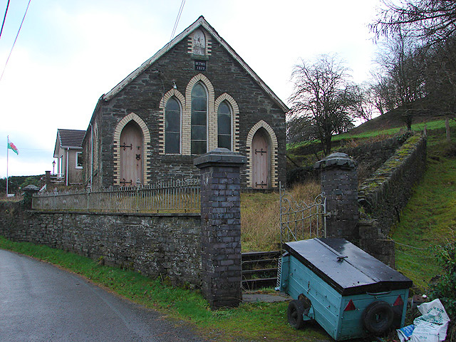
Coed Cae-gogrydd Images

Images are sourced within 2km of 52.571195/-3.7775648 or Grid Reference SN7998. Thanks to Geograph Open Source API. All images are credited.

Glyndwr's Way near Aberhosan
The road from Machynlleth to Llanidloes, near Pen y glog Described as a 'narrow mountain road' but still below 200 metres above sea level here.
The road from Machynlleth to Llanidloes, near Pen y glog
Described as a 'narrow mountain road' but still below 200 metres above sea level here.
Welsh black cattle grazing, east of Hendreron Uchaf On the north side of the road to Llanidloes.
Welsh black cattle grazing, east of Hendreron Uchaf
On the north side of the road to Llanidloes.
Private gated track to Llwyngronfa Dropping down to cross the valley of Nant y Gwennill.
Private gated track to Llwyngronfa
Dropping down to cross the valley of Nant y Gwennill.
Sheep pasture below Pen y glog The farm buildings are 210 metres above sea level.
Sheep pasture below Pen y glog
The farm buildings are 210 metres above sea level.
Milestone North side of road.
Milestone
North side of road.
Old Milestone near Penyglog, Cadfarch parish Milestone by the UC road, in parish of Cadfarch (Powys District), Penyglog, on verge.

Inscription once read:-
: (Machynlleth 5) : : (Llanidloes 15) :

Surveyed

Milestone Society National ID: MOT_LIMC14
Old Milestone near Penyglog, Cadfarch parish
Milestone by the UC road, in parish of Cadfarch (Powys District), Penyglog, on verge. Inscription once read:- : (Machynlleth 5) : : (Llanidloes 15) : Surveyed Milestone Society National ID: MOT_LIMC14
Ffordd ceffyl Bridleway on Bryn-y-Brain
Ffordd ceffyl
Bridleway on Bryn-y-Brain
Ffordd ceffyl i Bryn-y-Brain The old drovers' road, now a bridleway, that leads to Bryn-y-Brain farm.
Ffordd ceffyl i Bryn-y-Brain
The old drovers' road, now a bridleway, that leads to Bryn-y-Brain farm.
Fferm Tŷ Mawr Tŷ Mawr farm across the fields from the lane.
Fferm Tŷ Mawr
Tŷ Mawr farm across the fields from the lane.
Pen-y-Bryn And old farm, now a holiday let.
Pen-y-Bryn
And old farm, now a holiday let.
Nant-y-Gwenill Winter morning sunlight catches the tiny stream of Nant-y-Gwenill. The map shows a footpath running along its bank through the wood, though there is no evidence of that on the ground.
Nant-y-Gwenill
Winter morning sunlight catches the tiny stream of Nant-y-Gwenill. The map shows a footpath running along its bank through the wood, though there is no evidence of that on the ground.
Comin Melinbyrhedyn Melinbyrhedyn village from the top of the common above it.
Comin Melinbyrhedyn
Melinbyrhedyn village from the top of the common above it.
Comin Melinbyrhedyn The bracken is starting to sprout on Melinbyrhedyn common (appropriately enough; the village name means 'mill in the bracken'). The sharp track up to Penrallt on the other side of the valley is prominent.
Comin Melinbyrhedyn
The bracken is starting to sprout on Melinbyrhedyn common (appropriately enough; the village name means 'mill in the bracken'). The sharp track up to Penrallt on the other side of the valley is prominent.
Forestry barrier Access to Coed Pant y Bating.
Forestry barrier
Access to Coed Pant y Bating.
Track to Caeheulon Farm
Y Bwthyn Tyr Peg Toll-house Cottage.

Odd that it doesn’t appear in the comprehensive list of Welsh turnpikes (296) <span class="nowrap"><a title="http://www.turnpikes.org.uk/Tollhouses%20of%20mid%20Wales.htm" rel="nofollow ugc noopener" href="http://www.turnpikes.org.uk/Tollhouses%20of%20mid%20Wales.htm">Link</a><img style="margin-left:2px;" alt="External link" title="External link - shift click to open in new window" src="https://s1.geograph.org.uk/img/external.png" width="10" height="10"/></span>
Y Bwthyn Tyr Peg
Toll-house Cottage. Odd that it doesn’t appear in the comprehensive list of Welsh turnpikes (296) LinkExternal link
Tyr Peg Welsh for ‘Turnpike’.  This shed appears to be connected with the adjacent Y Bwthyn Tyr Peg.  

Odd that it doesn’t appear in the comprehensive list of Welsh turnpikes (296) <span class="nowrap"><a title="http://www.turnpikes.org.uk/Tollhouses%20of%20mid%20Wales.htm" rel="nofollow ugc noopener" href="http://www.turnpikes.org.uk/Tollhouses%20of%20mid%20Wales.htm">Link</a><img style="margin-left:2px;" alt="External link" title="External link - shift click to open in new window" src="https://s1.geograph.org.uk/img/external.png" width="10" height="10"/></span>
Tyr Peg
Welsh for ‘Turnpike’. This shed appears to be connected with the adjacent Y Bwthyn Tyr Peg. Odd that it doesn’t appear in the comprehensive list of Welsh turnpikes (296) LinkExternal link
Show me another place!

Coed Cae-gogrydd is located at Grid Ref: SN7998 (Lat: 52.571195, Lng: -3.7775648)

Unitary Authority: Powys

Police Authority: Dyfed Powys

What 3 Words

///meanings.admiringly.ogre. Near Machynlleth, Powys

Related Wikis

Aberhosan

Aberhosan () is a village in the Welsh principal area of Powys, located between the town of Machynlleth and village of Dylife. It is in the historic county...

Penegoes

Penegoes () is a village in Powys, Wales, between Cemmaes Road and Machynlleth, on the A489 road, and the primary settlement of the community of Cadfarch...

Abercegir

Abercegir () is a small rural village in Powys, Wales. It lies approximately 4 miles east of the town of Machynlleth and is 81 miles (131 km) from Cardiff...

Forge, Powys

Forge (Welsh: "Y Bontfaen") is a village in the county of Powys, Wales near to Machynlleth. It lies on the southern Afon Dulas on the mountain road to...

Nearby Amenities

Located within 500m of 52.571195,-3.7775648
Place: farm
Lat/Long: 52.5745946/-3.7775153
Place: farm
Lat/Long: 52.5729906/-3.7743181
Place: farm
Lat/Long: 52.5691989/-3.7739221
Place: isolated_dwelling
Lat/Long: 52.5713964/-3.7834064
Direction: 170
Generator Method: photovoltaic
Generator Output Electricity: yes
Generator Solar Modules: 16
Generator Source: solar
Generator Type: solar_photovoltaic_panel
Location: roof
Power: generator
Lat/Long: 52.5713293/-3.7832625
Direction: 178
Generator Method: photovoltaic
Generator Output Electricity: yes
Generator Solar Modules: 16
Generator Source: solar
Generator Type: solar_photovoltaic_panel
Location: roof
Power: generator
Lat/Long: 52.5691725/-3.7737212
Give Way
Direction: forward
Lat/Long: 52.568967/-3.7769963
The data included in this document is from www.openstreetmap.org. The data is made available under ODbL.

Have you been to Coed Cae-gogrydd?

Leave your review of Coed Cae-gogrydd below (or comments, questions and feedback).