Coed Bryn-melyn

Wood, Forest in Montgomeryshire

Wales

Coed Bryn-melyn

Old Milestone by the B4404, west of Mathafarn, Glantwymyn Parish Carved stone post by the B4404, in parish of Glantwymyn  (Powys District), West of Mathafarn, in hedge on North side of road.

Inscription once read:- : (Machynlleth 5) : 

Surveyed

Milestone Society National ID: MOT_MCWPa05.
Old Milestone by the B4404, west of Mathafarn, Glantwymyn Parish Credit: Milestone Society

Coed Bryn-melyn, located in Montgomeryshire, Wales, is a stunning woodland area known for its natural beauty and rich biodiversity. The name "Coed Bryn-melyn" translates to "Wood, Forest" in English, perfectly encapsulating the essence of this enchanting place.

The woodland covers an expansive area, with a mix of ancient trees, dense undergrowth, and meandering footpaths. It is a popular destination for nature enthusiasts, hikers, and photographers, who are drawn to its serene and picturesque surroundings. The canopy of the forest provides a cool and peaceful atmosphere, making it an ideal spot for relaxation and rejuvenation.

Coed Bryn-melyn is home to a diverse range of flora and fauna. The forest floor is blanketed with a variety of wildflowers, ferns, and mosses, creating a vibrant and colorful display. Among the towering trees, visitors may spot native species such as oak, beech, and birch, as well as a multitude of bird species, including woodpeckers and owls.

The woodland is also renowned for its conservation efforts, with ongoing initiatives to protect and preserve the area's natural resources. These efforts include tree planting programs, habitat restoration, and educational workshops to raise awareness about the importance of sustainable practices.

Whether it's a leisurely stroll through the winding paths, birdwatching, or simply immersing oneself in nature's tranquility, Coed Bryn-melyn offers a truly captivating experience for all who visit.

If you have any feedback on the listing, please let us know in the comments section below.

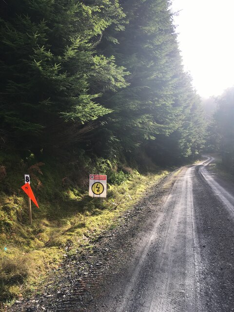
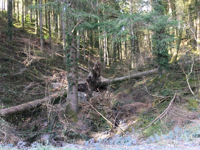
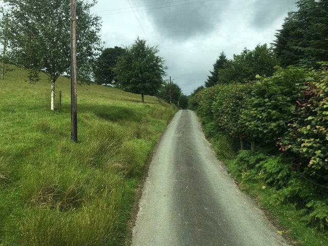
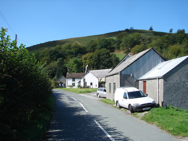
Coed Bryn-melyn Images

Images are sourced within 2km of 52.637134/-3.7823952 or Grid Reference SH7905. Thanks to Geograph Open Source API. All images are credited.

Old Milestone by the B4404, west of Mathafarn, Glantwymyn Parish Carved stone post by the B4404, in parish of Glantwymyn  (Powys District), West of Mathafarn, in hedge on North side of road.

Inscription once read:- : (Machynlleth 5) : 

Surveyed

Milestone Society National ID: MOT_MCWPa05.
Old Milestone by the B4404, west of Mathafarn, Glantwymyn Parish
Carved stone post by the B4404, in parish of Glantwymyn (Powys District), West of Mathafarn, in hedge on North side of road. Inscription once read:- : (Machynlleth 5) : Surveyed Milestone Society National ID: MOT_MCWPa05.
The B4404 road Heading for Cemmaes Road through Dyffryn Dyfi.
The B4404 road
Heading for Cemmaes Road through Dyffryn Dyfi.
The old bridge viewed from the new bridge Crossing Afon Ceirig.
The old bridge viewed from the new bridge
Crossing Afon Ceirig.
The B4404 road Near the Dyfi Jubilee Bridge.
The B4404 road
Near the Dyfi Jubilee Bridge.
Forestry road in Dovey Forest Signage is for the 2021 Roger Albert Clark rally.
Forestry road in Dovey Forest
Signage is for the 2021 Roger Albert Clark rally.
B4404 near Mathafarn
Farmland near Llanwrin
Junction with the entrance to Gelli Farm
Minor road, Cwm Ffrydlan
Forestry, Dyfi Forest
Farm road near Caeadda
River Dyfi at Dyfi Jubilee Bridge
Pont Mathafarn This bridge, of cast iron structure, almost certainly dates from the time when the B4404 road was originally constructed in the late 19th century. It is now redundant as the road has been re-routed over a later adjacent bridge.
Pont Mathafarn
This bridge, of cast iron structure, almost certainly dates from the time when the B4404 road was originally constructed in the late 19th century. It is now redundant as the road has been re-routed over a later adjacent bridge.
B4404 Road Looking westwards from Pont Mathafarn.
B4404 Road
Looking westwards from Pont Mathafarn.
Pasture in Dyffryn Dyfi
Phone box near Brynmelyn The field beyond is part of the Dyfi Valley Caravan and Camping site and is used mainly for touring, with chalets and static caravans on the other side of the road.
Phone box near Brynmelyn
The field beyond is part of the Dyfi Valley Caravan and Camping site and is used mainly for touring, with chalets and static caravans on the other side of the road.
Minor road approaching Pen-y-banc This gives access to the valley of the Afon Ceirig, and also to the caravan site and shooting range close by.
Minor road approaching Pen-y-banc
This gives access to the valley of the Afon Ceirig, and also to the caravan site and shooting range close by.
Minor road up Cwm Ceirig
Show me another place!

Coed Bryn-melyn is located at Grid Ref: SH7905 (Lat: 52.637134, Lng: -3.7823952)

Unitary Authority: Powys

Police Authority: Dyfed Powys

What 3 Words

///crowbar.testy.thinker. Near Corris, Gwynedd

Nearby Locations

Coed Bryn-melyn

Related Wikis

Mathafarn

Mathafarn is a house and farm near Llanwrin, in Wales. The earliest house here was built before 1485, and Mathafarn plays a significant role in Welsh and...

Afon Ceirig

The Afon Ceirig is a small river in Mid Wales. It flows from Esgair Llewelyn in the middle of the Dyfi Hills down to Mathafarn, north-west of Cemmaes Road...

Llanwrin

Llanwrin () is a small village in the valley of the Afon Dyfi in Powys, Wales, about two miles north-east of Machynlleth. == History and background... ==

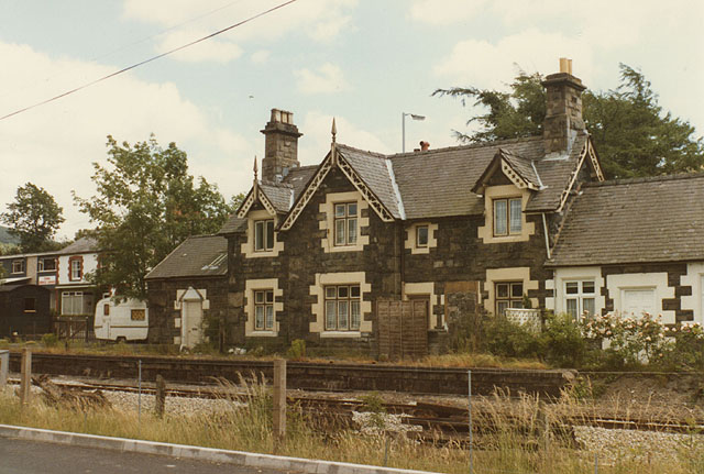
Cemmes Road railway station

Cemmes Road was a railway station on the Newtown and Machynlleth Railway (N&MR) in Mid-Wales, serving the village of Cemmaes Road. The N&MR passed through...

Nearby Amenities

Located within 500m of 52.637134,-3.7823952
Bryn Mawr
Natural: peak
Lat/Long: 52.6339812/-3.7874914
Place: farm
Lat/Long: 52.6386158/-3.7840685
Ford: yes
Lat/Long: 52.6401241/-3.7822634
The data included in this document is from www.openstreetmap.org. The data is made available under ODbL.

Have you been to Coed Bryn-melyn?

Leave your review of Coed Bryn-melyn below (or comments, questions and feedback).