Burton
Settlement in Somerset Somerset West and Taunton
England
Burton

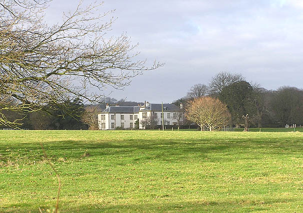
Burton is a small village located in the county of Somerset, England. Situated approximately 3 miles south of the town of Bridgwater, it is nestled in the picturesque countryside of the Somerset Levels. With a population of around 700 residents, Burton offers a peaceful and close-knit community atmosphere.
The village is steeped in history, with its origins dating back to the Domesday Book of 1086. Its name is derived from the Old English words "burh" and "tun," meaning fortified farmstead, reflecting its historical significance. Many of the buildings in Burton showcase the traditional architectural style of Somerset, including thatched cottages and stone houses.
One of the notable features of Burton is its 13th-century parish church, dedicated to St. Michael and All Angels. This medieval church stands as an important landmark in the village and serves as a place of worship for the local community. Additionally, Burton boasts a primary school, providing education to children in the area.
Although small in size, Burton offers a range of amenities and services for its residents. These include a village hall, a post office, a convenience store, and a pub, providing a sense of community and meeting places for locals. The surrounding countryside provides opportunities for outdoor activities, such as walking, cycling, and birdwatching, with several nature reserves nearby.
Overall, Burton is a charming and historic village that offers a peaceful and idyllic setting for its residents. Its rich heritage, coupled with a strong sense of community, contributes to the village's appeal and makes it an attractive place to live.
If you have any feedback on the listing, please let us know in the comments section below.
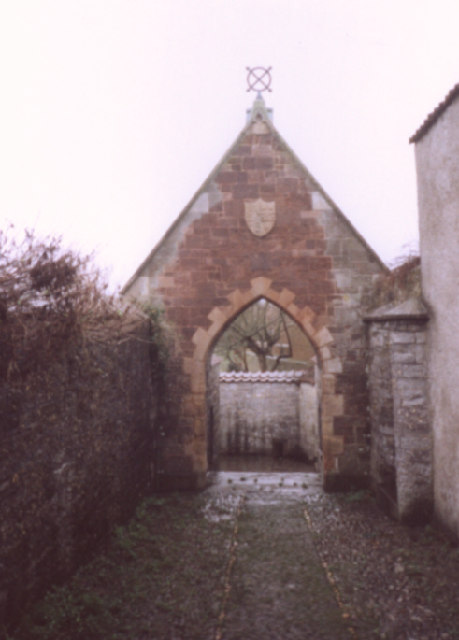
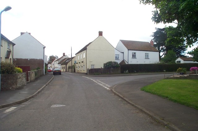
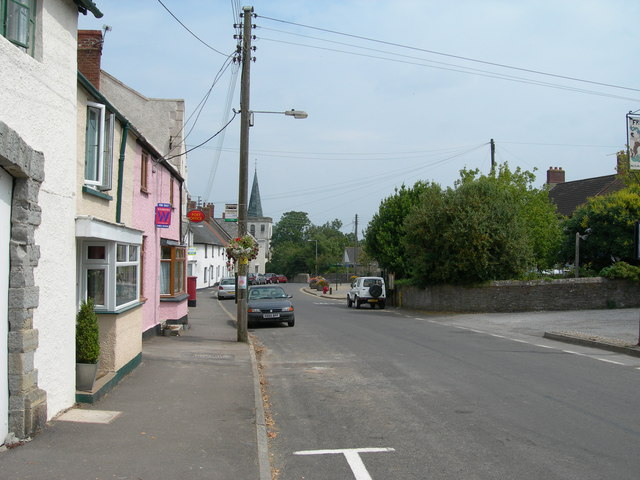
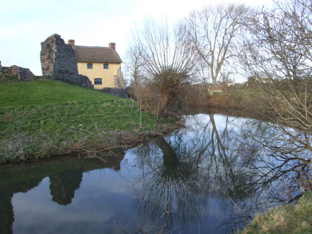
Burton Images
Images are sourced within 2km of 51.191263/-3.1548 or Grid Reference ST1944. Thanks to Geograph Open Source API. All images are credited.


Burton is located at Grid Ref: ST1944 (Lat: 51.191263, Lng: -3.1548)
Administrative County: Somerset
District: Somerset West and Taunton
Police Authority: Avon and Somerset
What 3 Words
///vast.degrading.oatmeal. Near Nether Stowey, Somerset
Related Wikis
Fairfield, Stogursey
Fairfield House is a historic house in Stogursey, Somerset, England. A house existed on the site from the 12th century and it has been owned by the same...

Stogursey Priory
Stogursey Priory, also called Stoke Courcy Priory or The Priory of St Andrew de Stoke, was a Benedictine alien priory dedicated to St Andrew at Stogursey...

Stogursey
Stogursey is a small village and civil parish in the Quantock Hills in Somerset, England. It is situated 3 miles (4.8 km) from Nether Stowey, and 8 miles...
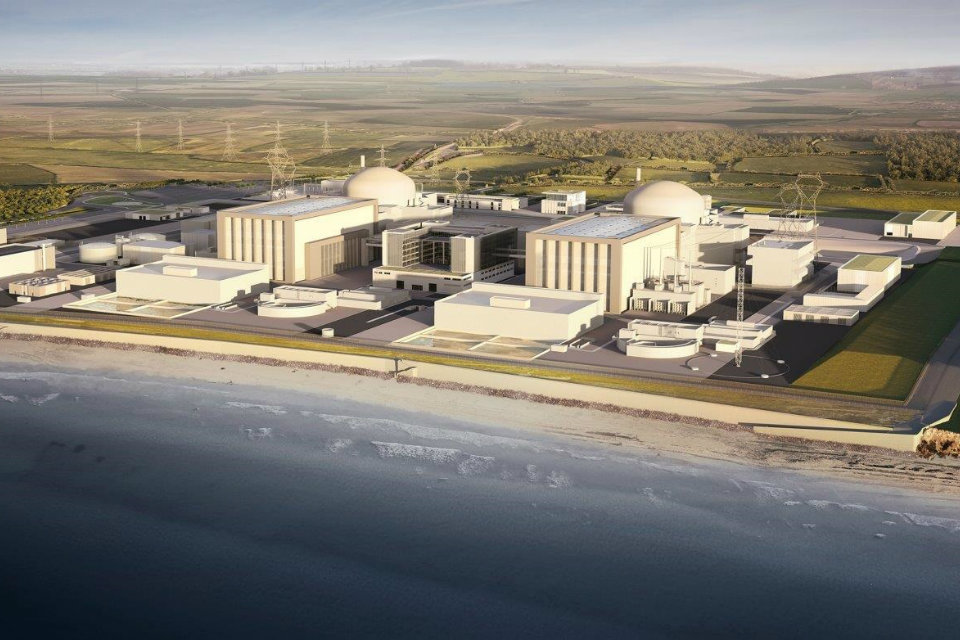
Hinkley Point C nuclear power station
Hinkley Point C nuclear power station (HPC) is a two-unit, 3,200 MWe EPR nuclear power station under construction in Somerset, England. The site was one...
Nearby Amenities
Located within 500m of 51.191263,-3.1548Have you been to Burton?
Leave your review of Burton below (or comments, questions and feedback).