Burton

Settlement in Lincolnshire West Lindsey

England

Burton

Gate piers, Burton An idiosyncratic and ebullient prelude to the more conventional Georgian Burton Hall. These are possibly the work of William Watkins, c1870. Whoever was responsible clearly enjoyed themselves. Grade II listed.
Gate piers, Burton Credit: Stephen Richards

Burton is a small village located in the East Lindsey district of Lincolnshire, England. Situated about 5 miles south of the town of Louth, it lies on the A157 road, providing easy access to surrounding areas. With a population of around 400 residents, it offers a peaceful and close-knit community atmosphere.

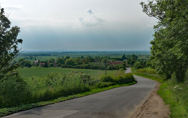
The village is known for its rich agricultural heritage, surrounded by beautiful farmland and rolling countryside. The fertile soil supports a variety of crops, and farming activities play a significant role in the local economy. Traditional farming practices can be observed in the area, with fields of wheat, barley, and oilseed rape being common sights.

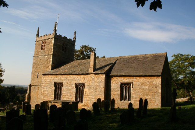
Despite its small size, Burton has a few amenities to cater to the needs of its residents. These include a village hall, a post office, and a small convenience store. The village also has a historic church, St. Vincent's, which dates back to the 13th century and exhibits stunning architectural features.

Nature lovers can enjoy the nearby nature reserves and wildlife areas, such as Hubbard's Hills and Lincolnshire Wolds, which offer picturesque landscapes and opportunities for outdoor activities like hiking and birdwatching. The village is also conveniently located for those wishing to explore the Lincolnshire coast, with popular seaside towns like Skegness and Mablethorpe within a short drive.

In summary, Burton is a charming rural village in Lincolnshire, characterized by its agricultural heritage, peaceful surroundings, and a strong sense of community.

If you have any feedback on the listing, please let us know in the comments section below.
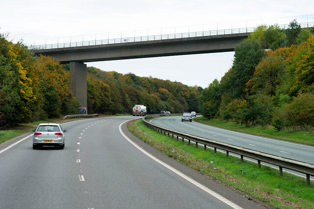
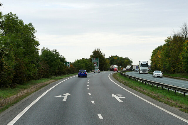
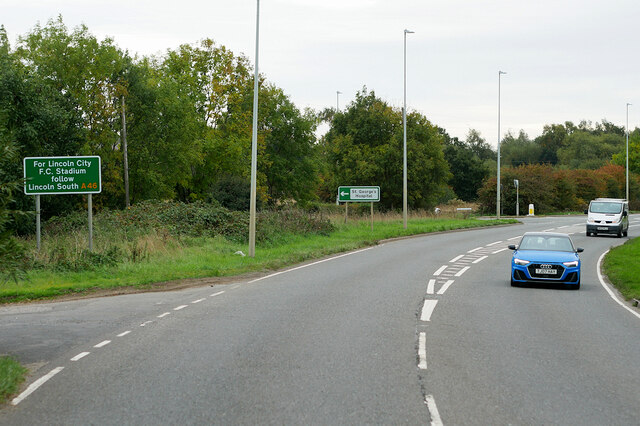
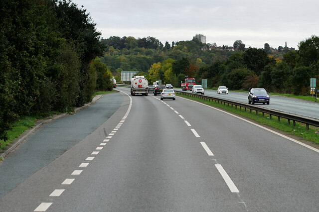
Burton Images

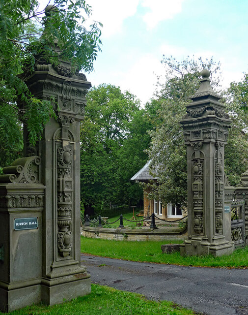
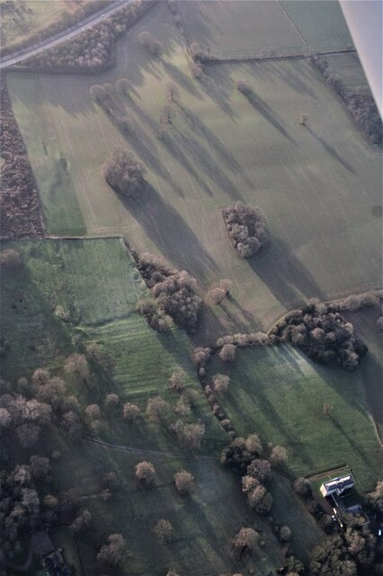
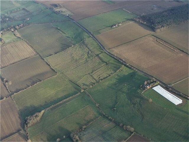
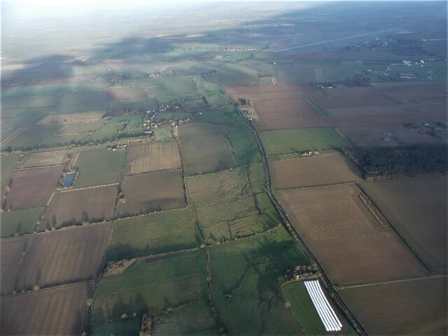
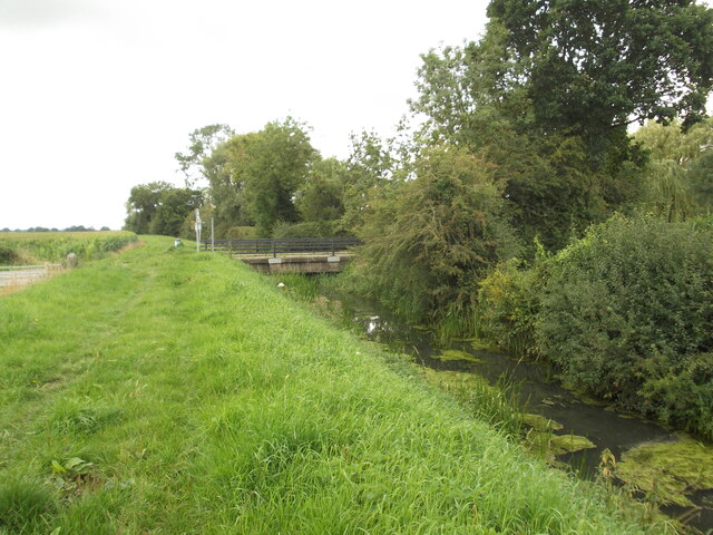
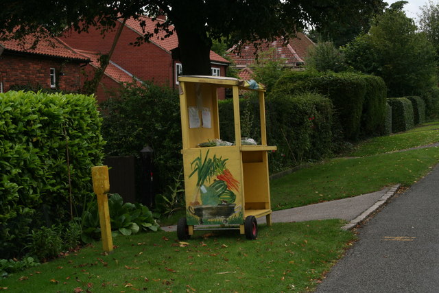
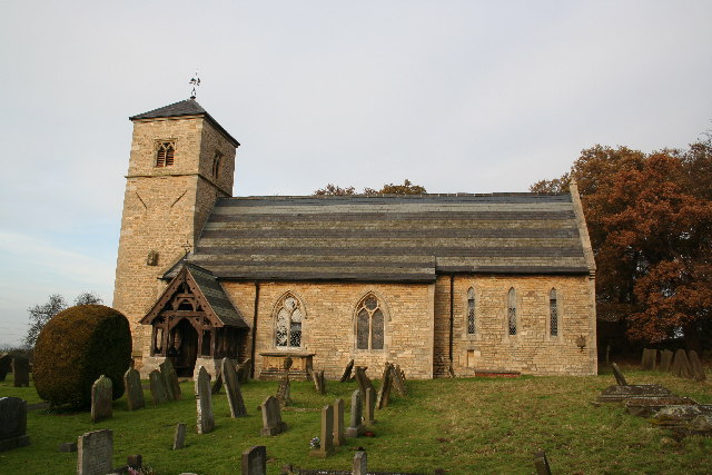
Images are sourced within 2km of 53.259824/-0.56216049 or Grid Reference SK9674. Thanks to Geograph Open Source API. All images are credited.

Gate piers, Burton An idiosyncratic and ebullient prelude to the more conventional Georgian Burton Hall. These are possibly the work of William Watkins, c1870. Whoever was responsible clearly enjoyed themselves. Grade II listed.
Gate piers, Burton
An idiosyncratic and ebullient prelude to the more conventional Georgian Burton Hall. These are possibly the work of William Watkins, c1870. Whoever was responsible clearly enjoyed themselves. Grade II listed.
Burton Park, Lincoln: aerial 2022 The earthworks are picked out by the early January morning frost.
Burton Park, Lincoln: aerial 2022
The earthworks are picked out by the early January morning frost.
Ridge and Furrow between Burton and South Carlton: aerial 2022 (1) See: <span class="nowrap"><a title="https://www.heritagegateway.org.uk/Gateway/Results_Single.aspx?uid=MLI52261&resourceID=1006" rel="nofollow ugc noopener" href="https://www.heritagegateway.org.uk/Gateway/Results_Single.aspx?uid=MLI52261&resourceID=1006">Link</a><img style="margin-left:2px;" alt="External link" title="External link - shift click to open in new window" src="https://s1.geograph.org.uk/img/external.png" width="10" height="10"/></span>
Ridge and Furrow between Burton and South Carlton: aerial 2022 (1)
See: LinkExternal link
Ridge and Furrow between Burton and South Carlton: aerial 2022 (2) See: <span class="nowrap"><a title="https://www.heritagegateway.org.uk/Gateway/Results_Single.aspx?uid=MLI52261&resourceID=1006" rel="nofollow ugc noopener" href="https://www.heritagegateway.org.uk/Gateway/Results_Single.aspx?uid=MLI52261&resourceID=1006">Link</a><img style="margin-left:2px;" alt="External link" title="External link - shift click to open in new window" src="https://s1.geograph.org.uk/img/external.png" width="10" height="10"/></span>
Ridge and Furrow between Burton and South Carlton: aerial 2022 (2)
See: LinkExternal link
Burton Road Cut Mark B35852 Burton Road Cut Mark B35852 at the junction with Queen Mary Road.
Burton Road Cut Mark B35852
Burton Road Cut Mark B35852 at the junction with Queen Mary Road.
Country road near South Carlton Descending to the village.
Faintly visible on the horizon are two power stations - possibly those at Cottam (<a href="https://www.geograph.org.uk/photo/1738324">SK8179 : Cottam power station</a>) and West Burton (<a href="https://www.geograph.org.uk/photo/1738725">SK7985 : West Burton power station</a>).
Country road near South Carlton
Descending to the village. Faintly visible on the horizon are two power stations - possibly those at Cottam (SK8179 : Cottam power station) and West Burton (SK7985 : West Burton power station).
Cut Mark: Lincoln, New Bishop Bridge Cut bench mark of the west end of the north parapet.  See <a title="https://www.geograph.org.uk/photo/7188613" href="https://www.geograph.org.uk/photo/7188613">Link</a> for a closer view and <span class="nowrap"><a title="https://www.bench-marks.org.uk/bm171017" rel="nofollow ugc noopener" href="https://www.bench-marks.org.uk/bm171017">Link</a><img style="margin-left:2px;" alt="External link" title="External link - shift click to open in new window" src="https://s1.geograph.org.uk/img/external.png" width="10" height="10"/></span> for details of the mark.
Cut Mark: Lincoln, New Bishop Bridge
Cut bench mark of the west end of the north parapet. See Link for a closer view and LinkExternal link for details of the mark.
Cut Mark: Lincoln, New Bishop Bridge Cut bench mark of the west end of the north parapet.  See <a title="https://www.geograph.org.uk/photo/7188611" href="https://www.geograph.org.uk/photo/7188611">Link</a> for a wider view and <span class="nowrap"><a title="https://www.bench-marks.org.uk/bm171017" rel="nofollow ugc noopener" href="https://www.bench-marks.org.uk/bm171017">Link</a><img style="margin-left:2px;" alt="External link" title="External link - shift click to open in new window" src="https://s1.geograph.org.uk/img/external.png" width="10" height="10"/></span> for details of the mark.
Cut Mark: Lincoln, New Bishop Bridge
Cut bench mark of the west end of the north parapet. See Link for a wider view and LinkExternal link for details of the mark.
Bridge over the A46 near Lincoln The bridge takes Burton Road (B1398) over the A46, Lincoln Western Bypass.
Bridge over the A46 near Lincoln
The bridge takes Burton Road (B1398) over the A46, Lincoln Western Bypass.
A46 approaching Riseholme Roundabout The A46 is an important cross-country route which runs from the West Country to the North Sea.  It starts to the east of Bath in Somerset and ends in Cleethorpes in North East Lincolnshire.  It is no longer a continuous route as large portions of the old (1923) road have been lost, bypassed, or replaced by motorway development. For more detail, see <span class="nowrap"><a title="http://en.wikipedia.org/wiki/A46_road" rel="nofollow ugc noopener" href="http://en.wikipedia.org/wiki/A46_road">Link</a><img style="margin-left:2px;" alt="External link" title="External link - shift click to open in new window" src="https://s1.geograph.org.uk/img/external.png" width="10" height="10"/></span> (Wikipedia Article).
A46 approaching Riseholme Roundabout
The A46 is an important cross-country route which runs from the West Country to the North Sea. It starts to the east of Bath in Somerset and ends in Cleethorpes in North East Lincolnshire. It is no longer a continuous route as large portions of the old (1923) road have been lost, bypassed, or replaced by motorway development. For more detail, see LinkExternal link (Wikipedia Article).
A57, Saxilby Road
A57, Saxilby Road
Layby on the A46 near Carholme The A46 is an important cross-country route which runs from the West Country to the North Sea.  It starts to the east of Bath in Somerset and ends in Cleethorpes in North East Lincolnshire.  It is no longer a continuous route as large portions of the old (1923) road have been lost, bypassed, or replaced by motorway development. For more detail, see <span class="nowrap"><a title="http://en.wikipedia.org/wiki/A46_road" rel="nofollow ugc noopener" href="http://en.wikipedia.org/wiki/A46_road">Link</a><img style="margin-left:2px;" alt="External link" title="External link - shift click to open in new window" src="https://s1.geograph.org.uk/img/external.png" width="10" height="10"/></span> (Wikipedia Article).
Layby on the A46 near Carholme
The A46 is an important cross-country route which runs from the West Country to the North Sea. It starts to the east of Bath in Somerset and ends in Cleethorpes in North East Lincolnshire. It is no longer a continuous route as large portions of the old (1923) road have been lost, bypassed, or replaced by motorway development. For more detail, see LinkExternal link (Wikipedia Article).
The A15, Lincoln South along the A15 towards the roundabout where the A15 meets Riseholme Road and the A46.
The A15, Lincoln
South along the A15 towards the roundabout where the A15 meets Riseholme Road and the A46.
The A15, north of Lincoln Looking north along the A15 road on the northern edge of Lincoln.
The A15, north of Lincoln
Looking north along the A15 road on the northern edge of Lincoln.
Waves Farm Cottage
Waves Farm Cottage
Burton bridge pumping station
Burton Bridge
Burton Bridge
Vegetable stall in Riseholme village
Show me another place!

Burton is located at Grid Ref: SK9674 (Lat: 53.259824, Lng: -0.56216049)

Division: Parts of Lindsey

Administrative County: Lincolnshire

District: West Lindsey

Police Authority: Lincolnshire

Also known as: Burton-by-Lincoln

What 3 Words

///under.ocean.apples. Near Burton, Lincolnshire

Nearby Locations

Burton Burton-by-Lincoln

Related Wikis

Burton, Lincolnshire

Burton is a civil parish in the West Lindsey district of Lincolnshire, England. Its core settlement is Burton-by-Lincoln. a village situated approximately...

Sobraon Barracks

Sobraon Barracks is a military installation in Lincoln, England. It is currently occupied by the 160 (Lincoln) Squadron Royal Logistic Corps and Lincolnshire...

South Carlton

South Carlton is a village and civil parish in the West Lindsey district of Lincolnshire, England. It is situated on the B1398 road, approximately 2 miles...

Lincoln Castle Academy

Lincoln Castle Academy is a secondary school with academy status located on the north side of the historic city of Lincoln in Lincolnshire, England. It...

Nearby Amenities

Located within 500m of 53.259824,-0.56216049
Burton-by-Lincoln
Alt Name: Burton
Place: village
Source: NPE
Wikidata: Q5000775
Lat/Long: 53.2605063/-0.562336
Traffic Signals
Lat/Long: 53.2607974/-0.5588934
Bus Stop
Post Office
Naptan AtcoCode: 2700LBHT0495
Naptan Bearing: NW
Naptan CommonName: Post Office
Naptan Indicator: adj
Naptan Landmark: Post Office
Naptan NaptanCode: linadtgw
Naptan Street: Middle Street
Naptan Verified: no
Source: naptan_import
Lat/Long: 53.2610482/-0.55906
Bus Stop
Post Office
Naptan AtcoCode: 2700LBHT1646
Naptan Bearing: SE
Naptan CommonName: Post Office
Naptan Indicator: opp
Naptan Landmark: Post Office
Naptan NaptanCode: linamgdp
Naptan Street: Middle Street
Naptan Verified: no
Source: naptan_import
Lat/Long: 53.2602396/-0.5583525
Burton Park
Place: locality
Source: Bing
Lat/Long: 53.2563181/-0.5595588
Generator Method: photovoltaic
Generator Output Electricity: yes
Generator Source: solar
Generator Type: solar_photovoltaic_panel
Location: roof
Power: generator
Lat/Long: 53.2608073/-0.5648289
Generator Method: photovoltaic
Generator Output Electricity: yes
Generator Source: solar
Generator Type: solar_photovoltaic_panel
Location: roof
Power: generator
Lat/Long: 53.25962/-0.5619429
Power: pole
Source: bing
Lat/Long: 53.2630961/-0.5571015
Power: pole
Source: bing
Lat/Long: 53.2628931/-0.558393
Power: pole
Source: bing
Transformer: distribution
Lat/Long: 53.2626845/-0.559714
Post Box
Collection Times: Mo-Fr 09:00; Sa 07:00
Operator: Royal Mail
Operator Wikidata: Q638098
Post Box Type: lamp
Ref: LN1 358D
Royal Cypher: EIIR
Royal Cypher Wikidata: Q33102113
Source: survey
Lat/Long: 53.2599087/-0.562119
Historic: memorial
Inscription: on front of building
Memorial: war_memorial
Lat/Long: 53.2598559/-0.5616509
The data included in this document is from www.openstreetmap.org. The data is made available under ODbL.

Have you been to Burton?

Leave your review of Burton below (or comments, questions and feedback).